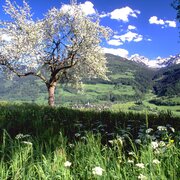
Gröbminger Land
Circular route around the stream
Hiking trail
Data:

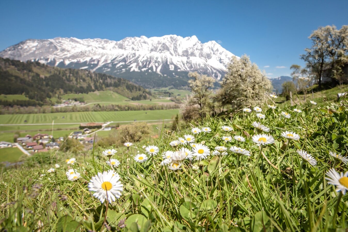
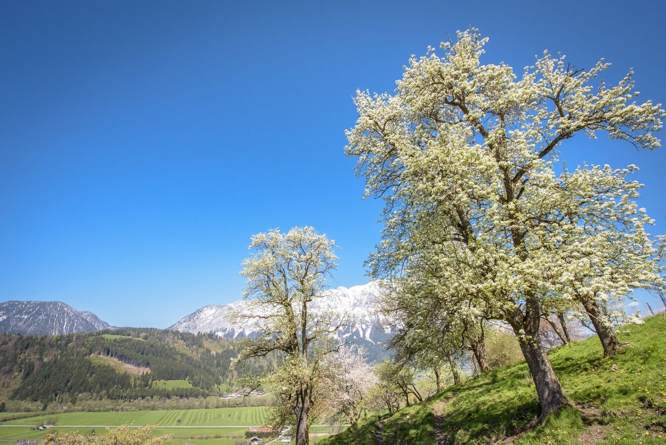
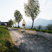
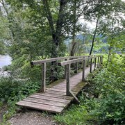
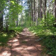
Tour description
Continue along the R7 cycle path in the direction of the Bach district to the Einöder farm uphill to the Stapfer estate, continue to the Randler junction, uphill to the Öblarn MG spring tapping, downhill to the left to the Grabnerhof, on Schattenbergstraße to Öblarn.
The tour
Starting point
Sport area Öblarn
Destination
Öblarn
Tour characteristics
Information
Distance: 6.7 km
Duration:
2 h 15 min
Ascent: 225 m
Descent: 225 m
highest point: 881 m