Hans Knauss Run
snadné Running · Schladming
Vlastnosti túry
Vhodnost
Technika
Informace o túře
Trasa: 5.31 km
Doba trvání: 00:45 h
Výstup: 135 m
Sestup: 135 m
Nejlepší roční období
Leden
Únor
Březen
Duben
Květen
Červen
Červenec
Srpen
Září
Říjen
Listopad
Prosinec
Túra
The run starts at the hiking trail head in the village of Untertal and takes you to Janerbrücke bridge in Untertal with a total length of 5.3 kms and an elevation gain of 135 m. The run is named after Hans Knauss, who belonged to the best Alpine ski races in the disciplines of Giant Slalom, Super-G and Downhill over several years. At the Olympic Games 1998 in Nagaon he won a silver medal in Super-G, at the World Championships 2003 he won a silver medal in Giant Slalom and at the World Championships 1999 he won a bronze medal in the Super-G race.
Více informací
Popis trasy
You start at the Untertal-Dorf hiking portal, from where you walk into the valley along the Untertalbach. At the small farm "Burgner" you turn right before the bridge and run up the ravine to Untertalstraße road. Along this you now run into the valley to the Janerbrücke bridge. Over the bridge you now run out of the valley along the Janerweg road until you reach the Gföller farm. There you turn left and run downhill across the meadows back to Ahlhof farm and to the village of Untertal.
Příjezd
From Schladming take provincial highway L722 (Rohrmoosstraße road) to Rohrmoos and at the roundabout continue on provincial highway L723 (Tälerstraße road) to the village of Untertal.
With the Planai buses from Schladming (Planet-Planai, Lendplatz) or Rohrmoos (Rohrmoos-Zentrum) to the village of Untertal - bus stop Untertal-Dorf.
- Buses of Planai-Hochwurzen-Bahnen: www.planaibus.at
Parkování
Parking is available at the trail head.
Začátek
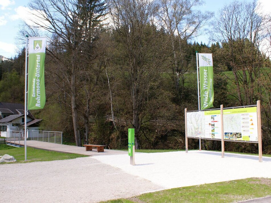
Hiking trail head, Untertal village
Cíl
Hiking trail head, Untertal village
Trail running shoes are recommended.
Další informace a odkazy
Tourist information: www.schladming.com
Information about bus schedules: www.planaibus.at
- Tourist map "Hiking - Running - Walking", available at the tourist office Schladming.
- Tourist map "Hiking - Running - Walking", available at the tourist office Schladming.
Také by vás to mohlo zajímat
Předpověď počasí
Vybrat datum
Dull throughout the day with light snowfall every once in a while.
Constant snowfall through the day. Slow-down towards evening.
Early clouds will gradually clear to leave the region with a dry and sunny day.


