Haus-Aich
Au-Runde
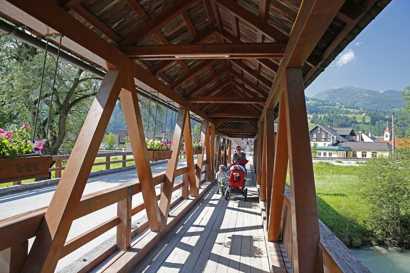
Walking Path
Data:
Tour description
First along the Enns, then via the farming settlement of Au towards Gössenberg and back again to Aich. An easy walk for the whole family.
The tour
easy
publicly accessible
Starting and end point
Dorfplatz Aich - Railway Station Hiking Portal
Tour characteristics
Distance: 4.9 km
Fitness (2/6)
Information
Distance: 4.9 km
Duration:
1:30 h
Ascent: 140 m
Descent: 140 m
highest point: 825 m
Best season
Jan
Feb
Mar
Apr
May
Jun
Jul
Aug
Sep
Oct
Nov
Dec
Map, elevation profile & further information
From the village square in Aich, cross the railway tracks and then immediately turn right (before the bridge over the Enns). Head east along the Enns into the area known as "Au". Here, turn right up into the farming settlement of Au and then turn right again - continuing slightly uphill towards Gössenberg. You will reach the Gössenbergstraße and follow it back downhill to Aich.
Trail conditions
Ennstalbundesstraße (B320) until AichVillage square / parking area next to the GrafenWirt.
Postbus (L900) - Exit: Aich or Aich Bundesstraße
- Sturdy shoes
- Rain protection
- Here are all the hiking maps and important brochures to download
Tour at your own risk! No liability is accepted for any alpine dangers (weather, etc.) that may occur. Weather changes, rapid drops in temperature, thunderstorms, wind, fog and snow fields are objective dangers and require the correct behaviour on the way. In an emergency, please dial the following emergency numbers:
No. 140 - for alpine emergencies - Austria-wide
No. 112 - Euro emergency call GSM emergency call service
No. 140 - for alpine emergencies - Austria-wide
No. 112 - Euro emergency call GSM emergency call service


