Gröbminger Land
Birgseiten Runde P3
Walking Path
Data:
copyright: David Stocker
copyright: David Stocker
copyright: David Stocker
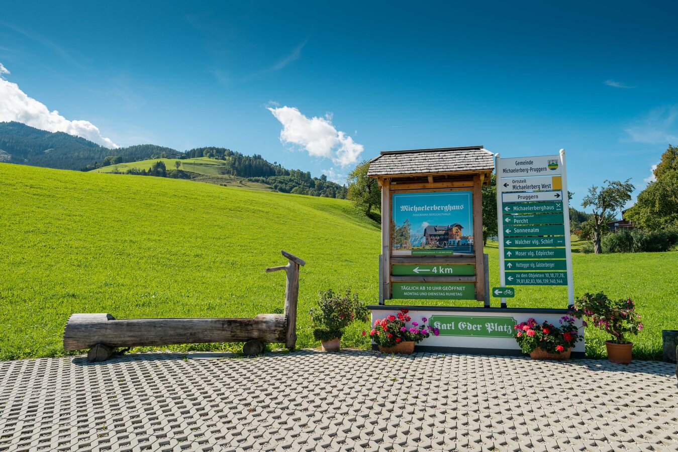
copyright: David Stocker
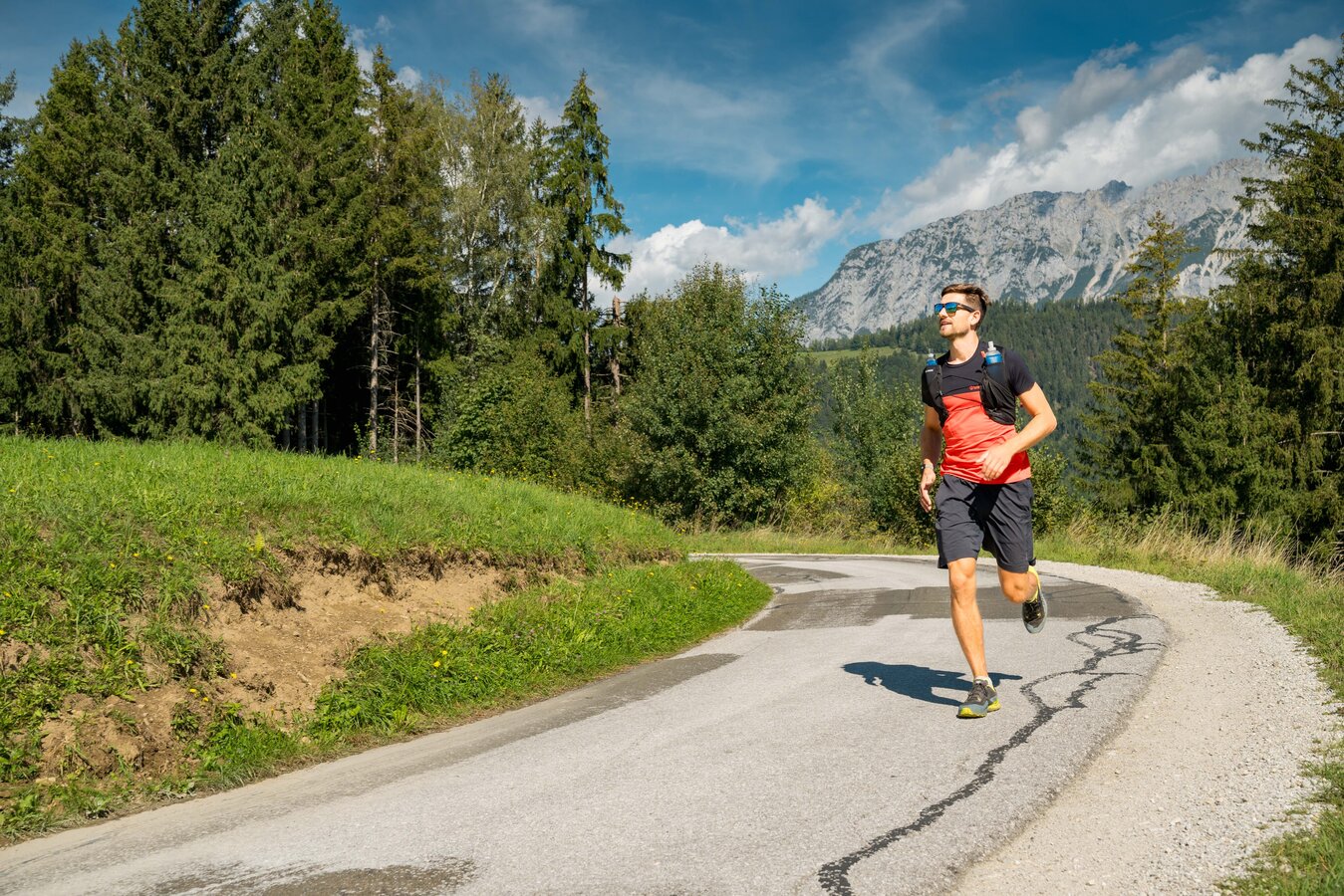
copyright: David Stocker
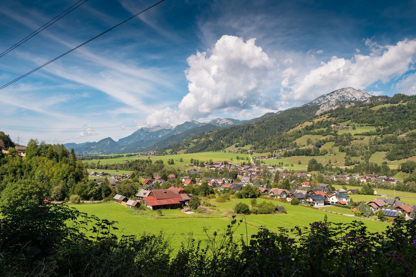
copyright: David Stocker
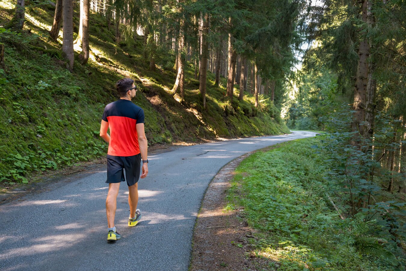
copyright: David Stocker
copyright: Markus Schrempf
copyright: Markus Schrempf
copyright: Markus Schrempf
copyright: Markus Schrempf
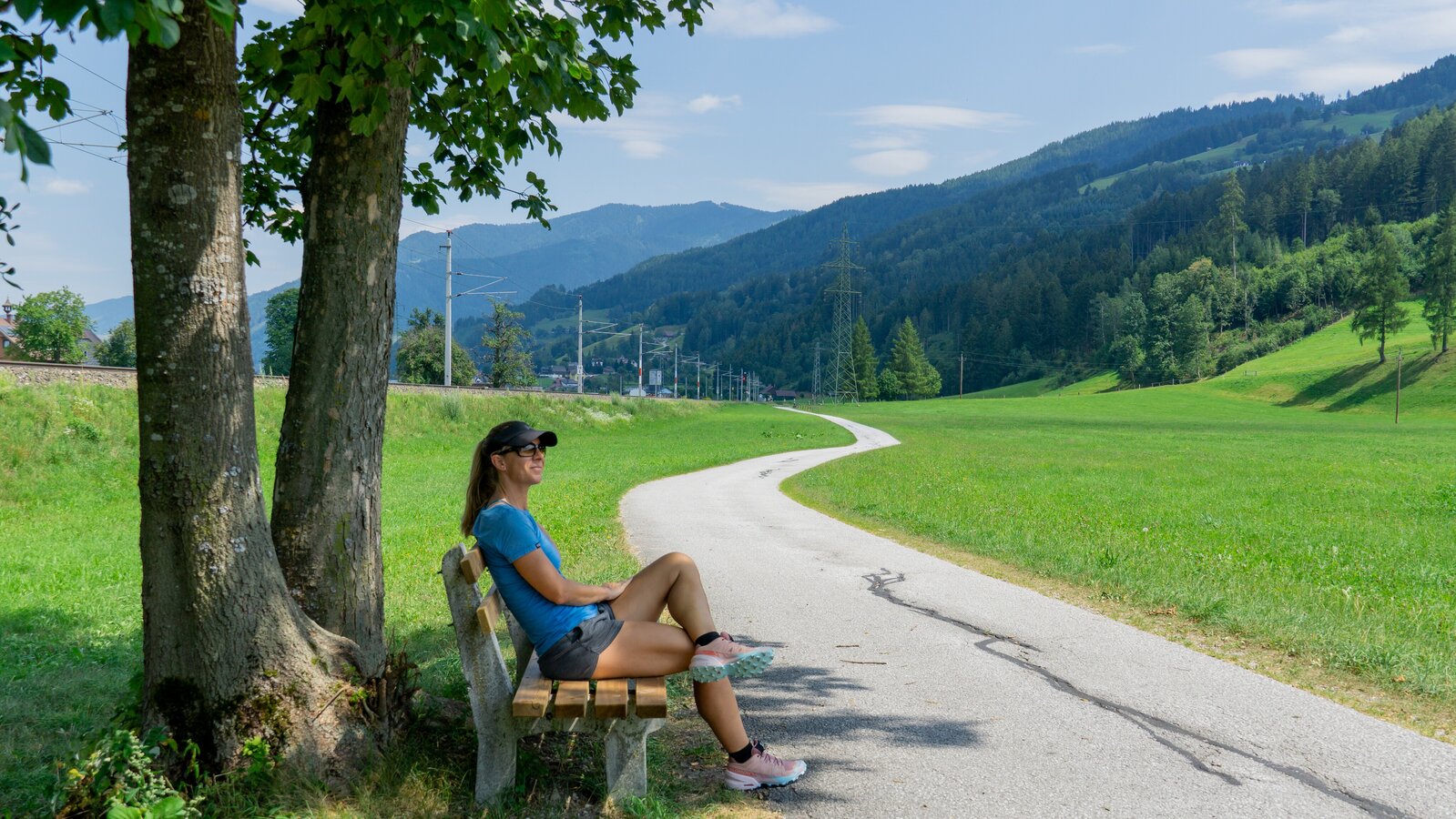
copyright: Markus Schrempf
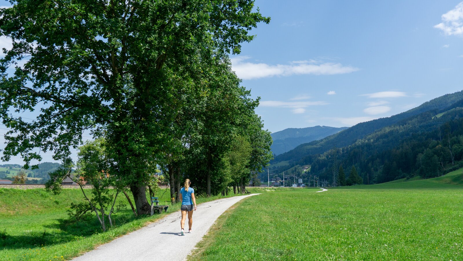
copyright: Markus Schrempf
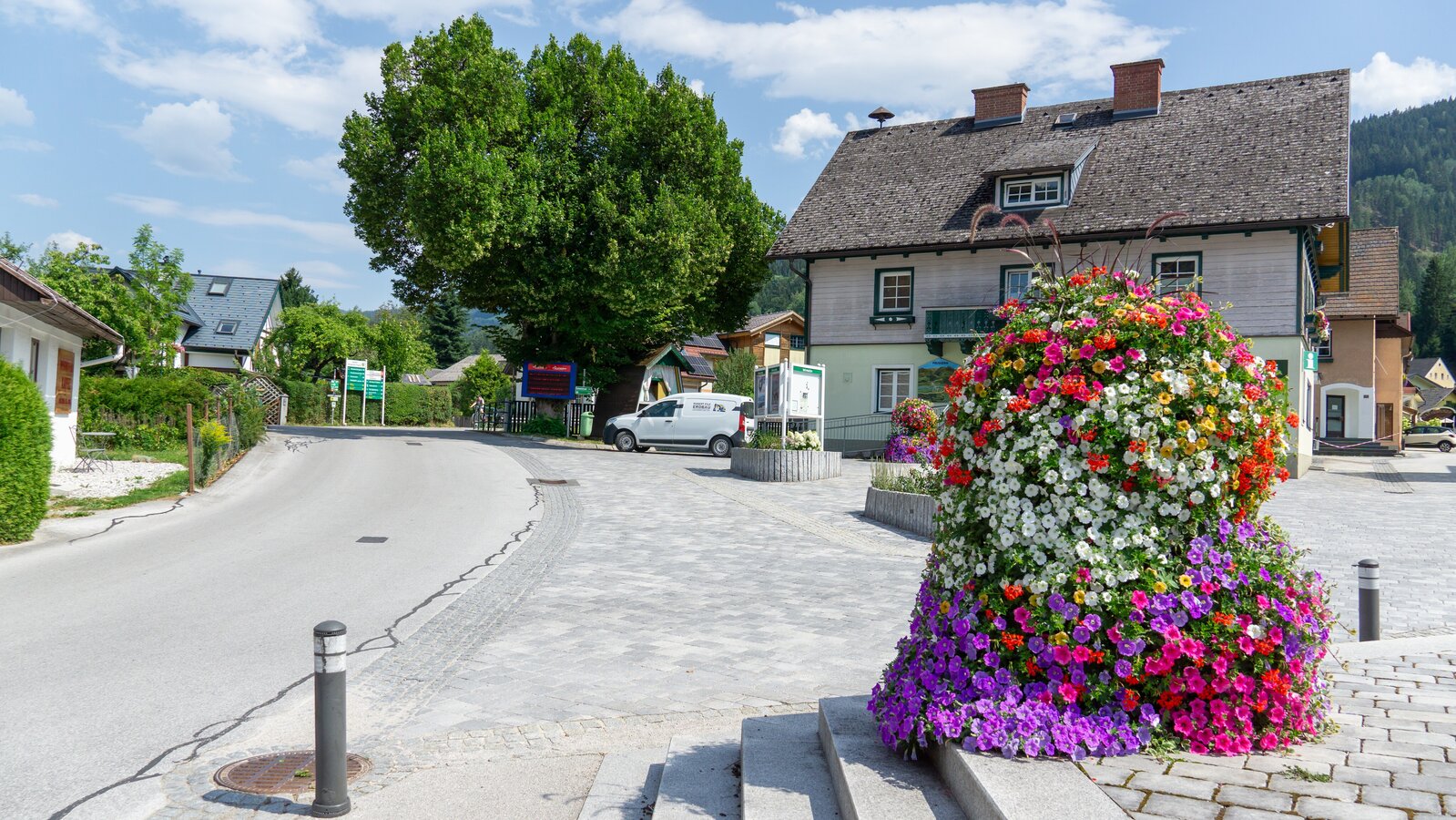
copyright: Markus Schrempf
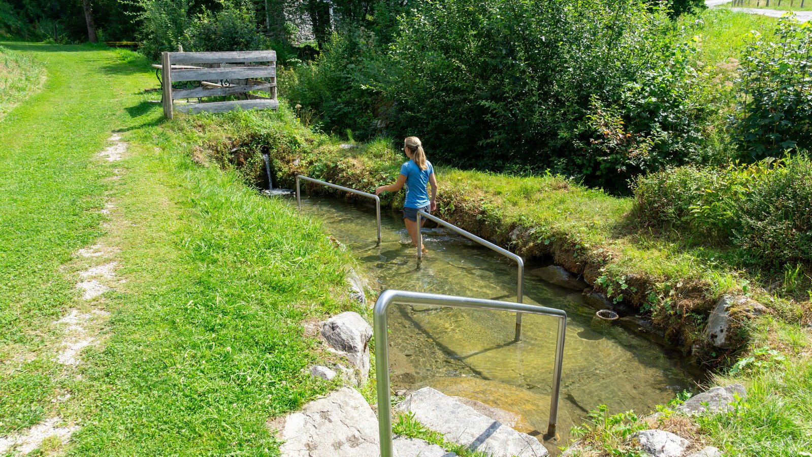
copyright: Markus Schrempf
Tour description
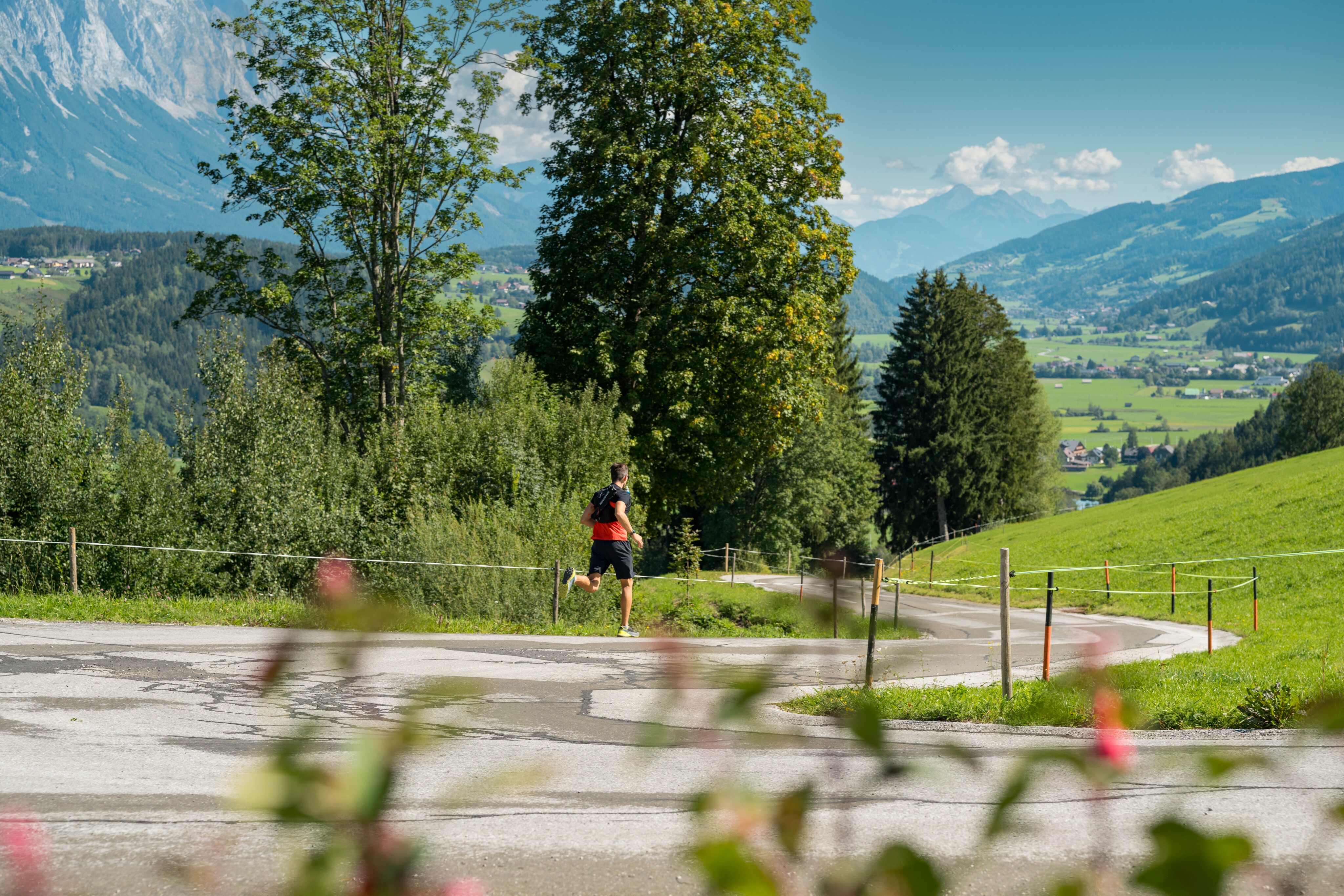
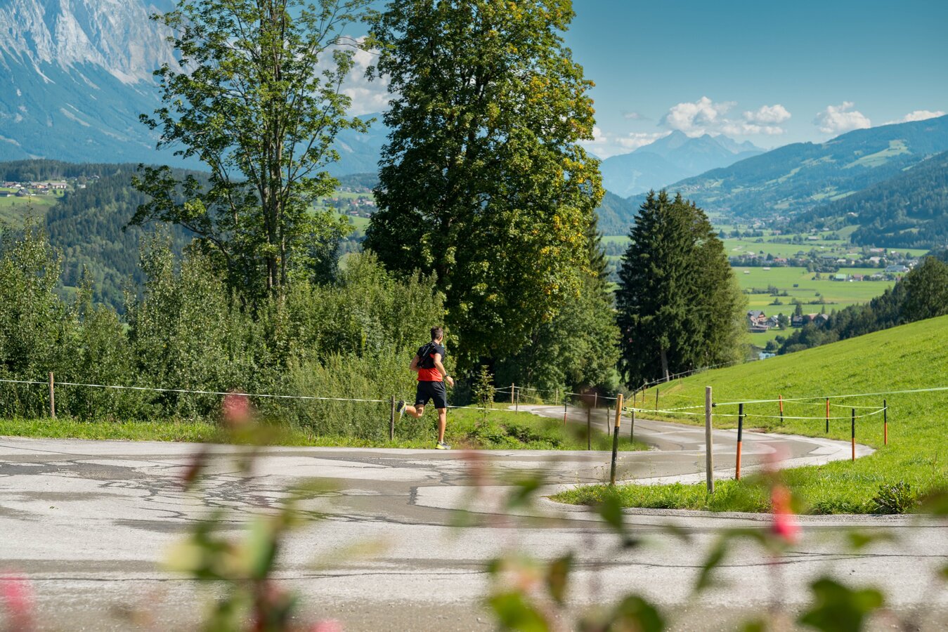
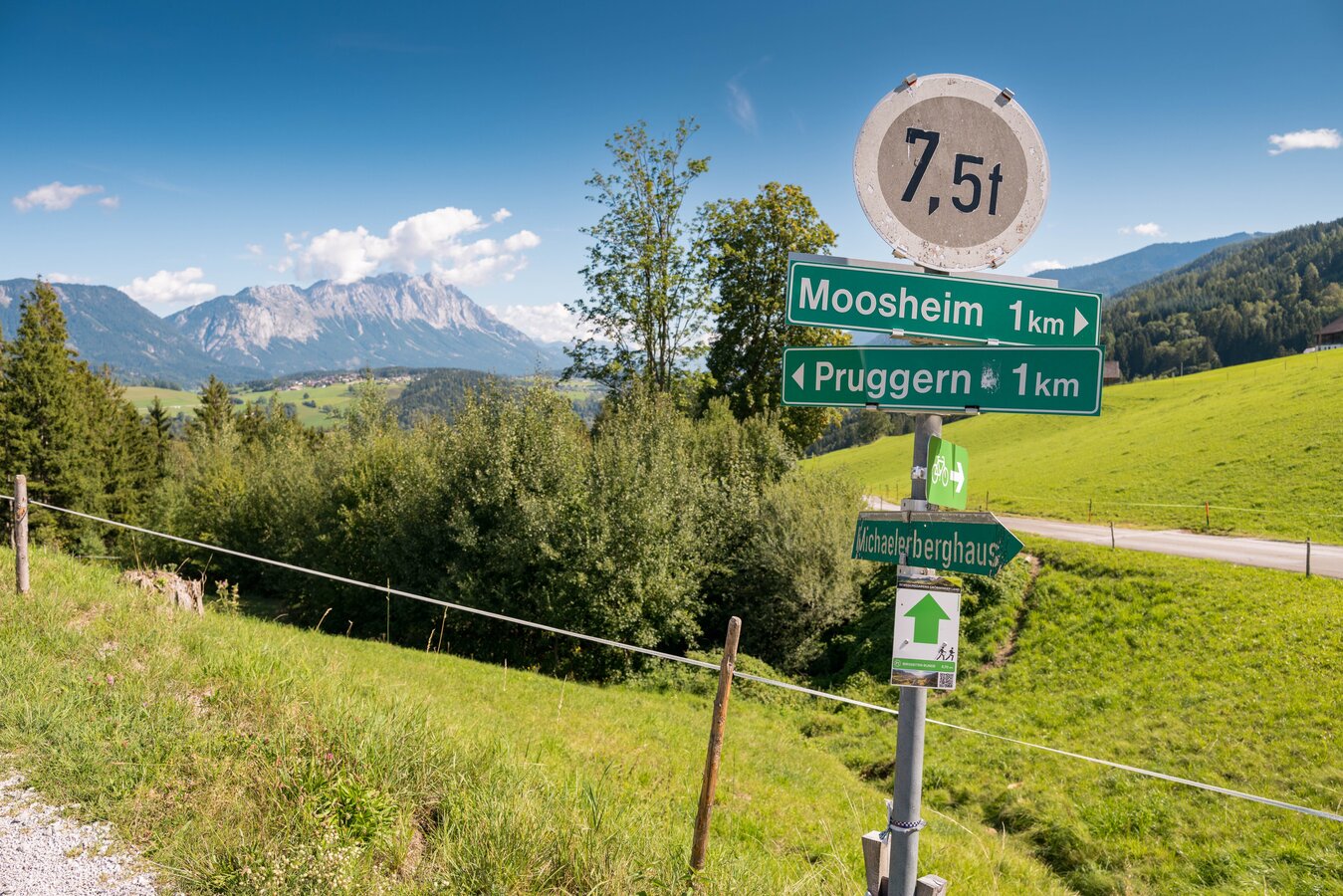
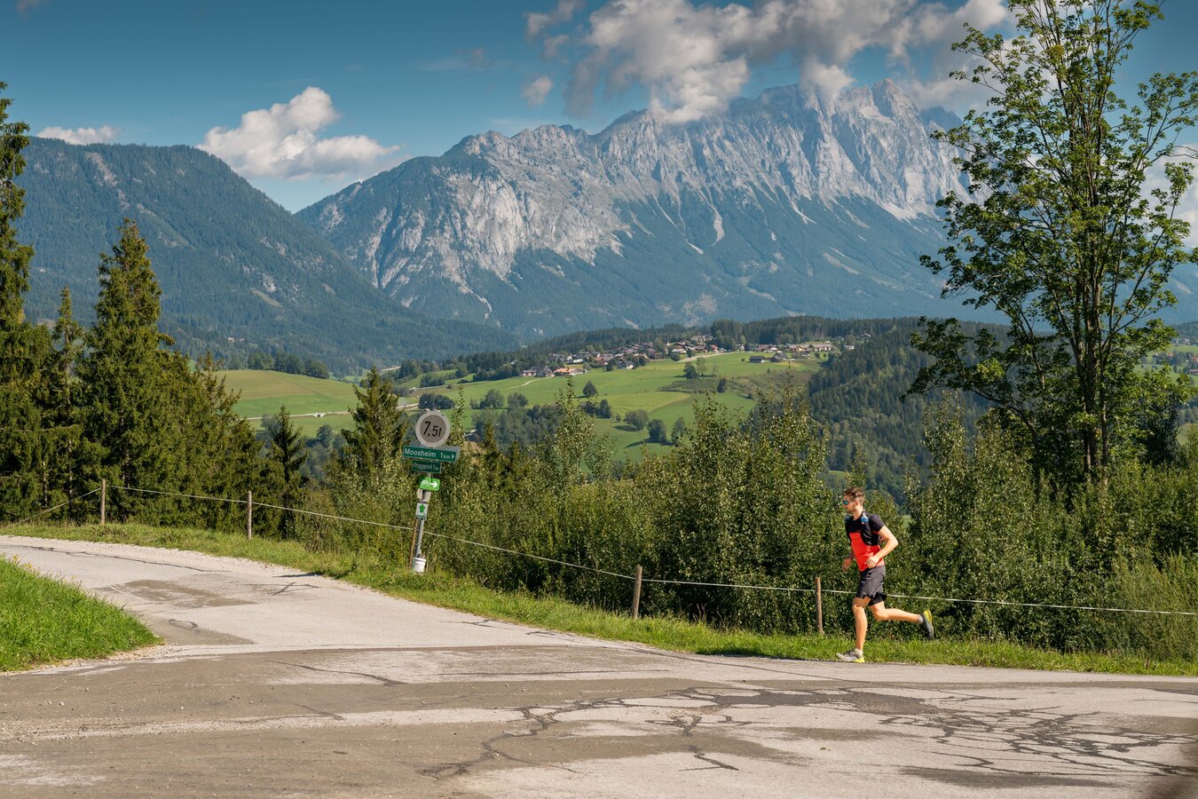
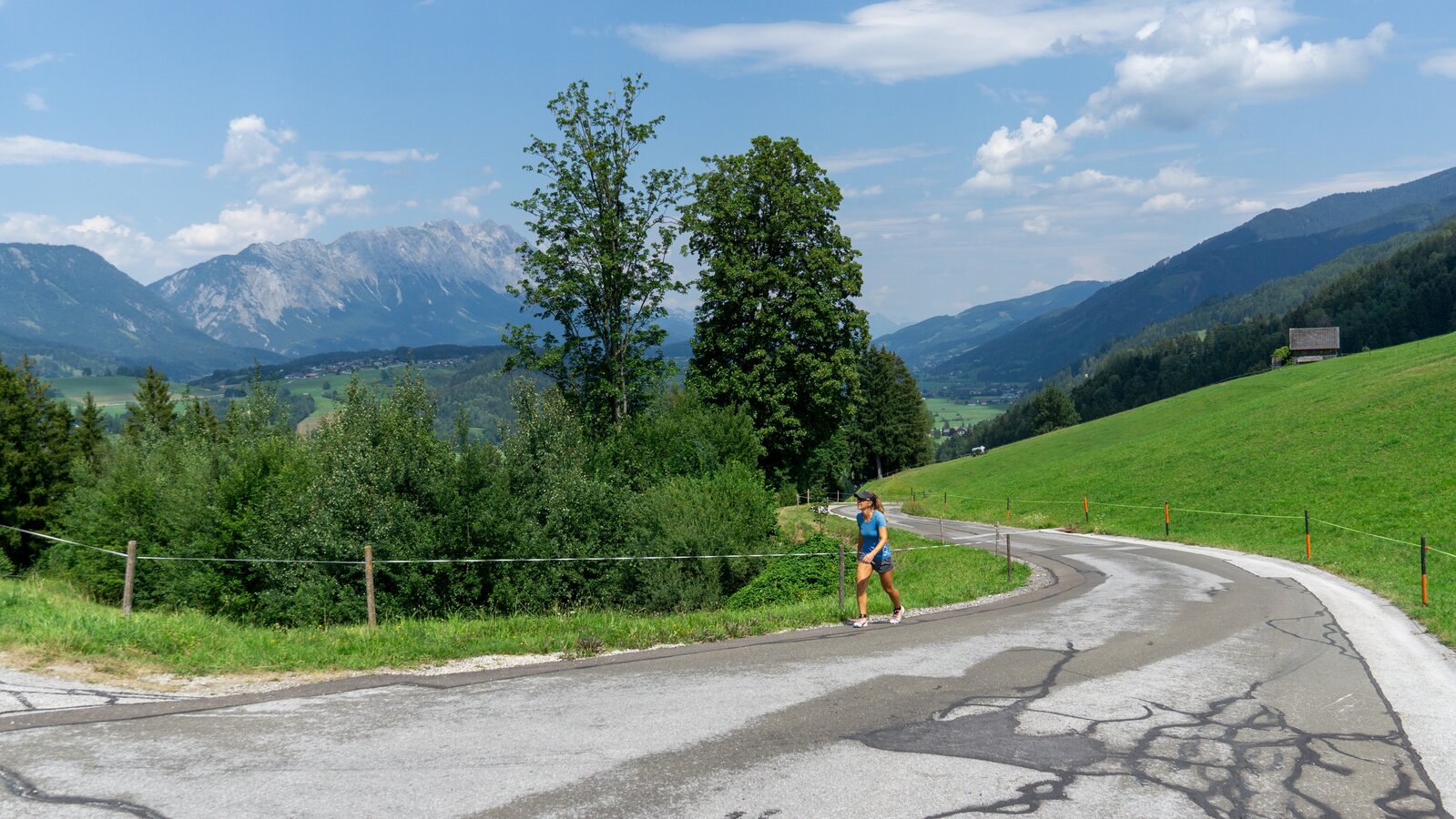
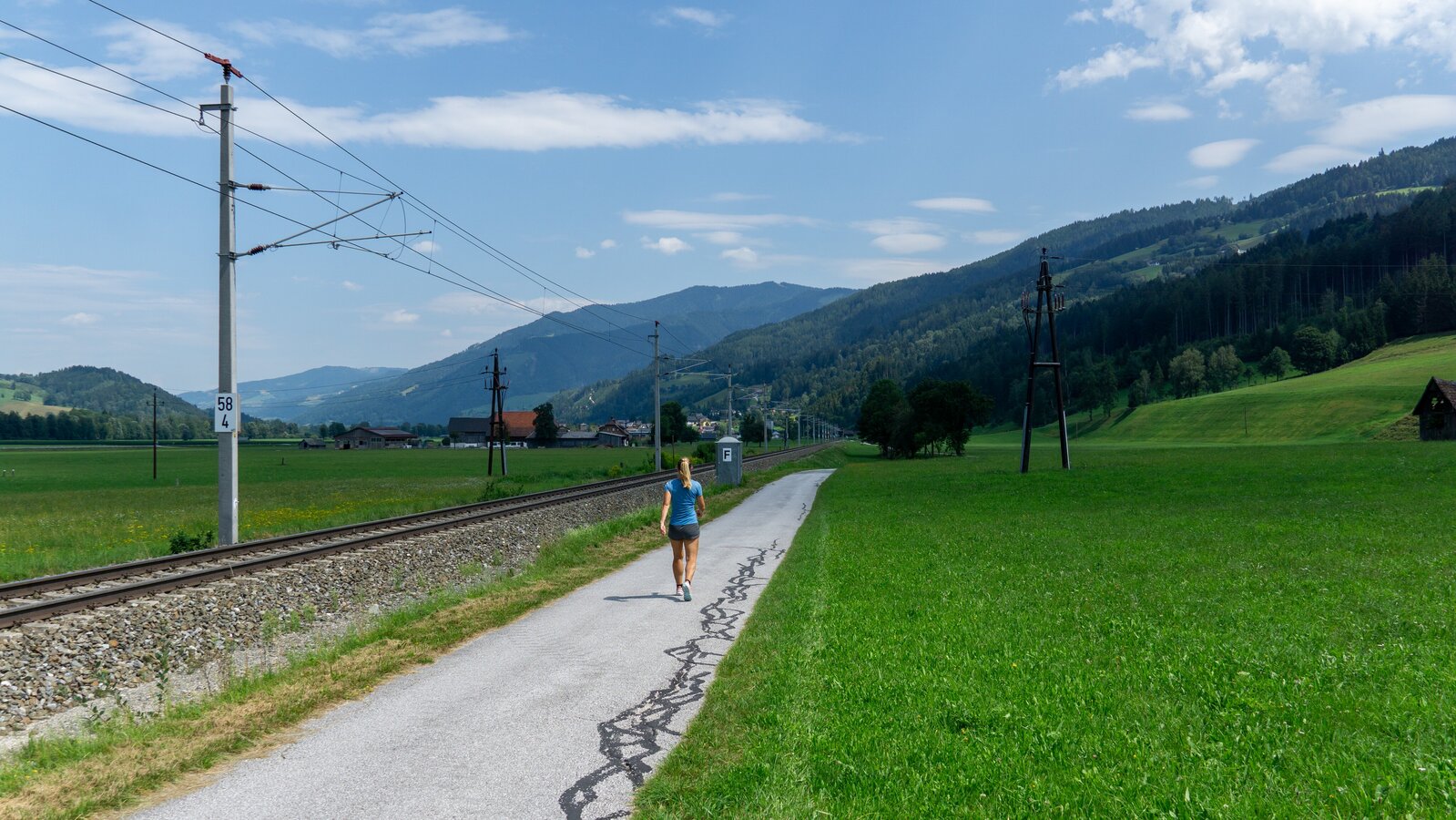
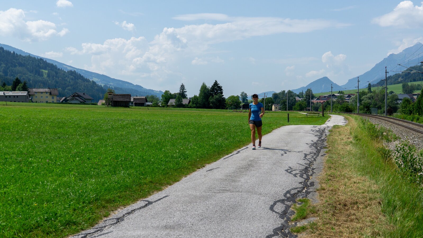
The tour starts in the centre of Pruggern. The route continues southwards through the village before leading slightly uphill into a small wooded area. Along extensive fields and with the impressive Dachstein in sight, the route leads back to Pruggern.
The tour
moderate
publicly accessible
Starting and end point
Ortsmitte Pruggern
Tour characteristics
Distance: 5.7 km
Fitness (3/6)
Information
Distance: 5.7 km
Duration:
1:30 h
Ascent: 160 m
Descent: 160 m
highest point: 827 m
Best season
Jan
Feb
Mar
Apr
May
Jun
Jul
Aug
Sep
Oct
Nov
Dec
Map, elevation profile & further information
The hike begins in the center of Pruggern and initially leads south through the village. Soon, the trail climbs gently into a small wooded area. Continuing along expansive fields, breathtaking views of the imposing Dachstein mountain unfold. Finally, the path leads back to Pruggern. This idyllic route combines nature with stunning vistas.
The trail follows mostly wide, well-maintained paths and blends sections of forest with open fields, making it varied and appealing. The Birgseiten Loop offers a wonderful opportunity to enjoy the region's natural beauty at a comfortable pace.
The trail follows mostly wide, well-maintained paths and blends sections of forest with open fields, making it varied and appealing. The Birgseiten Loop offers a wonderful opportunity to enjoy the region's natural beauty at a comfortable pace.
suitable footwear, weatherproof clothing