Ramsau am Dachstein
Buchenweg
Winter walking
Data:
Tour description
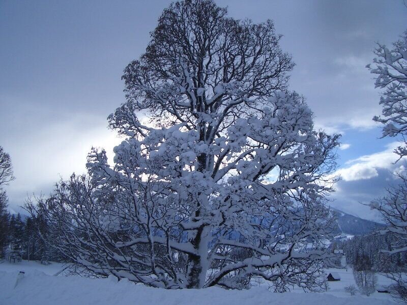
A beautiful beech forest path runs between Unterer and Oberer Leiten.
The tour
easy
publicly accessible
Starting point
Hotel Kielhuberhof
Destination
Reiterhof Brandstätter - Töltl
Tour characteristics
Distance: 6.92 km
Information
Distance: 6.9 km
Duration:
1:50 h
Ascent: 140 m
Descent: 144 m
highest point: 1083 m
Best season
Jan
Feb
Mar
Apr
May
Jun
Jul
Aug
Sep
Oct
Nov
Dec
Map, elevation profile & further information
Forest path between Untere Leiten (Hotel Kielhuberhof) and Reiterhof Brandstätter or circular route via Obere Leiten.
From the west: Tauernautobahn A 10 to the Ennstal junction - exit in the direction of Graz/Schladming - around 20 km on the Ennstal main road to Schladming - Ramsau junction From the north: Pyhrnautobahn in the direction of Liezen Ennstalbundesstraße to Schladming - Ramsau junctionRamsau Kulm Infobüro Ramsau am Dachstein
Ramsauer Verkehrsbetriebe timetable at www.rvb.at
Hiking clothing
You can find all tours collected and described in our Winter Leisure Map West. This is available free of charge from the Ramsau information office.


