Grimming-Donnersbachtal
Darkkarlake
Waterway
Data:

Tour description
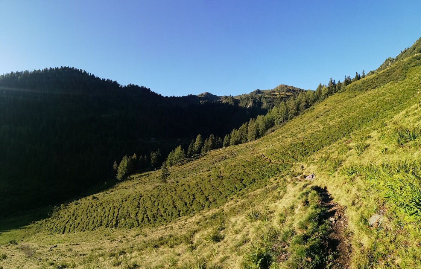
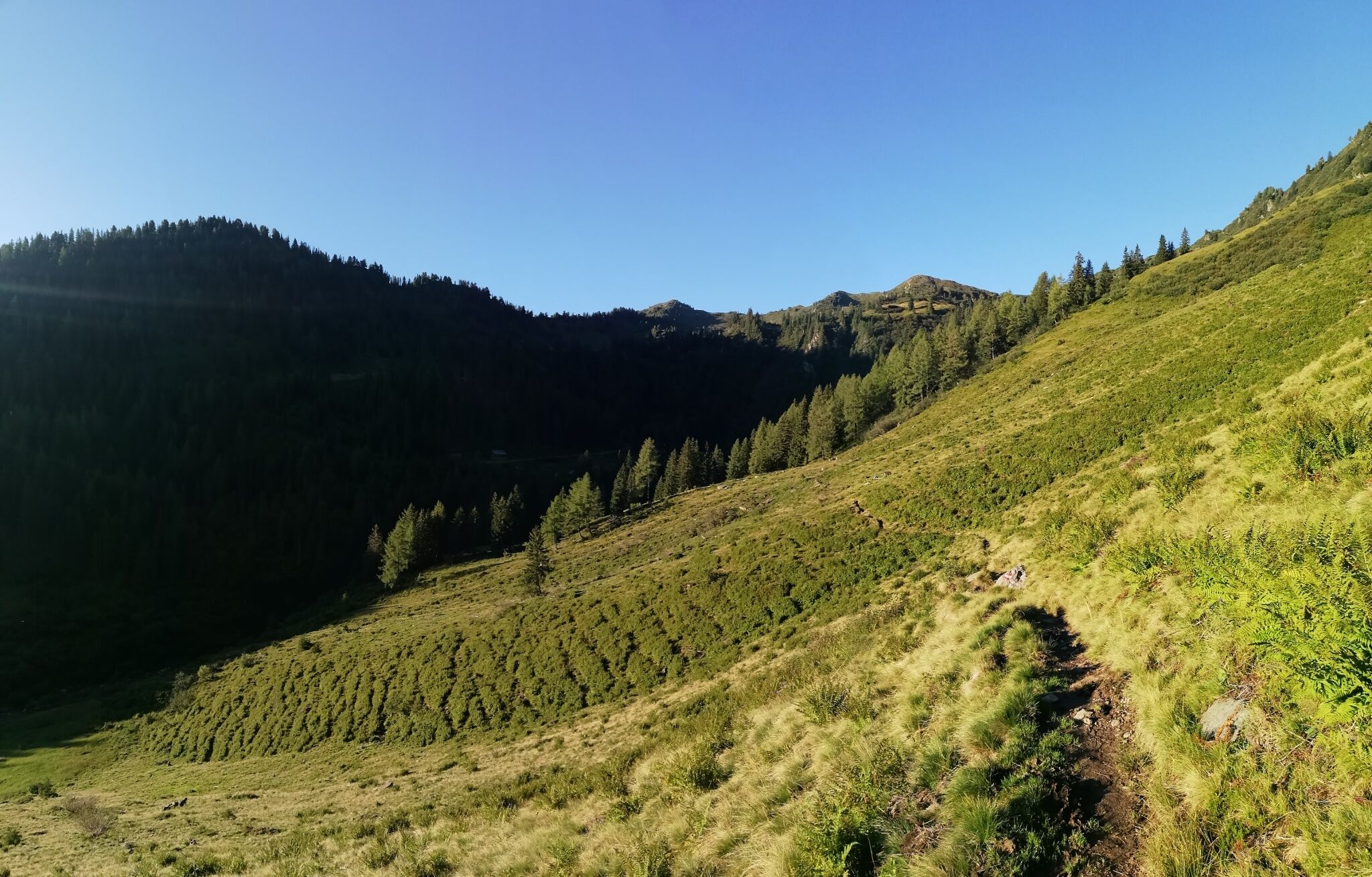
You can reach the picturesque lake above the Finsterkaralm on two paths. Via the marked path from Christerbauer or with the chairlift (attention to the operating hours!) to the middle station. Once you've arrived at the alpine pasture, you'll cross a steeper section of forest and then walk up to the mountain lake on fluffy, soft alpine pasture soil.
The tour
moderate
Starting point
Middelstation Riesneralm or Christerbauer
Destination
Middlestation Riesneralm or Christerbauer
Tour characteristics
Distance: 5.8 km
Fitness (3/6)
Information
Distance: 5.8 km
Duration:
2:30 h
Ascent: 380 m
Descent: 380 m
highest point: 1808 m
Best season
Jan
Feb
Mar
Apr
May
Jun
Jul
Aug
Sep
Oct
Nov
Dec
Map, elevation profile & further information
First you have the choice: comfortably with the chairlift to the middle station and left away, following the markings over a trail in 45 min or from the beginning sporty on foot in 2.5 hours via Christerbauer up through the forest to Finsterkaralm. From there it's initially over a steeper forest section and further over the alpine pasture to the mountain lake. Peaceful and dreamy it lies before you. Embedded in the magnificent mountain world around. Now you just have to find a nice spot to rest and enjoy and you won't want to leave. Or do you? The way back is via the same path.
From the Ennstalbundesstraße (B320) turn off at the Trautenfels junction in the direction of Irdning, Donnersbach, Donnersbachwald. Through the village of Donnersbach and another 12 km to Donnersbachwald to the valley station Riesneralm and 1 kilometer further to Christerbauer.Free Parking at the bottom station or parking Christerbauer.
- Plan your tour in advance, taking into account walking time, route length, altitude difference, danger spots and weather forecast.
- Together is much more beautiful and at the same time safer in the mountains. Do not go alone, if possible, and adapt the tour to the ability of your group.
- Let them know where you are going and when you want to be back.
- Also sign hut or summit books.
- Turn back in good time if the weather deteriorates. If you get caught in a thunderstorm, do not stay on the summit or ridge and stay away from individual trees. Wait out the storm, if possible in a crouching position.
- Stay on the marked trails and remember to close pasture fences again.
- Getting up the trail is only half the battle. Stay alert, especially on the descents, to make it back to the valley safely.
- In case of emergency, keep calm and call the mountain rescue on 140. If you have no reception, take out the sim card and dial 112.
- If you encounter cows: It is best to pass above the herd with at least 50 meters distance. Stay calm, don't make any frantic movements and don't run away. Do not imitate cow sounds and do not try to pet the animals. A stick and loud shouting can often make the animals turn back in an emergency.
- If you are a dog owner: Clarify before the hike if you have to cross a pasture. Keep your dog on a leash and make sure he stays calm. If a cow attacks, let the dog off the leash immediately. Never pick him up to defend him.
Widehiking to the summit Bärneck, 1 hour from the darklake.Tourism information: www.schladming-dachstein.at
Schladming-Dachstein Tourist Office
Ramsauerstraße 756
8970 Schladming
T: +43 3687 23310
info@schladming-dachstein.at
Schladming-Dachstein Tourist Office
Ramsauerstraße 756
8970 Schladming
T: +43 3687 23310
info@schladming-dachstein.at
- SCHLADMING-DACHSTEIN Hiking EAST. Available free of charge from tourist offices and accommodation providers.
- SCHLADMING-DACHSTEIN Hiking Map 1:50,000


