Haus-Aich

Gumpenberg loop via Dirtler
Tour description

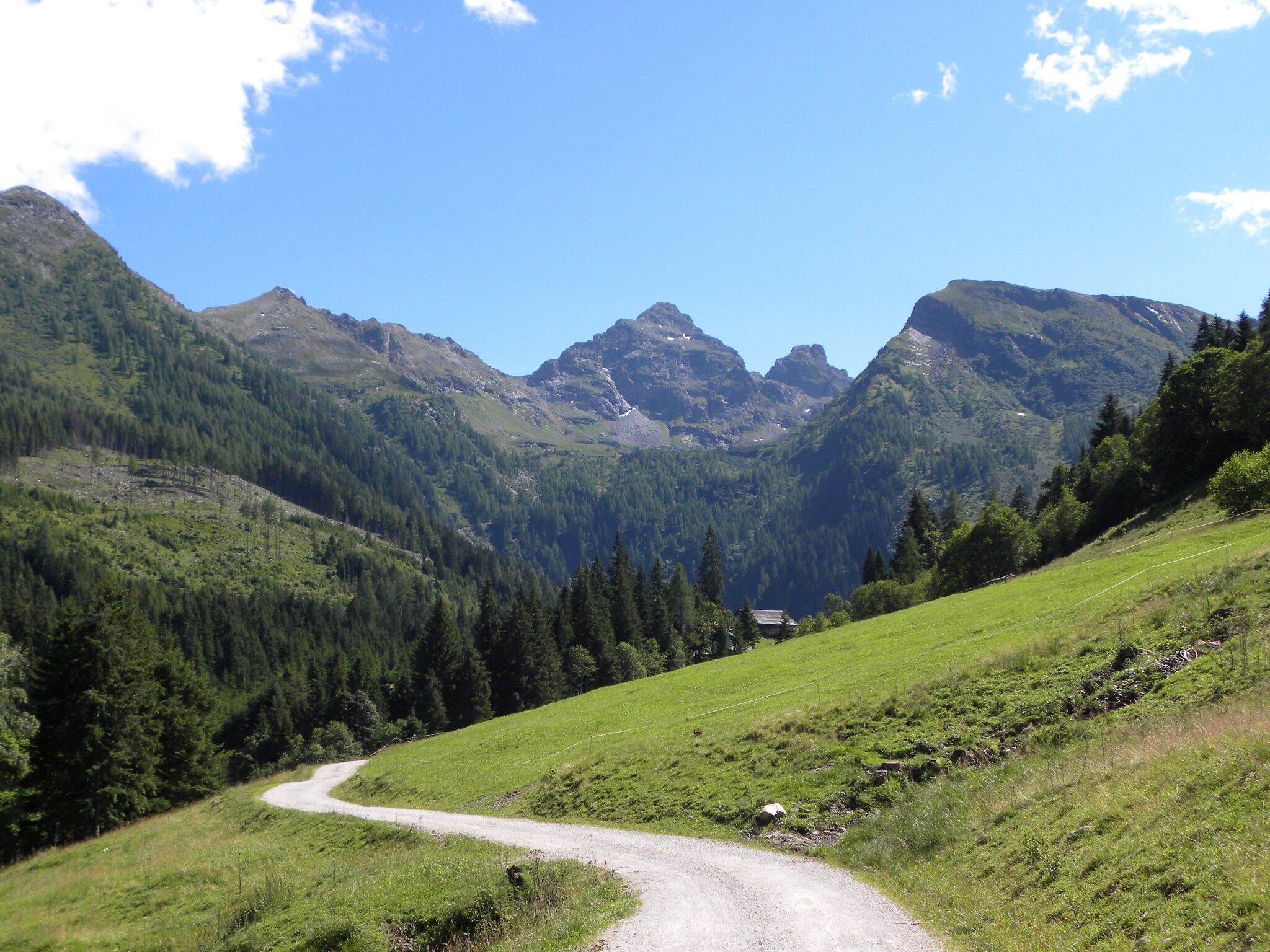
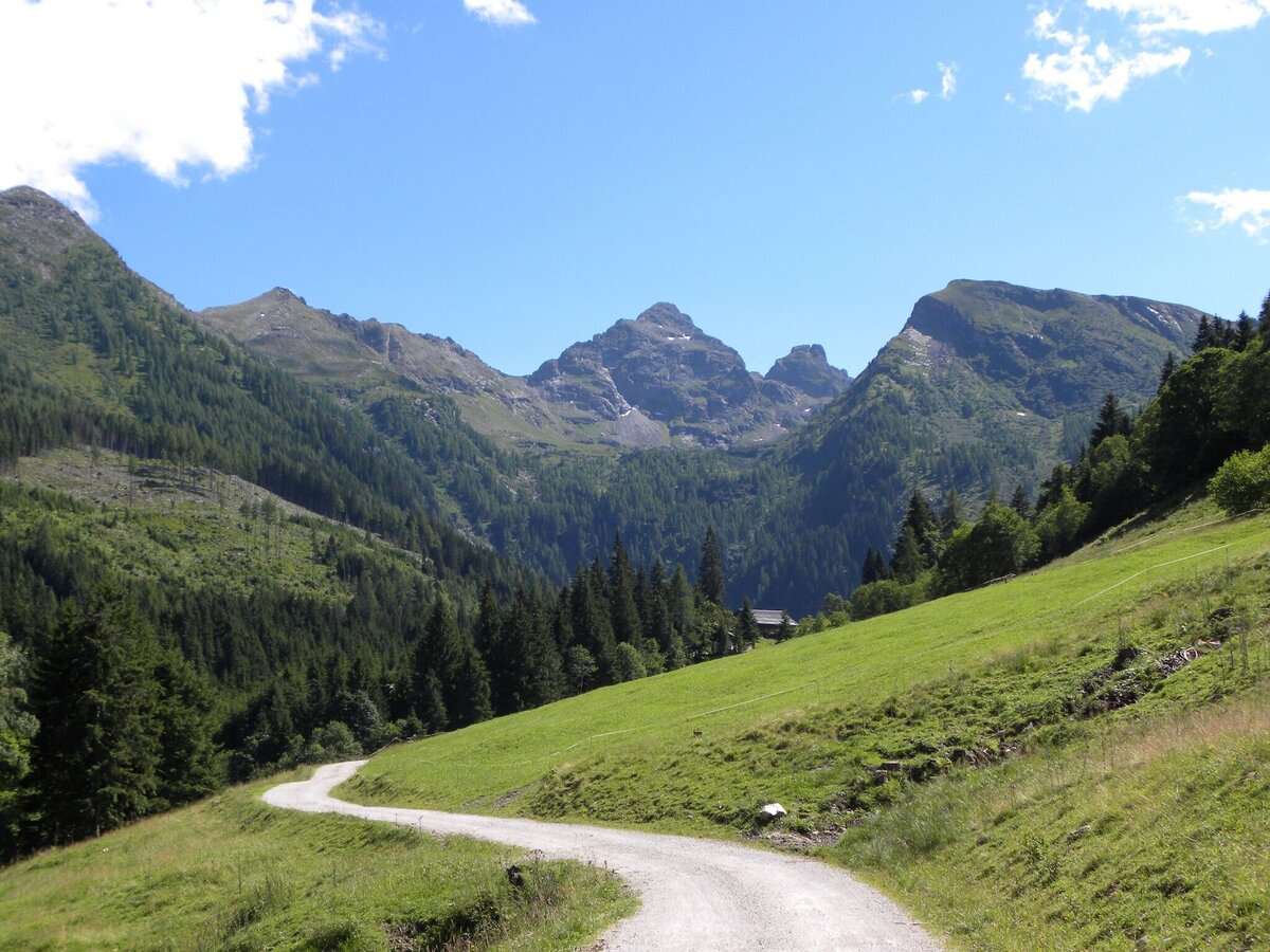
This medium-difficulty hiking trail at about 1,000 m above sea level in the Schladminger Tauern is very suitable for families. The circular path leads from the village of Haus im Ennstal through native flora to the Gumpenberg. A short detour into the Gumpental should not be missed, as this beautiful valley head offers a magnificent view of the Höchstein (2,543 m).

The tour

moderate
publicly accessible
Starting and end point Schlossplatz / Haus im Ennstal
Tour characteristics
Distance: 10.7 km
Fitness (4/6)
Skills (3/6)
Information
Distance: 10.7 km
Duration: 3:30 h
Ascent: 540 m
Descent: 540 m
highest point: 1231 m
Best season
Jan
Feb
Mar
Apr
May
Jun
Jul
Aug
Sep
Oct
Nov
Dec

Map, elevation profile & further information

From the Schlossplatz (760 m) in Haus im Ennstal, our hike starts in a southerly direction. We follow Junghannstraße until we turn off in the direction of the school. Via the Psaltersteig we head towards the valley station of the Schladminger Tauern cable car. There we follow the Hauserbergstraße towards Oste. We take the road to the Kornbergerhof and continue uphill to marker 3 to the Knapplhof/Hotel Höflehner (1,117 m, game reserve) on the Gumpenberg. At the Moralmweg junction and path no. 100 or 3, we follow path no. 100 westwards. Continue past the Scharlingerhütte to the Hauserberg in the direction of the Dirtlerhof. There we come to the Hauserbergstraße, which we follow to the starting point of our hike.

This hiking trail offers everything from asphalt roads to forest and gravel roads as well as forest and meadow paths.
Via B320 until Haus im EnnstalSeveral parking lots in the town Haus im Ennstal or car park in the center of house
ÖBB buses (bus line 900)

Good shoes; sticks

Be attentive at the Höflehner game reserve, it might be that you see the impressive stags and deer.

Safety on the mountainside: changes in the weather, sudden fall in temperature, thunder storms, wind, fog and snow fields are all objective dangers and require the correct behaviour whilst underway. the landlords of the huts are all very knowledgeable about the mountains and can give you good tips about the weather and the routes. Insufficient equipment, exaggerated opinion of ones capabilities, frivolousness, poor health condition and a false evaluation of the situation can lead to a critical situation. In thunder storms: summits, crest-sites and safety rope aids are to be avoided.

If something should happen call following emergency numbers:No. 140 - the number for all Alpine Emergencies in all of AustriaNo. 112 - European emergency call GSM emergency-call-service

Here you will find all hiking maps and important brochures to download.

tour.detail.route-facilities

Wheather predicition

today
15.09.2026
Mountain 16 °C
Valley 23 °C
Precipitation
Probability
0 %
Amount
0 l/m²
Wind speed
West
5 km / h
Sun
Sun hours
9.9 h
Sunrise
06:42 o clock
Sunset
19:18 o clock

Foggy or hazy to start, then clearing up quickly, and most of the day will be sunny.

tomorrow
16.09.2026
Mountain 17 °C
Valley 23 °C
Precipitation
Probability
85 %
Amount
23.3 l/m²
Wind speed
West
10 km / h
Sun
Sun hours
9.5 h
Sunrise
06:43 o clock
Sunset
19:15 o clock

A sunny day, but thunderstorms will be possible towards evening.

day after tomorrow
17.09.2026
Mountain 8 °C
Valley 17 °C
Precipitation
Probability
85 %
Amount
7.4 l/m²
Wind speed
Südwest
10 km / h
Sun
Sun hours
0.1 h
Sunrise
06:45 o clock
Sunset
19:13 o clock

Persistent rain, which will weaken gradually in the afternoon.

Tours nearby