Naturpark Sölktäler
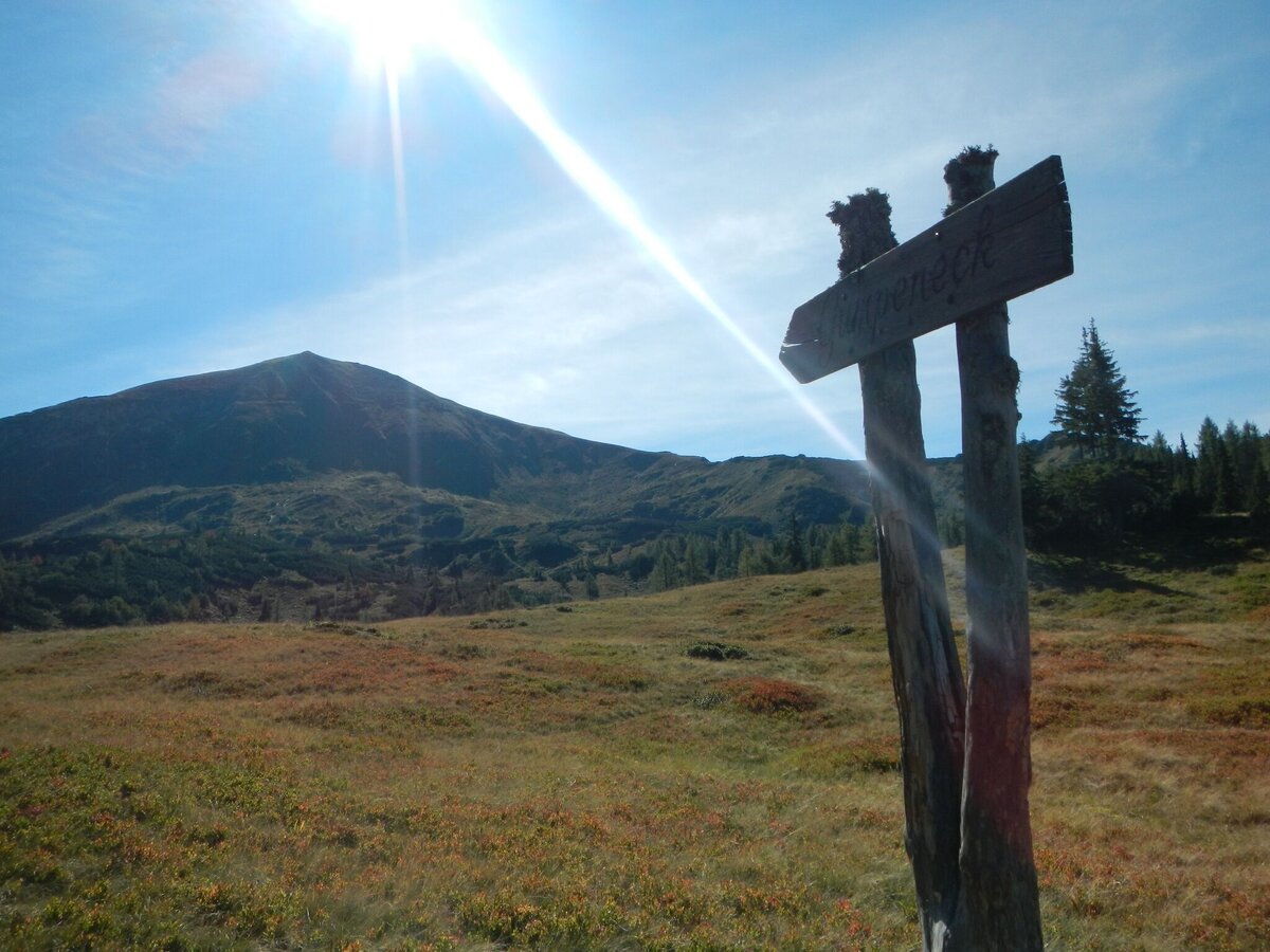
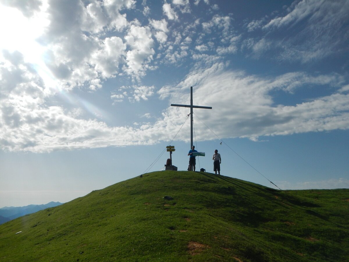
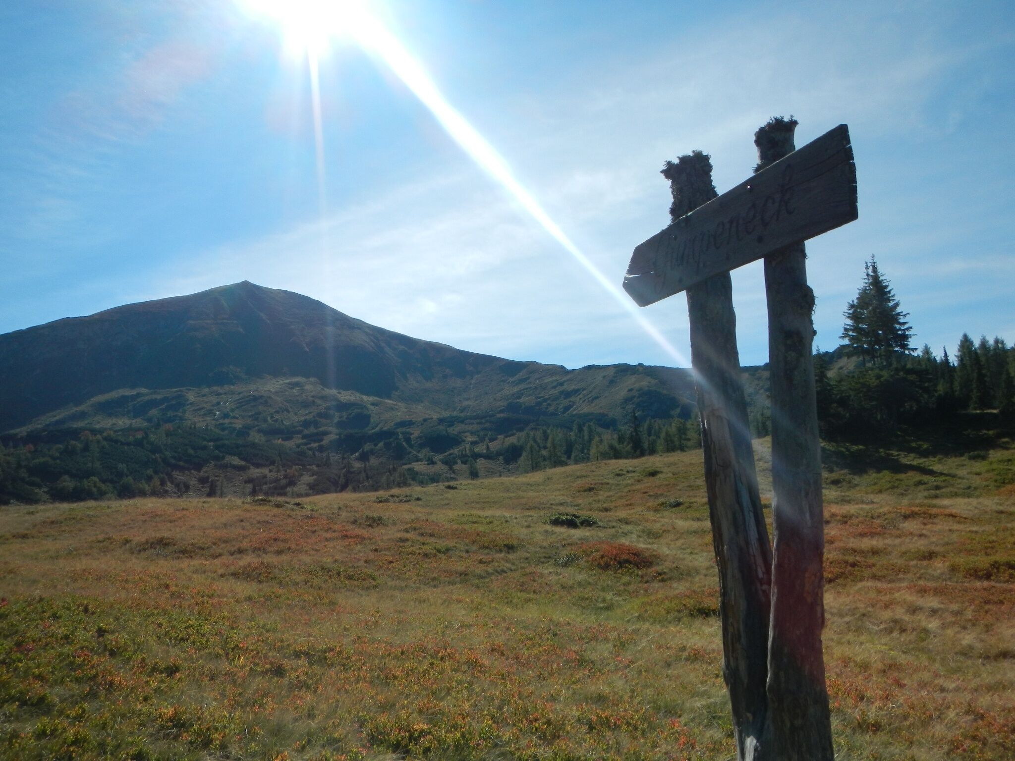
Gumpeneck (2.226 m)
Hiking trail
Data:

Tour description
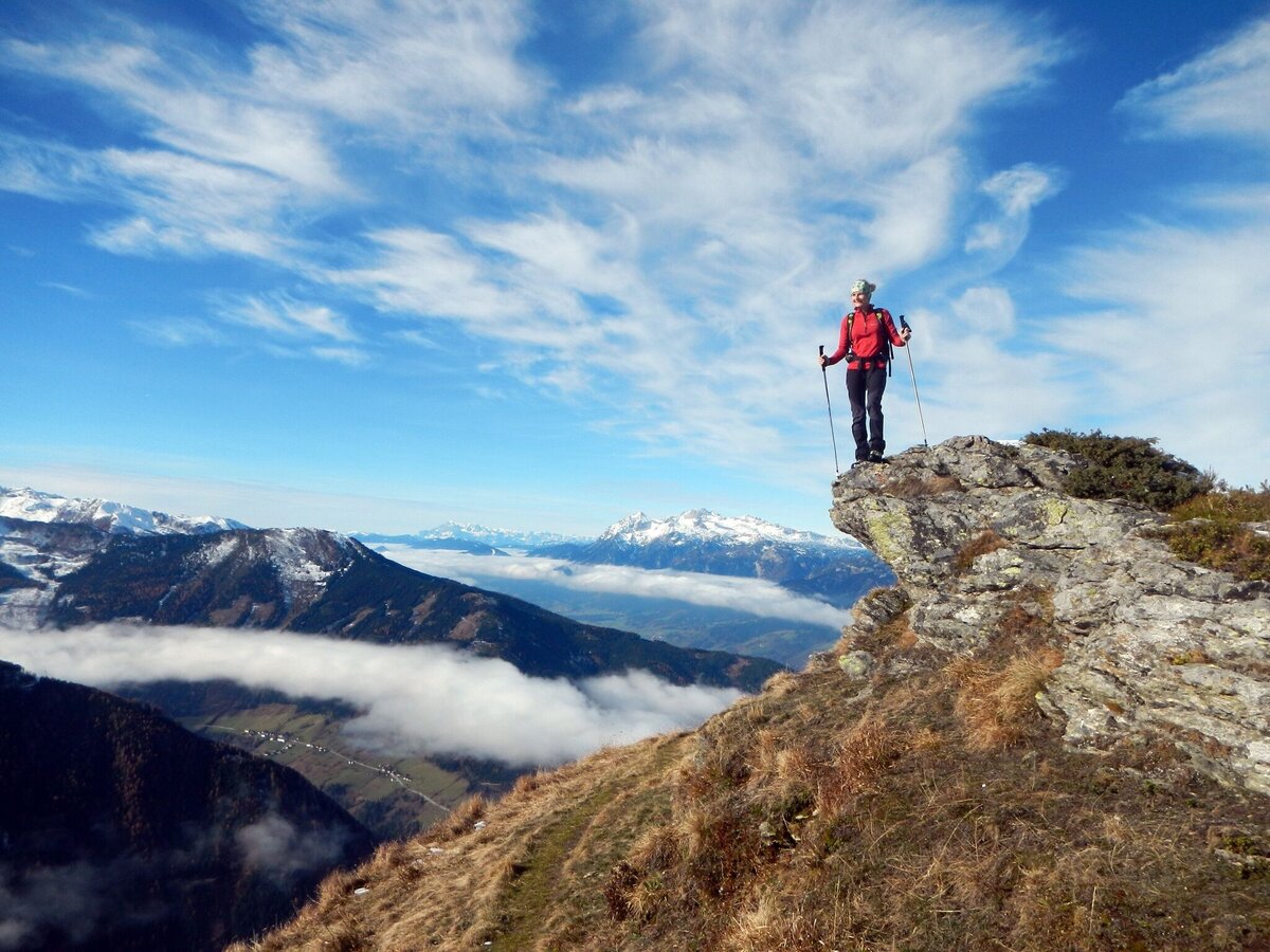
The tour
moderate
Starting point
Farm Koller
Destination
Summit Gumpeneck
Tour characteristics
Distance: 12 km
Fitness (3/6)
Skills (3/6)
Information
Distance: 12 km
Duration:
6:00 h
Ascent: 1130 m
Descent: 1130 m
highest point: 2226 m
Best season
Jan
Feb
Mar
Apr
May
Jun
Jul
Aug
Sep
Oct
Nov
Dec
Map, elevation profile & further information
Starting point for this hike is Großsölk - the estate "Koller". From there a beautiful forest path leads to the "Schönwetterhütte", which is open during the summer. A steep slope leads to the "Schleinhütte", a mountain pasture built of Sölk marble. The path continues through a large cirque with some frog pools. Over a long ridge one reaches the summit after approx. 3.5 hours of ascent. Via the same path we walk back to the farm Koller.
Alternatively, after the Schleinhütte, you can keep right and climb up Blockfeldspitz to Gumpeneck.
In the area of the Schwarzensee you can meet free-roaming grazing cattle. Caution is required, especially with dogs.
Weather changes, rapid drop in temperature, thunderstorms, wind, fog and snow fields are objective dangers and require the right behavior on the way. Hut keepers are experienced mountain connoisseurs, they can give good tips on the weather and the course of the trail. Lack of equipment, overestimation of one's own abilities, carelessness, poor physical condition and a wrong assessment can lead to critical situations. During thunderstorms: avoid peaks, ridges and rope belays at all costs.
GPS data and orientation aids: Available GPS data - as well as hiking maps - are only an orientation aid, since they can never represent an exact image or the richness of detail of a path in reality. Especially in the case of danger spots, it must therefore always be decided in the end on the basis of the conditions on site whether and how the further course of the path looks like.
In case of emergency, please dial the following emergency numbers:
No. 140 - for alpine emergencies - Austria-wide
No. 112 - Euro emergency call GSM emergency call service
Take rainproof and warm clothes and enough water, possibly also a snack, wear shoes with non-slip profile soles. A first aid kit should also be in your backpack.
SummitLynx - Your digital summit and hut book - available worldwide and always with you!Mountain guides from the region: www.schladming-dachstein.at/mountainguides
For more information, please contact the Schladming Dachstein Tourist Office - Sölktäler Nature Park Information Center:
Phone: +43 3687 23310 501
mailto:info@schladming-dachstein.at
Stein an der Enns 107
8961 Sölk
The brochure “Schladming-Dachstein Hiking” is available in all information offices in the region.


