Hemma Pilgerweg Alpine Variant Planneralm - Oberwölz
Tour description
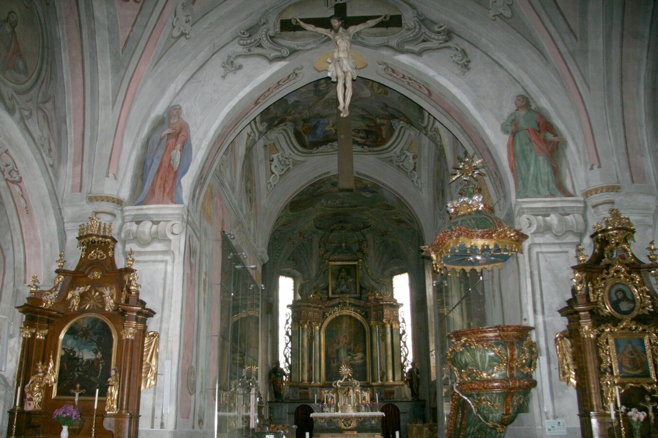
St. Hemma was born around 980 as Countess of Friesach-Zeltschach; her charity and patronage made her well-known among the population. With her wealth, she also founded the Benedictine monasteries of Gurk and Admont. Today's stage of this alpine variant of the Hemma Pilgrimage Trail is high-alpine, as the program includes the crossing of the Niedere Tauern.
The tour
Map, elevation profile & further information
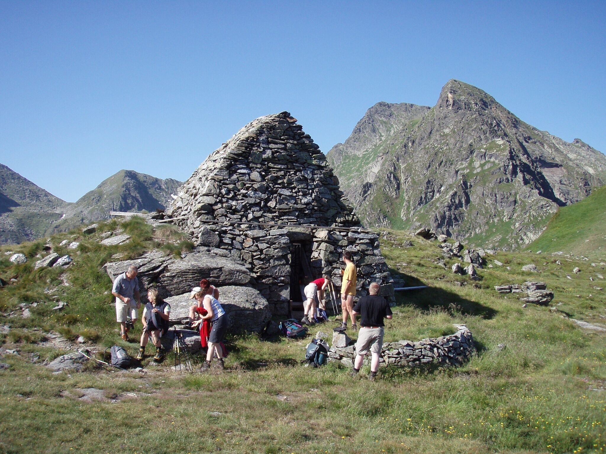
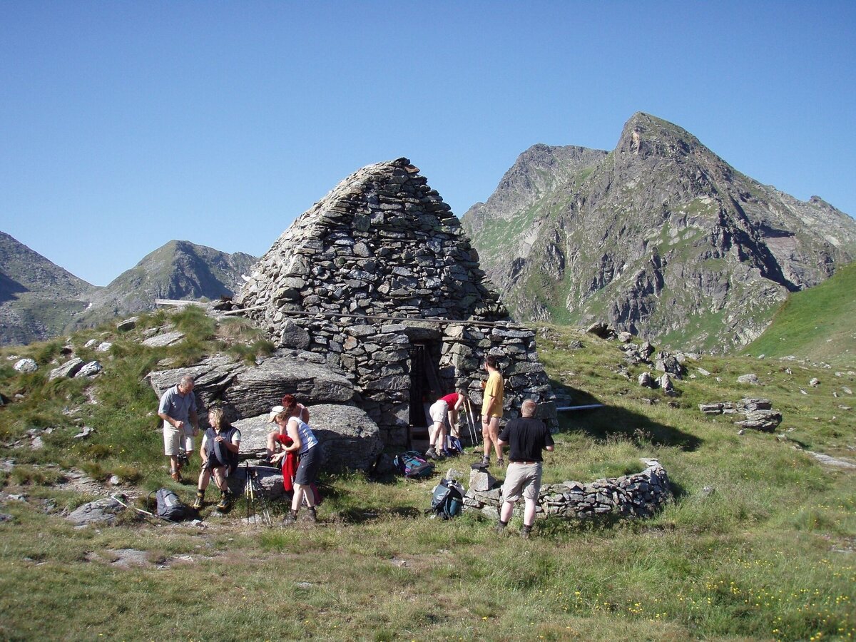
From the Planneralm, the trail leads uphill to the Plientensattel, where we can enjoy the first wonderful views. The route continues downhill via the Stalla Alm and the Lärchkar Alm to the holiday village of Hinterwald near Donnersbachwald. Initially gentle, but then increasingly steep, the path leads up to the Glattjoch at almost 2,000 metres, a beautiful mountain pass in the heart of the Tauern mountains leading into the Murtal valley. From here, we hike downhill again to Oberwölz, a beautiful historic small town with an incredible atmosphere.
Detailed information on how to get there can be found here.
Numerous parking spaces are available at the Planneralm.
ÖBB www.oebb.at or Verbundlinie Steiermark www.busbahnbim.at
With the BusBahnBim App from Verbundlinie, timetable information is easier than ever: all connections by bus, train, and tram in Austria can be queried by entering locations and/or addresses, stops, or important points of interest. The app is available as a free app for smartphones (Android, iOS) – on Google Play and in the App Store
Mountain rescue emergency number: 140
Tip for emergency reporting – provide answers to the six W-questions: What happened? How many injured? Where did the accident happen (possibly GPS coordinates)? Who is reporting (callback number)? When did the accident happen? Weather at the accident site?
Packing your backpack correctly makes everything easier: pack heavy items first. The water bottle should always be within easy reach in a side pocket. All things that are needed frequently, such as sunglasses, camera or hiking map, belong on top. Emergency equipment including blister plasters belongs in every backpack and dressing according to the "onion system" is always recommended!
Steiermark Tourism, Tel. +43 316 40030, www.steiermark.com
TV Region Murau, Tel. +43 3532 2720, www.regionmurau.at
Monika Gschwandner-Elkins: Hemma Pilgerwege, ARGE Hemma Pilgerweg, 9313 St. Georgen am Längsee, Freytag&Berndt und Artaria KG, 2008