Haus-Aich

Hike through Notgasse canyon
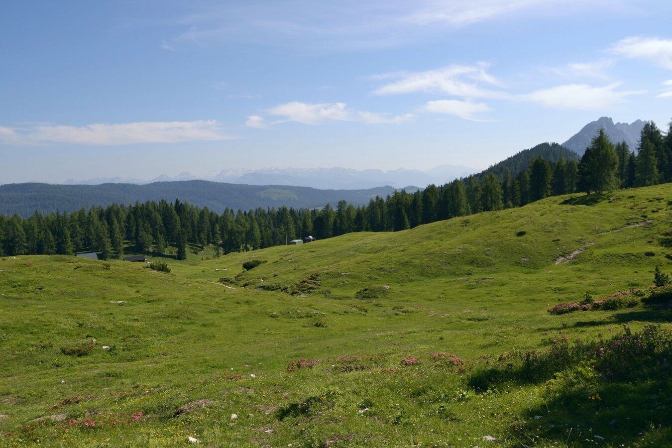
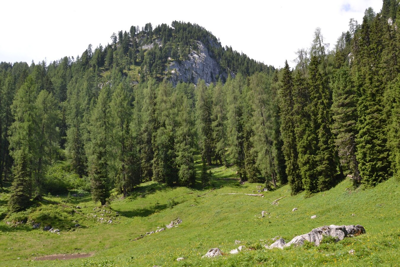
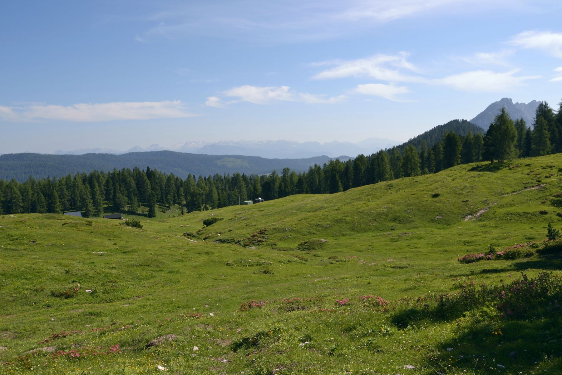
Alpine pasture landscape near the Notgassen-Schlucht gorge
Alpine meadow at the mountain forest
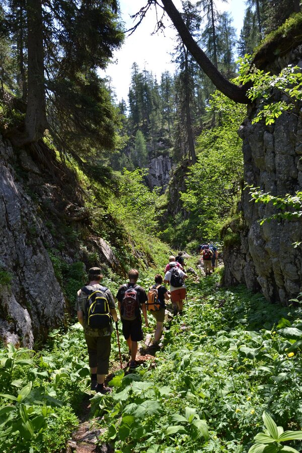
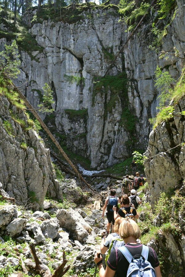
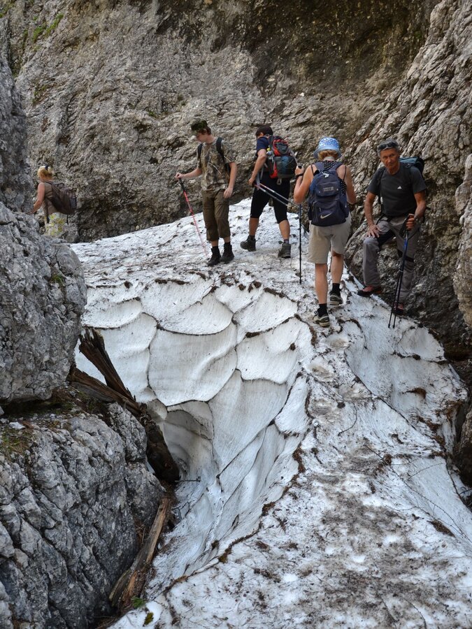
Hike through the Notgassen gorge
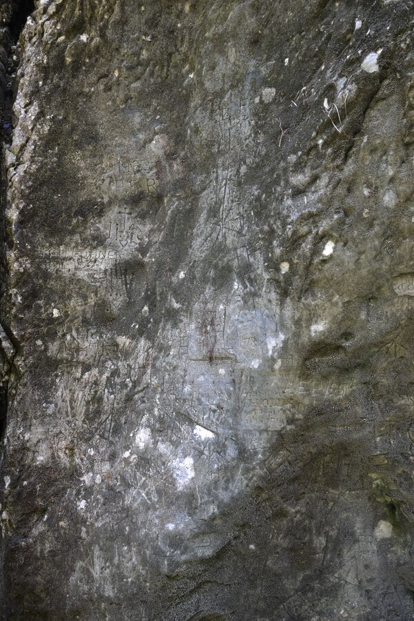
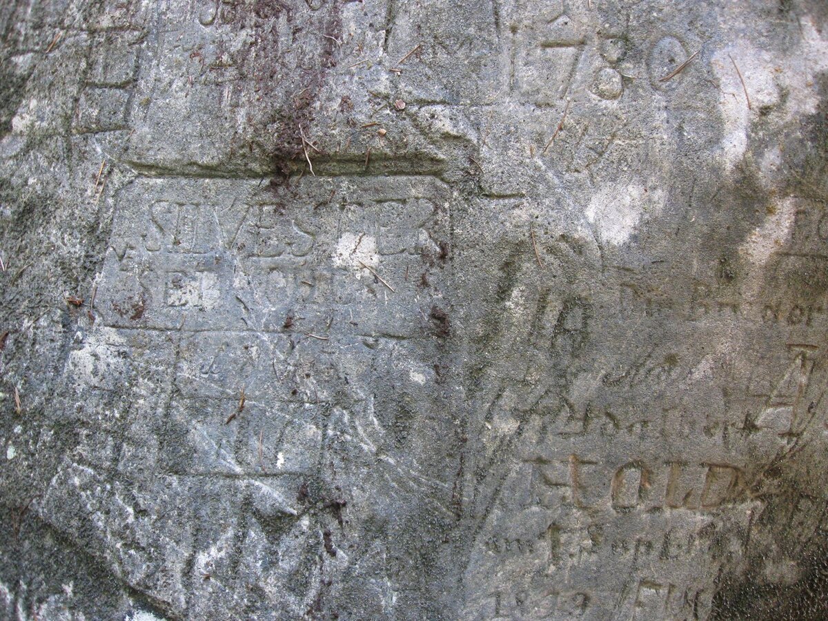
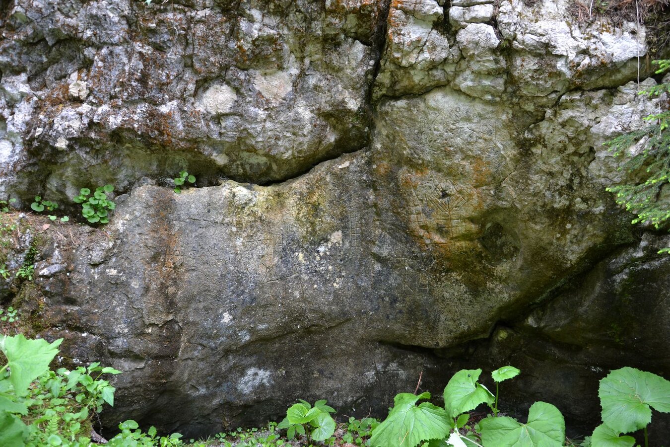
Rock carvings in the Notgasse
Historic Rock Carvings
Rock carvings in the Notgasse
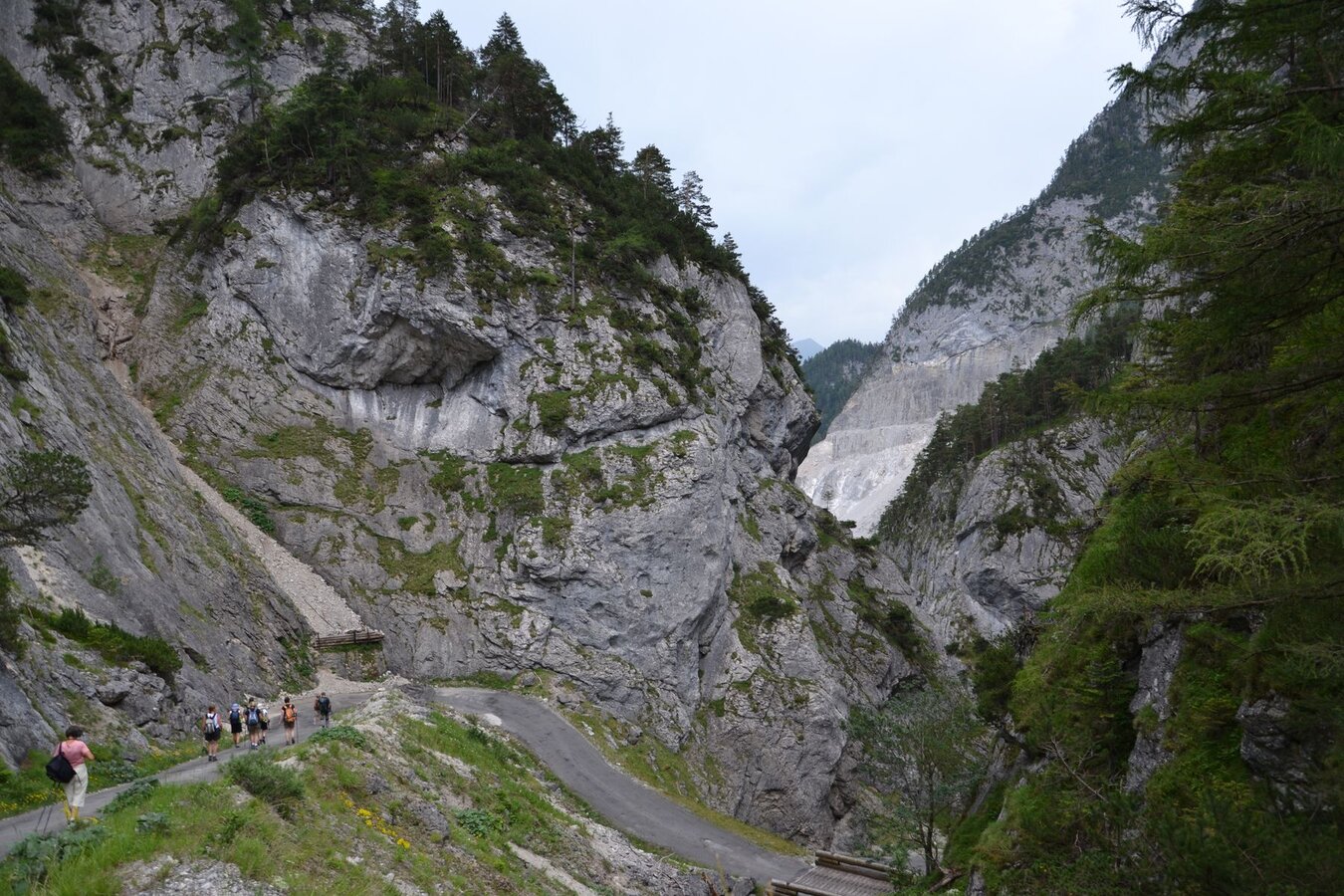
Hiking trail in the Notgassen gorge
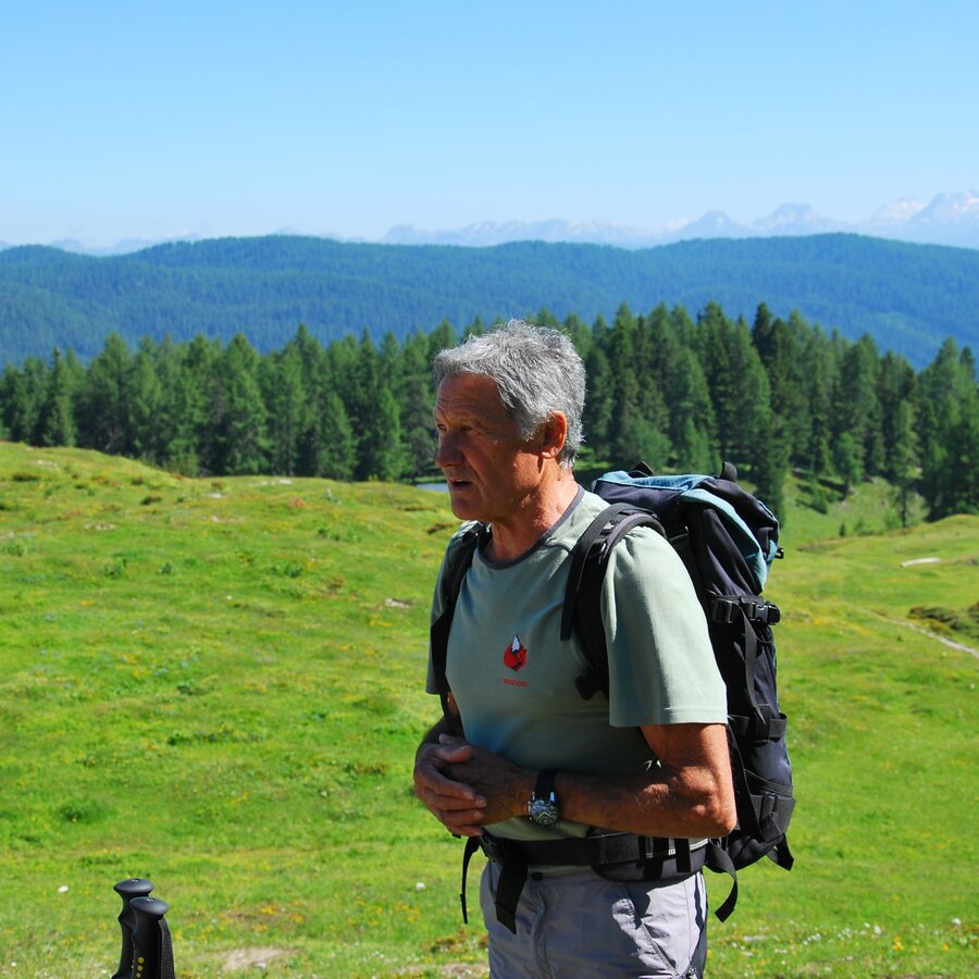
Mountain Guide Roman
Hike through the Notgassen gorge
Hiking trail in the Notgassen gorge
Hiking trail in the Öfenschlucht

Tour description

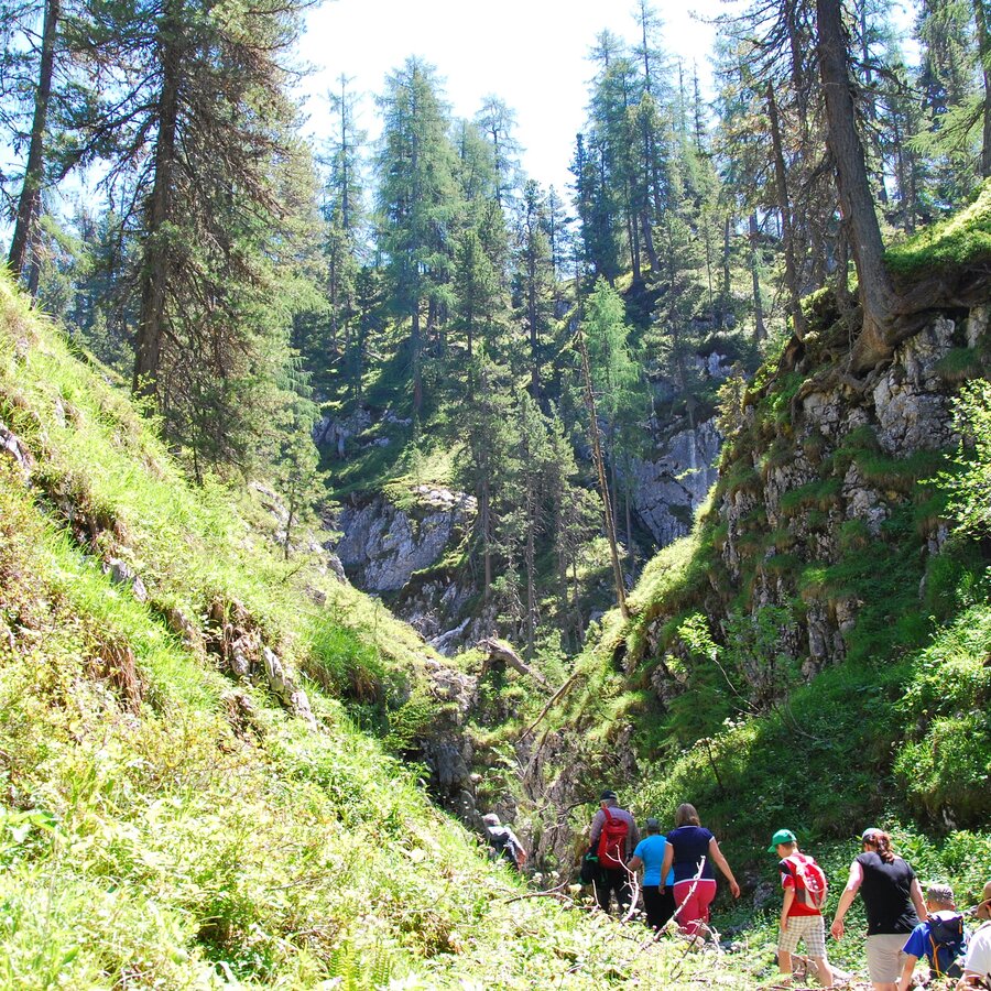
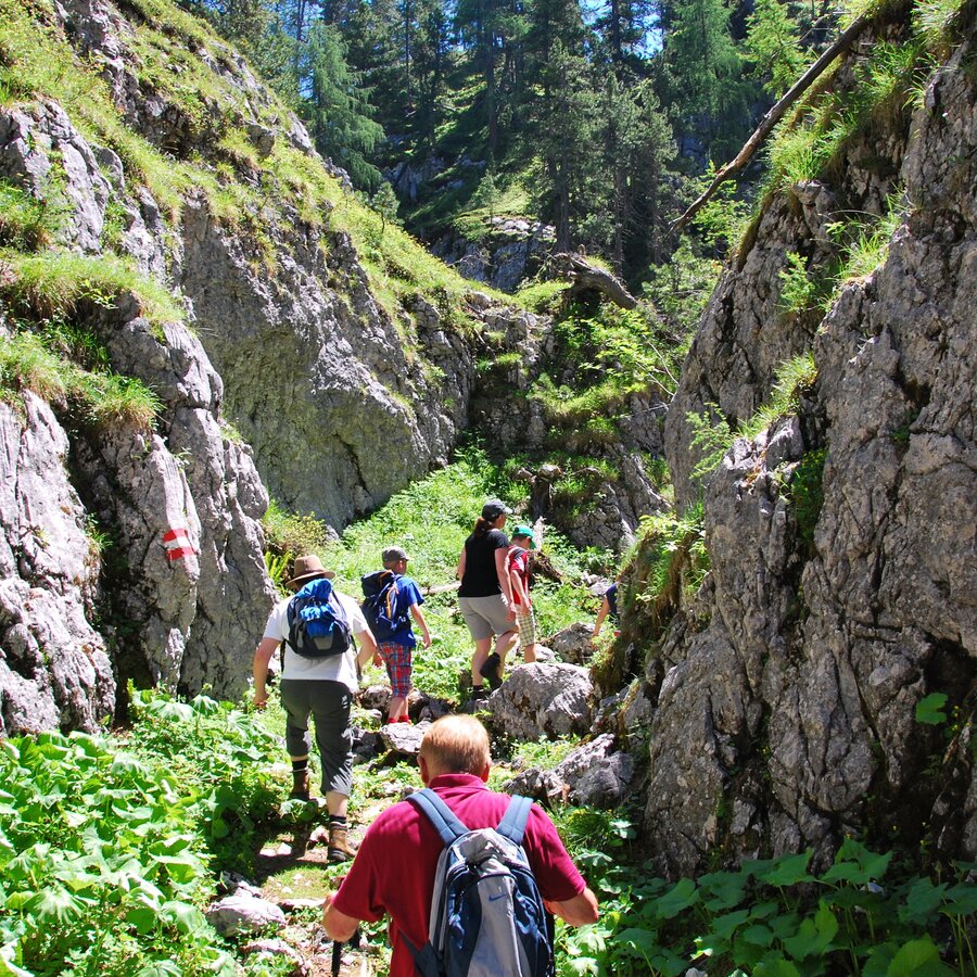
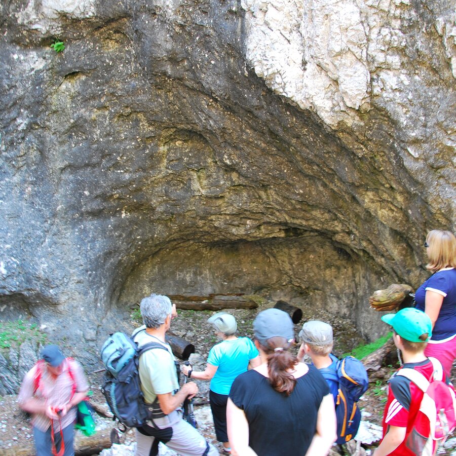
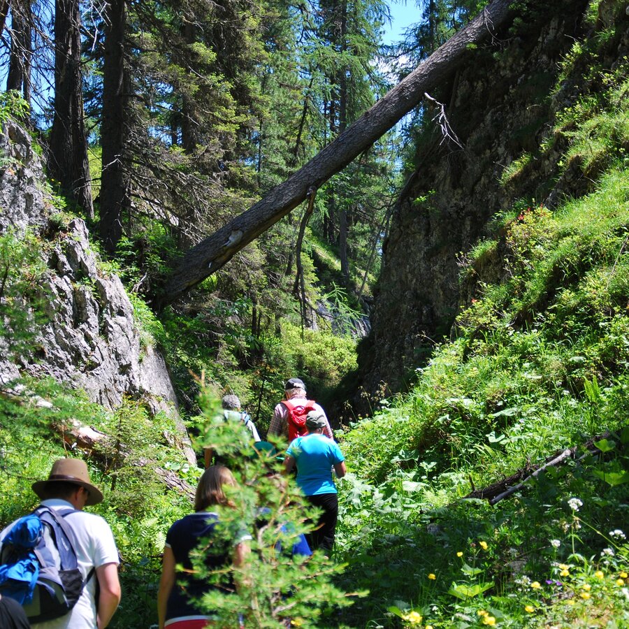
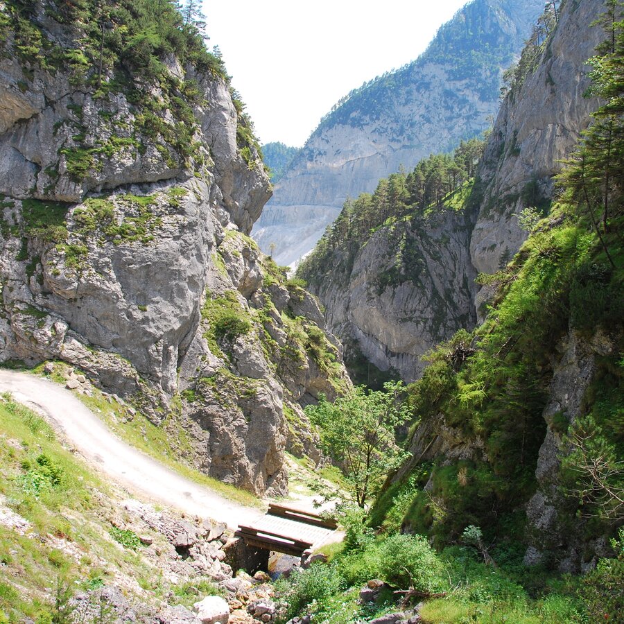
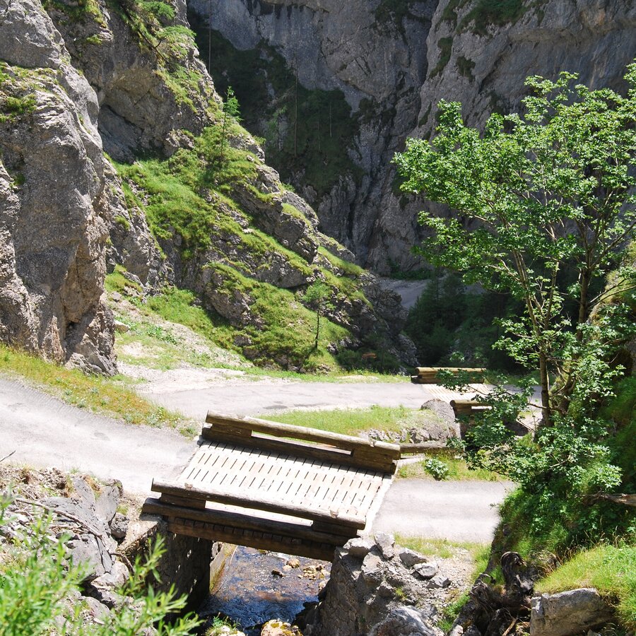
The Notgasse at the foot of the Stoderzinken represents a path connection from Gröbming to the higher mountain pastures. The path through a canyon, which is only accessible to pedestrians, was used by alpine people, mule pickers and charcoal burning workers. The impressive gorge with rock walls up to 60 meters high and the historical rock carvings offer the visitor an aura of mystery and mystique.

The tourist association's weekly program includes guided hikes through the Notgasse in the UNESCO World Heritage Site.

The tour

moderate
publicly accessible
Starting point Parking area at the Stoderzinken (a bus brings you from the tourist office Gröbmingerland to the starting point)
Destination Parking area Öfen/Lend
Tour characteristics
Distance: 11.4 km
Fitness (3/6)
Skills (3/6)
Information
Distance: 11.4 km
Duration: 5:00 h
Ascent: 100 m
Descent: 1000 m
highest point: 1829 m
Best season
Jan
Feb
Mar
Apr
May
Jun
Jul
Aug
Sep
Oct
Nov
Dec

Map, elevation profile & further information

When we reach the forest road, we keep left and hike via the Brandalm to the Rahnstube and further to the Seeboden and through the romantic “ovens” (Gröbminger Öfen) to the parking area at the Kneipp facility Lend.

Walking time from the end of the gorge: 2 hours.

Towards Gröbming, towards Stoderstraße, Kirchplatz 15
A hiking guide brings you to the parking area.
By bus you come to the bus station Gröbming and from there you walk approx. 5 minutes to the tourist office.

We recommend walking this tour not without good maps and a guide. The way is bad and rocky and even if you have detailed information how to find the the pictographs, you can hardly find them.

Safe footwear

Tour at your own risk! No liability will be accepted for any given or occurring alpine driving (weather, etc.).

Sections of this hiking trail are part of the northern route of the long-distance hiking trail "From glacier to wine".

Schladming-Dachstein summer leisure card "Mitte", available in the information offices of the Schladming-Dachstein region.

Along the route

Wheather predicition

today
17.10.2026
Mountain 11 °C
Valley 16 °C
Snow
Mountain
0 cm
Valley
0 cm
Wind speed
Nordwest
10 km / h
Precipitation
Probability
15 %
Amount
0.2 l/m²
Sun
Sun hours
3.6 h
Sunrise
07:26 o clock
Sunset
18:14 o clock

Dry and partly sunny throughout the day, with cloudy periods from time to time.

tomorrow
18.10.2026
Mountain 11 °C
Valley 17 °C
Snow
Mountain
0 cm
Valley
0 cm
Wind speed
Süd
5 km / h
Precipitation
Probability
0 %
Amount
0 l/m²
Sun
Sun hours
5.9 h
Sunrise
07:28 o clock
Sunset
18:12 o clock

Dry and partly sunny throughout the day, with cloudy periods from time to time.

day after tomorrow
19.10.2026
Mountain 13 °C
Valley 16 °C
Snow
Mountain
0 cm
Valley
0 cm
Wind speed
Süd
5 km / h
Precipitation
Probability
5 %
Amount
0 l/m²
Sun
Sun hours
9.2 h
Sunrise
07:29 o clock
Sunset
18:10 o clock

Dry and sunny throughout the day with hardly any clouds.

Tours nearby