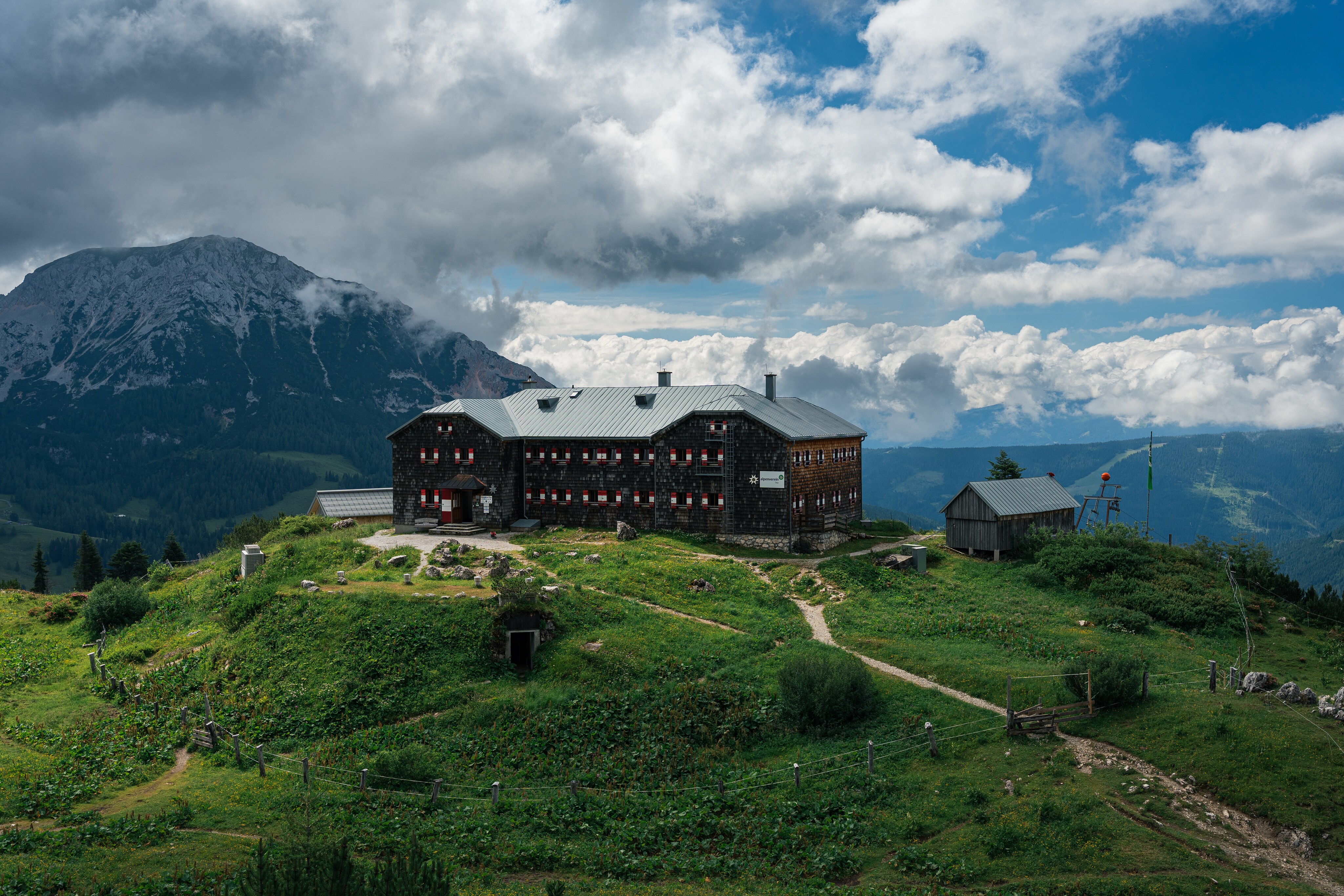
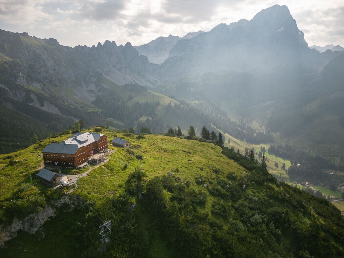
Hofpürglhütte - Südwandhütte | Sun Trail Dachstein: Stage 01


Tour description
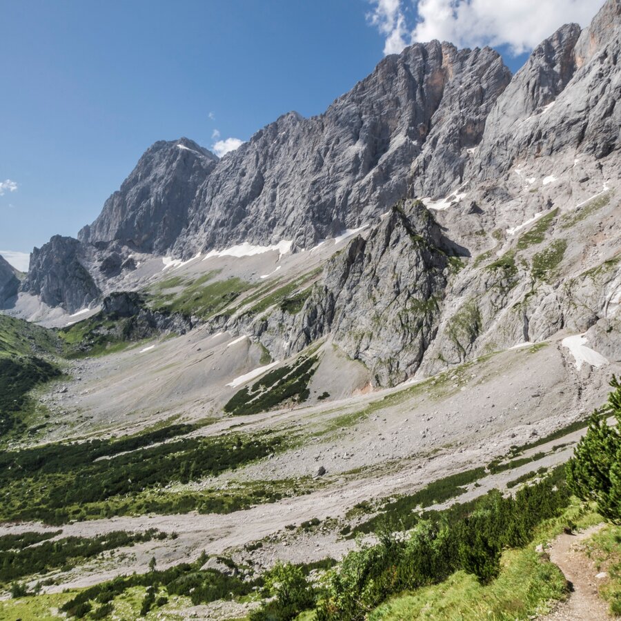
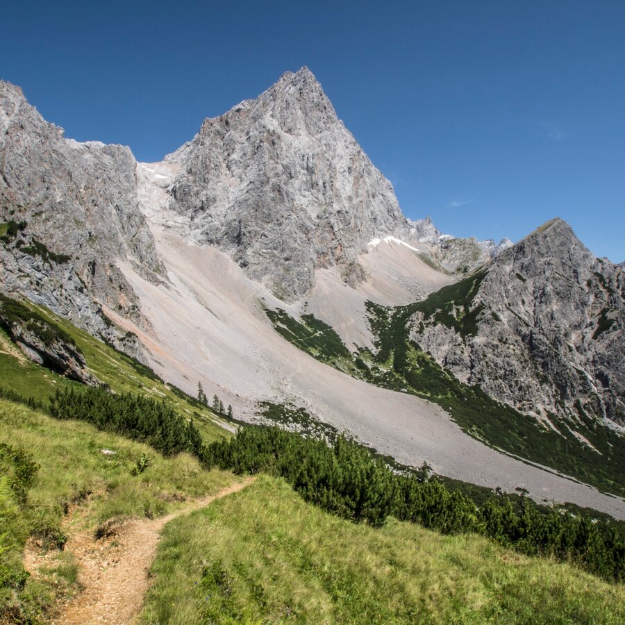
On the 1st stage of the Dachstein Sonnen-Runde, you hike from the Hofalmen in Filzmoos through the „Tor“ to your daily destination with an overnight stay at the Dachstein Südwandhütte. Along the way, there are many wonderful points of interest such as the Hofpürglhütte, the Linzer Steig below the Gosaukamm, the "Schnittlauchboden", the Sulzenschneid, and the striking passage "durchs Tor". Last but not least, the Dachstein Südwände, which rise a thousand meters right before your feet to almost 3,000 m above sea level, will leave a lasting impression on you.
The tour
Map, elevation profile & further information
From the Hofalmen, you can reach the Hofpürglhütte via hiking trail #612 after a good one-hour ascent. Here at the foot of the impressive Bischofsmütze, you have earned your first short break and can enjoy the magnificent view of the Hofalmen and Filzmoos.
The hike from the hut to the Dachstein Südwandhütte is a beautiful high-altitude hike and initially leads with a moderate incline over the Kesselwand into a giant cirque. The path winds over large scree slopes below the Gosaustein and after about 1.5 hours you reach the Rinderfeld: green, lush meadows and gentle hills at the foot of the Hochkesselkopf. After rather gentle sections of the path, another proper ascent to the Sulzenschneid is on the agenda. However, the view from the summit cross (1,990 m) is truly rewarding.
After an extensive rest at the halfway point of this tour, the path leads downwards to the Sulzenhals and then into the Windlegerkar. Here, trail #614 branches off to the Bachlalm. Alternative in case of bad weather, instead of going via the "Tor", there is an option for refreshments and overnight accommodation.
Continue on trail #617, which now crosses the scree cirque below the Windlegergrat and then climbs steadily up to the "Tor". For the first time on this tour, you can see the mighty Dachstein Südwand and below it on the Schönbühel, the Südwandhütte. The daily destination of the 1st stage of the Dachsteinrundwanderweg.
From west:
Tauernautobahn A 10 to the Ennstal junction - exit in the direction of Graz/Schladming - about 20 km on the Ennstal federal road to Schladming. Turn off in Schladming Mitte and follow the state road in the direction of Ramsau am Dachstein. From Ramsau then continue with the hiking bus to the starting point. If you pick up your car at the end of your tour with the hiking bus in Filzmoos, you can exit the A10 at the "Eben im Pongau" exit and continue to Filzmoos from there.
From the north:
Pyhrnautobahn in the direction of Liezen Ennstalbundesstraße to Schladming. Turn off in Schladming Mitte and follow the state road in the direction of Ramsau am Dachstein. From Ramsau then continue with the hiking bus to the starting point or if you park your car in Filzmoos with the hiking bus back to Filzmoos.
Ramsau Kulm car park, at the tourist information office.
You can take the Ramsauer Verkehrsbetriebe bus from Schladming or Ramsau am Dachstein to Filzmoos and from there take the Filzmoos hiking bus to the starting point at the Hofalmen.
- Ramsau hiking bus timetable at www.rvb.at
- Fidibus Wanderbus Filzmoos at www.filzmoos.at
Changes in weather patterns, quick falls in temperature, thunderstorms, wind, fog and snow are some of the dangers that can be encountered on a hiking tour. Hosts of alpine huts and mountain refuges have a lot of experience in the mountains and can give good advice about weather and the trails. Poor equipment, overestimation of one's own capabilities, carelessness, poor personal constitution and/or wrong judgement can lead to critical situations. In case of thunderstorms: avoid summits, ridges and steel ropes.
GPS data and orienteering
Available GPS data - just like hiking maps - is only a guidance for orientation and can never depict a trail exactly with all its details. Especially at dangerous spots it is essential to judge on site how to proceed.
In an emergency please call:
- 140 - for Alpine emergencies (all over Austria)
- 112 - European GSM emergency number
A well-packed backpack is helpful and especially when touring Alpine terrain a tuque, gloves, a windproof jacket and pants are standard equipment. Good, waterproof shoes, sun glasses, sun cream and sufficient beverages are essential too. Torch light, a map of the area, knie and a small first-aid kit should also be in the backpack.
Summer map "WEST" for the Schladming-Dachstein region, available from the information offices in the Schladming-Dachstein region.