Hopsiland Planai

Tour description
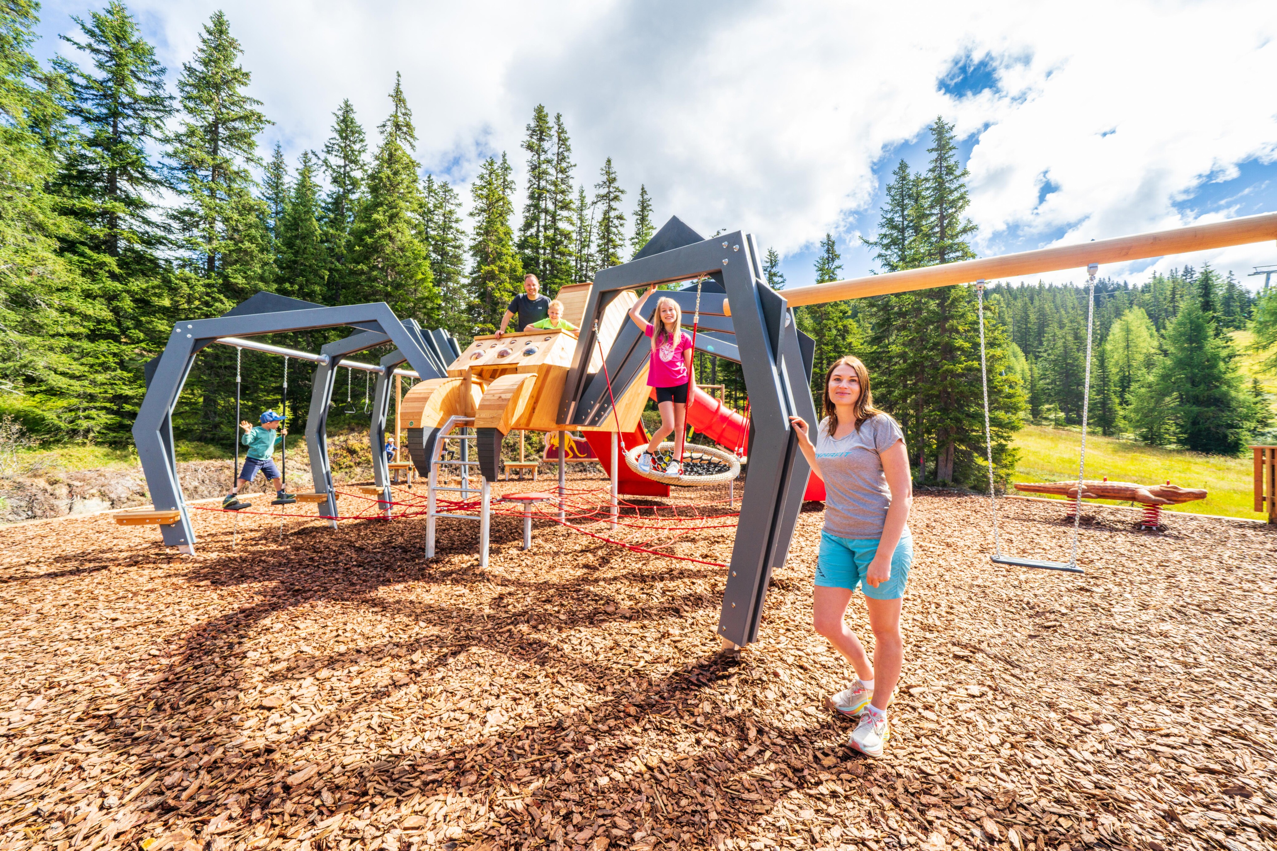
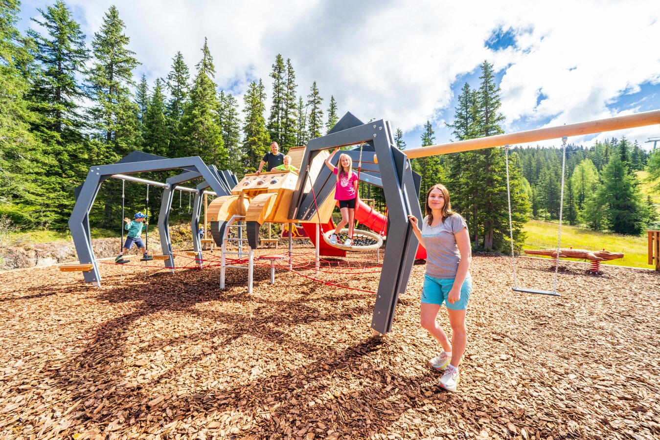
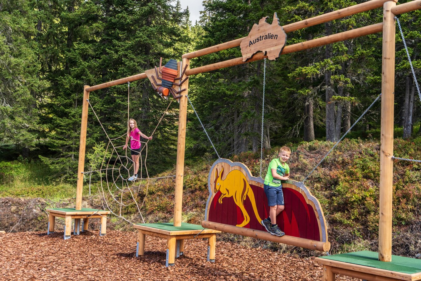
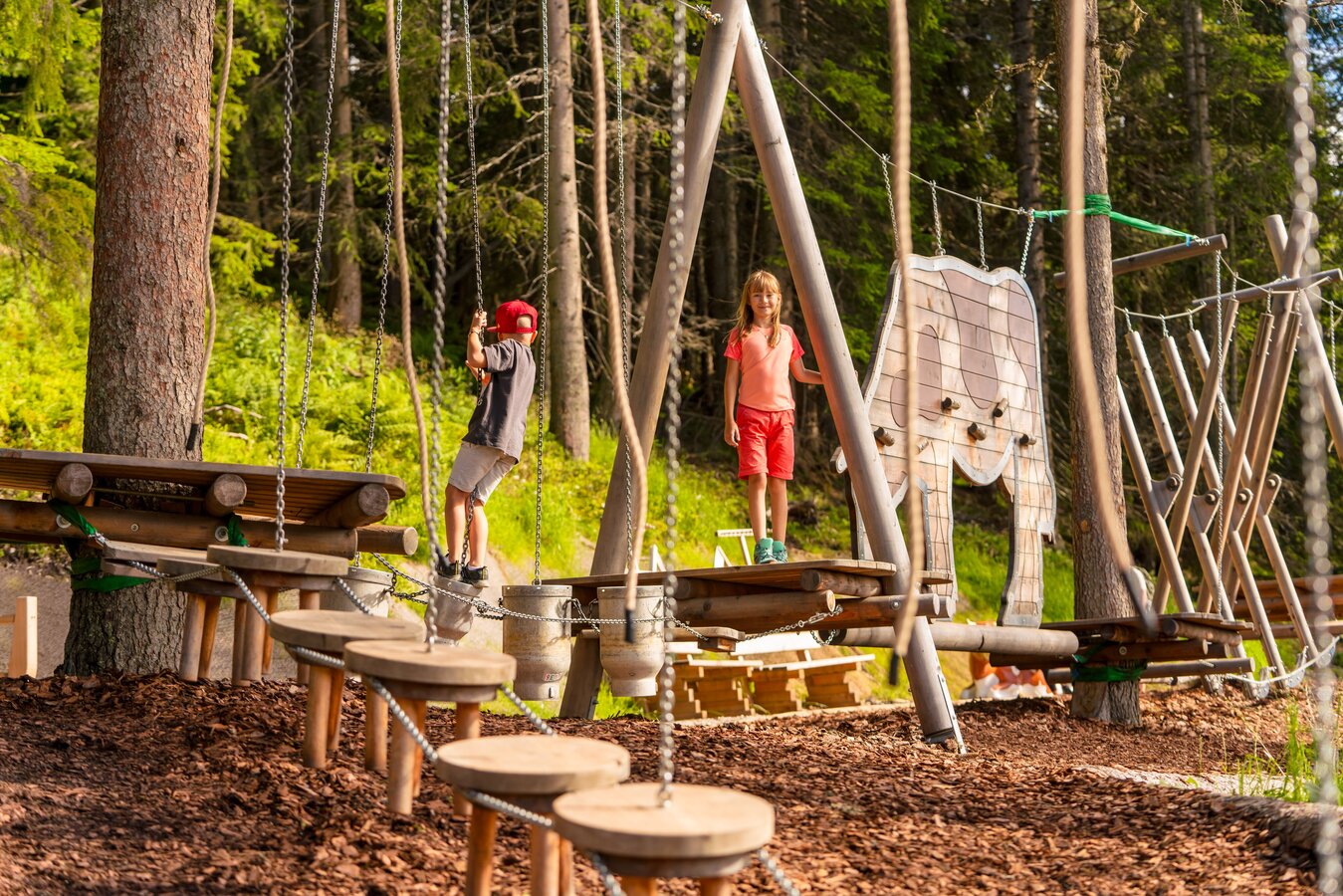
On the "Hopsi's Home" circular trail, Hopsi climbs, slides, and jumps wherever there's something to discover. This trail starts right at the mountain station of the 10-person Planai main cable car. Along this trail, Hopsi shows you his beloved alpine home. Tip: For best results, walk the circular trail clockwise with a stroller!
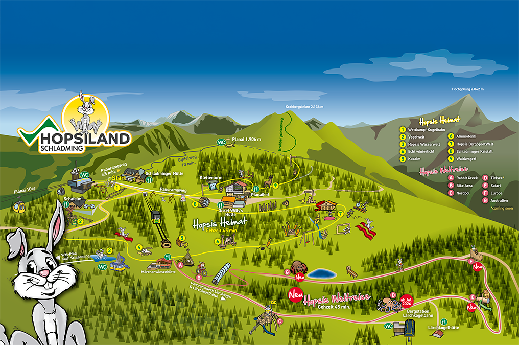
Various stations await visitors:
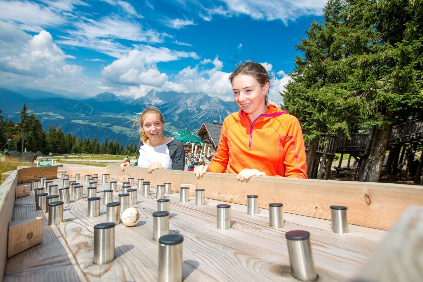
- Competitive marble runs
- Bird world
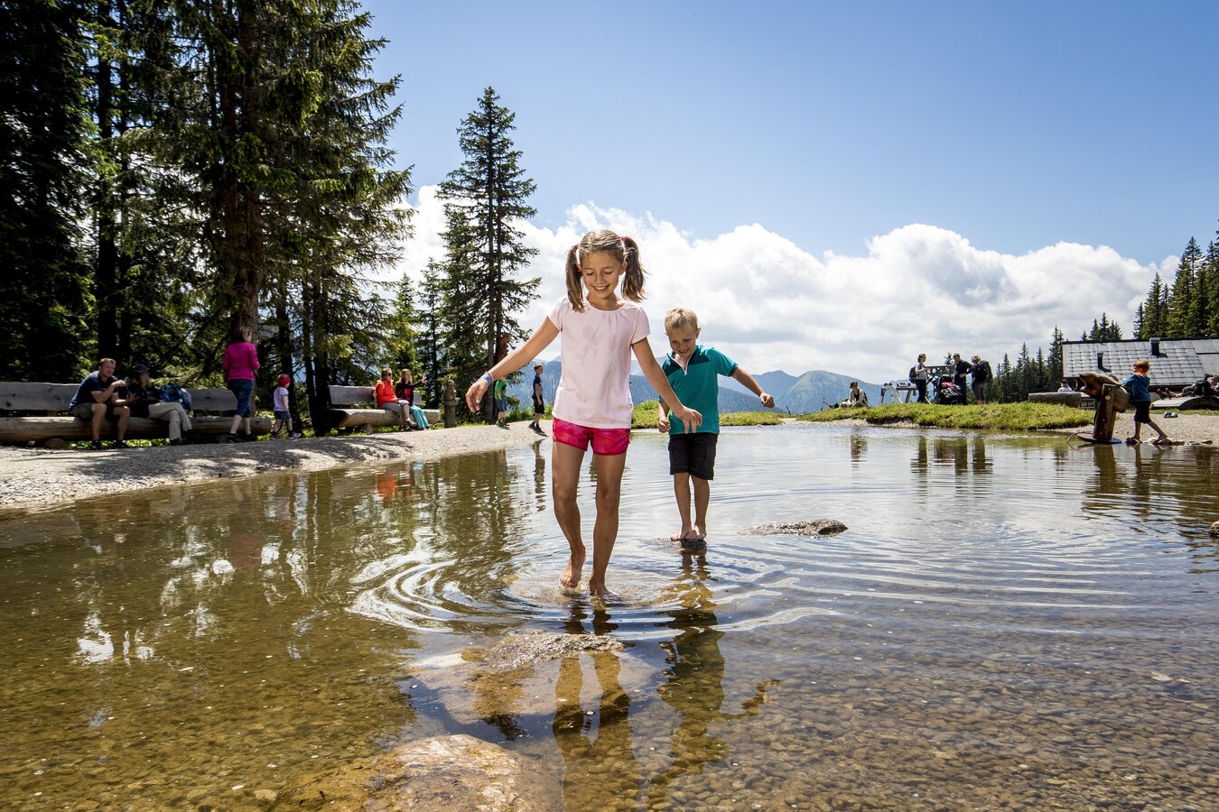
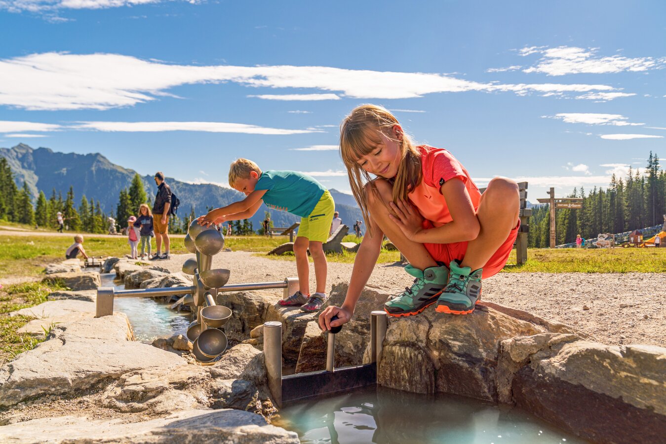
- Water world
- Kasalm
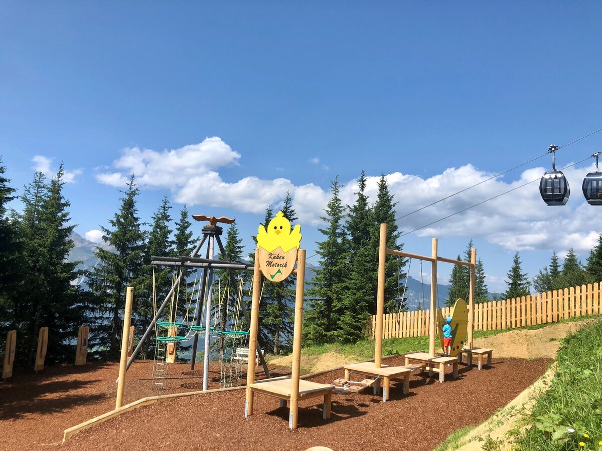
- Alpine motor skills
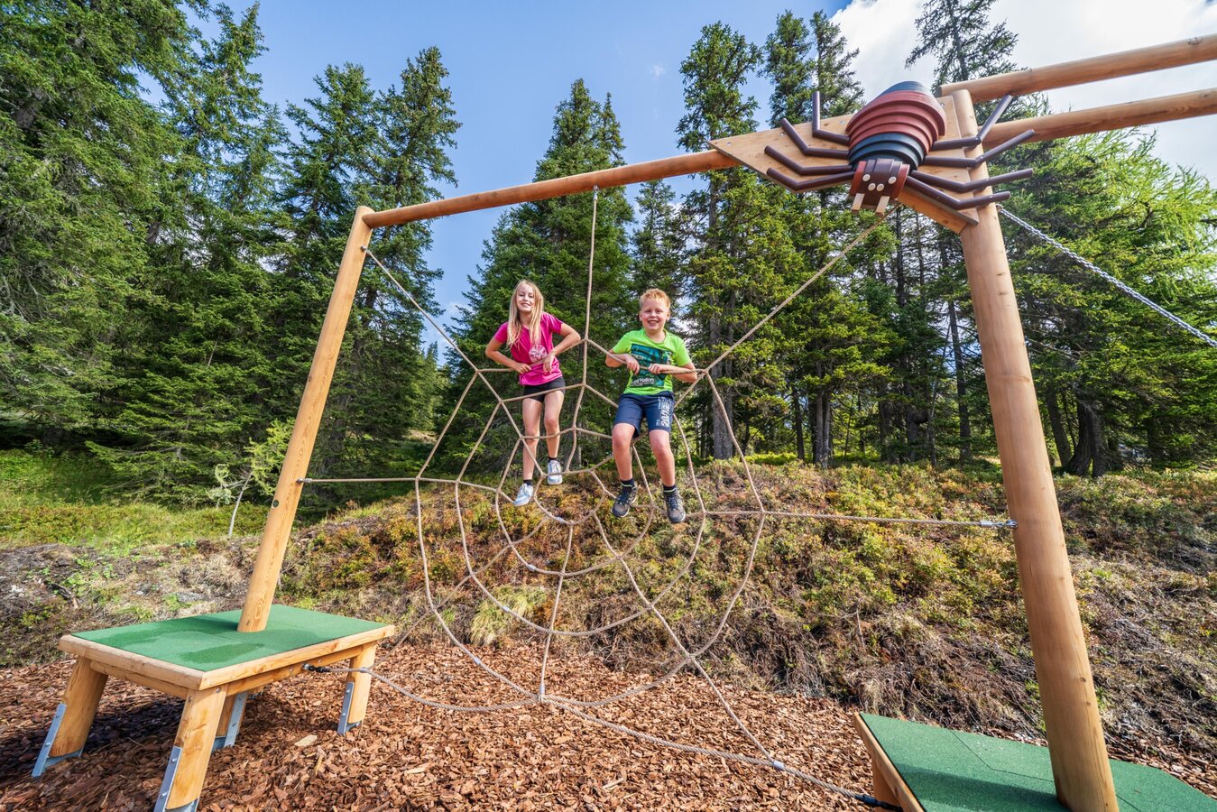
- Mountain sports world
- Forest trails
Several stations await you here as well:
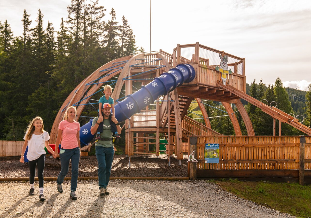
- Rabbit Creek
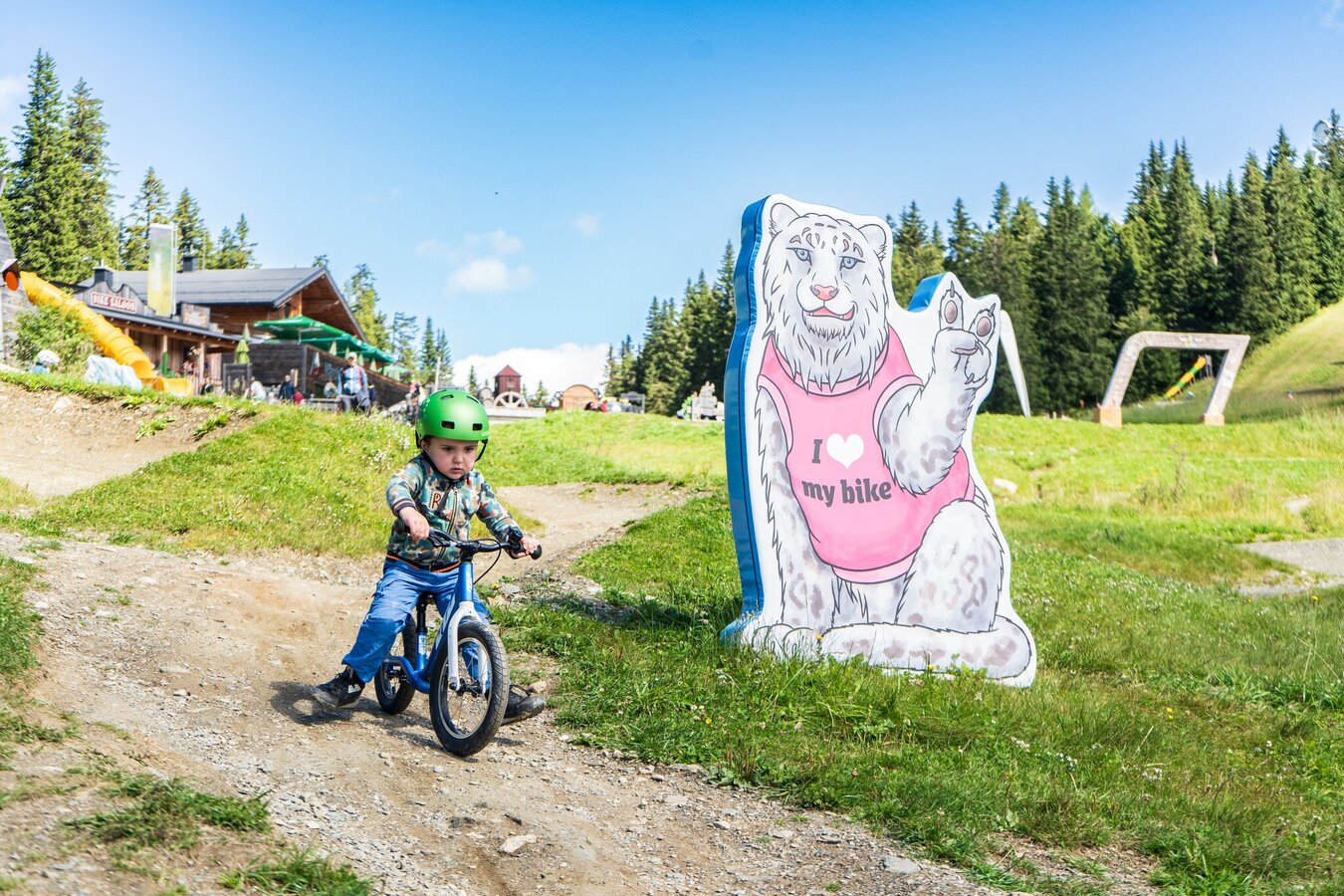
- Bike Area
- North Pole
- Deep Sea
- Safari
- Europe
- Australia
The tour
Map, elevation profile & further information
From the top station of the Planai cable car you go down through the Schafalm forest where the first game elements are already waiting. Past the Schafalm, we go along the marble runs (you can get the ball at the mountain station) to the bird world and continue through a short forest to Hopsi's water world. Here the World Cup path branches off towards Schladming. Further ahead at the Märchenwiesenhütte is the gold panning facility at Rabbit Creek. Here the Hopsi's World Tour loop takes you on a loop to Lärchkogel and back.
You continue across mountain meadows (Hopsi's favorite ski slopes in winter) and through the sparse "carrot forest" to Hopsi's mountain sports world. There are also numerous play elements along the way. Past the Weitmoosalm we then head towards Onkel Willy's Hütte and the Schladminger Kristall.
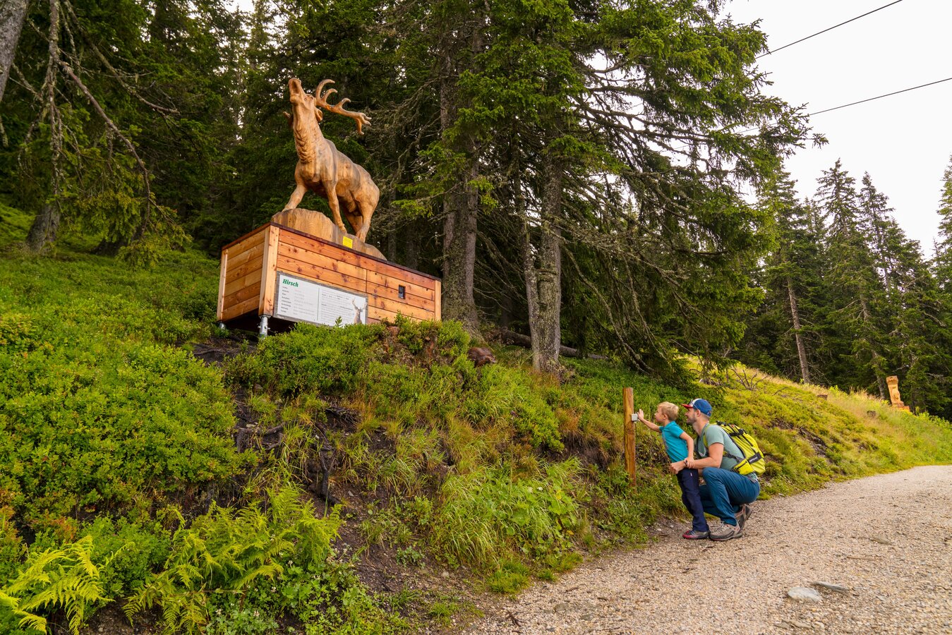
Above the Planaihof you can branch off onto the forest path around the Planai summit - great animal figures are waiting to be discovered here. From the Planaihof you go past the Hopsiflug and the mountain station of the Hopsi Express back to the Schladminger Hütte and the mountain station of the Planai cable car.
There is plenty of parking next to the valley terminal of Planai cable-car.
In the town of Schladming you can take the Citybus. From Rohrmoos take the Planai buses to Planet Planai, from Ramsau take the buses of Ramsauer Verkehrsbetriebe.
- Citybus and buses from Rohrmoos - www.planaibus.at
- Buses from Ramsau - www.rvb.at
From WM-Planai stadium take the cable-car to the top of Planai.
Parents are responsible for the safety of their child.
It's anyway the most fun when you explore Hopsiland together - and there is also some playing equipment where parents will enjoy themselves too :)
Hiking or trekking shoes with grip sole, jacket - and a lot of excitement :)
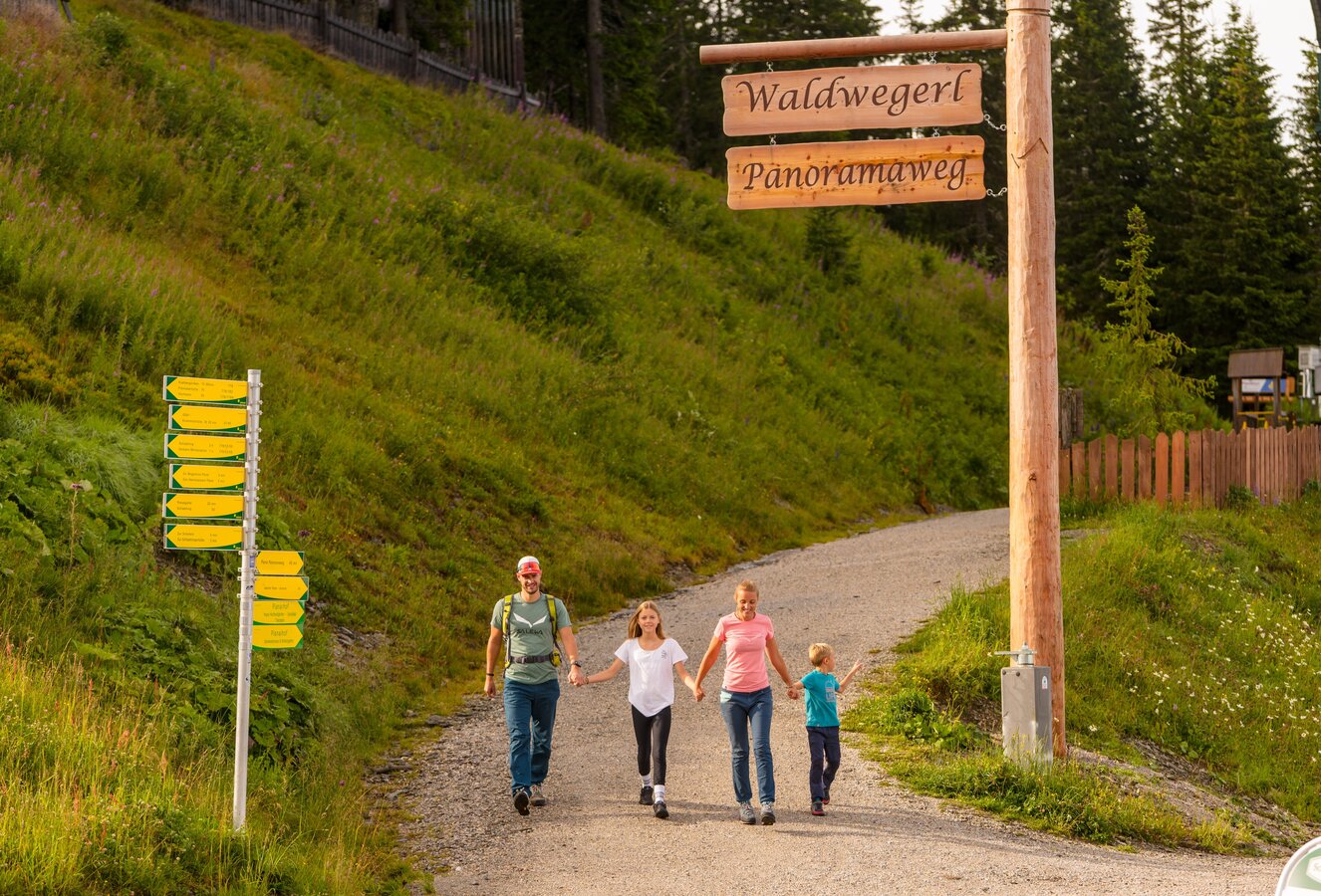
Another option for a short walk is Planai Panorama trail (45 minutes to 1 hour)
Both trails are suitable for prams too!
Tourist information: www.schladming.com
Information about bus schedules: www.planaibus.at
Information about cable-car hours: www.planai.at
- Planai-Hochwurzen brochure, available at the tourist office Schladming.
- Hiking map ‘Hiking WEST’ available at the information offices in the region.
- Schladming hiking map, 1:25,000, available at the Schladming information office.
- Hiking map Schladming-Dachstein, 1:50,000, available at the information offices in the region.
- Hiking guide Schladming-Dachstein by Herbert Raffalt, available at the information offices in the region.