Grimming-Donnersbachtal
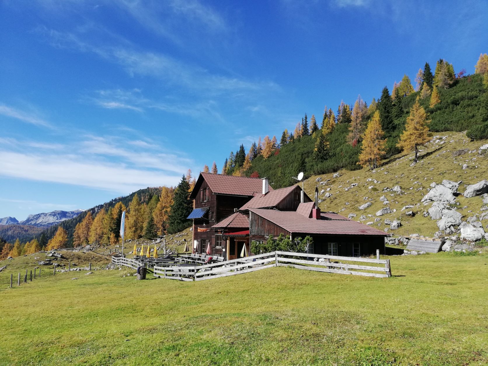
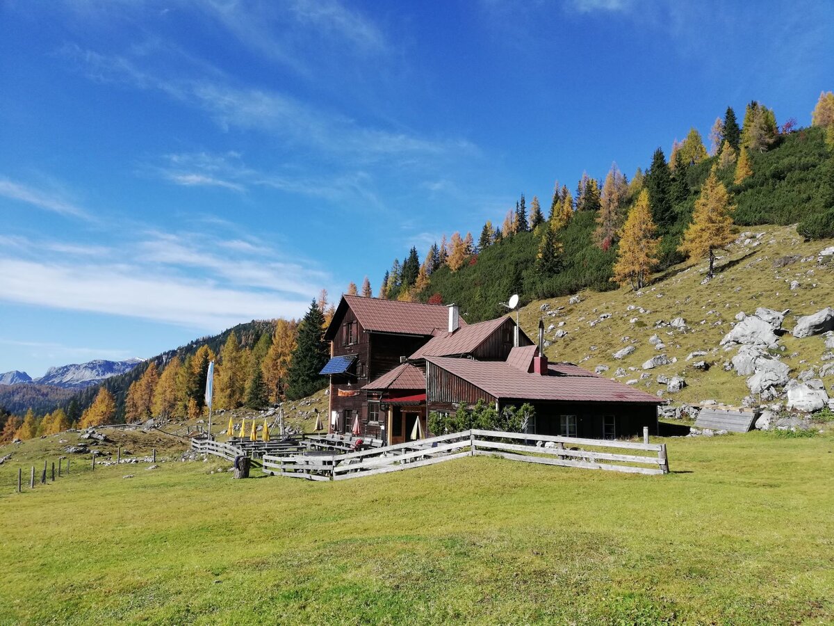
Lovely Hut Tour to the Hochmölbing Hütte
Hiking trail
Data:
copyright: Roland Gutwenger
Tour description
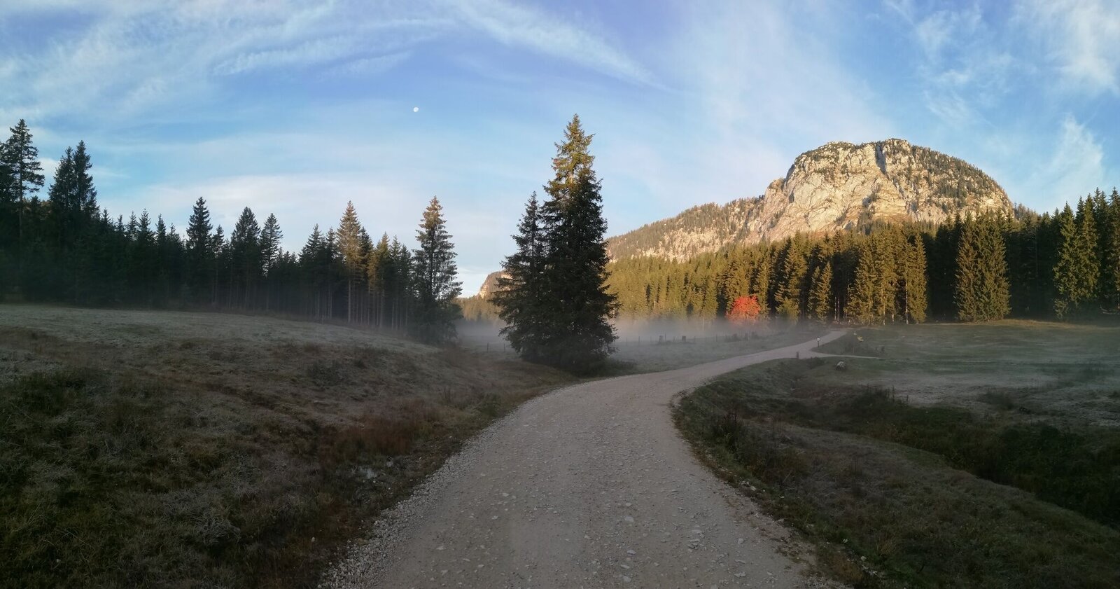
The hike on easy paths over luscious mountain pastures leads us up along the eastern slope of Hochtausing to the Langpolten Alm. For surefooted mountaineers, Hochtausing peak (elev. 1,823 m) is certainly a temptation, because its rocky ridge offers a fantastic panoramic view (via ferrata on the western side). We continue through the Langpoltner Klamml on the south-facing slope to the Thank Heavens Bench, which provides an impressive view. Now we hike easily downhill through a sparse larch forest to the Hochmölbing Hütte. There is an alternative for our return hike: at the trail crossing at the Langpolten Alm, path No. 7 (also 209), branches off to the right and leads between Hochtausing and Bärfeichtenmölbing to the Bärfeichten Alm. From here, we begin our circumnavigation of the Hochtausing, which is constantly on our left-hand side (marking no. 7). Pathways take us over the Grafenhube, followed by a virtually level stretch almost all the way back to Schönmoos.
The tour
moderate
Starting point
Parking area at Schönmoos
Destination
Hochmölbing Hütte
Tour characteristics
Distance: 16.7 km
Fitness (4/6)
Skills (2/6)
Information
Distance: 16.7 km
Duration:
6:00 h
Ascent: 740 m
Descent: 740 m
highest point: 1732 m
Best season
Jan
Feb
Mar
Apr
May
Jun
Jul
Aug
Sep
Oct
Nov
Dec
Map, elevation profile & further information
From Wörschach up Wörschach mountain, past the Berghof to Schönmoos.
Parking area Schönmoos
Parking area Schönmoos
No public transport access possible.
sturdy shoes, rain gear
For sure-footed mountaineers we recommend a hiking tour to the summit of the Hochtausing. Safety information Safety on the mountainside: changes in the weather, sudden fall in temperature, thunder storms, wind, fog and snow fields are all objective dangers and require the correct behaviour whilst underway. The landlords of the huts are all very knowledgeable about the mountains and can give you good tips about the weather and the routes. Insufficient equipment, exaggerated opinion of ones capabilities, frivolousness, poor health condition and a false evaluation of the situation can lead to a critical situation. In thunder storms: summits, crest-sites and safety rope aids are to be avoided.
If something should happen call following emergency numbers:No. 140 - the number for all Alpine Emergencies in all of AustriaNo. 112 - European emergency call GSM emergency-call-service