Gröbminger Land
Moosberg round
Pushchair path
Data:


Tour description
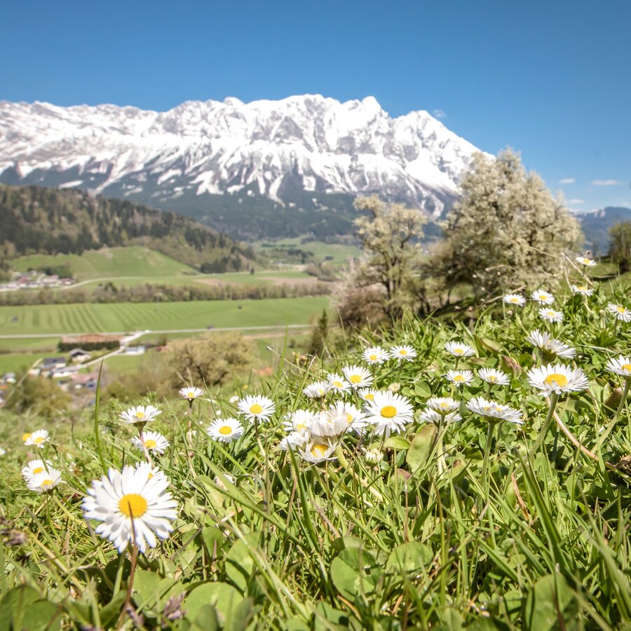
The scenic hike around Moosberg and Sonnberg offers beautiful views of Niederöblarn, Mitterberg, Kammspitze, Stoderzinken, and, of course, Grimming—which is considered the highest free-standing mountain in Europe.
The tour
easy
publicly accessible
Starting and end point
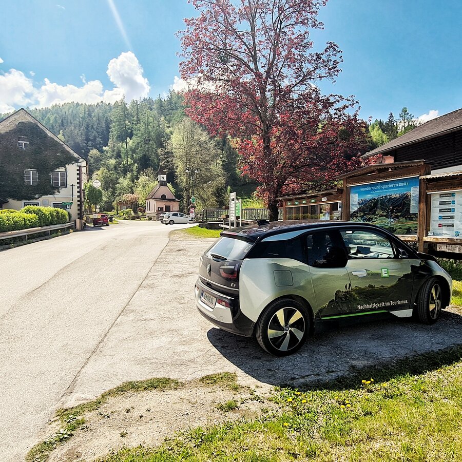
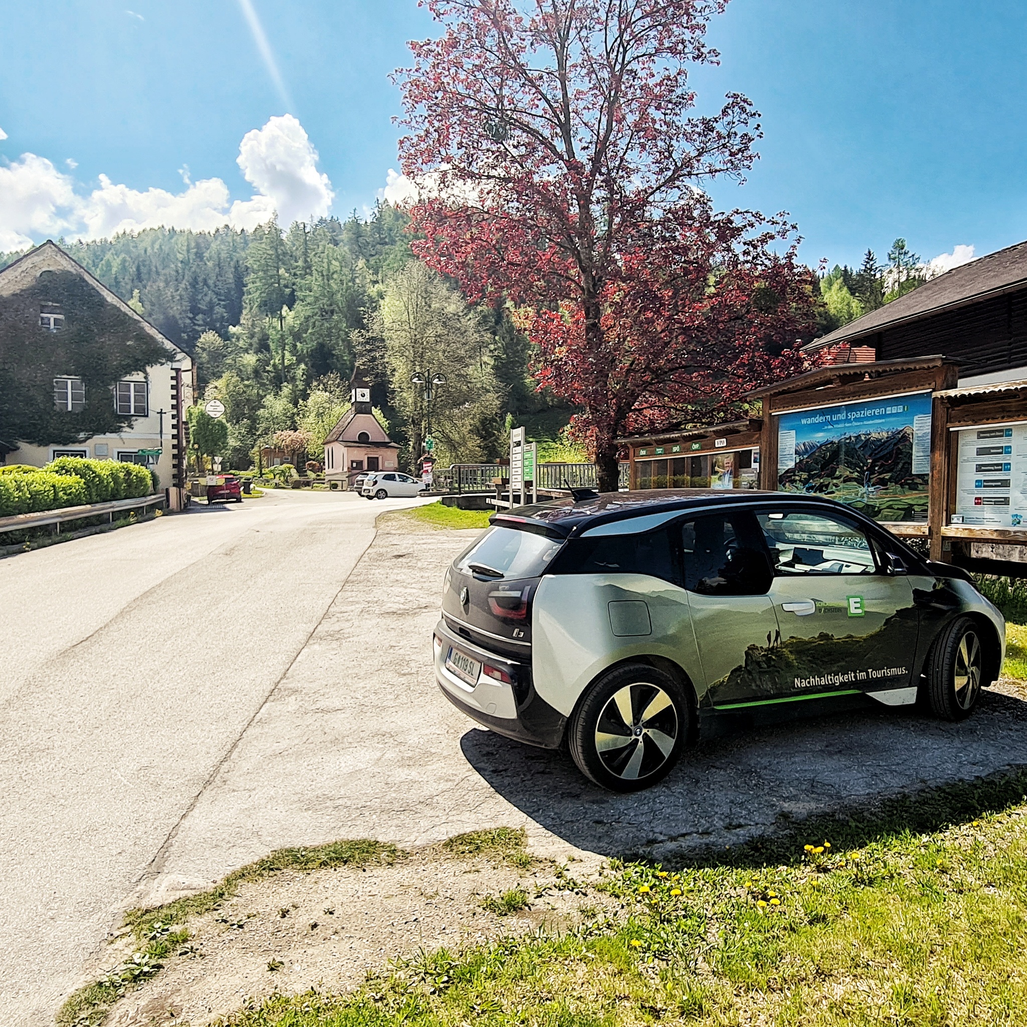
Public parking lot opposite of Grimmingtor inn
Tour characteristics
Distance: 5.4 km
Fitness (2/6)
Information
Distance: 5.4 km
Duration:
1:30 h
Ascent: 190 m
Descent: 195 m
highest point: 858 m
Best season
Jan
Feb
Mar
Apr
May
Jun
Jul
Aug
Sep
Oct
Nov
Dec
Map, elevation profile & further information
From the Grimmingtor Inn, follow the road into the valley until you reach the Moosberg turnoff at the Moosberg Bridge. Follow the Moosberg farm road, winding through a few hairpin turns, to the junction with the Grimminger Panorama Höhenweg (GPHW) at the Moosmoar farmstead. Here, turn right onto the access road to the Webersberger farmstead. Follow Moosbergstraße uphill to the Gatschberger farmstead, then continue steadily downhill toward Sonnberg.
After a short stretch through the forest, turn right onto the private road leading to the Murberger farmstead. Continue downhill past the farm and then down the Murberger access road to the old Niederöblarn highway. Passing the Rüppelmoar farmstead, walk back into town to the parking lot at the Grimmingtor Inn.
After a short stretch through the forest, turn right onto the private road leading to the Murberger farmstead. Continue downhill past the farm and then down the Murberger access road to the old Niederöblarn highway. Passing the Rüppelmoar farmstead, walk back into town to the parking lot at the Grimmingtor Inn.
From the A10: At Altenmarkt (Exit 63), turn toward Graz. Follow the B99 to Radstadt. From there, take the B320 toward Graz. At Pruggern, follow the sign for Öblarn. From Öblarn, continue toward Niederöblarn; as you enter the town, turn right and follow the main road to the parking lot across from Gasthof Grimmingtor.
From the A9: At Selzthal (Exit 69), turn toward Liezen/Radstadt. From Liezen, take the B320 to Espang. There, turn toward Öblarn. Continue for two kilometers to Niederöblarn, then turn left into the town and follow the main road to the parking lot across from the Grimmingtor Inn.
From the A9: At Selzthal (Exit 69), turn toward Liezen/Radstadt. From Liezen, take the B320 to Espang. There, turn toward Öblarn. Continue for two kilometers to Niederöblarn, then turn left into the town and follow the main road to the parking lot across from the Grimmingtor Inn.
Publich parking lots opposite of Grimmingtor inn.
Niederöblarn can be reached with the ÖBB regional trains (www.oebb.at).
From the train station you walk to the starting point at the Gasthof Grimmingtor in about 10 minutes.
Weather changes, rapid drop in temperature, thunderstorms, wind, fog and snow fields are objective dangers and require the right behavior on the way. Hut keepers are experienced mountain connoisseurs, they can give good tips on the weather and the course of the trail. Lack of equipment, overestimation of one's own abilities, carelessness, poor physical condition and a wrong assessment can lead to critical situations. During thunderstorms: avoid peaks, ridges and rope belays at all costs.
GPS data and orientation aids: Available GPS data - as well as hiking maps - are only an orientation aid, since they can never represent an exact image or the richness of detail of a path in reality. Especially in the case of danger spots, it must therefore always be decided in the end on the basis of the conditions on site whether and how the further course of the path looks like.
In case of emergency, please dial the following emergency numbers:
No. 140 - for alpine emergencies - Austria-wide
No. 112 - Euro emergency call GSM emergency call service
Take rainproof and warm clothes and enough water, possibly also a snack, wear shoes with non-slip profile soles. A first aid kit should also be in your backpack.
Along the Sonnberg road the walk can also be started from Öblarn.
SummitLynx- Your digital summit and hut book - available worldwide and always with you!
Phone: +43 3687 23310
mailto:info@schladming-dachstein.at
The brochure “Schladming-Dachstein Hiking” is available in all information offices in the region.


