Rohrmoos Run

Tour description
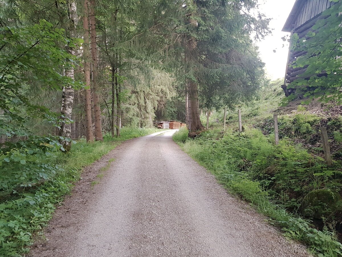
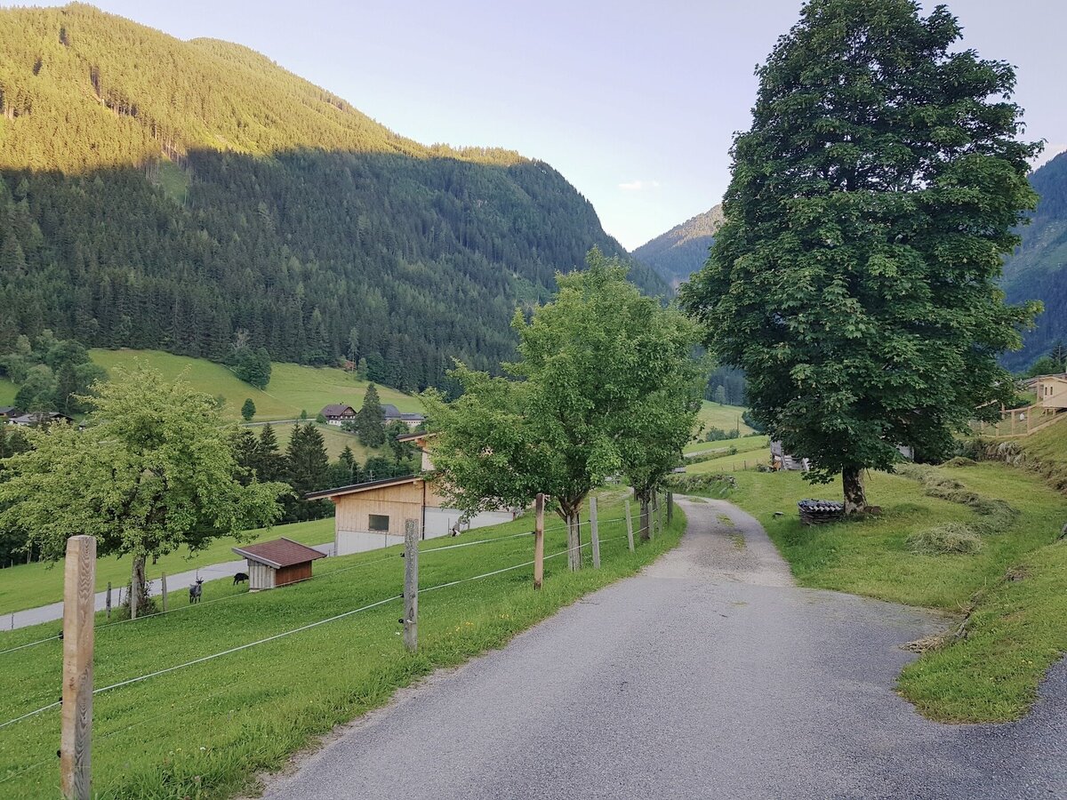
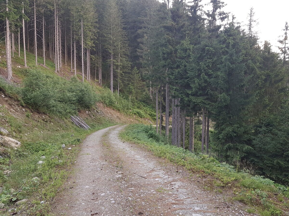
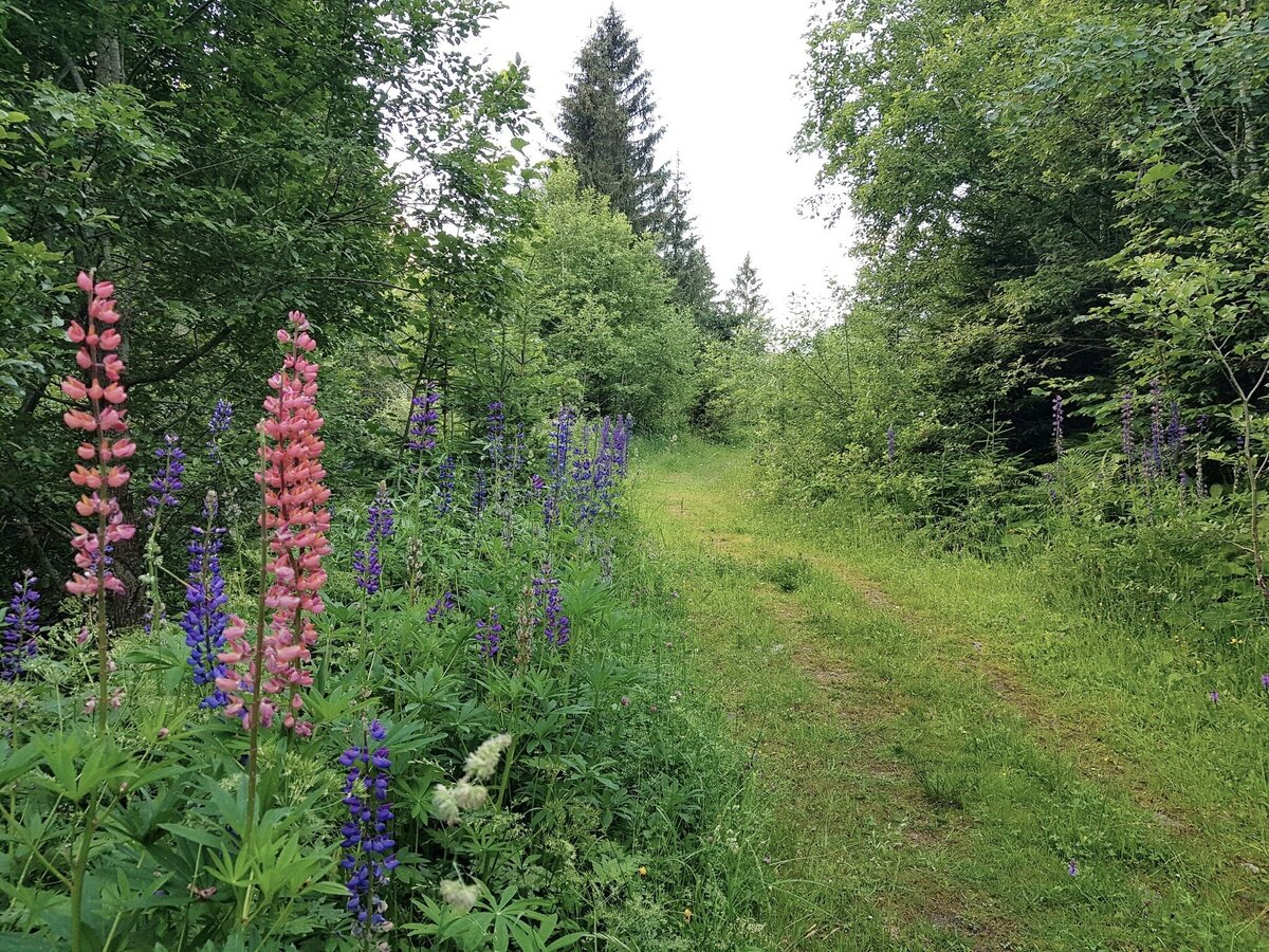
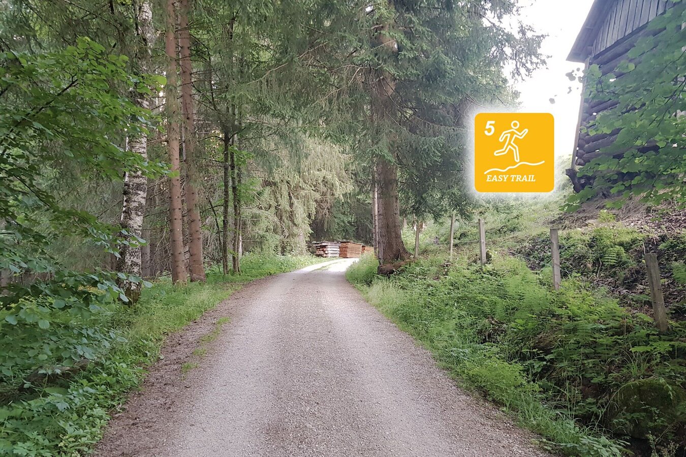
Rohrmoos Run is a combination of jogging route and easy trail run. During the first section (about 3 kms) you mostly run on paved surface without big differences in altitude to cover. Once you turn off from the Ahornweg road the route takes you along forest lanes and trails and you then have to cover most of the 272 meters in vertical ascent. Due to its composition and elevation profile, Rohrmoos Run is the perfect route for trail running newbies.
The tour
Map, elevation profile & further information
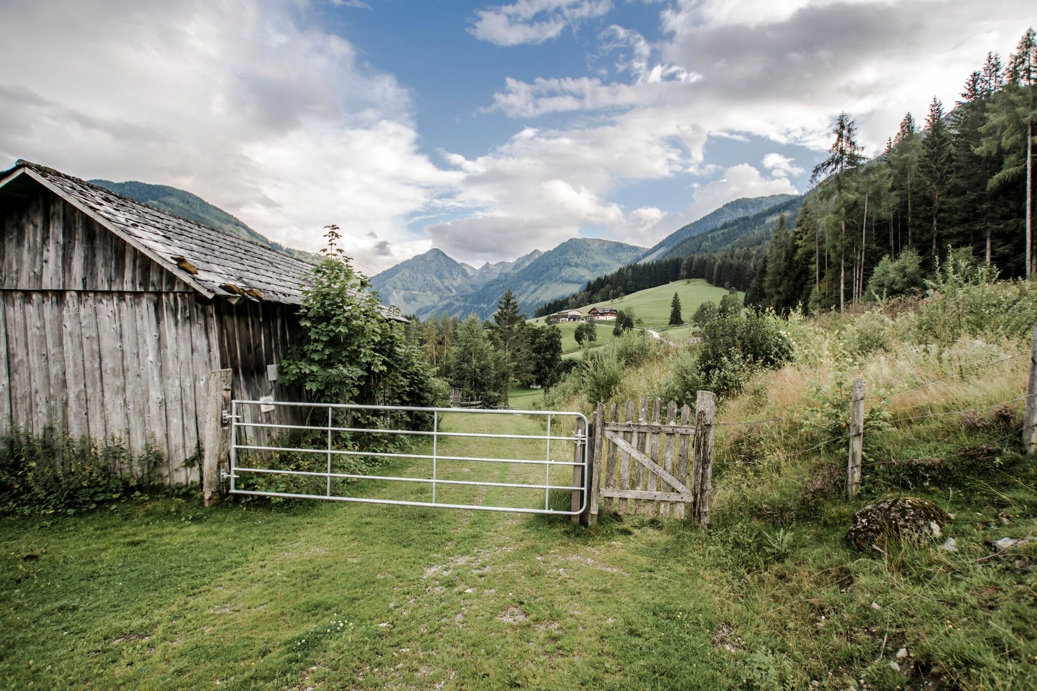
From the starting point you run across “Rohrmooser Frei” meadows and continue into Obertal. First along the “Knappenweg” then along the “Ahornweg” roads you reach the Rojerhof farm. On the hill after the farm you turn off right onto the forest lane which you run up until the 6th hairpin bend where you continue on the forest trail towards Rohrmoos. Via Schlapfer farm and the “Mushroom Nature Trail” you run to the valley terminal of Gipfelbahn Hochwurzen cable-car. Left of hotel Waldfrieden you then run downhill to your starting point.
With the Planai buses from Schladming (Planet-Planai, Lendplatz) to Rohrmoos - bus stop "Schwaigerhof".
- Buses of Planai-Hochwurzen-Bahnen: www.planaibus.at
The surface along Rohrmoos Run is generally easy and without technical difficulty. Some sections though are meadow trails and covered with grass - therefore they can be uneven. Therefore, runners should be well-trained and have sufficient stamine for this run.
Trail running shoes are recommended.Connect Rohrmoos Run and Bernhard Knauß trail for a longer run (12 kms, 460 meters in vertical ascents). You start out on Rohrmoos Run and from the valley terminal of Hochwurzen cable-car you then follow Bernhard Knauß trail (light blue, trail #3).
Tourist information: www.schladming.com
Information about bus schedules: www.planaibus.at
Summer Experience Map "WEST" Schladming-Dachstein, available at the information offices.


