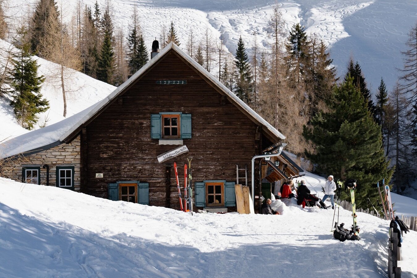
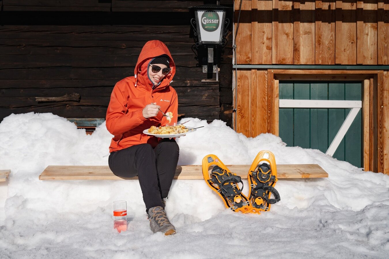
Schönwetterhütte: Snowshoe & winter hike

Tour description
In the forested area, special consideration must be given to the game. Wildlife rest areas are marked on the maps of the various tours. Please try to follow the rules and stay fair to the animals and plants!
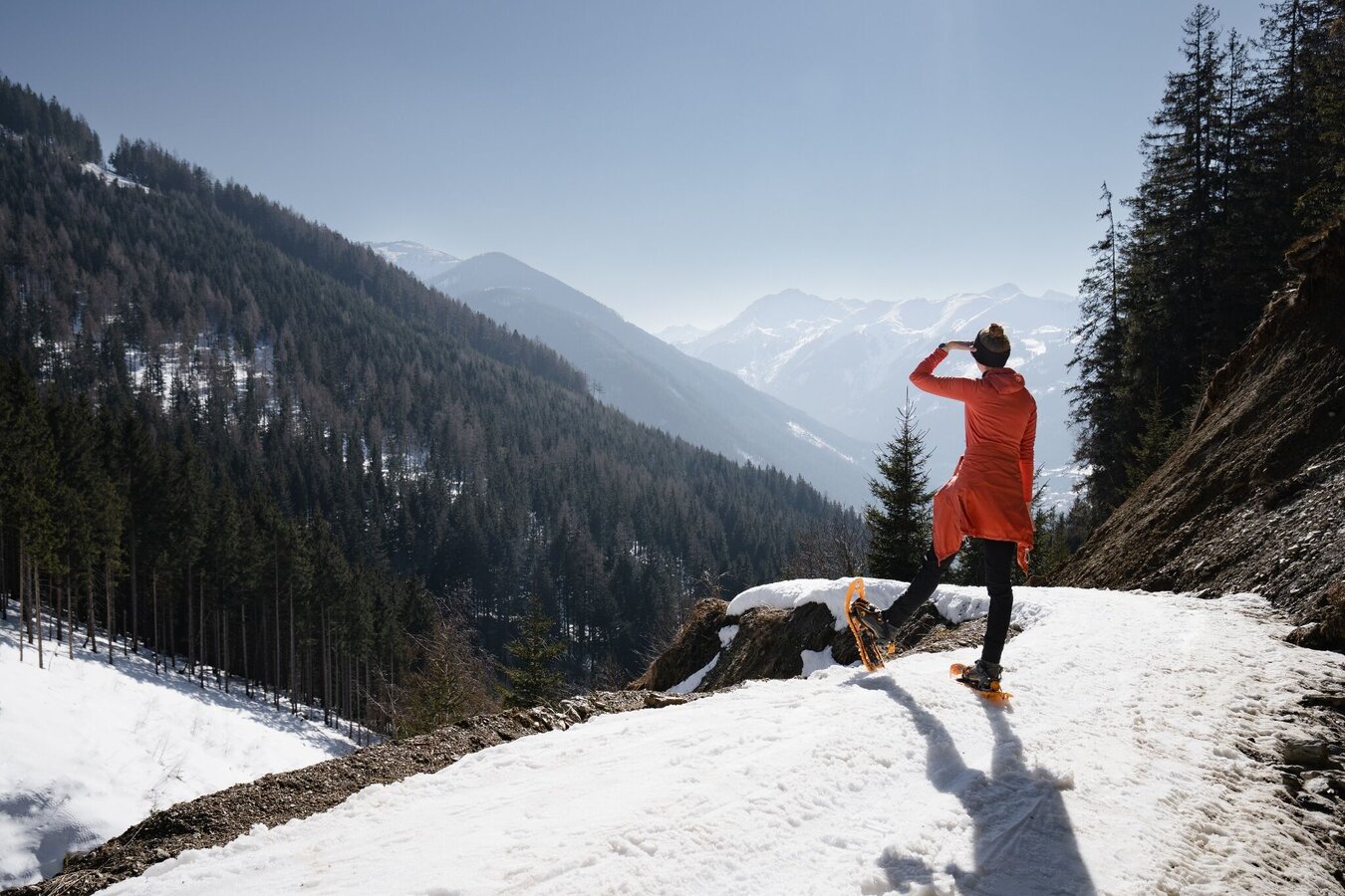
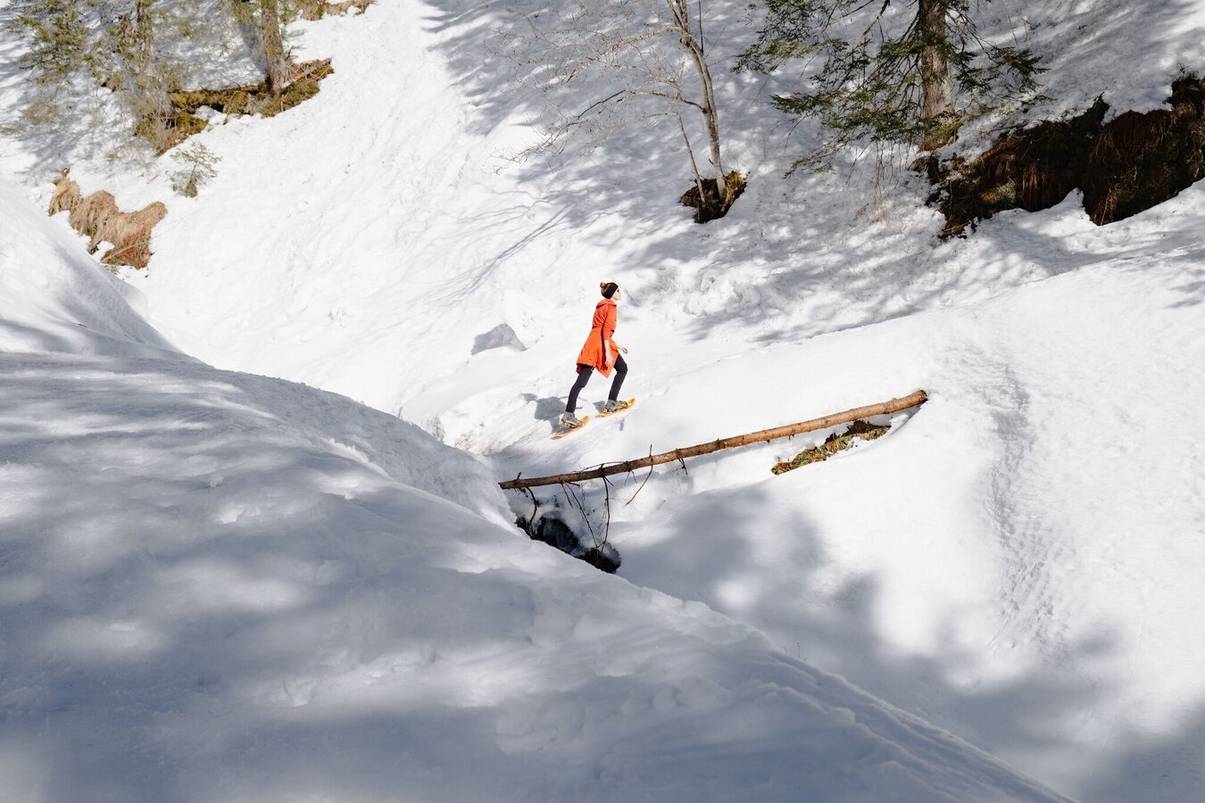
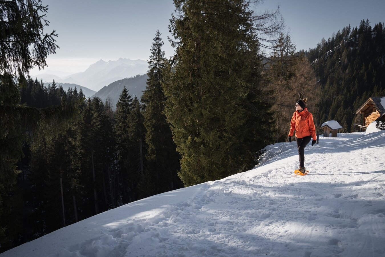
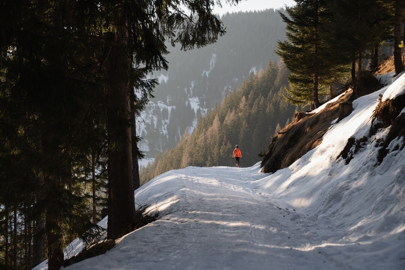
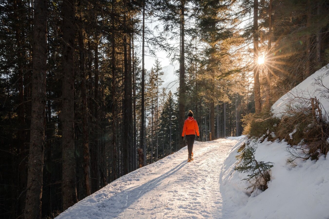
The tour
Map, elevation profile & further information
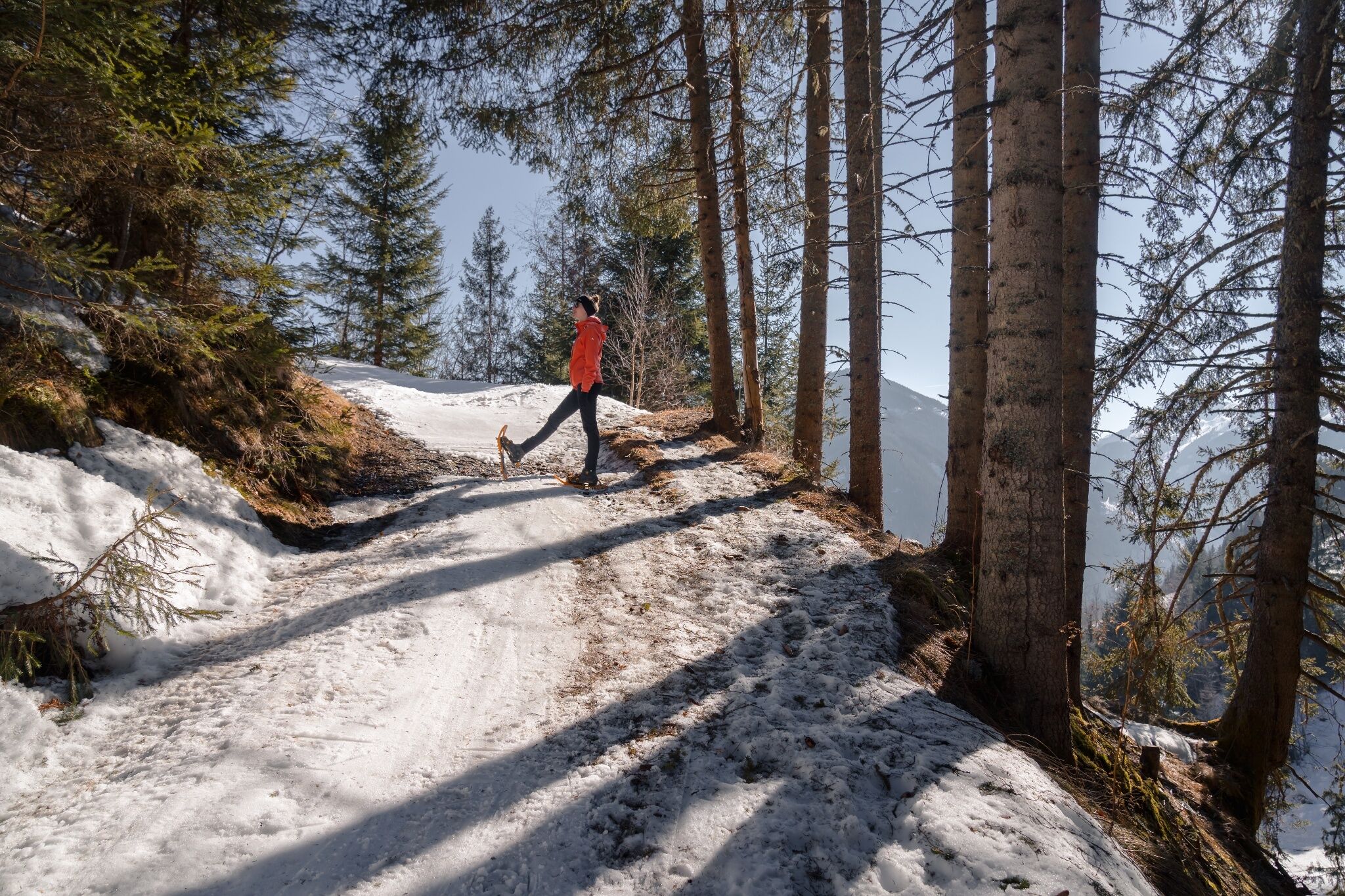
Via the forest road you can easily reach the Schönwetterhütte through a high forest. The hut is generally closed in winter 2024/25. On the same path you go back down into the valley.
From the West (A10 motorway): at Altenmarkt (exit 63) turn towards Graz. Follow the B99 to Radstadt. Here on the B320 towards Graz. At Pruggern follow the signs towards the Sölktäler Nature Park.
From the East (A9 motorway): at Selzthal (exit 69) turn towards Liezen/Radstadt. From Liezen the B320 to Espang. There, turn in the direction of Niederöblarn/Naturpark Söltäler.
To the starting point: In the center of Stein an der Enns turn towards St. Nikolai. After approx. 4.5 km, just before Großsölk, turn left to the Koller farm. Please note the parking regulations.
Parking 200 m in front of the Koller homestead
No public transport available.
Your equipment should ideally include:
- Ankle-high, warm shoes. Waterproof, warm shoes with a treaded sole are ideal. Optional: Gaiters for additional snow protection.
- A hood and warm clothing, ideally layered. Don't forget a change of clothes for longer winter hikes: a wind and waterproof jacket and trousers.
- A small backpack with a warm drink in a thermos and snacks as needed
- Sun protection
- Cell phone
- First aid kit
- Avalanche set consisting of avalanche transceiver, probe and shovel
- Optional: crampons/snow spikes (snow chains for shoes), telescopic hiking poles for better grip and balance.
https://www.schladming-dachstein.at/winterhikingticket
More information is available at the tourist office Schladming Dachstein - Info point Nature Park Sölktäler:
Phone: +43 3687 23310 501
info@schladming-dachstein.at
Stein an der Enns 107
8961 Sölk
Card: winter experience map Schladming-Dachstein "MITTE", available in German at the tourist offices in the Schladming-Dachstein region.
You can find out about the current avalanche situation from the Styrian avalanche warning service.
lawine-steiermark.at or avalanche situation report tape: 0800 31 1588


