Grimming-Donnersbachtal
Schlattham-Lantschern-Way
Pushchair path
Data:
Tour description
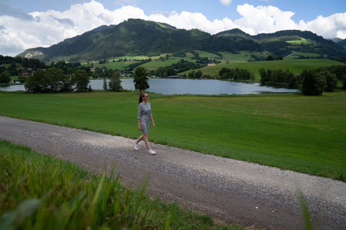
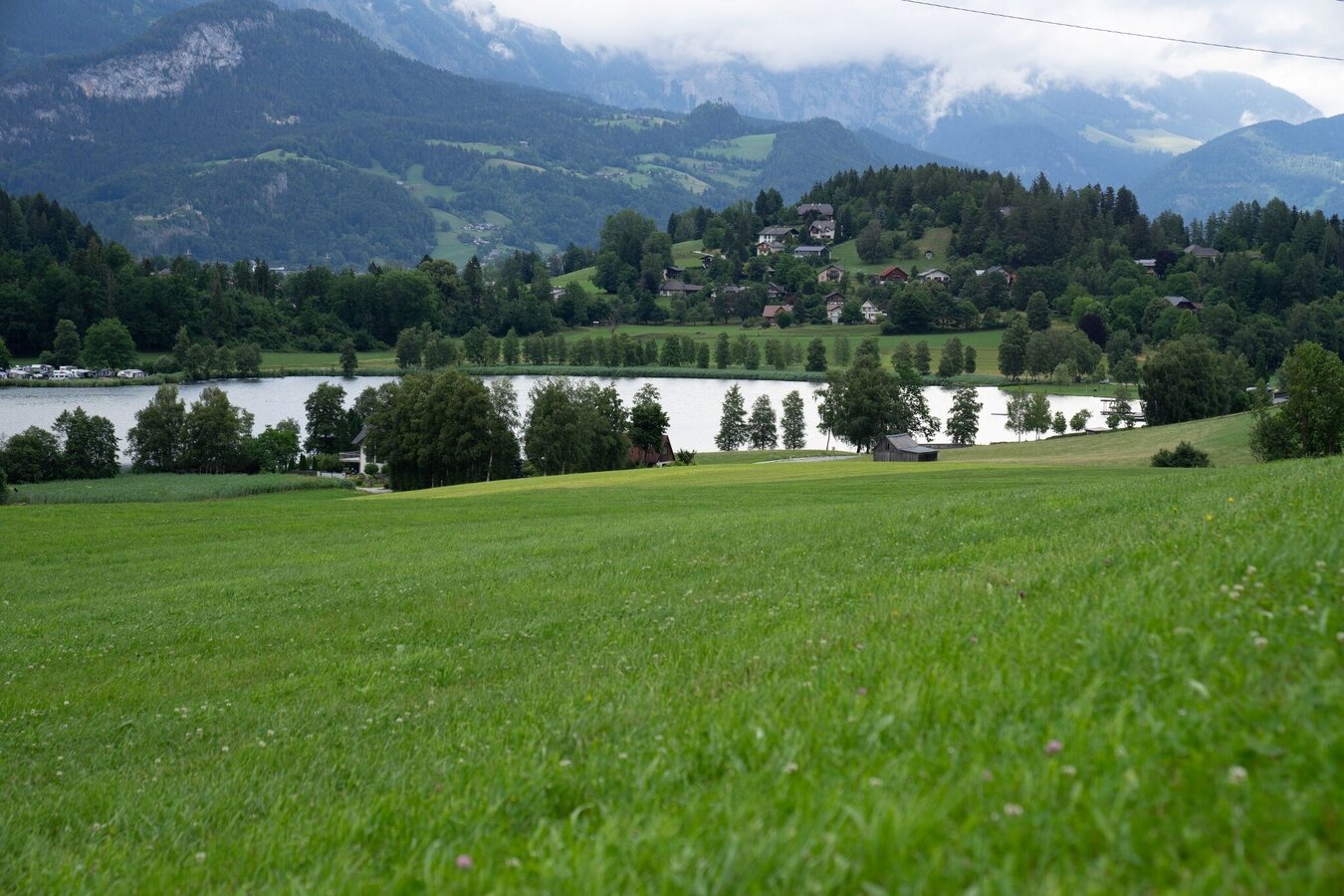
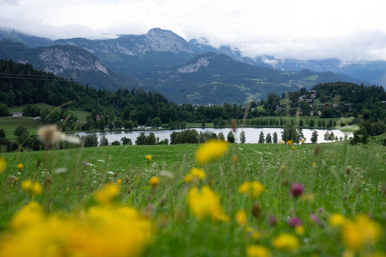
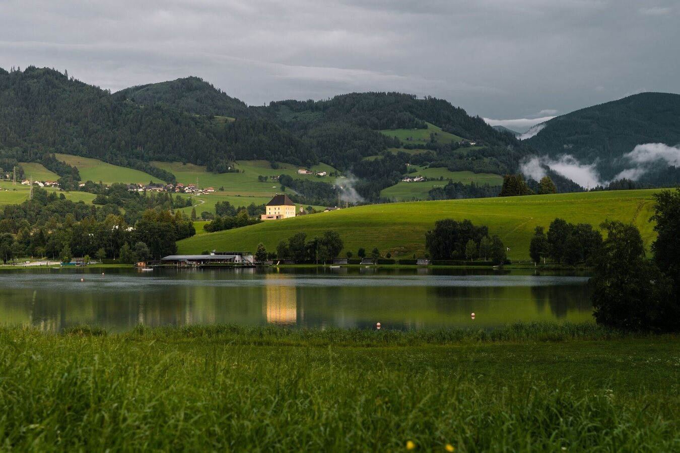
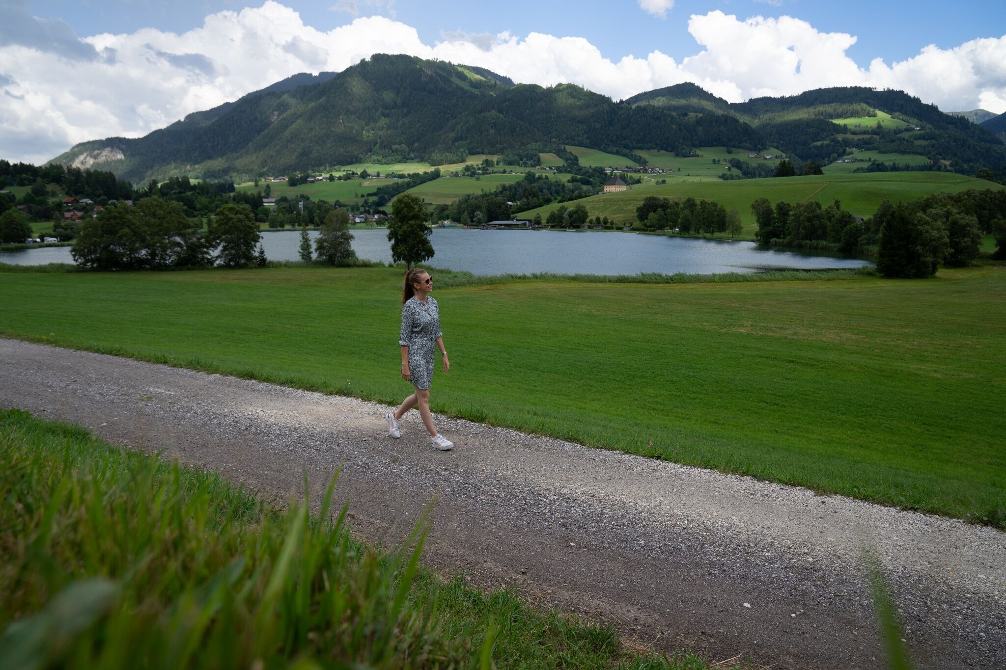
Passing Putterersee and the campsite you stroll on towards Schlattham, before you climb up to Lantschern and back to the starting point to catch a few more rays of sunshine.
The tour
easy
publicly accessible
Starting and end point
Parking at the tennis court
Tour characteristics
Distance: 5.3 km
Information
Distance: 5.3 km
Duration:
1:30 h
Ascent: 65 m
Descent: 65 m
highest point: 697 m
Best season
Jan
Feb
Mar
Apr
May
Jun
Jul
Aug
Sep
Oct
Nov
Dec
Map, elevation profile & further information
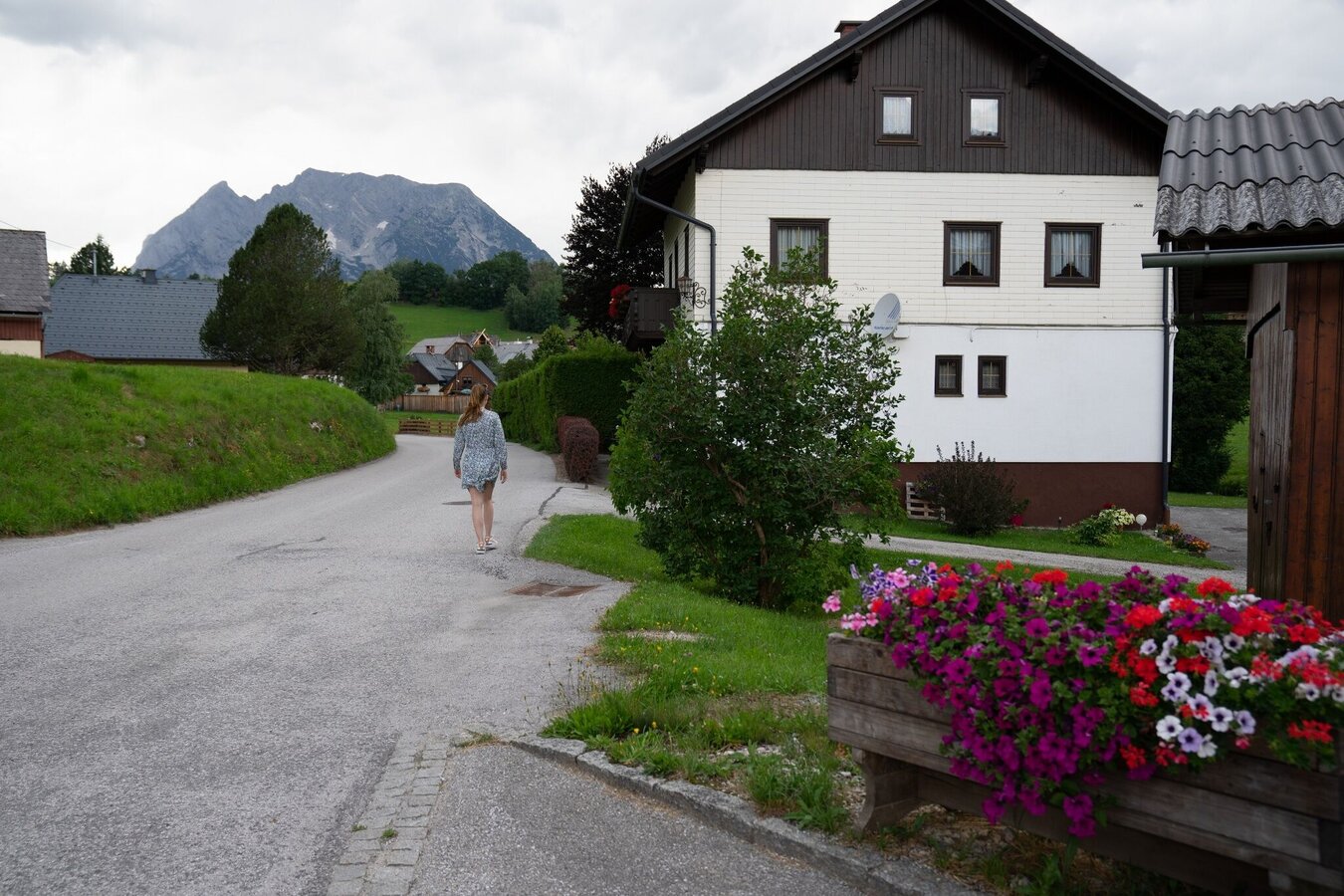
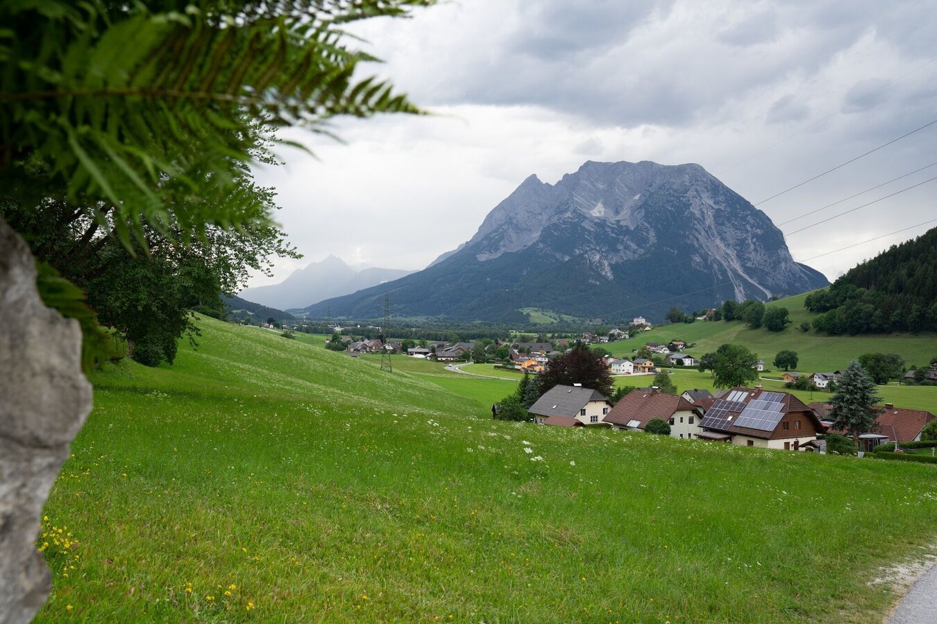
We start at the tennis court. Cross the road, walk past the Putterersee lake to the campsite and along the narrow road to Schlattham. There you cross the main road and continue uphill in the direction of Lantschern. Along the road you go via Niederdorf back to the starting point.
Way number: 4
- Coming from Liezen, turn left in Wörschach and follow the signs for Aigen/Ennstal. In Aigen drive through the village and turn left shortly before the end of town sign and park your car at the large gravel parking lot.
- Coming from Schladming, take the Irdning/Aigen exit at the Trautenfels traffic circle. Drive through Irdning and Schlattham, past the Putterersee lake and shortly after the Aigen town sign turn right to the large parking lot.
With the bus 940/941 to the busstop ,,Aigen Ort'' or ,,Putterersee'' Near there is the start point.
The next trainstation is far away 6 kilometers form Aigen.
- Stay on marked trails and remember to close pasture fences.
- If you are a dog owner: Clarify before the hike if you need to cross a pasture. Keep your dog on a leash and make sure it stays calm. If a cow attacks, let the dog off the leash immediately. Never pick him up to defend him.
A small, fine round for in between, including Nature.Power.Place. Bankerlplatz by the lake.Tourism information: www.schladming-dachstein.at
Tourist Office Schladming-Dachstein
Ramsauerstrasse 756
8970 Schladming
T: +43 3687 23310
info@schladming-dachstein.at
- SCHLADMING-DACHSTEIN Hiking EAST. Available free of charge from tourist offices and accommodation providers.
- SCHLADMING-DACHSTEIN Hiking Map 1:50,000


