Ramsau am Dachstein

Silberkarklamm - Guttenberghaus
Tour description

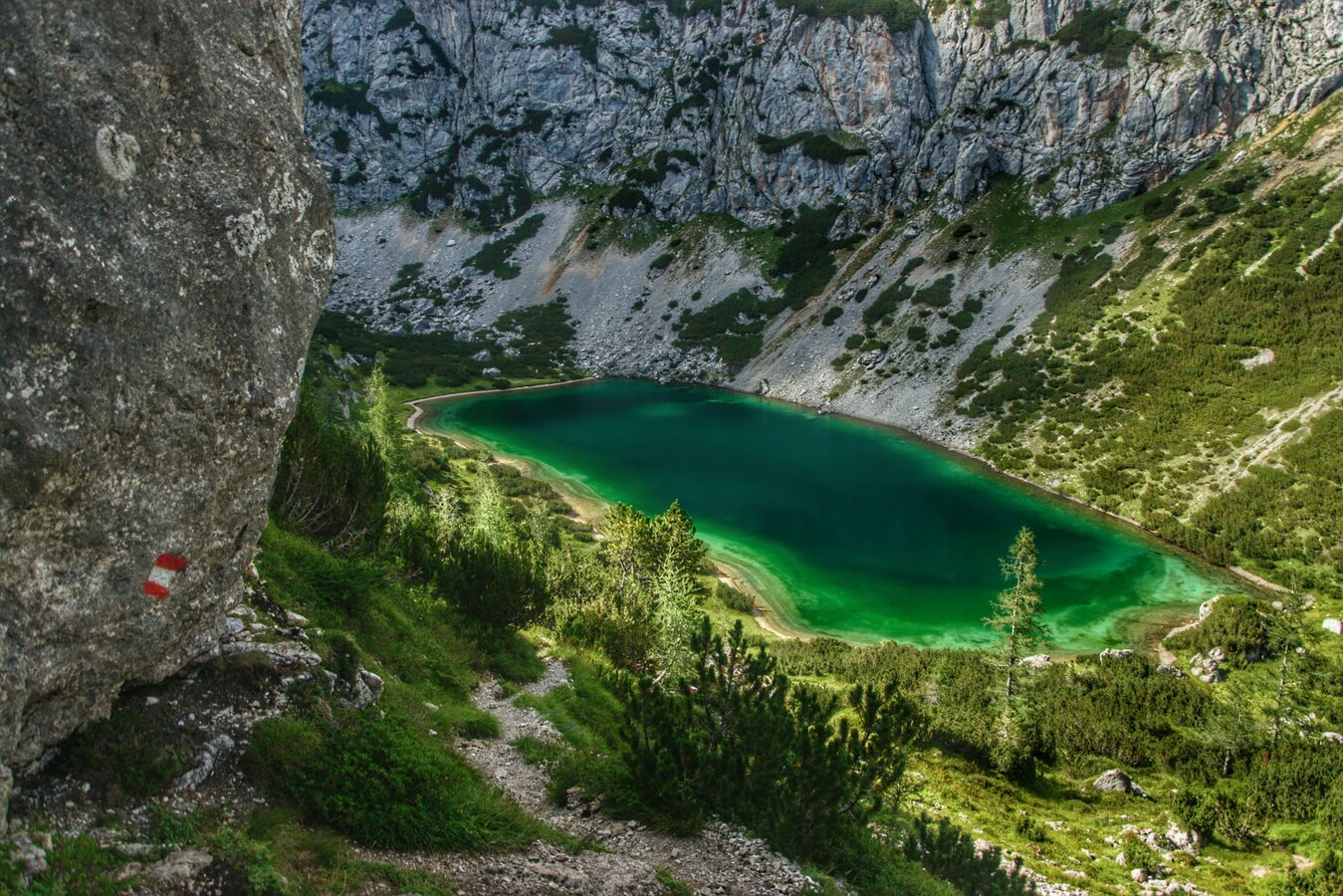
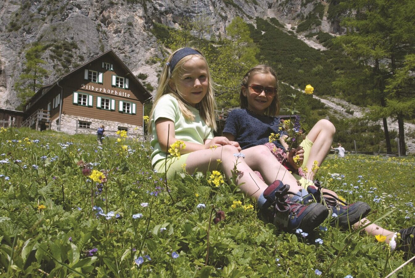
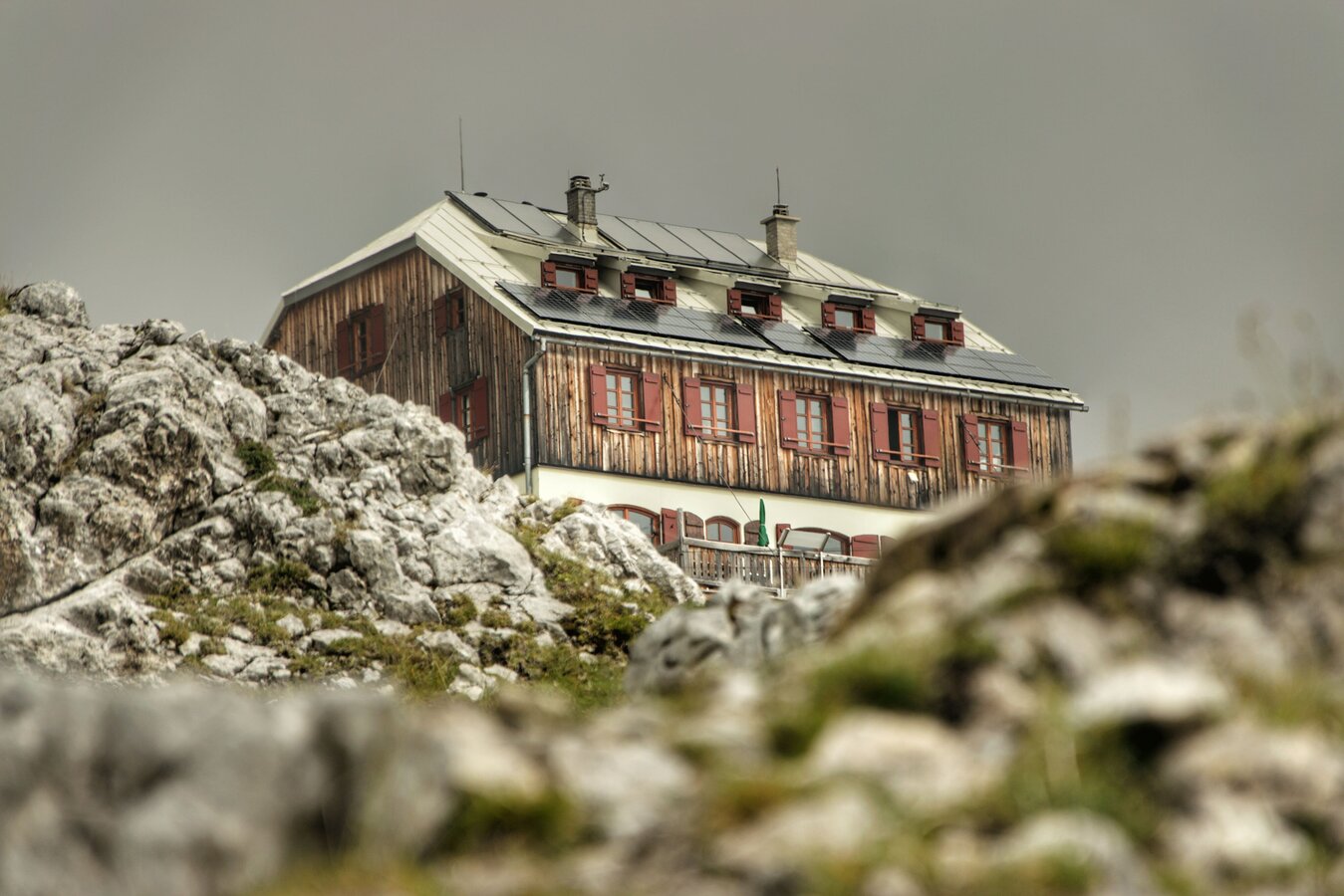
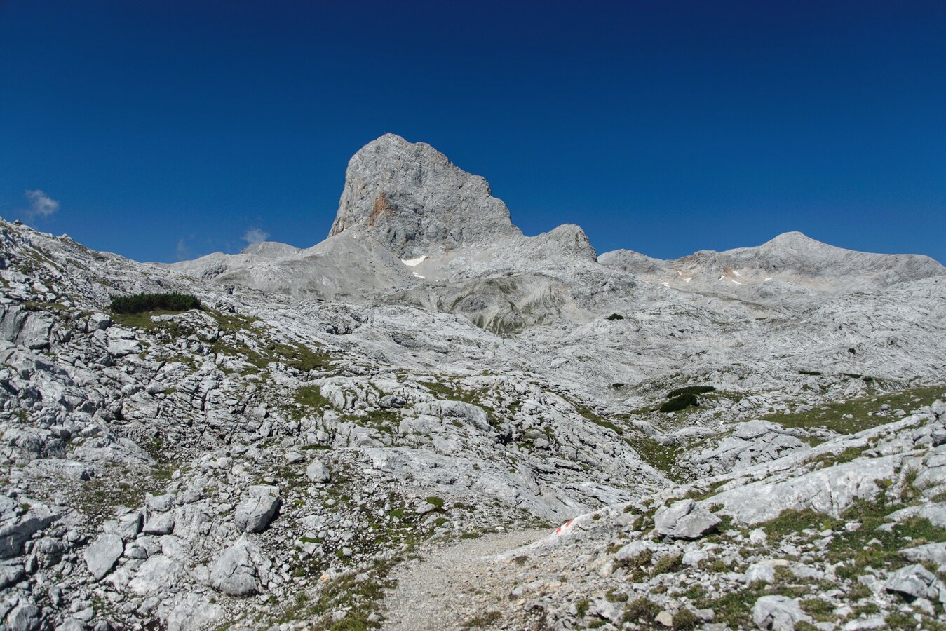
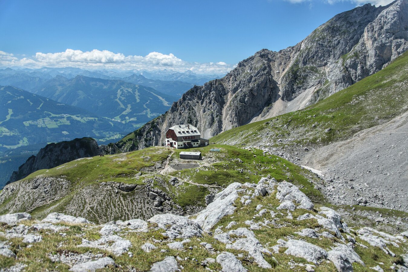
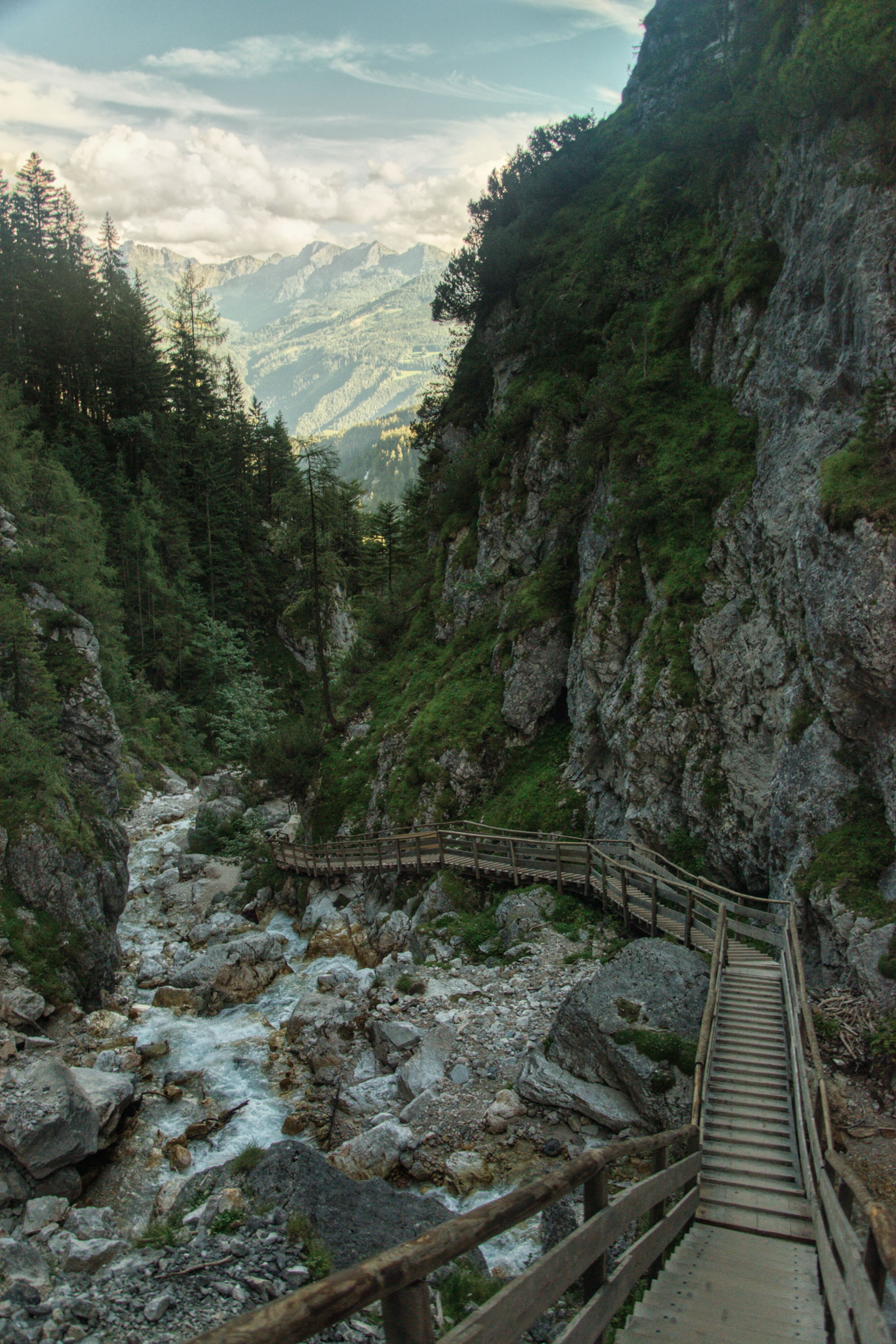
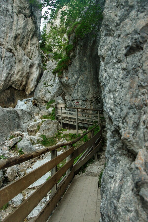
The Silberkarklamm is a romantic white-water canyon in the heart of the Dachstein massif. From the parking lot above the Lodenwalke in Ramsau Rössing, it goes along the Silberkarbach to the entrance of Silberkar (1.050 m). The trail goes through great, wild nature, past alpine plants and animals in their own Ökoraum. At the end of the gorge opens Silberkar. Formerly a cultivated pasture, now destination for young and old. For families with children the Silberkarhütte is usually the end point of a beautiful hike. For others ist the pasture the starting point for hikes, e.g. to the Guttenberghaus.


The tour

moderate
publicly accessible
Starting and end point parking area Silberkarklamm, Ramsau
Tour characteristics
Distance: 13.3 km
Fitness (5/6)
Skills (4/6)
Information
Distance: 13.3 km
Duration: 6:00 h
Ascent: 1330 m
Descent: 1330 m
highest point: 2200 m
Best season
Jan
Feb
Mar
Apr
May
Jun
Jul
Aug
Sep
Oct
Nov
Dec

Map, elevation profile & further information

The Silberkarklamm is a romantic white-water canyon in the heart of the Dachstein massif. From the parking lot above the Lodenwalke in Ramsau Rössing, it goes along the Silberkarbach to the entrance of Silberkar (1.050 m). The trail goes through great, wild nature, past alpine plants and animals in their own Ökoraum. At the end of the gorge opens Silberkar. Formerly a cultivated pasture, now destination for young and old. For families with children the Silberkarhütte is usually the end point of a beautiful hike. For others ist the pasture the starting point for hikes, e.g. to the Guttenberghaus.
by car until parking area Silberkarklamm in Ramsau (Rössing)parking area Silberkarklamm, Ramsau
sturdy shoes, sticks,

Safety information

Safety on the mountainside: changes in the weather, sudden fall in temperature, thunder storms, wind, fog and snow fields are all objective dangers and require the correct behaviour whilst underway. the landlords of the huts are all very knowledgeable about the mountains and can give you good tips about the weather and the routes. Insufficient equipment, exaggerated opinion of ones capabilities, frivolousness, poor health condition and a false evaluation of the situation can lead to a critical situation. In thunder storms: summits, crest-sites and safety rope aids are to be avoided.

If something should happen call following emergency numbers: No. 140 - the number for all Alpine Emergencies in all of Austria No. 112 - European emergency call GSM emergency-call-service

Wheather predicition

today
24.08.2026
Mountain 8 °C
Valley 22 °C
Precipitation
Probability
50 %
Amount
2.4 l/m²
Wind speed
West
10 km / h
Sun
Sun hours
8.6 h
Sunrise
06:13 o clock
Sunset
20:01 o clock

Mostly sunny in the morning, becoming cloudy during the day. Thunderstorms will be likely towards evening.

tomorrow
25.08.2026
Mountain 8 °C
Valley 19 °C
Precipitation
Probability
75 %
Amount
6.9 l/m²
Wind speed
Nordwest
10 km / h
Sun
Sun hours
6.3 h
Sunrise
06:14 o clock
Sunset
19:59 o clock

Dry and fair in the early morning, later frequent thunderstorms.

day after tomorrow
26.08.2026
Mountain 10 °C
Valley 24 °C
Precipitation
Probability
45 %
Amount
1.2 l/m²
Wind speed
West
10 km / h
Sun
Sun hours
9.8 h
Sunrise
06:16 o clock
Sunset
19:58 o clock

Quite sunny with scattered clouds during the day, but a chance of thunderstorms towards evening.

Tours nearby