Grimming-Donnersbachtal

Spechtensee Lake Tour

Tour description

The tour

easy
Starting and end point Hiking trail head Wörschachwalderhof
Tour characteristics
Fitness (2/6)
Skills (2/6)
Information
Distance: 4.7 km
Duration: 1 h 20 min
Ascent: 140 m
Descent: 140 m
highest point: 1134 m
Best season
Jan
Feb
Mar
Apr
May
Jun
Jul
Aug
Sep
Oct
Nov
Dec

Map, elevation profile & further information

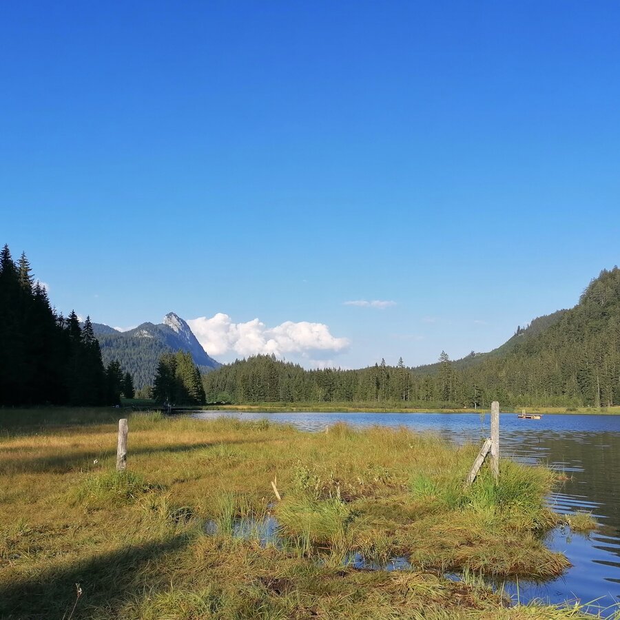
Next to the communal garage you hike on a forest road marked 296 towards Spechtensee. You reach a forest road fork and shortly afterwards you turn right in a clearing and hike over the Seeriedl over to the Spechtensee. On the northern bank there are some nice places to linger, and a little further ahead the Spechtenseehütte invites you to stop off. After a rest, walk along the eastern bank on path #288/#9 and turn right at the end of the moss meadow  onto the Spechtenseerunde around the lake. Now walk west through the valley until you reach the road. Turn right there and after just a few minutes you will be back at the Wörschachwalderhof.

Summer experience map Schladming-Dachstein EAST, available in the tourist offices of the region.

Wheather predicition

today
01.04.2026
Mountain -4 °C
Valley 6 °C
Precipitation
Probability
45 %
Amount
0 l/m²
Wind speed
Nord
25 km / h
Sun
Sun hours
0.3 h
Sunrise
06:43 o clock
Sunset
19:33 o clock

Light snowfall will end in the morning. Afterwards hazy, but dry.

tomorrow
02.04.2026
Mountain -2 °C
Valley 8 °C
Precipitation
Probability
55 %
Amount
1.5 l/m²
Wind speed
Nordwest
25 km / h
Sun
Sun hours
0 h
Sunrise
06:41 o clock
Sunset
19:35 o clock

Considerable cloudiness with light snowfall starting before noon.

day after tomorrow
03.04.2026
Mountain -1 °C
Valley 10 °C
Precipitation
Probability
30 %
Amount
0 l/m²
Wind speed
Nordwest
25 km / h
Sun
Sun hours
1.2 h
Sunrise
06:38 o clock
Sunset
19:36 o clock

Rather cloudy in the morning, then sunny spells will develop gradually.

Tours nearby