Stadium Flowline


Tour description
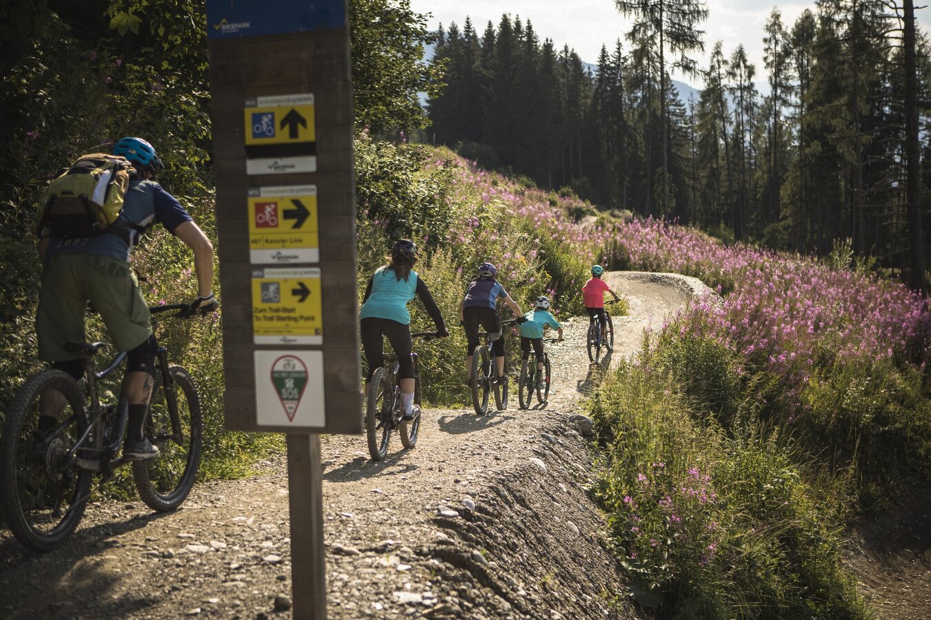
The Stadium Flowline starts at the Planai mid-station and leads all the way down to the finish stadium as a blue trail packed with flow.
Right after the start gate, the trail turns left and winds through a light forest with wide berms and gentle rollers. A bike bridge ensures a safe crossing over the Planai main road.
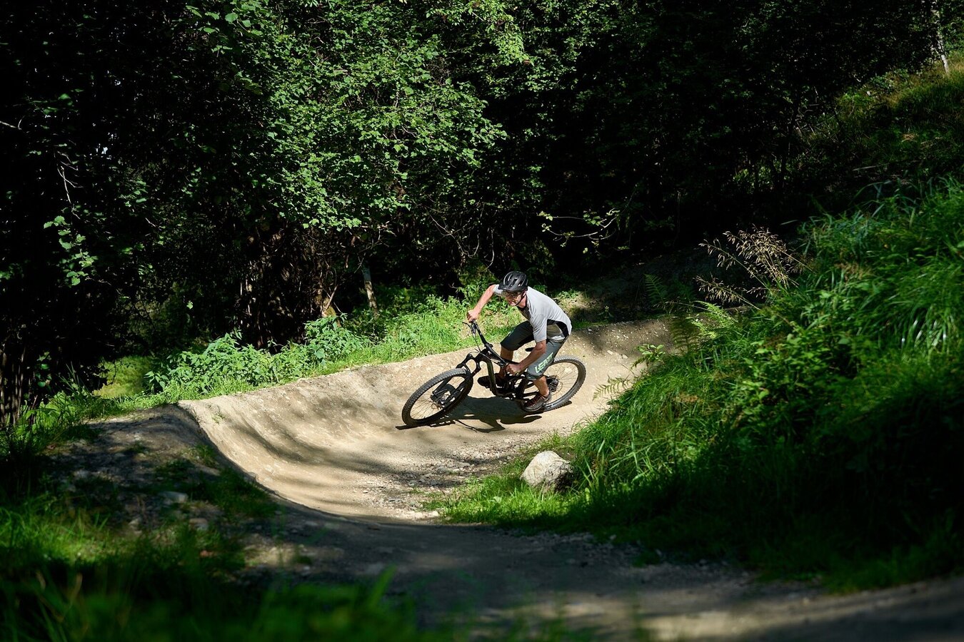
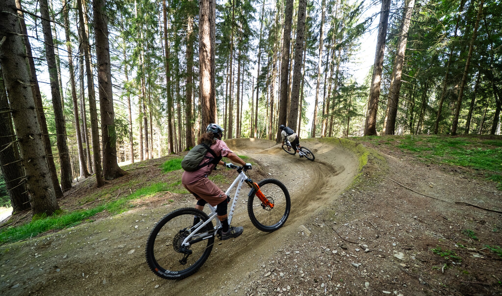
This is followed by the newest section of the trail: varied, with a series of flowing turns and a consistently wide track – perfect for maintaining speed and rhythm.
One of the highlights is the long bike bridge offering impressive views over Schladming. In the final section, the trail continues on a newly built line directly into the Planai finish stadium.
A further section is currently under construction. For now, this part can be bypassed via a short stretch along the main road.
The tour
Map, elevation profile & further information
The Stadium Flowline is a bit more challenging than the Peak Flowline in the upper section. The trail narrows slightly, and the turns are tighter. A real highlight is the long wooden bridge, which offers an unobstructed view of Schladming, the World Championship host city.
Take the Schladming-Ost exit off the B320 Ennstal Federal Highway. At the roundabout (Spar/Salewa Mountain-Sho), take the third exit toward the city center; at the next roundabout, take the third exit again to the Planai Cable Car valley station at the Planai Stadium. From there, take the Planai Cable Car gondola up to the Planai.
There is plenty of parking available at the Planai valley station.
Take the train to Schladming Station or the bus to the Planet Planai stop
The middle section of the route currently still requires riding on the state highway. A connecting section between the two trails is already in the planning stages.
All cyclists must wear protective gear appropriate for their skill level and the chosen route. This includes, at a minimum, a helmet and gloves. Additional protective gear for the back, neck, elbows, and legs is recommended.
It is also mandatory to use a bicycle that is suitable for the trail conditions and properly maintained, e.g., an all-mountain, enduro, freeride, or downhill bike. Riding on the bike park trails with bike trailers, child seats, and similar equipment is prohibited!
Beginners and families should start by trying the Peak Flowline, and once they feel comfortable there, they can move on to the Stadium Flowline.


