Gröbminger Land
Tontschnleiten Runde G2
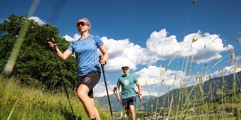
Running tracks
Data:
Tour description
The Tontschnleiten Round G2 in the Gröbminger Land exercise arena is a wonderful hike that leads through a varied and picturesque landscape. The route starts in Gröbming and leads through idyllic meadows and forests, where you can always enjoy impressive views of the surrounding mountains and the Enns Valley. There are numerous nature and resting places along the route that invite you to take a break. With moderate gradients, the trail is also suitable for hikers of all experience levels and offers an ideal opportunity to experience the beauty of the Gröbminger Land in peace and quiet.
The tour
easy
publicly accessible
Starting and end point
Gröbminger Alm
Tour characteristics
Distance: 2.3 km
Fitness (2/6)
Skills (2/6)
Information
Distance: 2.3 km
Duration:
45 min
Ascent: 55 m
Descent: 55 m
highest point: 825 m
Best season
Jan
Feb
Mar
Apr
May
Jun
Jul
Aug
Sep
Oct
Nov
Dec
Map, elevation profile & further information
The Tontschnleiten loop stretches to the south of Gröbming. Passing the Gröbming panorama pool, you reach the Kulmweg trail after a slight ascent. Along this trail, you have a constant view of the village itself as well as the striking Grimming and Mitterberg mountains.
Trail conditions
From Schladming: Leave the B320 Ennstalbundesstraße at the Gröbming exit. After the traffic circle, take the 2nd exit towards Kurpark. Once there, park at one of the parking lots described (Gasthaus zur Post, Gröbming bus station).
From Stainach: Leave the B320 Ennstalbundesstraße at the Gröbming exit. After the traffic circle, take the 3rd exit towards Kurpark. Once there, park in one of the parking lots described (Gasthaus zur Post, Gröbming bus station). These two free parking lots are available:
From Stainach: Leave the B320 Ennstalbundesstraße at the Gröbming exit. After the traffic circle, take the 3rd exit towards Kurpark. Once there, park in one of the parking lots described (Gasthaus zur Post, Gröbming bus station). These two free parking lots are available:
- Parking lot behind the Gröbminger bus station
- Parking lot behind the Gasthaus zur Post
Tourist information: Gröbming information office
- From Schladming: Busline 900
- From Stainach: Busline 901
More information about public transportation: Bus timetable
We recommend the following equipment for a safe tour:
- Comfortable shoes that fit well and are suitable for the terrain.
- Clothing suitable for the weather: Ideally layer principle and breathable clothing
- Drinking water bottle: Especially for longer tours and on warm days
- Smartphone: For emergencies and to find your way
- Sun cream, sunglasses
- First aid kit: If you are out and about for longer or in alpine terrain
- Small snacks for longer tours
Leisurely loop around Gröbming


