Untertal Valley Panoramic Tour
Tour description
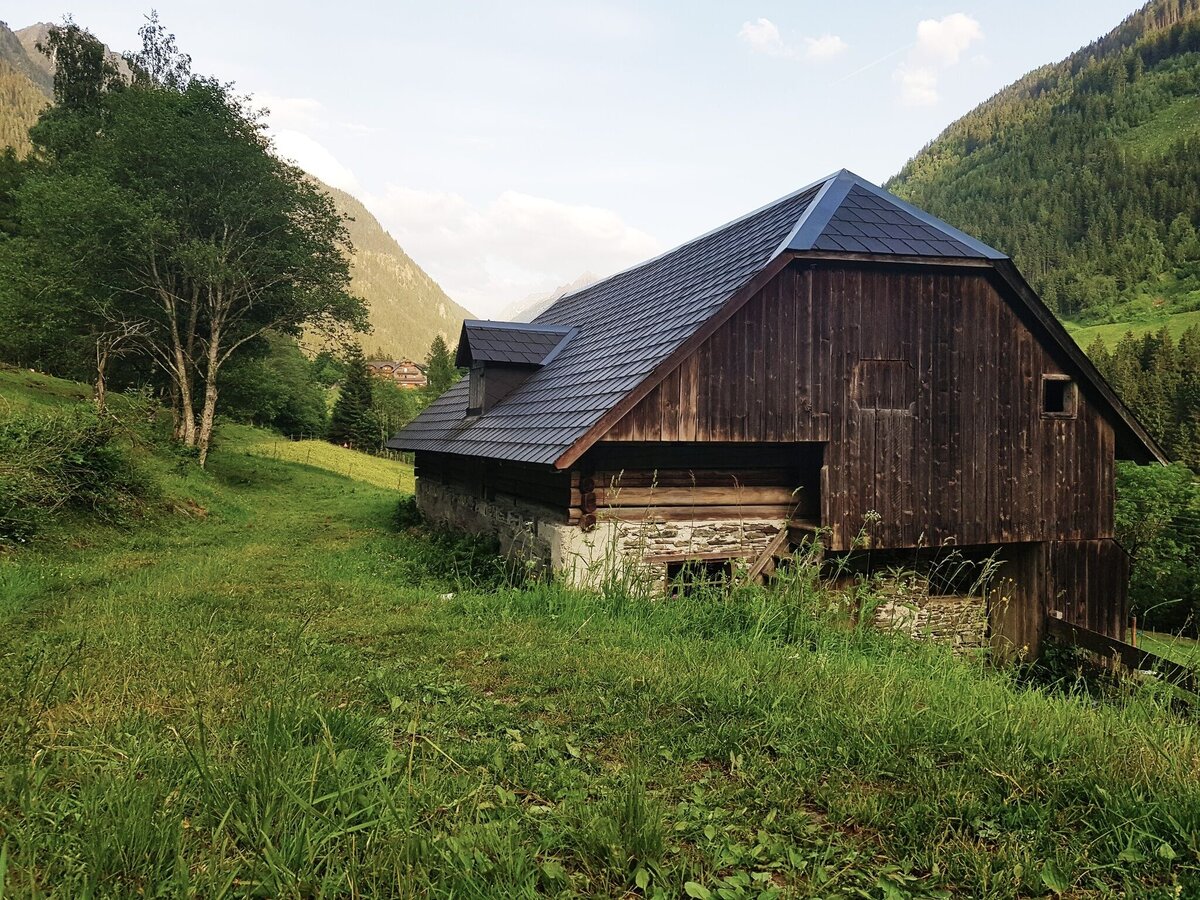
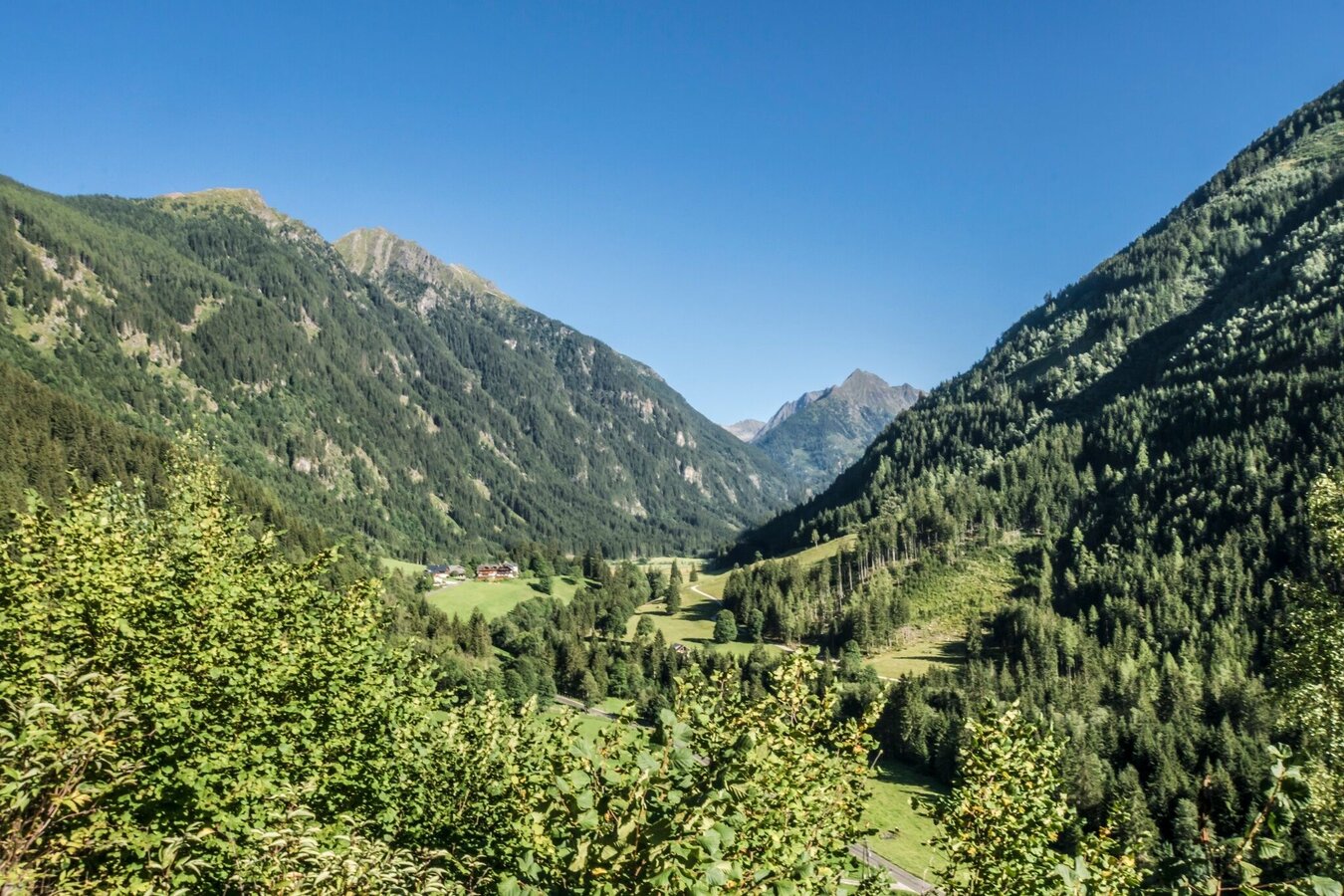
Nostalgia, fauna, flora and sheer limitless panoramic views!
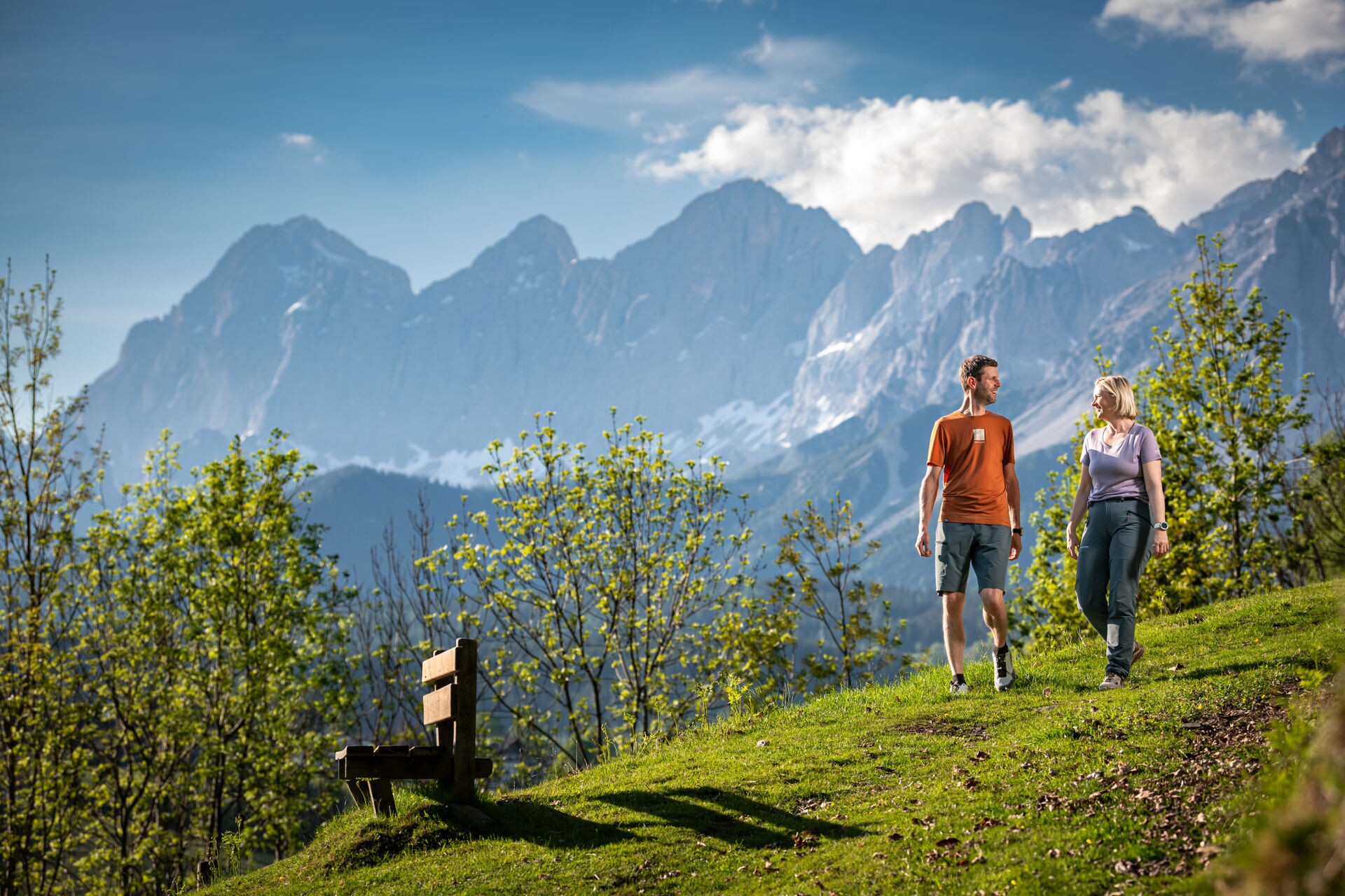
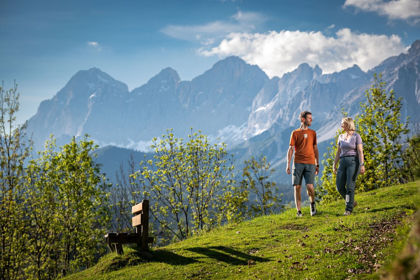
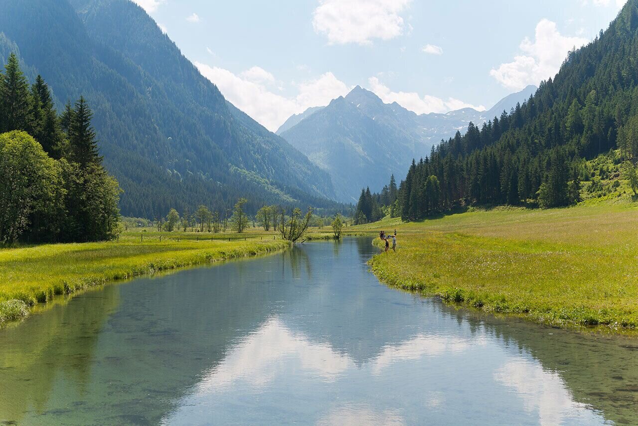
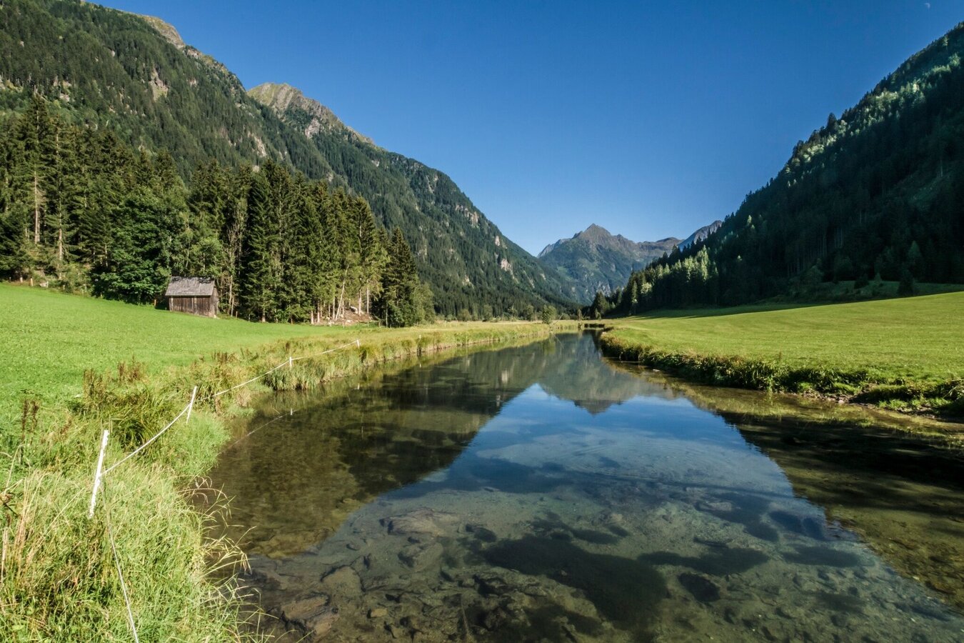
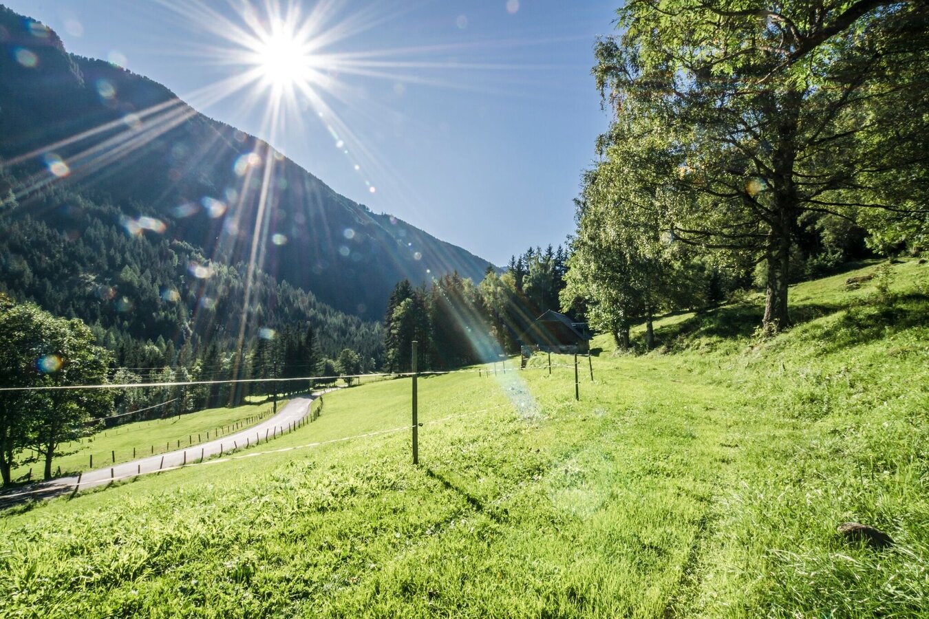
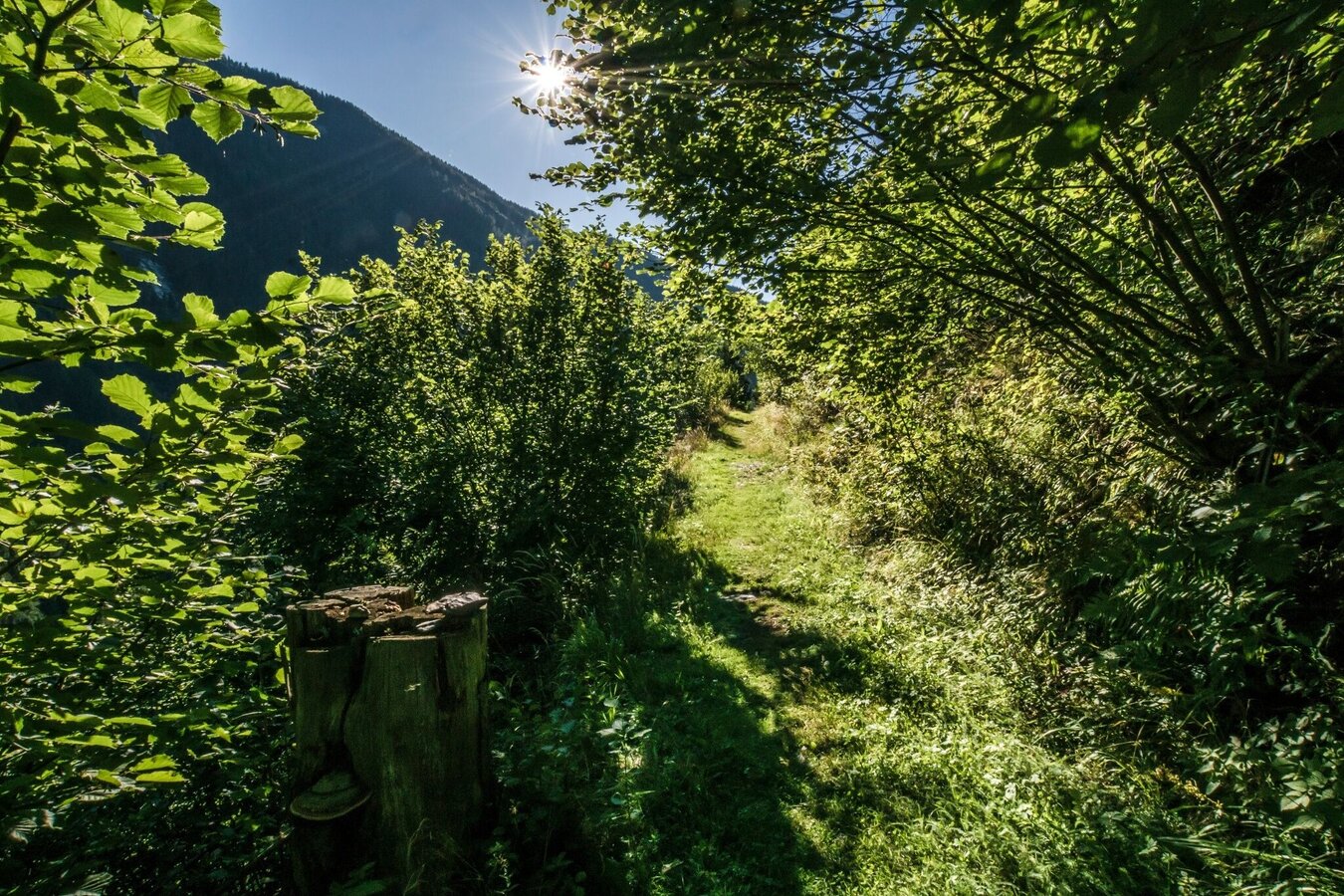
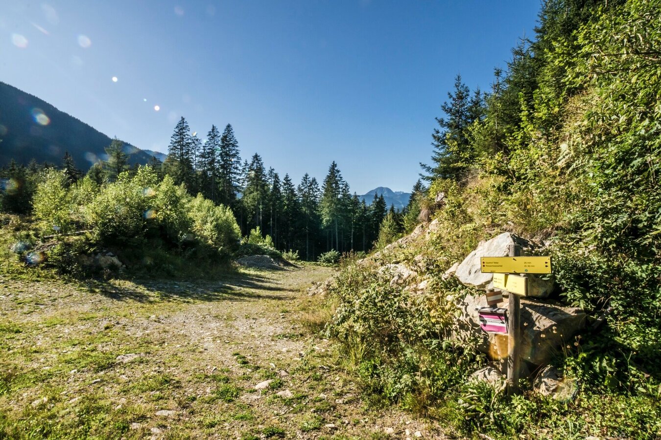
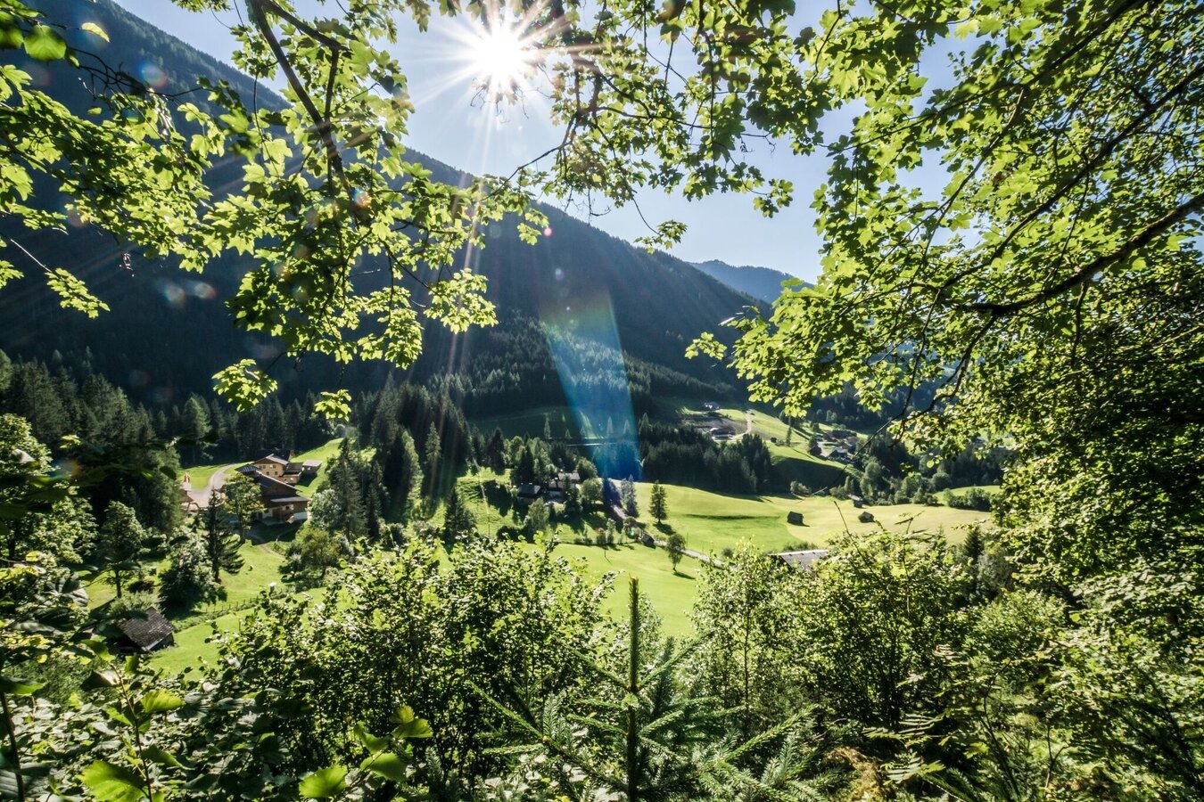
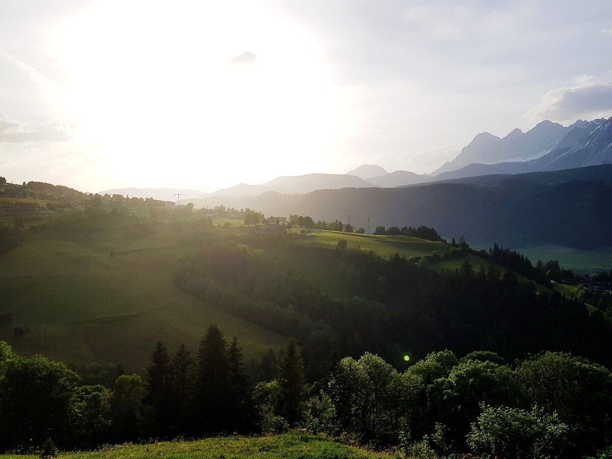
The Untertal Panorama Tour runs along the Untertalbach creek for the first part and then continues along the slopes of Planai back to the village of Untertal - the Dachstein massif always in your view.
The tour
Map, elevation profile & further information
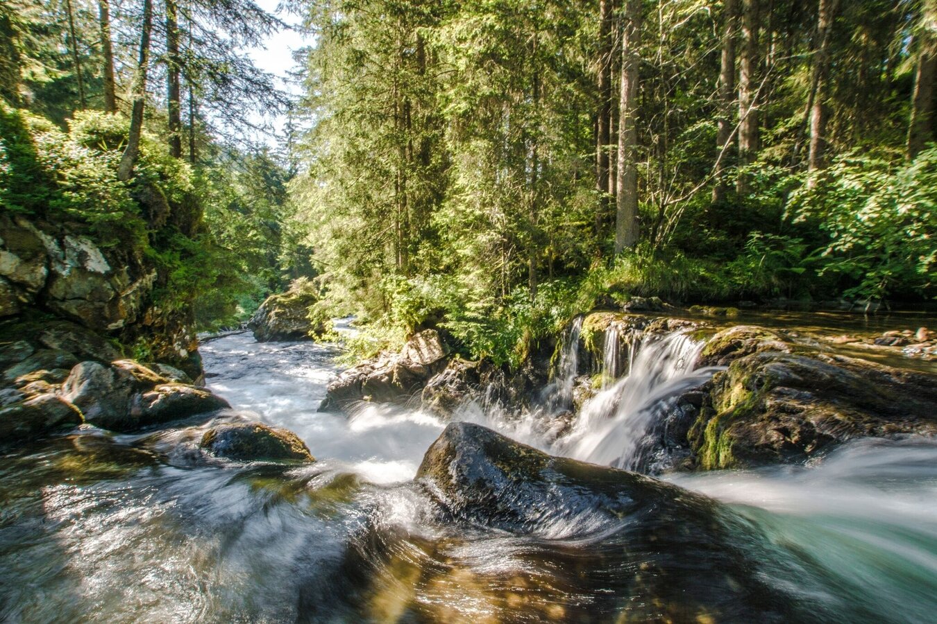
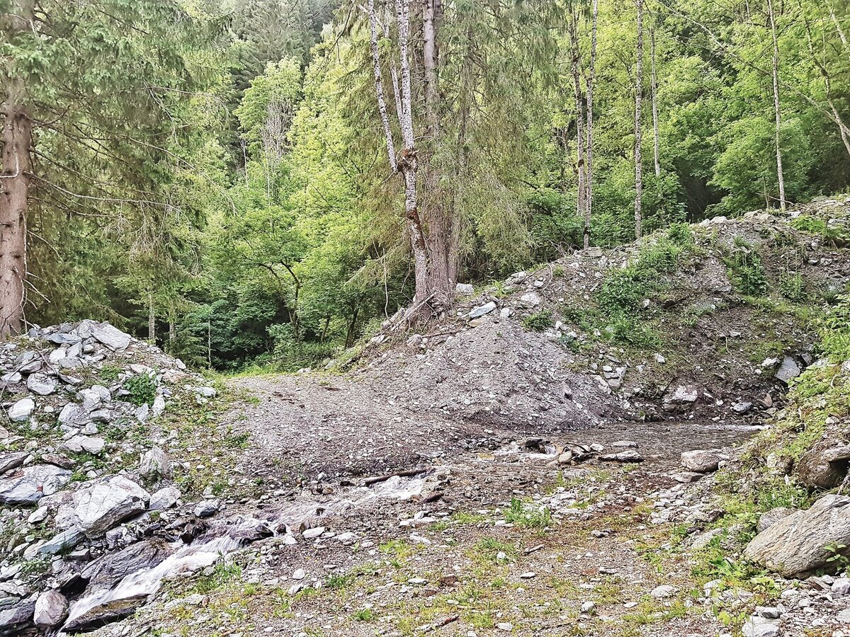
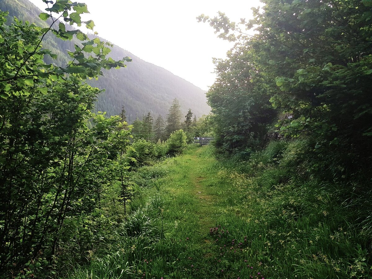
Gestartet wird taleinwärts auf dem Themenweg Wilde Wasser entlang des Untertalbaches. Nach dem »Ahlhof« geht es über eine Wiese in den Wald, und Du wanderst über Wiesen nun leicht ansteigend zum Gföllerhof. Entlang der Straße spazierst Du nun taleinwärts bis Du bei der Janerbrücke auf die Untertalstraße triffst. Dieser folgst Du ca. 200 m bis zur Hinkerbrücke, wo Du rechts vor der Brücke Richtung zu einem weiteren Naturhighlight - dem Toteisboden - abbiegst. Das Steilhangmoor wirkt als „natürlicher Kühlschrank“.
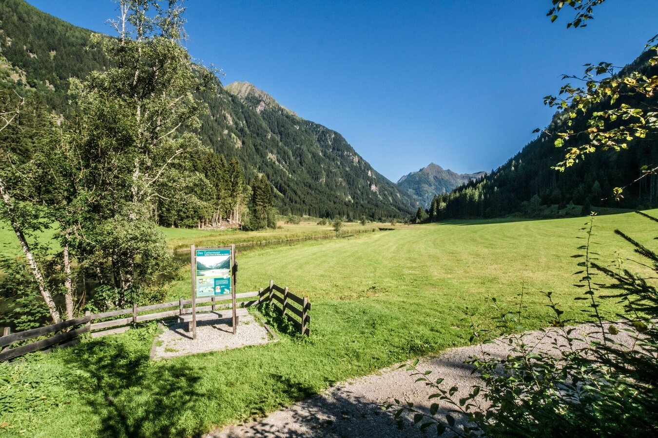
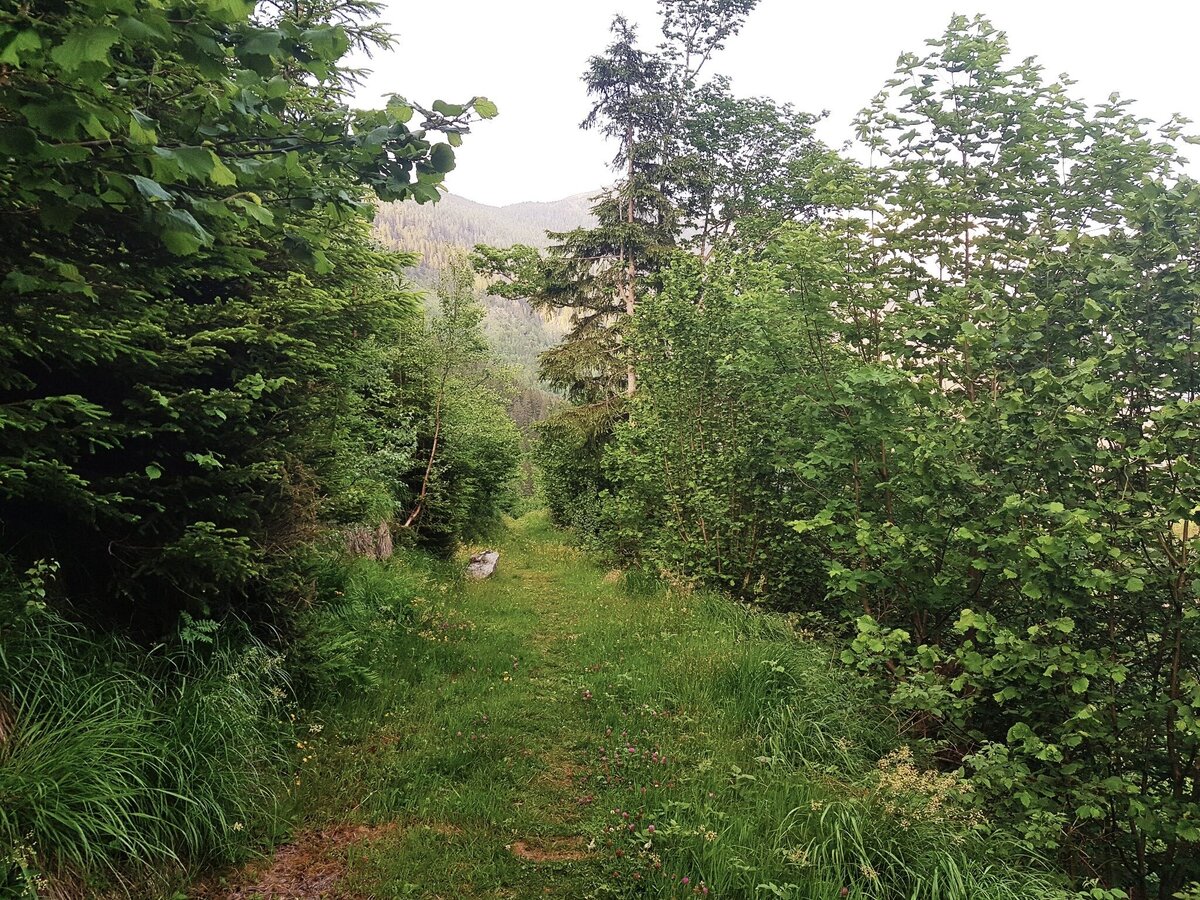
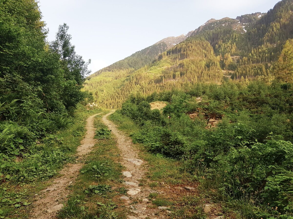
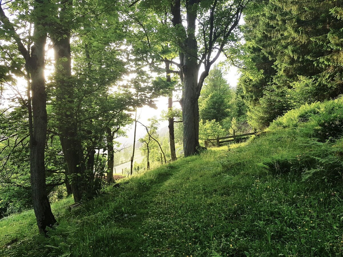
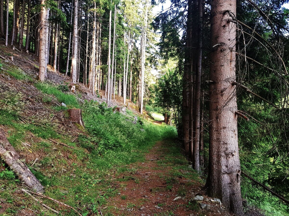
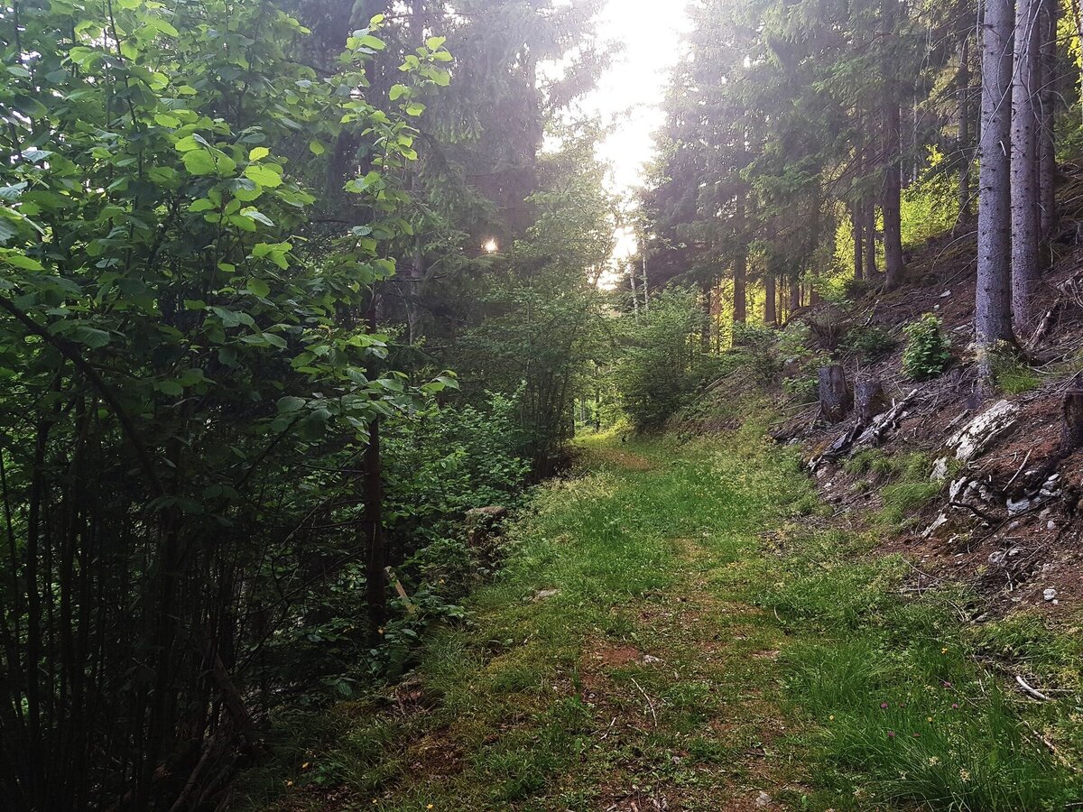
Bei Erreichen des Tettermoores führt der Weg links über den Untertalbach zum Gasthof Tetter. Von dort ca. 200 m entlang der Straße talauswärts, bevor rechts der »Gföllweg« abzweigt. Diesem schönen Wald- und Wiesenweg mit wunderbaren Aussichtspunkten folgt man bis ca. 500 m nach dem Anwesen »vlg. Wieser«, wo man links auf den Weg zum vlg. »Fenz« (in Richtung Schladming/Talbachklamm) abbiegt. Beim Bauerhof vlg. Fenz angelangt wandert man über den Spreitzweg zurück zum Ausgangspunkt in Untertal-Dorf.
Parking is available at the hiking trail head in the village of Untertal.
- Buses of Planai-Hochwurzen-Bahnen: www.planaibus.at
Changes in weather patterns, quick falls in temperature, thunderstorms, wind, fog and snow are some of the dangers that can be encountered on a hiking tour. Hosts of alpine huts and mountain refuges have a lot of experience in the mountains and can give good advice about weather and the trails. Poor equipment, overestimation of one's own capabilities, carelessness, poor personal constitution and/or wrong judgement can lead to critical situations. In case of thunderstorms: avoid summits, ridges and steel ropes.
GPS data and orienteering
Available GPS data - just like hiking maps - is only a guidance for orientation and can never depict a trail exactly with all its details. Especially at dangerous spots it is essential to judge on site how to proceed.
In an emergency please call:
- 140 - for Alpine emergencies (all over Austria)
- 112 - European GSM emergency number
Eine verlängerte Variante über die Talbachklamm ist möglich. Zusätzliche Gehzeit: 1 Stunde
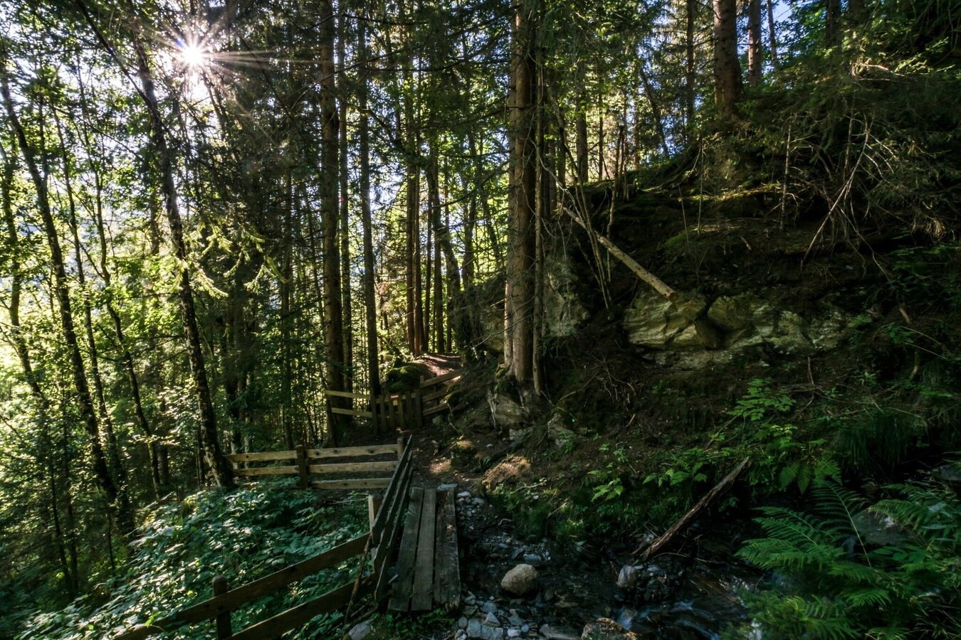
Für diese Variante beim vlg. Fenz rechts weiter, vorbei am Spreizhof und durch den Wald bergab bis in die Talbachklamm. Links - durch die Klamm - geht es nun zurück zum Ausgangspunkt in Untertal-Dorf.
Tourismusinformation: www.schladming.com
Infos über Busverbindungen: www.planaibus.at
360°-Bilder
Einen Überblick über Schladming kannst Du Dir mit Hilfe unserer 360°-Bilder verschaffen:
Blick in den Unteren Bereich der Talbachklamm: https://vonoben.schladming-dachstein.at/sommer/index.php?S=58
- Wanderkarte Schladming, 1:25.000, erhältlich im Tourismusverband Schladming.
- Wanderkarte Schladming-Dachstein, 1:50.000, erhältlich im Tourismusverband Schladming.
- "Wandern - Laufen - Walken" - erhältlich beim Tourismusverband Schladming.