Gröbminger Land
Weitwanderweg Gröbming
Nordic walking
Data:
Tour description
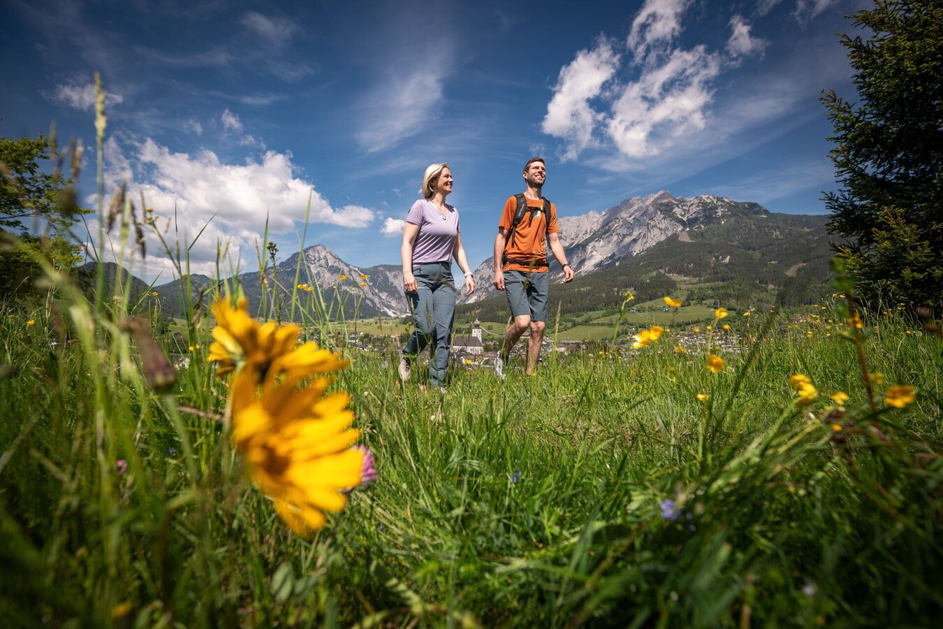
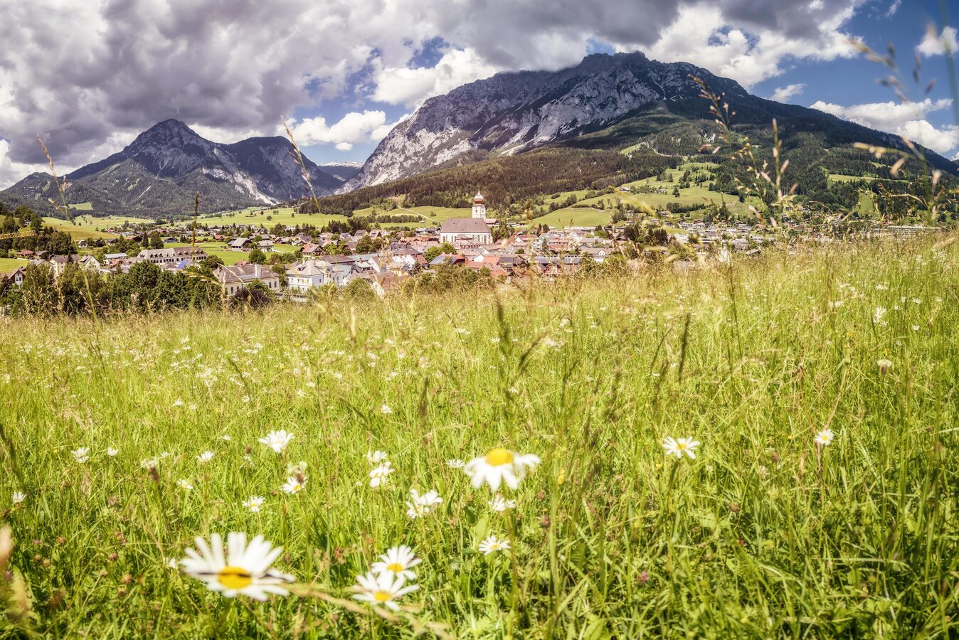
The start is in the centre of Grömbing. After a first ascent over the Hofmanning, a marvellous panorama opens up with views of Gröbming, the Stoderzinken and the surrounding mountains of the Schladminger Tauern. After approx. 2.5 km, wooden waves invite you to relax and recharge your batteries. The loop continues via the district of Winkl, Weyer, Mautdörfl and back to the village centre via the Gröbming racecourse. A somewhat longer circular hike, but all the more varied and impressive the views!
The tour
partially open
difficult
publicly accessible
Starting and end point
Gröbming town centre
Tour characteristics
Distance: 10.639 km
Fitness (2/6)
Information
Distance: 10.6 km
Duration:
3:00 h
Ascent: 201 m
Descent: 193 m
highest point: 917 m
Best season
Jan
Feb
Mar
Apr
May
Jun
Jul
Aug
Sep
Oct
Nov
Dec
Map, elevation profile & further information
From Salzburg: A 10 Tauernautobahn to Altenmarkt/Pongau junction - B 320 Ennstalbundesstraße - Gröbming
From Graz: A 9 Phyrn Motorway to St. Michael junction - Liezen B 320 to Gröbming
From Linz: A 9 Phyrnautobahn to Liezen (Bosrucktunnel MAUT!! or Phyrnpass) - B 320 to Gröbming
suitable footwear, weatherproof clothing


