Gröbminger Land
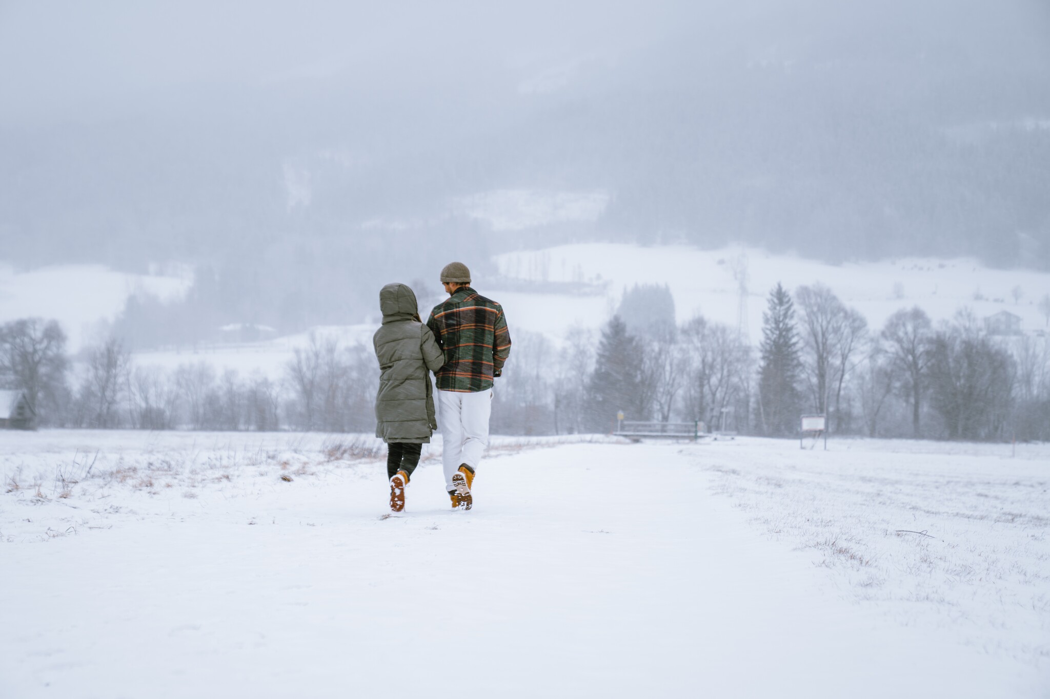
Winter hike Niederöblarner Teichrunde
Winter walking
Data:

copyright: Christoph Lukas

copyright: Christoph Lukas

copyright: Christoph Lukas

copyright: Christoph Lukas

copyright: Christoph Lukas

copyright: Christoph Lukas
Tour description
In just half an hour, this leisurely walk takes you from the Grimming Sports Area to the peaceful village of Ennsau near Niederöblarn. There, you can enjoy a leisurely stroll along a flat trail around Niederöblarn Pond.
The tour
easy
publicly accessible
Starting and end point
Sportsare Grimming Niederöblarn
Tour characteristics
Distance: 2.1 km
Information
Distance: 2.1 km
Duration:
30 min
Ascent: 10 m
Descent: 10 m
Best season
Jan
Feb
Mar
Apr
May
Jun
Jul
Aug
Sep
Oct
Nov
Dec
Map, elevation profile & further information
Starting at the Sportsarea Grimming in Niederöblarn, walk toward Niederöblarner Teich. Take a leisurely stroll along the flat trail around the pond, then follow the dirt path alongside the railroad tracks back to the entrance of the Sportsarea Grimming.
From the A10: At Altenmarkt (Exit 63), turn toward Graz. Follow the B99 to Radstadt. From there, take the B320 toward Graz. At Pruggern, follow the sign for Öblarn—continue on to Niederöblarn and, as you enter the town, turn left toward the Sportsarea.
From the A9: At Selzthal (Exit 69), turn toward Liezen/Radstadt. From Liezen, take the B320 to Espang. There, turn toward Öblarn. At the entrance to Niederöblarn, turn right toward the Sportsarea.
From the A9: At Selzthal (Exit 69), turn toward Liezen/Radstadt. From Liezen, take the B320 to Espang. There, turn toward Öblarn. At the entrance to Niederöblarn, turn right toward the Sportsarea.
Sportsarea Grimming
Niederöblarn can be reached with the ÖBB regional trains (www.oebb.at).
In winter, caution is advised even on seemingly easy hikes. In shady areas, the ground can be slightly icy, and there may be avalanche danger below slopes. Mountaineering is therefore primarily a matter of personal responsibility – even more so in winter. Tourist associations and avalanche warning services assume no liability whatsoever based on the information provided.
Your equipment should ideally include:
Your equipment should ideally include:
- Ankle-high, warm shoes. Waterproof, warm shoes with a treaded sole are ideal. Optional: Gaiters for additional snow protection.
- A hood and warm clothing, ideally layered. Don't forget a change of clothes for longer winter hikes: a wind and waterproof jacket and trousers.
- A small backpack with a warm drink in a thermos and snacks as needed
- Sun protection
- Cell phone
- First aid kit
- Optional: crampons/snow spikes (snow chains for shoes), telescopic hiking poles for better grip and balance.
SummitLynx- Your digital summit and hut book - available worldwide and always with you!For more information, please contact the Schladming Dachstein Tourist Office:
Phone: +43 3687 23310
mailto:info@schladming-dachstein.at
The brochure “Schladming-Dachstein Winter experience map" is available in all information offices in the region.
Phone: +43 3687 23310
mailto:info@schladming-dachstein.at
The brochure “Schladming-Dachstein Winter experience map" is available in all information offices in the region.


