Guttenberghaus - Stoderzinken | Dachstein Circular Hiking Trail: Stage 04
Tour description
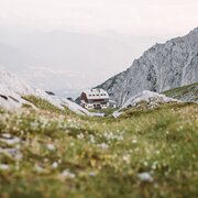
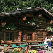
From the stony high mountains we go steadily downhill until we see forests and meadows again and finally arrive at the Steinerhaus am Stoderzinken, the stage destination.
Further information and offers on "Hiking without luggage".
The tour
Map, elevation profile & further information
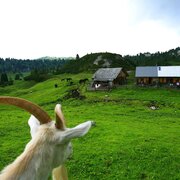
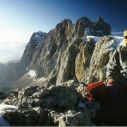
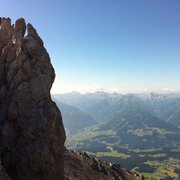
We start the fourth day with a small ascent to the Feisterscharte. Then we follow trail 618 over the northern slope of Sinabell in an easterly direction past rocks, mountain pines and gorges. After about three to four hours we arrive at the Grafenbergalm, where we slowly hike back into the forest from the high alpine area of the tour. After the barren rocky landscape we find meadows and forests again as a contrast. We are here in a large hiking area and accordingly there are many different hiking trails, so we have to take care that we stay on our way with the No. 618 towards the west. Here there is another beautiful view point back to the glacier. We walk through a dense forest and on a serpentine road past the Brunnerhütte, up to our destination - the Steinerhaus.
This tour leads through alpine height, therefore you should be aware of sudden weather changes.
sturdy shoes, rainproof clothes, backpack, enough to drink and snacks, sleeping bag if necessary
Parts of this stage are part of the nord route of the wide hiking trail "From glacier to vine"


