Grimming-Donnersbachtal
Roundway Mörsbach
Hiking trail
Data:

copyright: Christoph Lukas
copyright: Christoph Lukas

copyright: Christoph Lukas
copyright: Christoph Lukas
copyright: Christoph Lukas
copyright: Christoph Lukas
copyright: Christoph Lukas
copyright: Christoph Lukas
copyright: Christoph Lukas
Tour description
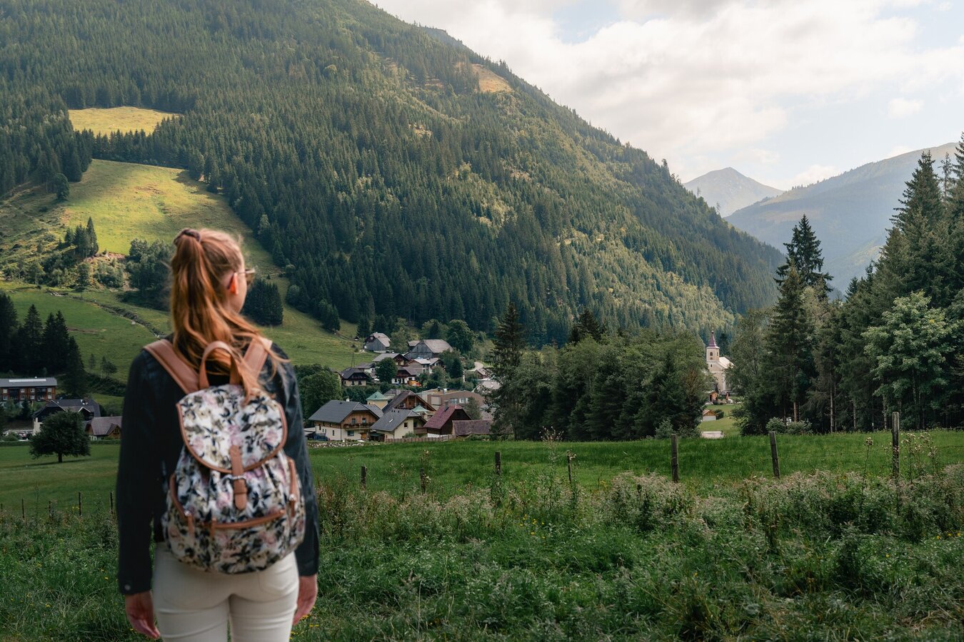
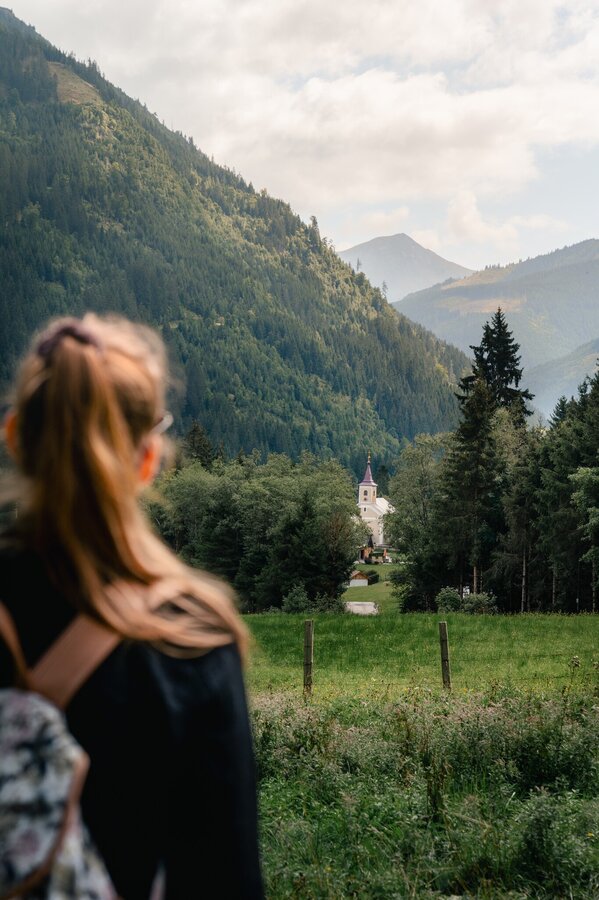
AT ANY TIME. If your head needs a quick breath of fresh air, this is the perfect round. Past the cemetery to the first bridge, there sharp right and via Pension Gams back to the starting point.
The tour
easy
Starting and end point
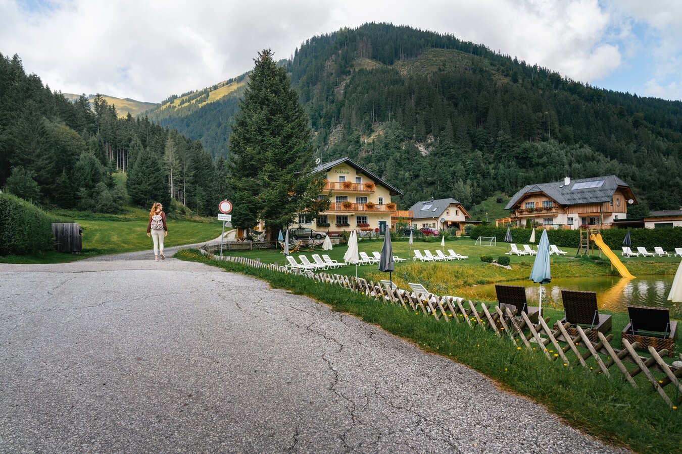
Parkingplace village center Donnersbachwald
Tour characteristics
Information
Distance: 1.8 km
Duration:
30 min
Ascent: 45 m
Descent: 45 m
highest point: 1012 m
Best season
Jan
Feb
Mar
Apr
May
Jun
Jul
Aug
Sep
Oct
Nov
Dec
Map, elevation profile & further information
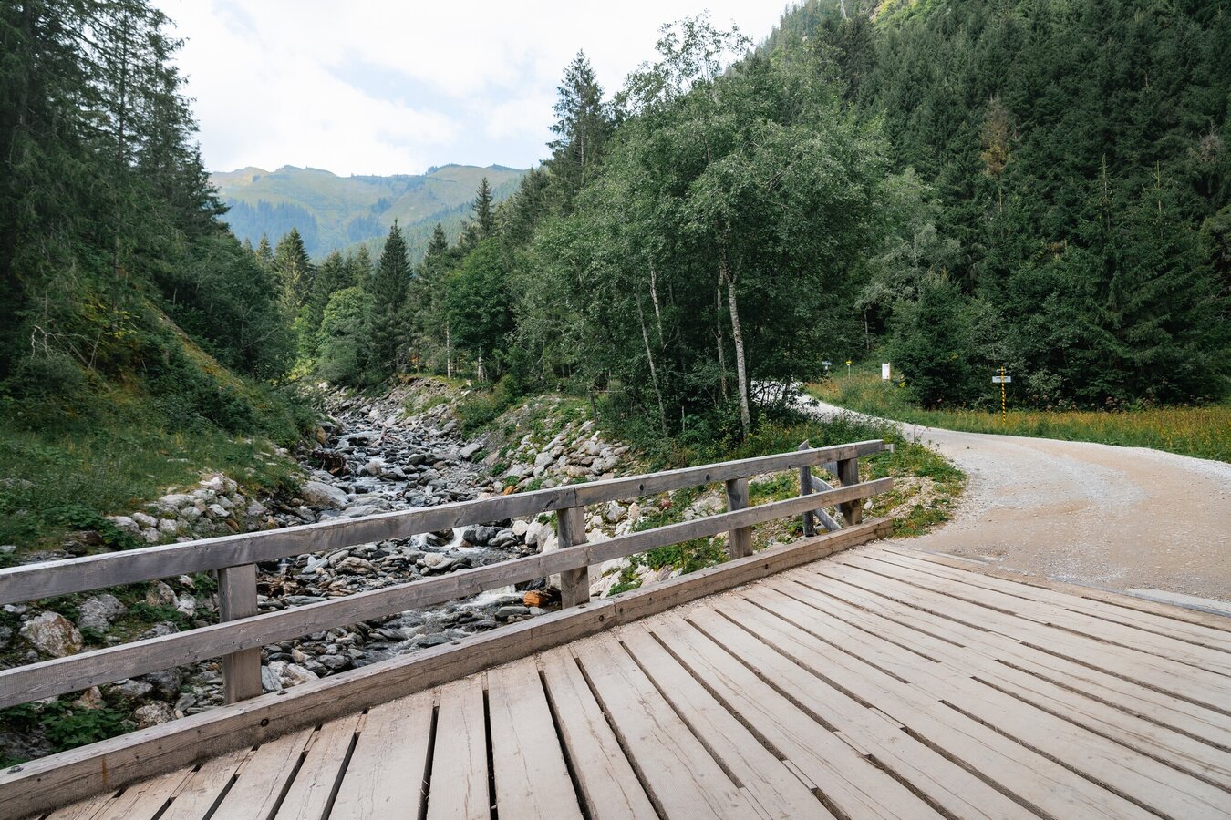
You start from the village parking lot, walk past the Hotel Stegerhof and continue along Forstraße until you cross the Mörsbach. Shortly thereafter, take a sharp right turn. Here at the bench and at the highest point you can take a short rest. At the next junction keep right and cross the pension "Zur Gams" to the main road and back to the starting point.
Way number: 2
Coming from the B320, at the traffic circle Trautenfels in the direction of Irdning. Then direction Donnersbach, Donnersbachwald.Free Parking at the village center Donnersbachwald.
With the bus 941 to the busstop ,,Donnersbachwald Ort''. There is also the start point of the tour.
Between summerholidays gives no bus-conections.
Good shoes and clothes.
- Plan your trip in advance, taking into account walking time, distance, elevation gain, hazards, and weather reports.
- Let others know where you are going and when you want to be back.
- Turn back in time if the weather deteriorates.
- Stay on the marked trails.
- If you are a dog owner: keep your dog on a leash and make sure it is quiet.
- The tourist office does not assume any liability based on the information provided.
Also a good roundway for the evening.
Tourism information: www.schladming-dachstein.at
Tourist Office Schladming-Dachstein
Ramsauerstrasse 756
8970 Schladming
T: +43 3687 23310
info@schladming-dachstein.at
- SCHLADMING-DACHSTEIN Hiking EAST. Available free of charge at tourist offices and lodging establishments.
- SCHLADMING-DACHSTEIN Hiking Map (1:50.000)


