Schladming
Small Riesach Waterfall Tour
Waterway
Data:
01.11. - 30.04.2026
Tour description
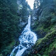
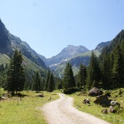
The short walk takes you to Lower Riesach Waterfall in Untertal valley. Riesach waterfalls are the talles waterfall in the province of Styria. The force and energy of water is most impressive in spring during snowmelt.
The tour
easy
publicly accessible
Starting and end point
Seeleiten car parking, Untertal valley
Tour characteristics
Information
Distance: 0.7 km
Duration:
20 min
Ascent: 25 m
Descent: 25 m
highest point: 1103 m
Best season
Jan
Feb
Mar
Apr
May
Jun
Jul
Aug
Sep
Oct
Nov
Dec
Map, elevation profile & further information
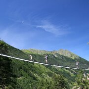
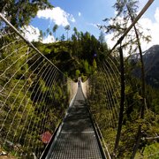
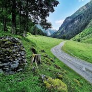
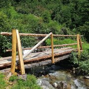
From Seeleiten car park cross the bridge to Almgasthaus Riesachfall inn and walk past it on the "Kleine Riesachwasserfallrunde" trail. After a few minutes you reach the Lower Riesach Waterfall and the wooden bridge, that crosses the torrent below the waterfall. Cross the bridge and walk back to the car park via the forestry road. The trail is suitable for prams.
From Schladming take provincial highway L722 (Rohrmoosstraße road) to Rohrmoos and at the roundabout continue on provincial highway L723 (Tälerstraße road) towards Untertal. In the village of Untertal continue on "Untertalstraße" road to "Seeleiten" car park, which is located at the valley head.Parking is available at Seeleiten car park (parking fee).
With the Planai buses from Schladming (Planet-Planai, Lendplatz) or Rohrmoos (Rohrmoos-Zentrum) to Untertal - bus stop "Riesachwasserfall" (final stop).
- Buses of Planai-Hochwurzen-Bahnen: www.planaibus.at
Due to the spray, the trails around the waterfalls are constantly wet - be careful! Hiking or trekking shoes with grip sole, jacket.
The trail is also suitable for prams.
Tourist information: www.schladming.com
Information about bus schedules: www.planaibus.at
- Hiking map ‘Hiking WEST’ available at the information offices in the region.
- Schladming hiking map, 1:25,000, available at the Schladming information office.
- Hiking map Schladming-Dachstein, 1:50,000, available at the information offices in the region.
- Hiking guide Schladming-Dachstein by Herbert Raffalt, available at the information offices in the region.


