Haus-Aich
Weißenbach - Luserwasserfall - Weißenbach
Hiking trail
Data:

Tour description
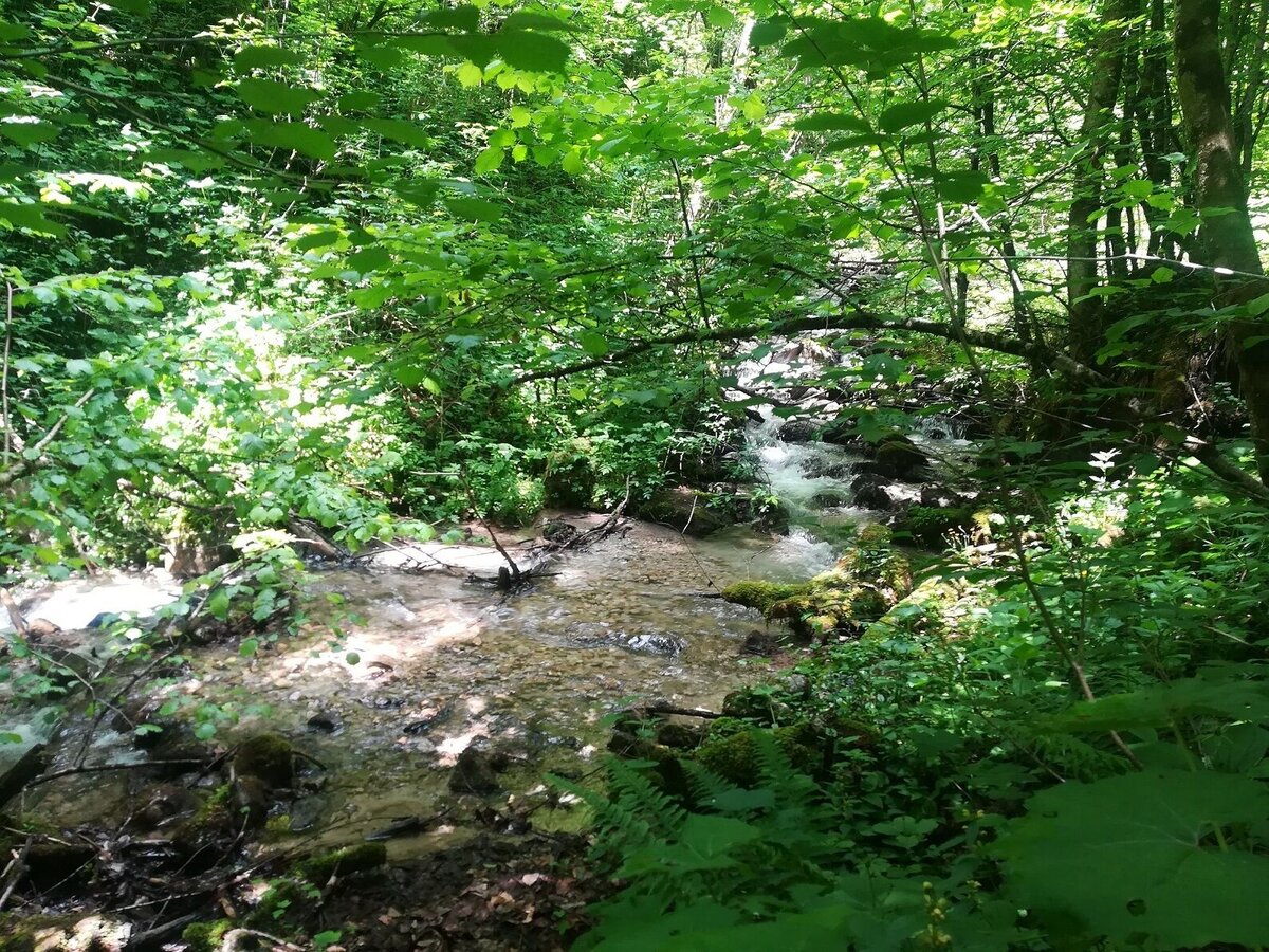
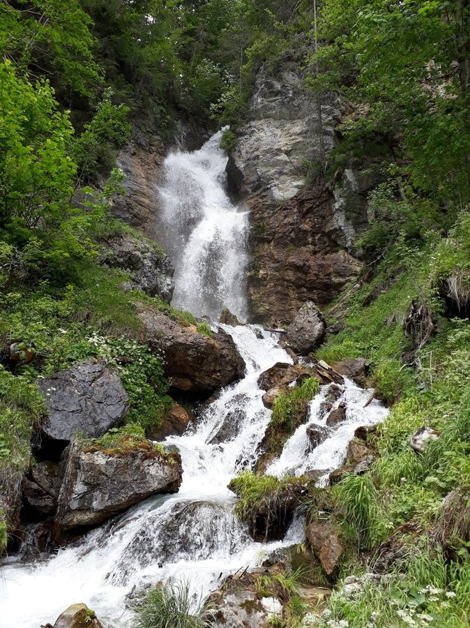
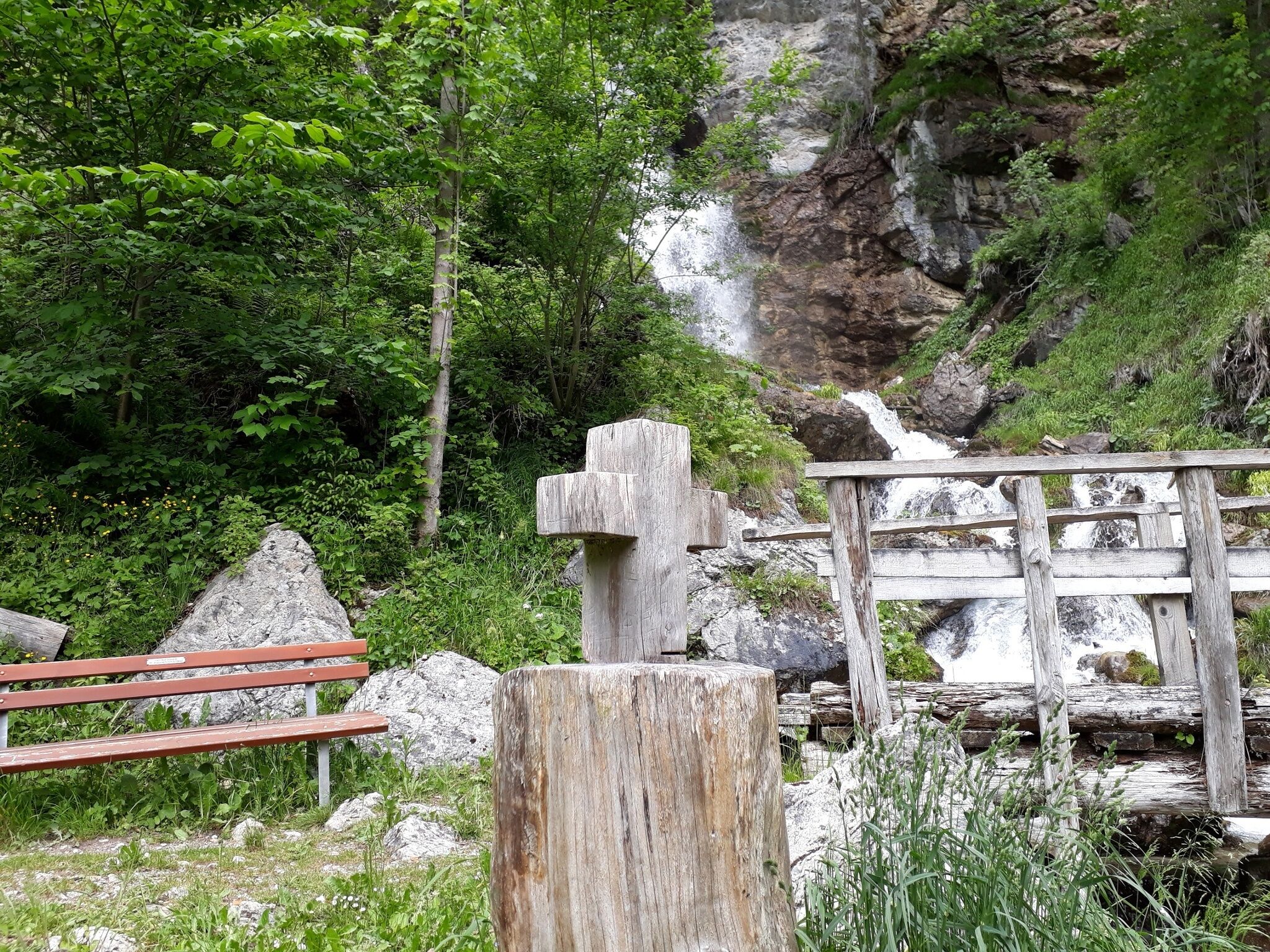
The hike to the Luserwaterfall is suitable for the whole family. However, please take extra care when walking the parts of the route on the Rössingstraße, because you walk along the road. The path along the brook and through the forest to the waterfall is especially appealing to children.
The tour
easy
Starting and end point
Village square in Weißenbach
Tour characteristics
Fitness (2/6)
Information
Distance: 6.5 km
Duration:
3 h
Ascent: 273 m
Descent: 273 m
highest point: 992 m
Best season
Jan
Feb
Mar
Apr
May
Jun
Jul
Aug
Sep
Oct
Nov
Dec
Map, elevation profile & further information
From the village square in Weißenbach, head west along Rössingstraße to the Luserwasserfall junction. Follow the dirt road and follow the stream to the waterfall. Continue to Burgstaller and Rabingerhof along the dirt road back to Weißenbach.
Ennstalbundesstraße (B320) - Haus im Ennstal - WeißenbachVillage square Weißenbach
Local bus: Postbus (L900)
- Sturdy shoes, sticks if necessary
- Here are all the hiking maps and important brochures to download.
You can also visit the prehistoric sites that are nearby. Additional time needed approx. 1 hour.


