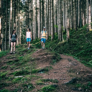
Winter hiking on the Moosrundwanderweg in Irdning
easy Winter hiking trails · Grimming-Donnersbachtal
Tour characteristics
Stamina
Technique
Tour-Infos
Distance: 5.19 km
Duration: 01:15 h
Ascent: 40 m
Descent: 40 m
Best time of year
january
february
march
april
may
june
july
august
september
october
november
december
The tour
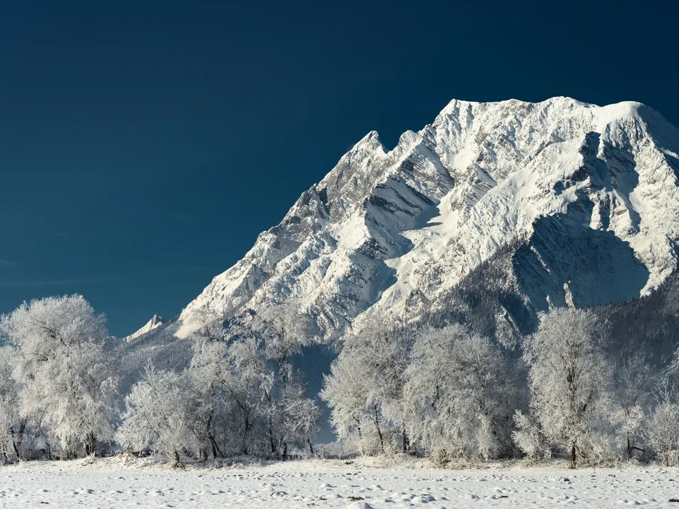
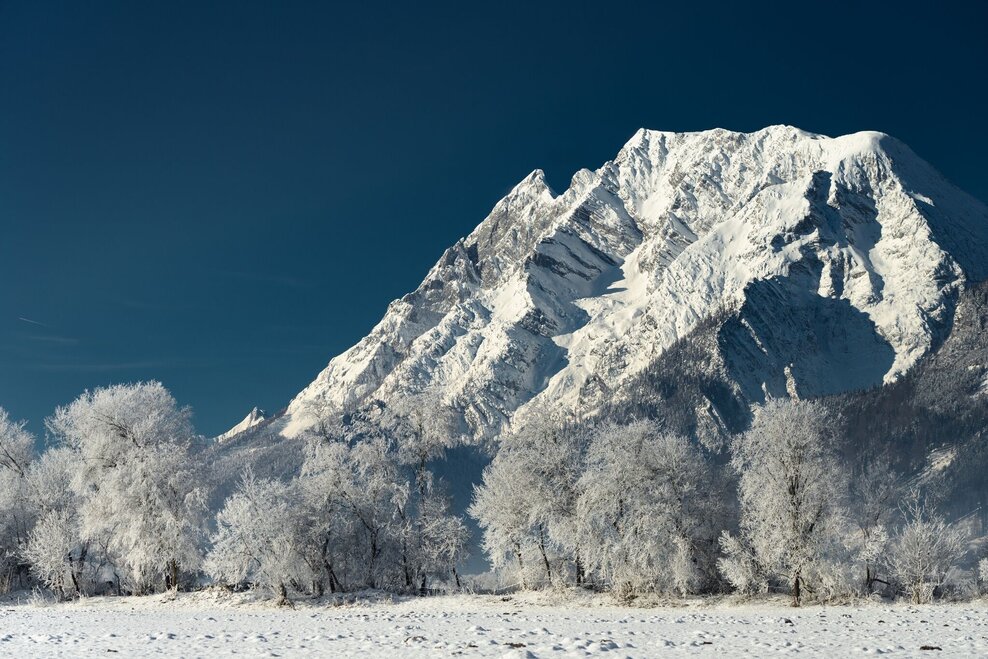
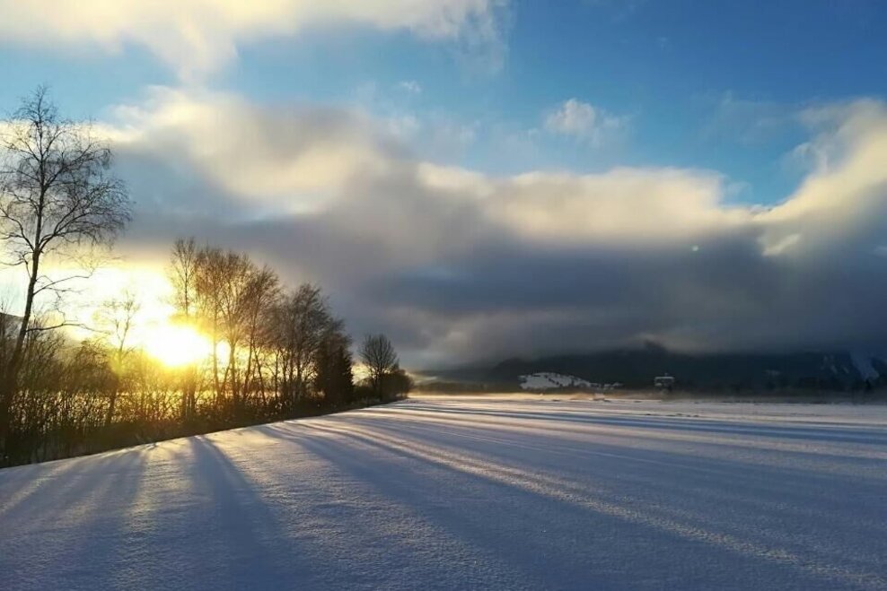
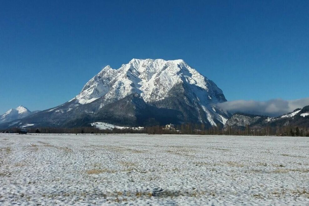
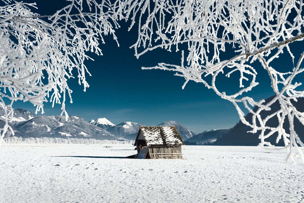
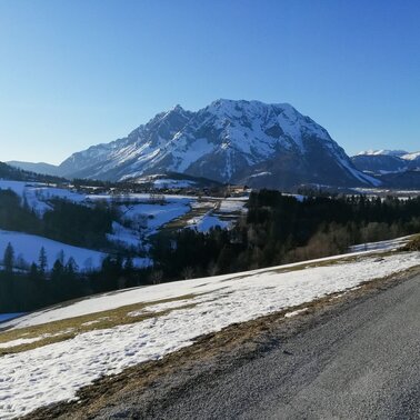
This leisurely walk and winter hiking trail leads from the sculpture park behind the church into the Irdninger Moos. With the Grimming as a constant companion at your side, you are never alone on the road.
More information
Turn-by-turn directions
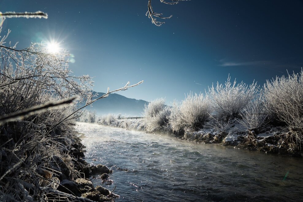
In the sculpture park behind the parish church you can start. The marked hiking trail leads you via the "Schwarzen Weg" down to the Enns. At the fork in the road, turn left and walk leisurely along the river, always in the direction of the Grimming. Once you have reached the footpath or cycle path, turn left again and walk straight ahead to the sports and leisure facility. Walk past the sports and recreation center and follow the signs for about 800 m back to the center of town.
Way number: 1
Getting there
From the Ennstalbundesstraße (B320) at the Trautenfels junction or in Wörschach turn off in the direction of Irdning, Donnersbach, Donnersbachwald and continue to the center of Irdning.
Take the bus 940/941 to the stop "Busbahnhof" in Irdning. There you will also find the starting point of the hike.
Bus timetable: www.verbundlinie.at
The closest train station "Stainach-Irdning" is about 22 kilometers away in Stainach.
Train timetable: www.oebb.at
Parking
Free parking at the large parking lot opposite the tourist office or nearby the church
Start
Sculpture park (behind the church)
Destination
At the starting point
Equipment
Sturdy winter shoes with a good profile.
Author’s recommendation
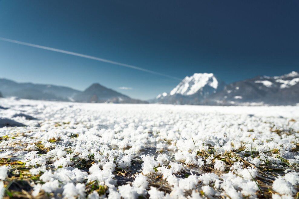
On the way with eagle eyes: On sunny days you can easily recognize the "Grimmingmandl" (as a hiker on the right on the front of the mountain) on the sugared Grimming.
Tips, hints and links
Tourist information: www.schladming-dachstein.at
Schladming-Dachstein Tourist Office
Ramsauerstraße 756
8970 Schladming
T: +43 3687 23310
info@schladming-dachstein.at
Schladming-Dachstein OST winter adventure map, available from the information offices in the region.
You might also be interested in...
Weather forecast
Date
Dry and partly sunny throughout the day, with cloudy periods from time to time.
Rather thick clouds or fog during the whole day, but mostly dry. Maybe light rain in the afternoon.
Mostly cloudy through the day with a little sunshine and frequent rain.
