Gröbminger Land
Aus dem Sattental zur Schladminger Alm
Hiking trail
Data:
Tour description
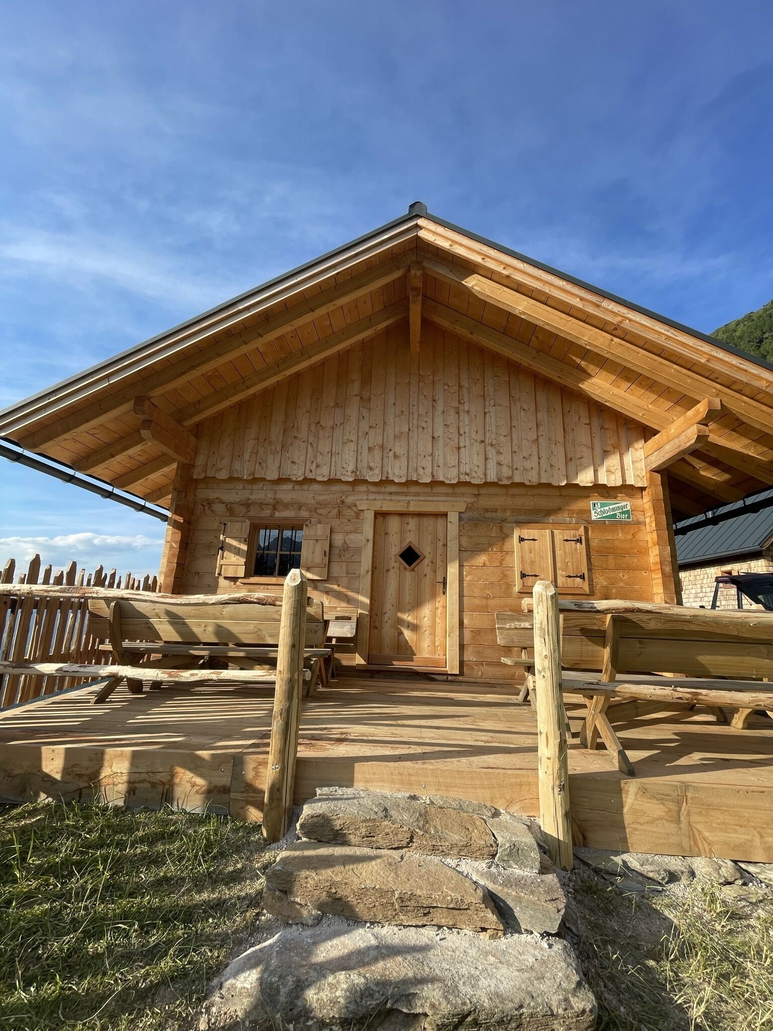
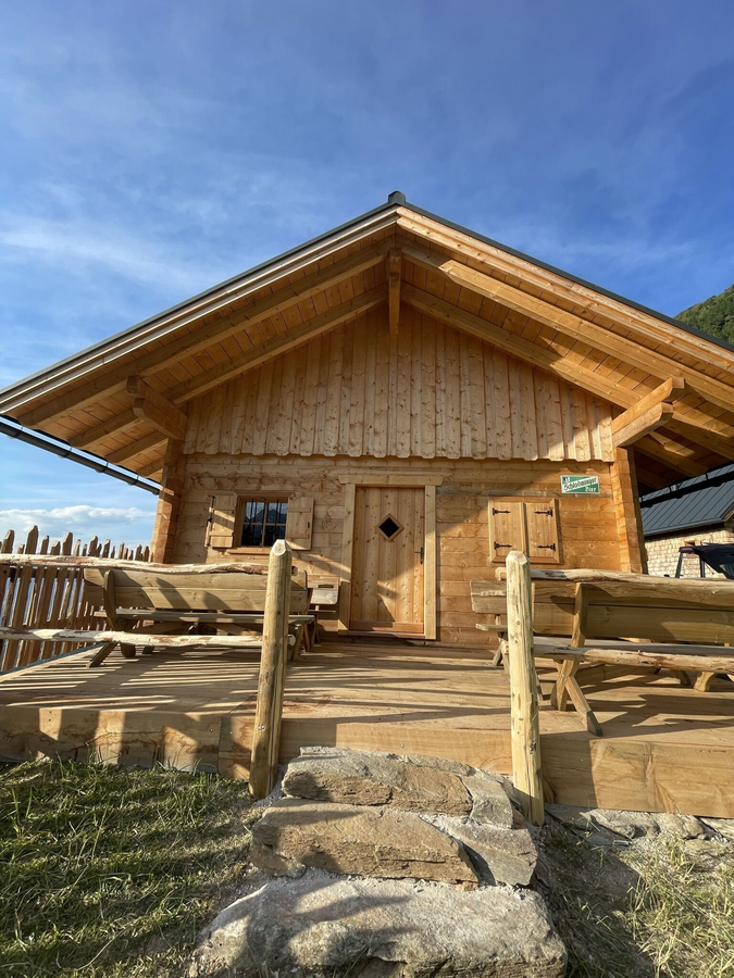
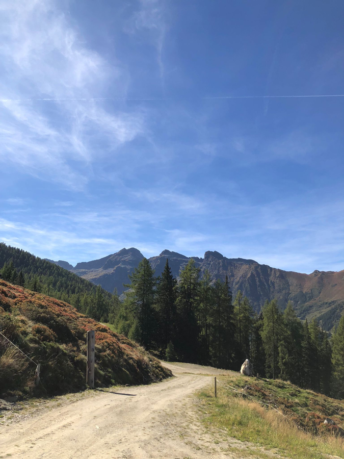
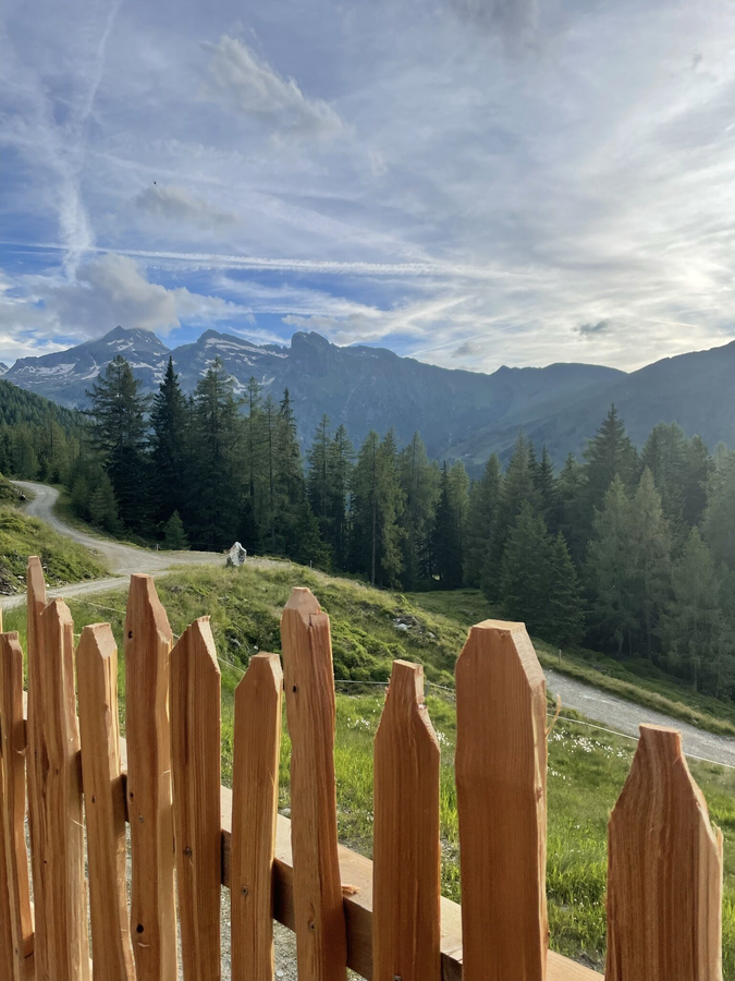
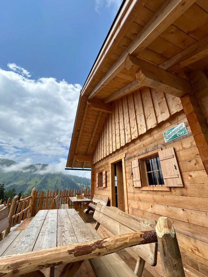
Rest, enjoy and marvel - an alpine hut in the middle of the Schladminger Tauern. The Schladminger Alm is a small paradise away from the hustle and bustle. On a small high plateau with a wide view of the mountains of the Ennstal and the Hochwildstelle.
The tour
easy
Starting and end point
Leonhardikreuz, Sattental
Tour characteristics
Distance: 9.5 km
Fitness (3/6)
Skills (2/6)
Information
Distance: 9.5 km
Duration:
2:50 h
Ascent: 450 m
Descent: 450 m
highest point: 1620 m
Best season
Jan
Feb
Mar
Apr
May
Jun
Jul
Aug
Sep
Oct
Nov
Dec
Map, elevation profile & further information
The hike starts at the Leonhardikreuz in Sattental. From the crossroads, you walk down the forest path to the bridge over the Sattentalbach and follow the path on the other side out of the valley. You hike up 7 bends to the alpine pasture area of the Schladminger Alm, where a wonderful view of the Hochwildstelle awaits you. You return on the same path.
Trail conditions
Turn off the B320 Ennstal federal road in Pruggen and continue towards Pruggererberg. From there, follow the signs towards Sattental and continue on the road until you reach the Leonhardikreuz.
Some parking spaces are available directly at the Leonhardikreuz.
Some parking spaces are available directly at the Leonhardikreuz.
A well-packed backpack is helpful and especially when touring Alpine terrain a tuque, gloves, a windproof jacket and pants are standard equipment. Good, waterproof shoes, sun glasses, sun cream and sufficient beverages are essential too. Torch light, a map of the area, knie and a small first-aid kit should also be in the backpack.
Changes in weather patterns, quick falls in temperature, thunderstorms, wind, fog and snow are some of the dangers that can be encountered on a hiking tour. Hosts of alpine huts and mountain refuges have a lot of experience in the mountains and can give good advice about weather and the trails. Poor equipment, overestimation of one's own capabilities, carelessness, poor personal constitution and/or wrong judgement can lead to critical situations. In case of thunderstorms: avoid summits, ridges and steel ropes.
GPS data and orienteering
Available GPS data - just like hiking maps - is only a guidance for orientation and can never depict a trail exactly with all its details. Especially at dangerous spots it is essential to judge on site how to proceed.
In an emergency please call:
GPS data and orienteering
Available GPS data - just like hiking maps - is only a guidance for orientation and can never depict a trail exactly with all its details. Especially at dangerous spots it is essential to judge on site how to proceed.
In an emergency please call:
- 140 - for Alpine emergencies (all over Austria)
- 112 - European GSM emergency number