Gröbminger Land
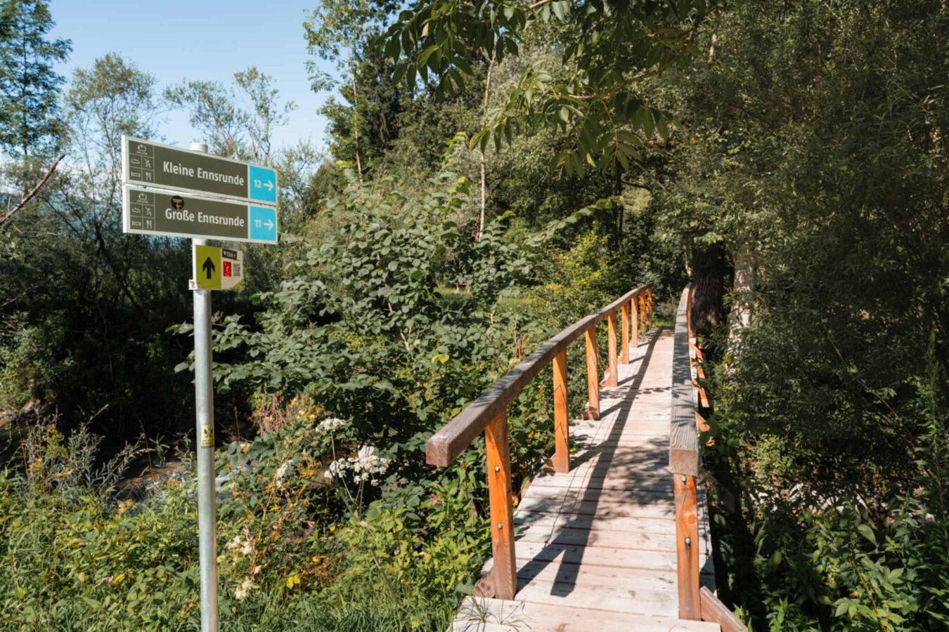
Big Enns round
Walking Path
Data:
copyright: Christoph Lukas
copyright: Christoph Lukas
copyright: Christoph Lukas
copyright: Christoph Lukas
copyright: Christoph Lukas
copyright: Christoph Lukas
copyright: Christoph Lukas
copyright: Christoph Lukas
copyright: Christoph Lukas
copyright: Christoph Lukas
copyright: Christoph Lukas
Tour description
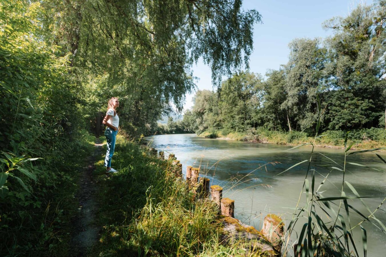
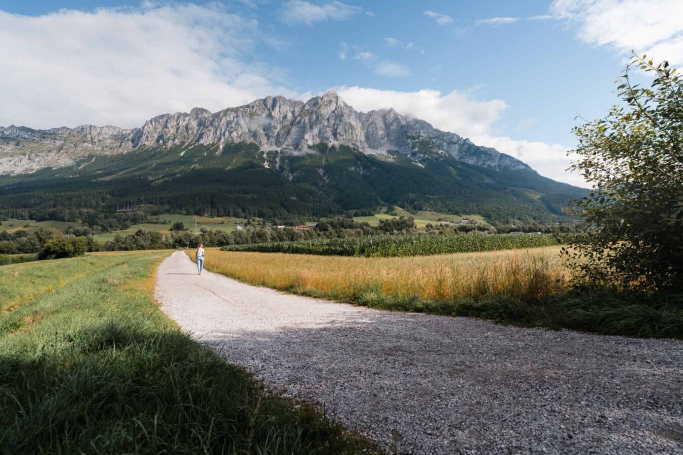
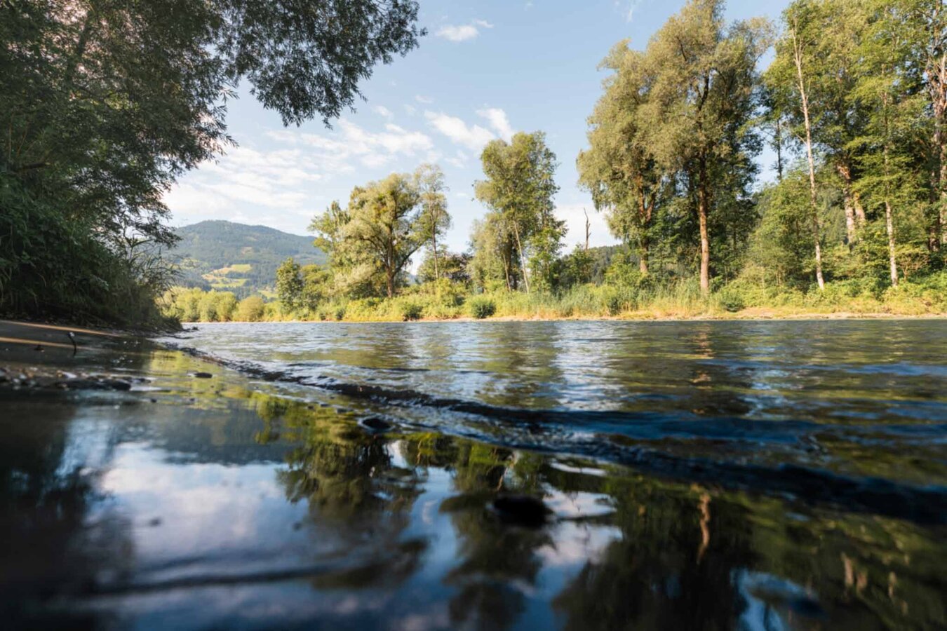
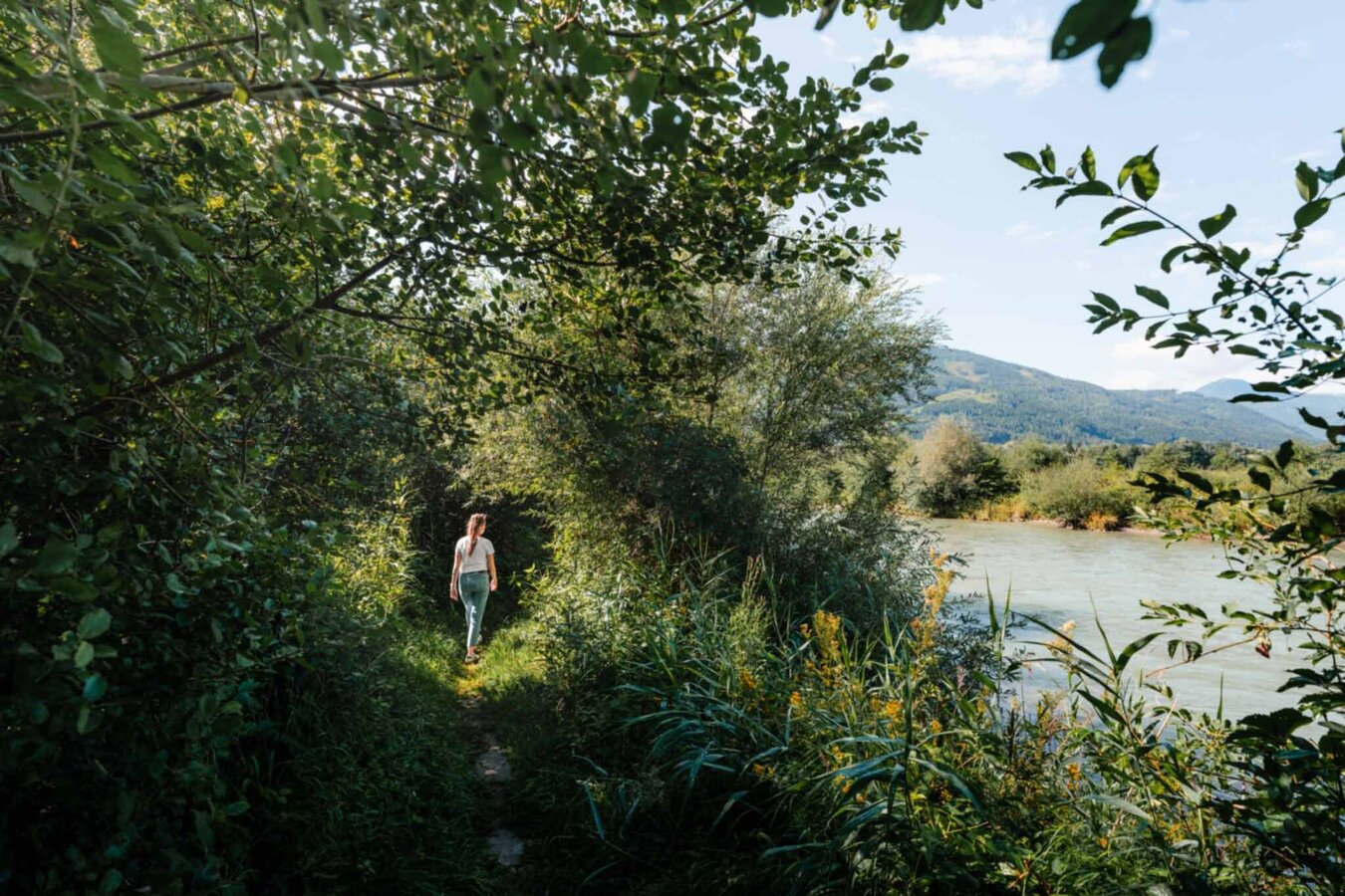
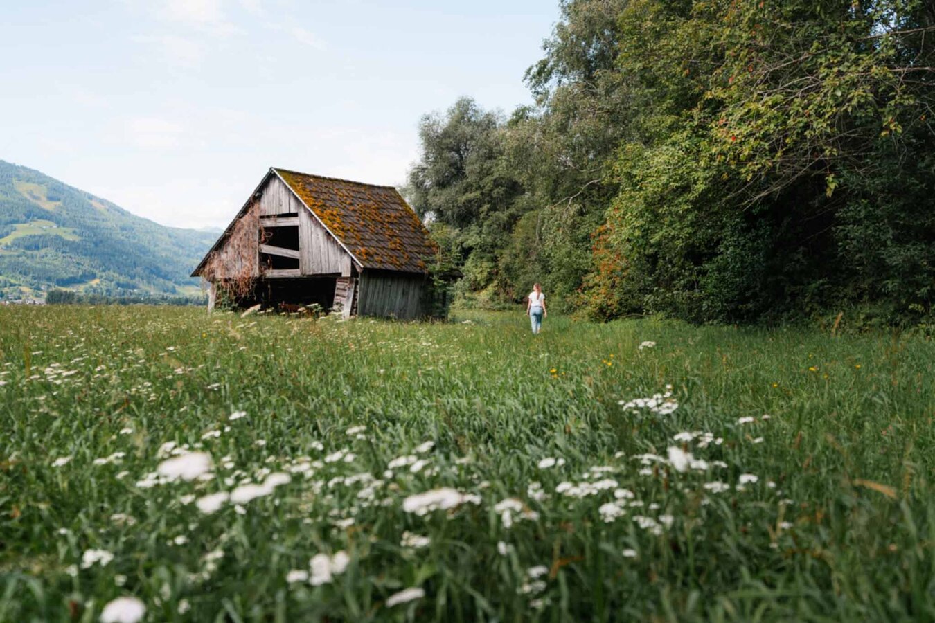
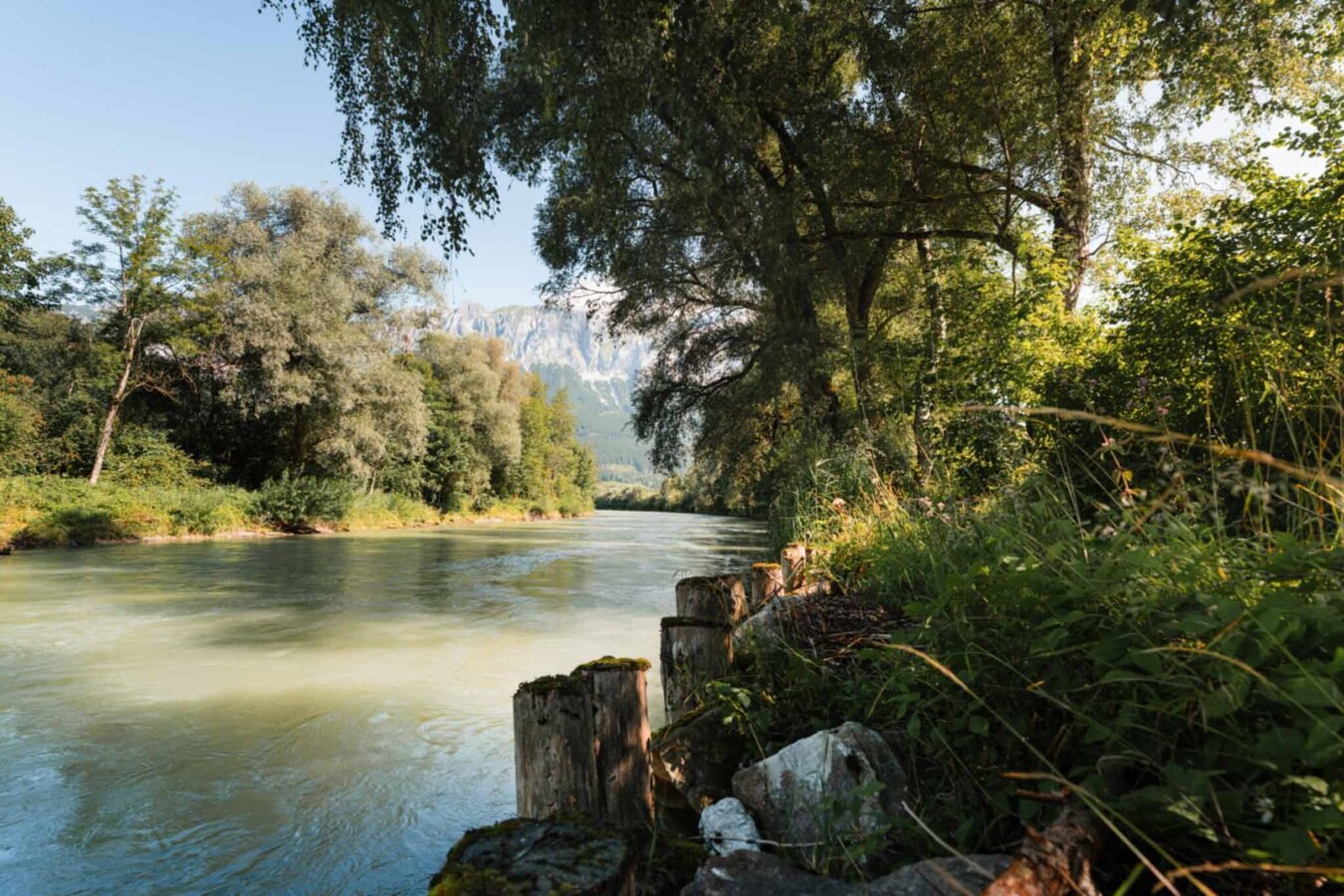
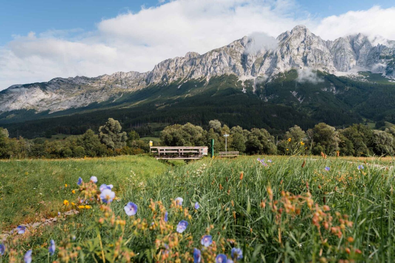
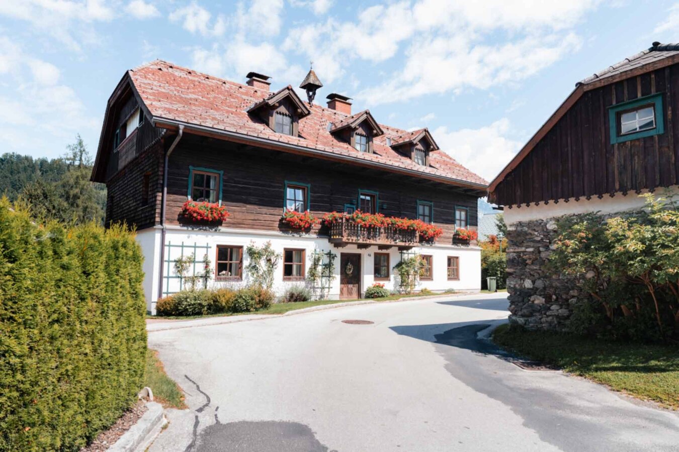
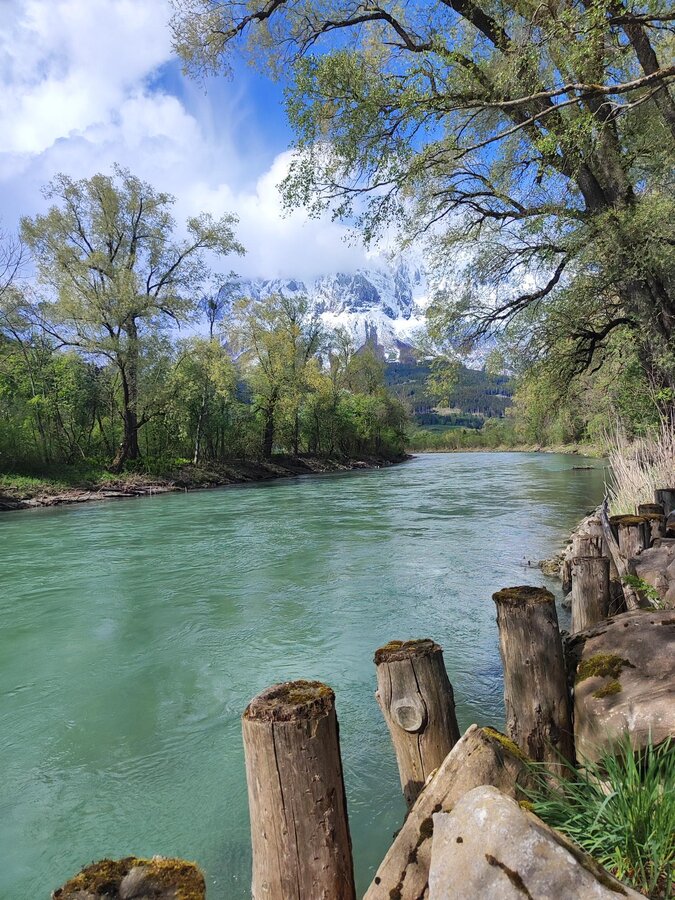
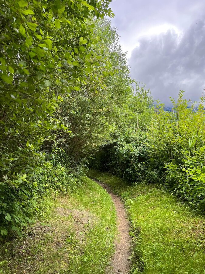
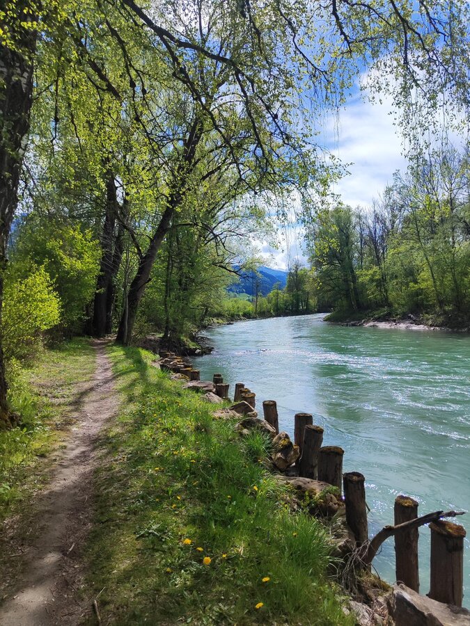
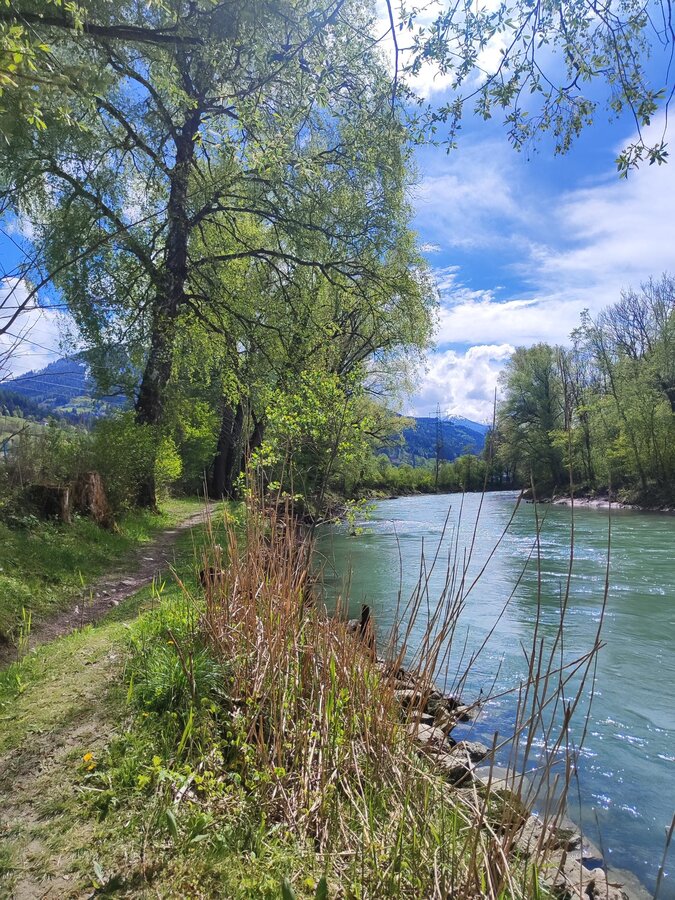
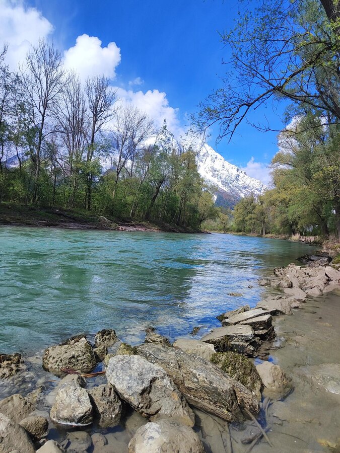
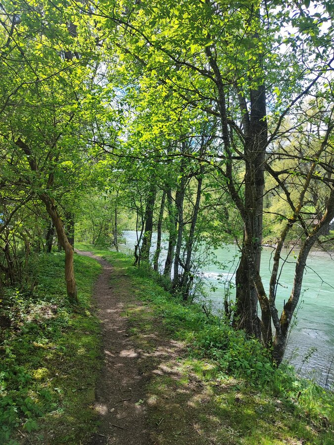
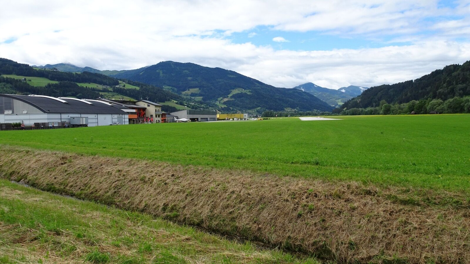
The Great Enns Loop is a varied hike. You’ll stroll through the villages of Öblarn and Niederöblarn, and the Grimming Sports Area—including the Niederöblarn airfield—is also along the way. Along the banks of the Enns, you’ll enjoy the tranquility and the gentle flow of the river. Here, you can truly unwind and forget about your daily routine. In addition to the wonderful river landscape of the Enns, the beautiful old houses in Öblarn and the Herz-Jesu Chapel in Niederöblarn offer great photo opportunities.
The tour
easy
publicly accessible
Starting and end point
Main square Öblarn
Tour characteristics
Distance: 7.8 km
Information
Distance: 7.8 km
Duration:
2:00 h
Ascent: 30 m
Descent: 30 m
highest point: 681 m
Best season
Jan
Feb
Mar
Apr
May
Jun
Jul
Aug
Sep
Oct
Nov
Dec
Map, elevation profile & further information
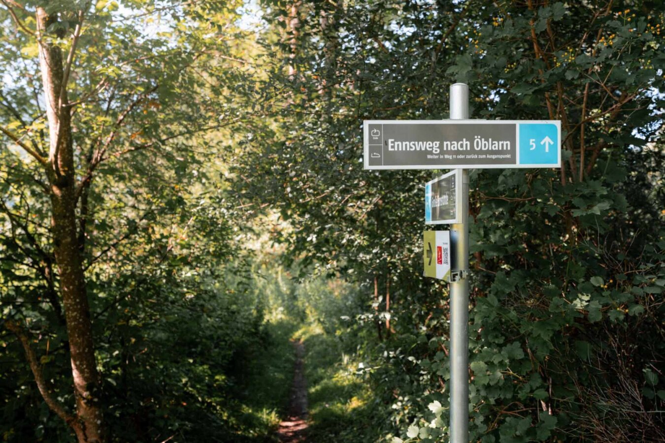
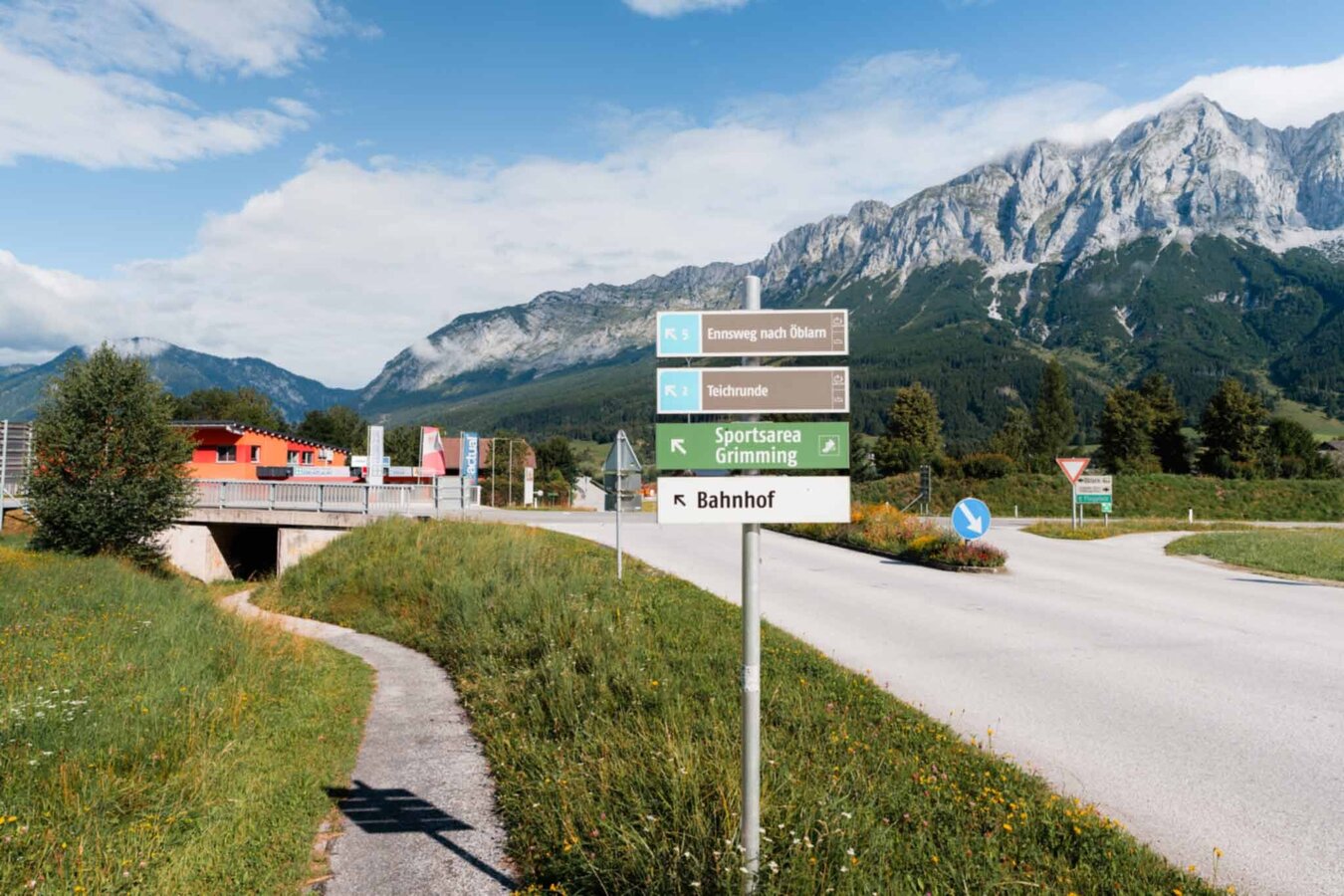
Starting from the main square in Öblarn, you’ll stroll through the village, past the Thiel Nursery, and on to the Enns. From there, follow the riverbank downstream to the airfield in Niederöblarn. The path continues into the center of the small village of Niederöblarn. The Grimmingtor Inn invites you to take a break before you walk back to Öblarn, passing old farmsteads along the way.
From the west: By car, take the B320 Ennstal Federal Highway and turn toward Öblarn at Sankt Martin, then continue on to Öblarn.
From the east: By car, take the B320 Ennstal Federal Highway and turn toward Öblarn at Espang, then continue on to Öblarn.Main square Öblarn near church
From the east: By car, take the B320 Ennstal Federal Highway and turn toward Öblarn at Espang, then continue on to Öblarn.Main square Öblarn near church
Öblarn is accessible via regional trains operated by the Austrian Federal Railways (ÖBB).
Weather changes, rapid drop in temperature, thunderstorms, wind, fog and snow fields are objective dangers and require the right behavior on the way. Hut keepers are experienced mountain connoisseurs, they can give good tips on the weather and the course of the trail. Lack of equipment, overestimation of one's own abilities, carelessness, poor physical condition and a wrong assessment can lead to critical situations. During thunderstorms: avoid peaks, ridges and rope belays at all costs.
GPS data and orientation aids: Available GPS data - as well as hiking maps - are only an orientation aid, since they can never represent an exact image or the richness of detail of a path in reality. Especially in the case of danger spots, it must therefore always be decided in the end on the basis of the conditions on site whether and how the further course of the path looks like.
In case of emergency, please dial the following emergency numbers:
No. 140 - for alpine emergencies - Austria-wide
No. 112 - Euro emergency call GSM emergency call service
Take rainproof and warm clothes and enough water, possibly also a snack, wear shoes with non-slip profile soles. A first aid kit should also be in your backpack.
SummitLynx- Your digital summit and hut book - available worldwide and always with you!For more information, please contact the Schladming Dachstein Tourist Office:
Phone: +43 3687 23310
mailto:info@schladming-dachstein.at
The brochure “Schladming-Dachstein Hiking” is available in all information offices in the region.
Phone: +43 3687 23310
mailto:info@schladming-dachstein.at
The brochure “Schladming-Dachstein Hiking” is available in all information offices in the region.


