Schladming

Meadow Trail Rohrmoos
Tour description

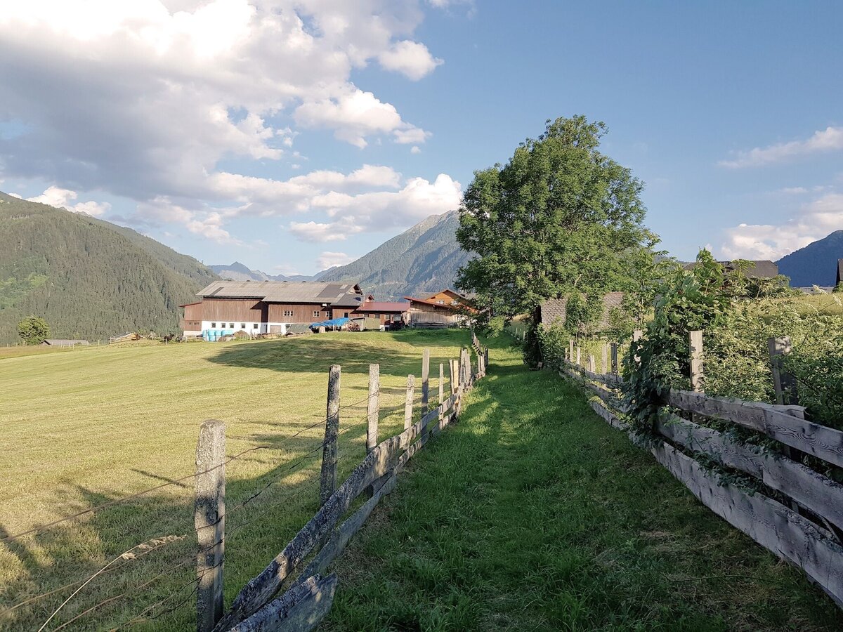
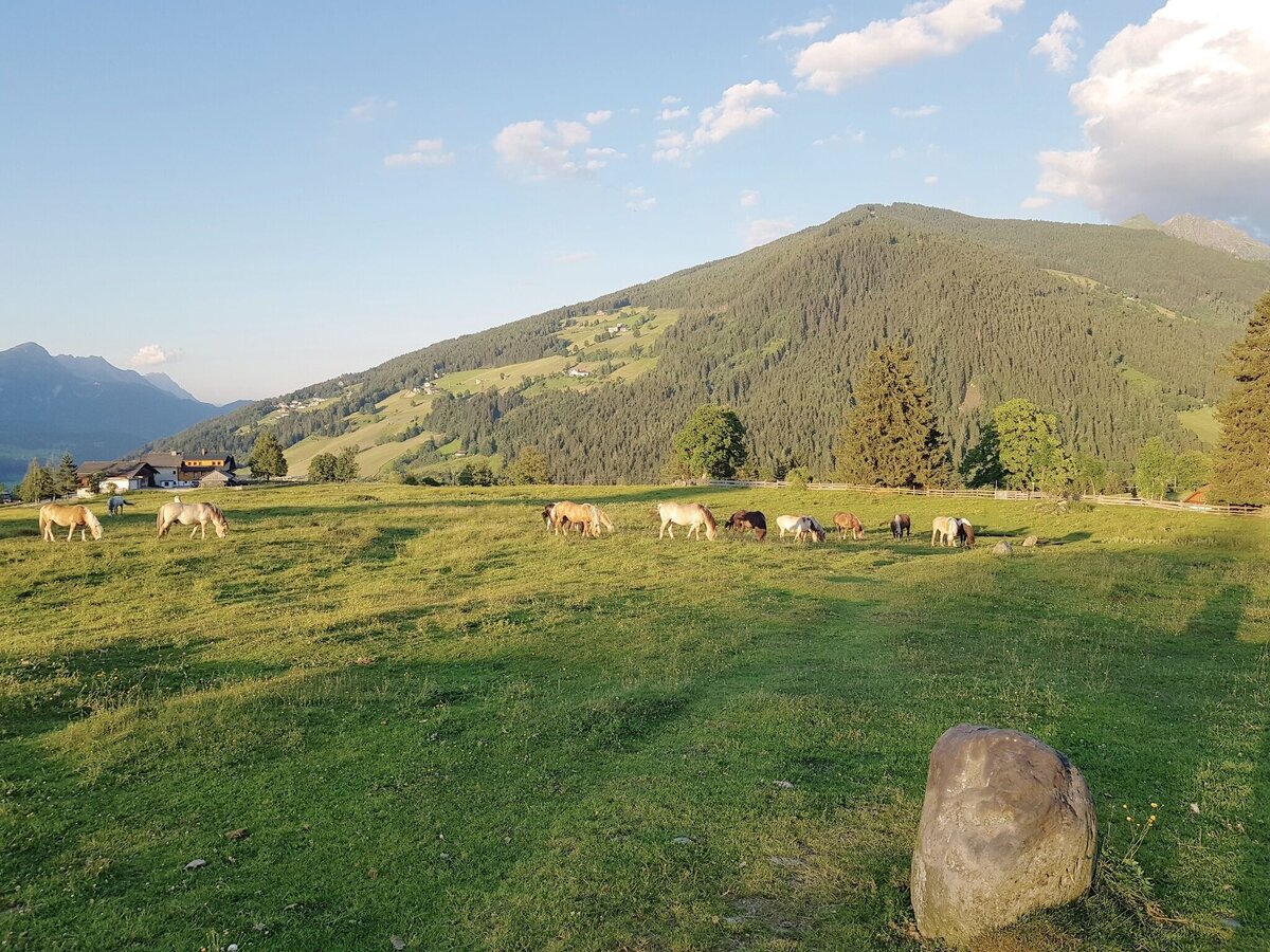
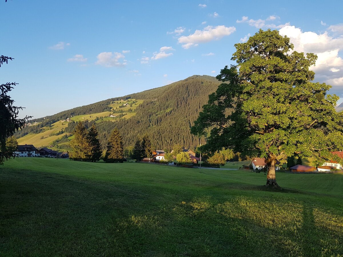
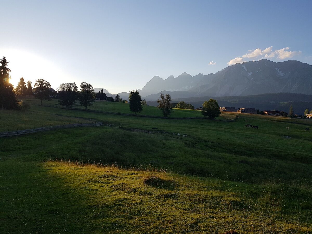
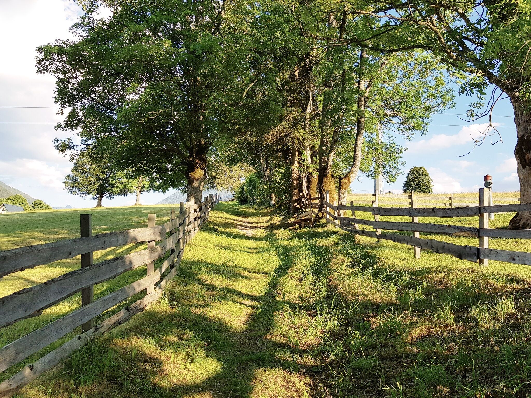
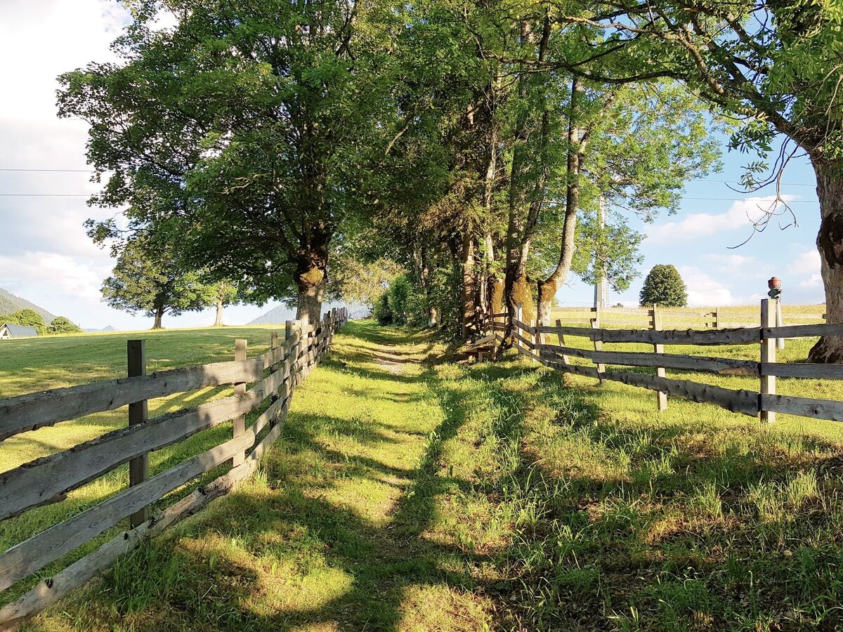
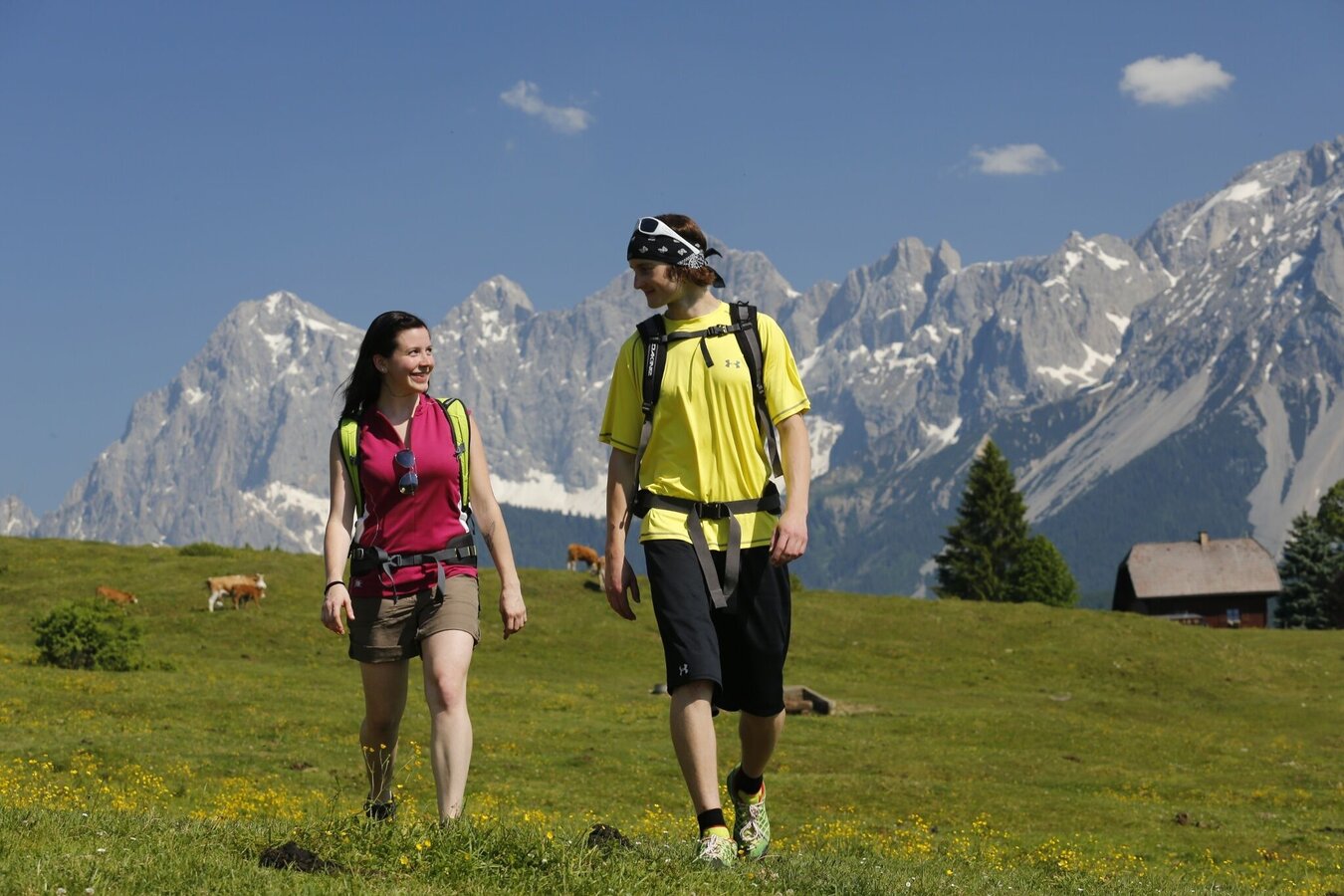
Beautiful walk via the meadows of "Rohrmooser Frei" to "Rohrmoos-Süd" and via the meadows of "Hagerat" back into the village center of Rohrmoos. The walk offers good views to Planai and Untertal valley. A sligthtly different variant is possible via Rohrmoos-Süd-Weg road and Hageratweg alley.

The tour

easy
publicly accessible
Starting and end point Hiking trail head Rohrmoos village
Tour characteristics
Distance: 3.1 km
Fitness (2/6)
Information
Distance: 3.1 km
Duration: 55 min
Ascent: 70 m
Descent: 70 m
highest point: 1036 m
Best season
Jan
Feb
Mar
Apr
May
Jun
Jul
Aug
Sep
Oct
Nov
Dec

Map, elevation profile & further information

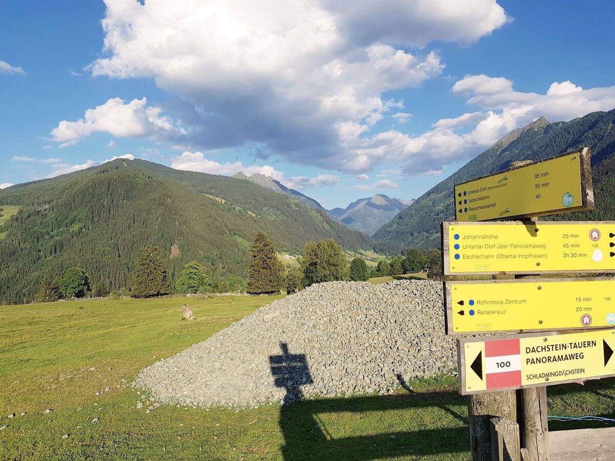
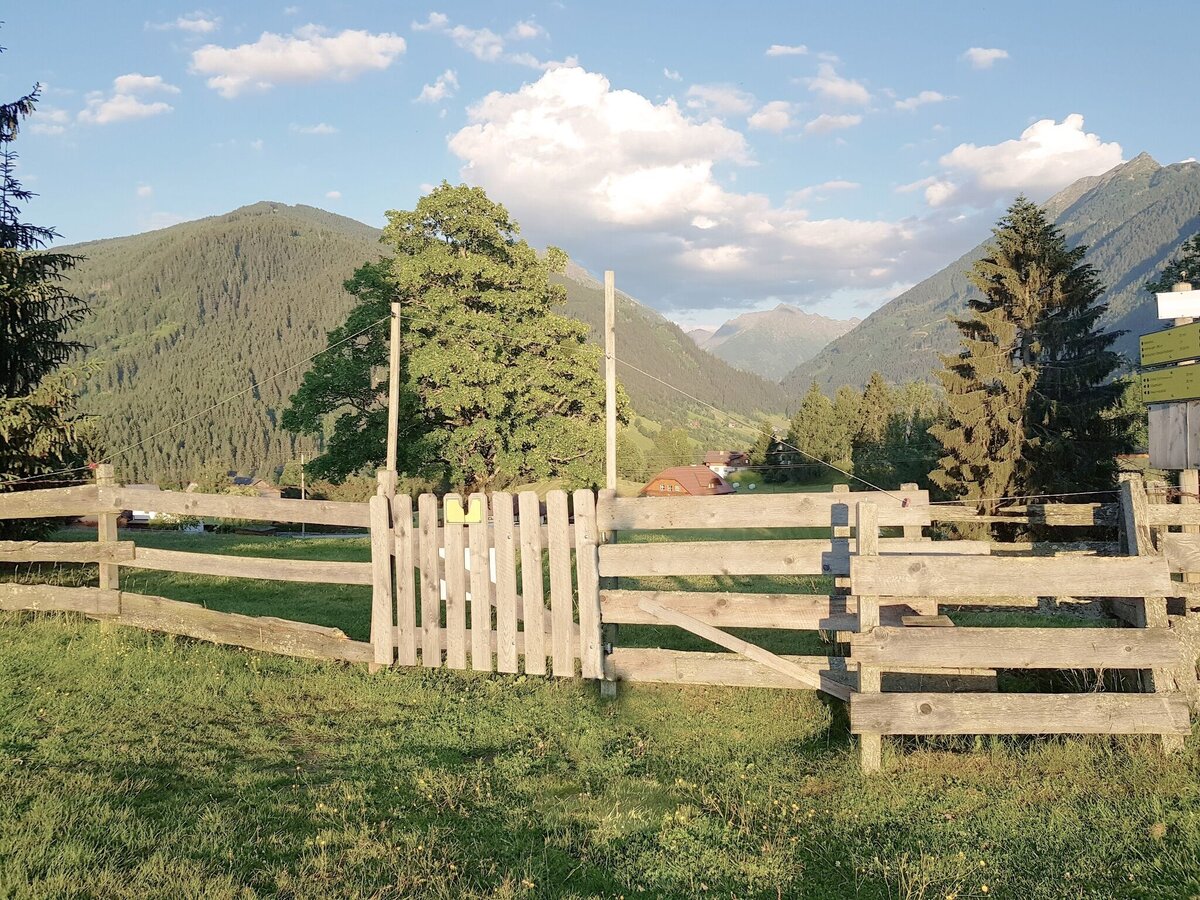
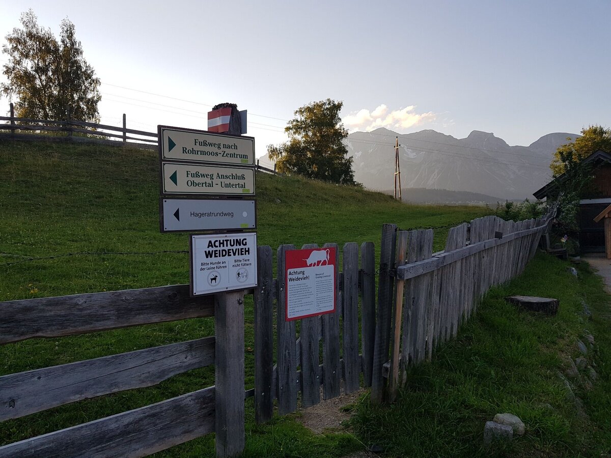
You start your walk towards West via Reiterkreuzweg road until you reach the trail junction "Reiterkreuz" after about 10 minutes. Here you make a left towards "Schußbühel" and walk on to Rohrmoosstraße road. You walk across the road to "Schußbühel" and then continue on across the meadows of "Rohrmooser Frei" to the corner of the second fence (near the valley terminal of Obertalbahn lift). Make a left at the fence corner and walk downhill to the trail junction "Rohrmoos-Süd". Just before you reach the road, make a left at the corner and walk to restaurant Braunhofer's. Passing bei the "Braunhofteich" pond you then make a right and walk the meadow trail downhill to the kindergarden. Here you make a left and walk back to the village center of Rohrmoos.

From Schladming take provincial highway L722 (Rohrmoosstraße road) to the village center of Rohrmoos.Parking is available at the hiking trailhead.
With the Planai buses from Schladming (Planet-Planai, Lendplatz) to the village center of Rohrmoos - bus stop "Rohrmoos-Zentrum".
Hiking or trekking shoes with grip sole, jacket.
A beautiful walk in autumn.

Information about bus schedules: www.planaibus.at

360° drone images

Get yourself an overview with our 360° drone images:

  • Hiking map ‘Hiking WEST’ available at the information offices in the region.
  • Schladming hiking map, 1:25,000, available at the Schladming information office.
  • Hiking map Schladming-Dachstein, 1:50,000, available at the information offices in the region.
  • Hiking guide Schladming-Dachstein by Herbert Raffalt, available at the information offices in the region.

Wheather predicition

today
07.07.2026
Mountain 20 °C
Valley 28 °C
Precipitation
Probability
25 %
Amount
0 l/m²
Wind speed
West
15 km / h
Sun
Sun hours
9.4 h
Sunrise
05:17 o clock
Sunset
21:03 o clock

The day starts sunny, but will be partly cloudy in the afternoon.

tomorrow
08.07.2026
Mountain 15 °C
Valley 23 °C
Precipitation
Probability
55 %
Amount
3.7 l/m²
Wind speed
Nordwest
15 km / h
Sun
Sun hours
5 h
Sunrise
05:18 o clock
Sunset
21:03 o clock

Mostly cloudy in the morning, then showers and sunshine will alternate.

day after tomorrow
09.07.2026
Mountain 17 °C
Valley 25 °C
Precipitation
Probability
45 %
Amount
0.4 l/m²
Wind speed
Nordwest
15 km / h
Sun
Sun hours
3.9 h
Sunrise
05:18 o clock
Sunset
21:02 o clock

Light morning rain, but slowly becoming sunny during the day.

Tours nearby