Gröbminger Land
Saint Martin Grimming-round
Walking Path
Data:
copyright: Markus Schrempf
copyright: Markus Schrempf
copyright: Markus Schrempf
copyright: Markus Schrempf
copyright: Markus Schrempf
copyright: Markus Schrempf
copyright: Markus Schrempf
copyright: Markus Schrempf
copyright: Markus Schrempf
copyright: Markus Schrempf
copyright: Markus Schrempf
copyright: Markus Schrempf
copyright: Markus Schrempf
Tour description
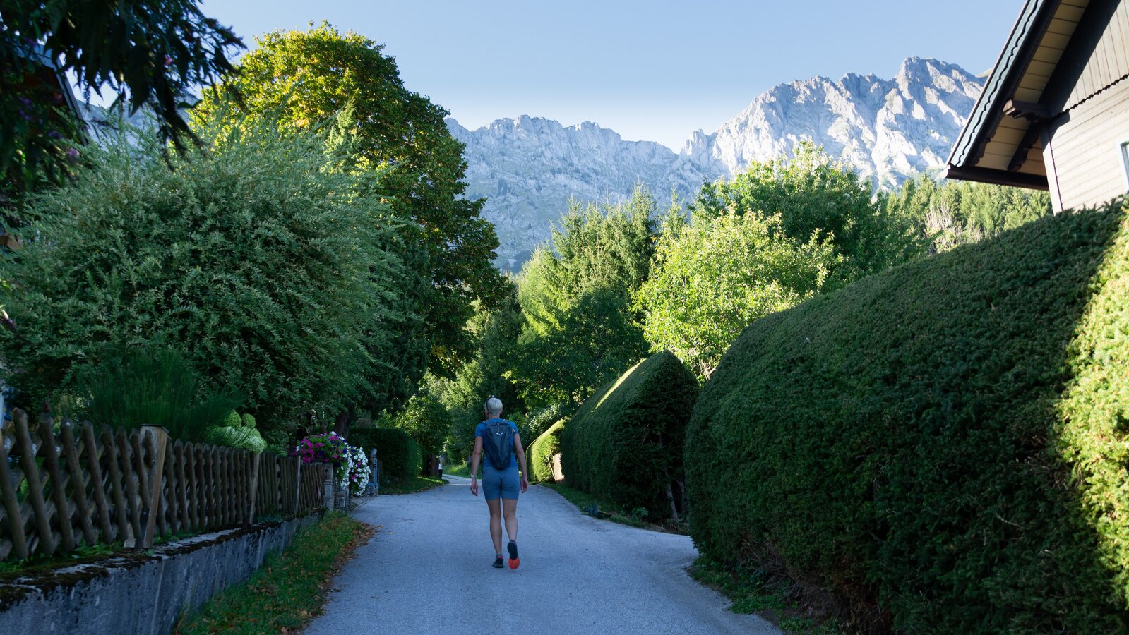
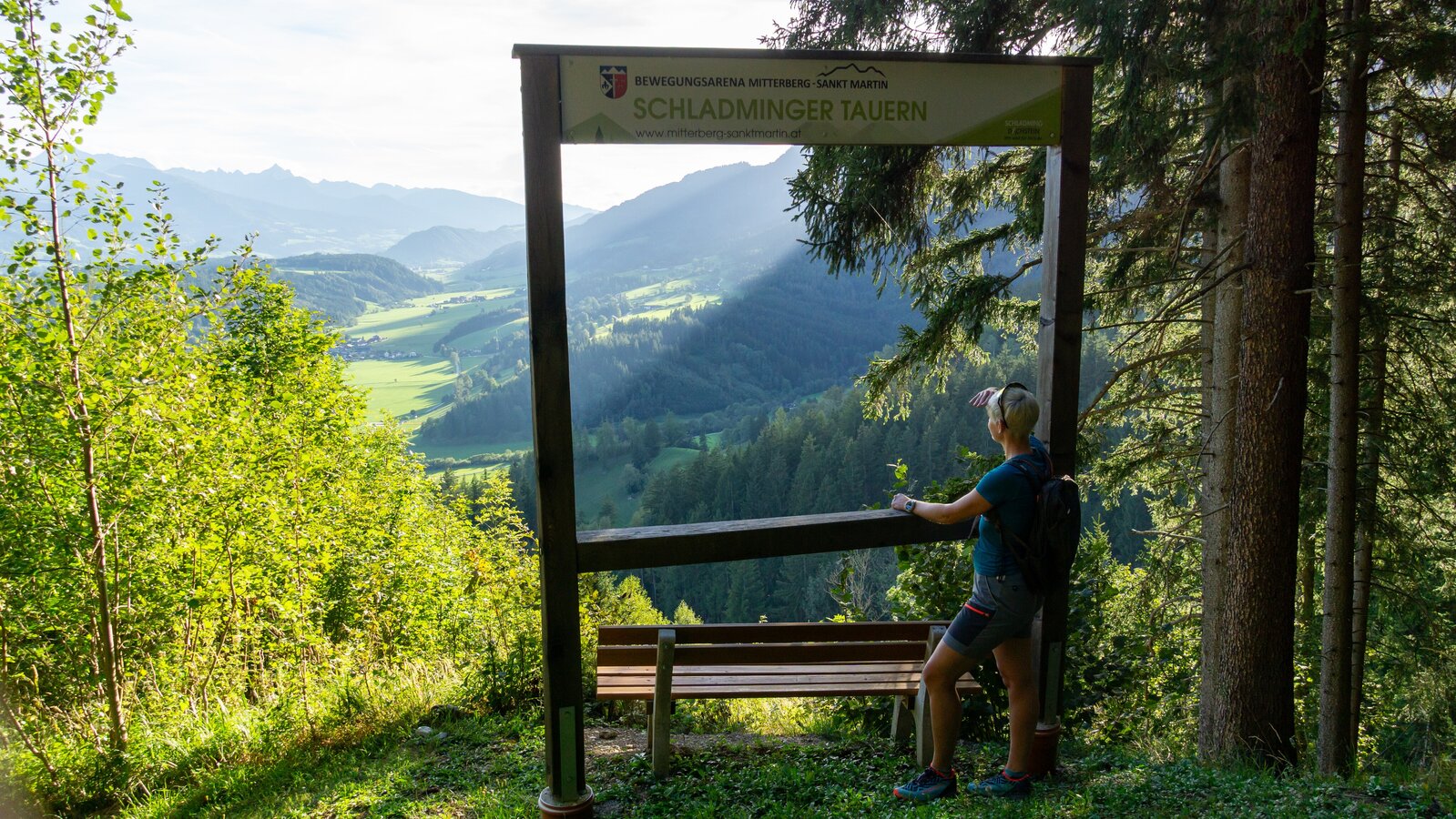
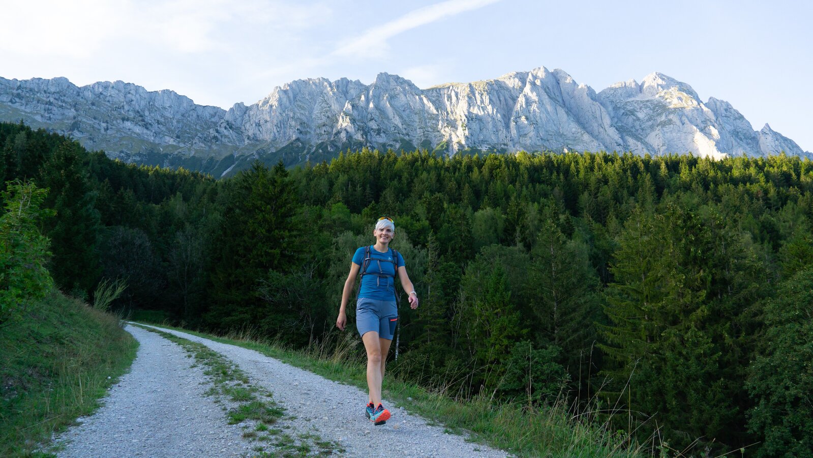
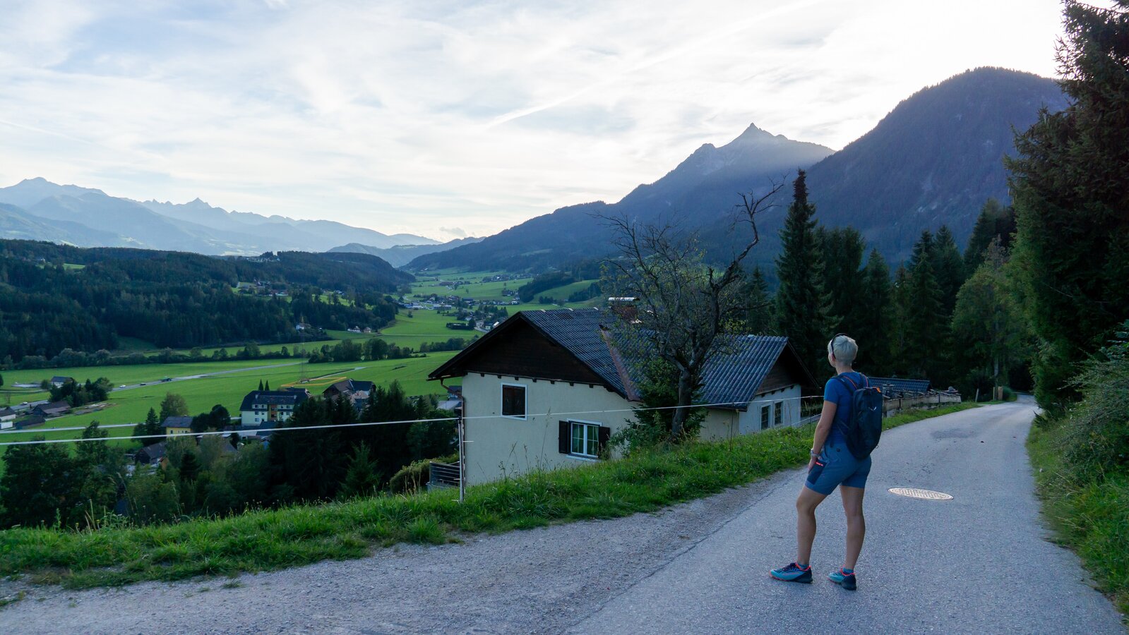
Starting in St. Martin am Grimming, this tour leads over a short, steeper climb to a beautiful viewing platform at the foot of the Grimming. The Schladminger Tauern presents itself in its full splendour.
The tour
easy
publicly accessible
Starting and end point
St. Martin am Grimming
Tour characteristics
Distance: 3.2 km
Fitness (3/6)
Information
Distance: 3.2 km
Duration:
1:00 h
Ascent: 190 m
Descent: 190 m
highest point: 879 m
Best season
Jan
Feb
Mar
Apr
May
Jun
Jul
Aug
Sep
Oct
Nov
Dec
Map, elevation profile & further information
Starting in St. Martin am Grimming, this tour leads over a short, steeper climb to a beautiful viewing platform at the foot of the Grimming. The Schladminger Tauern presents itself in its full splendour.
B 320 - Abfahrt St. Martin am Grimming
Parkplatz beim Schwimmbad St. Martin
Parkplatz beim Schwimmbad St. Martin
mit dem PKW nach St. Martin am Grimming
Weather upheavals, rapid drops in temperature, thunderstorms, wind, fog and snowfields are objective dangers and require the right behaviour on the road. Hutkeepers are experienced mountain connoisseurs who can give good tips on the weather and the route. Lack of equipment, overestimation of one's own abilities, carelessness, poor physical condition and a wrong assessment can lead to critical situations. In case of thunderstorms: Avoid peaks, ridges and rope safety devices. In case of emergency, please dial the following emergency calls: No. 140 - Mountain rescue No. 112 - Euro Emergency callThe hiking, running and Nordic walking routes partly run through sensitive areas. Take care of the forest and the wild animals living in it during your activities. For alpine routes, the basic equipment includes a hood, gloves, a good jacket and trousers. Good, waterproof shoes, sunglasses, sun protection and plenty of drinks are essential. Flashlight, maps, knives and a small first aid box are also included.
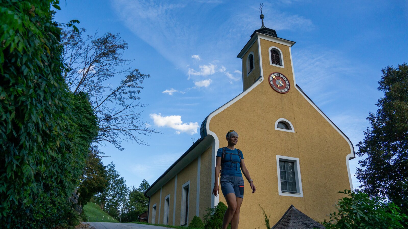
Mountain window "Grimming church view" and "Schladminger Tauern".
These locations are special places along the circuit. The mountain window motifs are intended to highlight the beautiful mountain world in and around the community of Mitterberg - Sankt Martin and offer an ideal setting for the perfect mountain photo!
Tour at your own risk! No liability will be accepted for any given or occurring alpine driving (weather, etc.).