Winkleralmkehre - Neunkirchner Hütte - Seifriedalm - Mößna

Tour description
This very long crossing starts at the Winkleralm turn on the Sölkpass road, and leads via the Haseneckscharte or the Hochstubofen (additional 200 metres in altitude, 1.5 hours) to the Neunkirchner hut or the the Eselsberger huts (Funklhütte, Hölzlerhütte, Knollihütte).
If you are in very good condition, you can either continue directly from here or stay overnight. The way continues via the Seifriedsenke and the Seifriedalm to Mößna. From there you can take the valley bus back - but notice, this is only possible during the Styrian summer vacations.
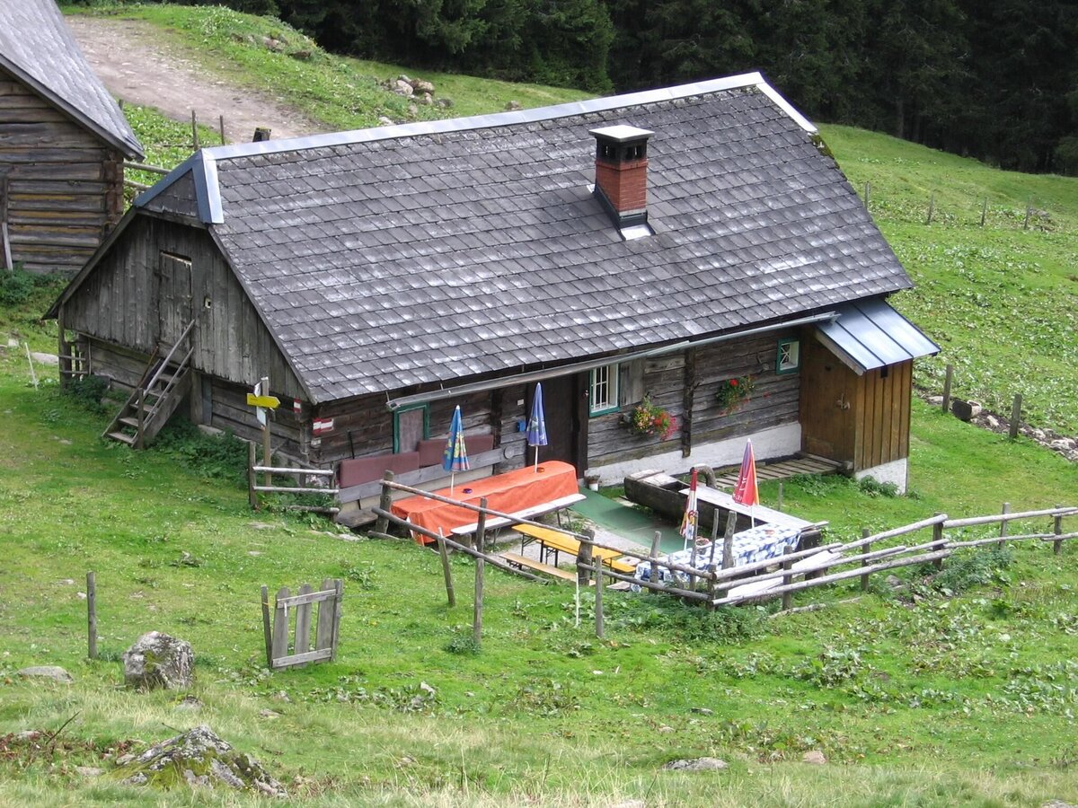
Accommodation: Neunkirchner Hütte (unmanaged self-catering hut) http://www.gebirgsverein-neunkirchen.at/ Almhütten on the Eselsberger Alm (Funklhütte, Hölzlerhütte, Knollihütte) http://www.oberwoelz-lachtal.at
The tour
Map, elevation profile & further information
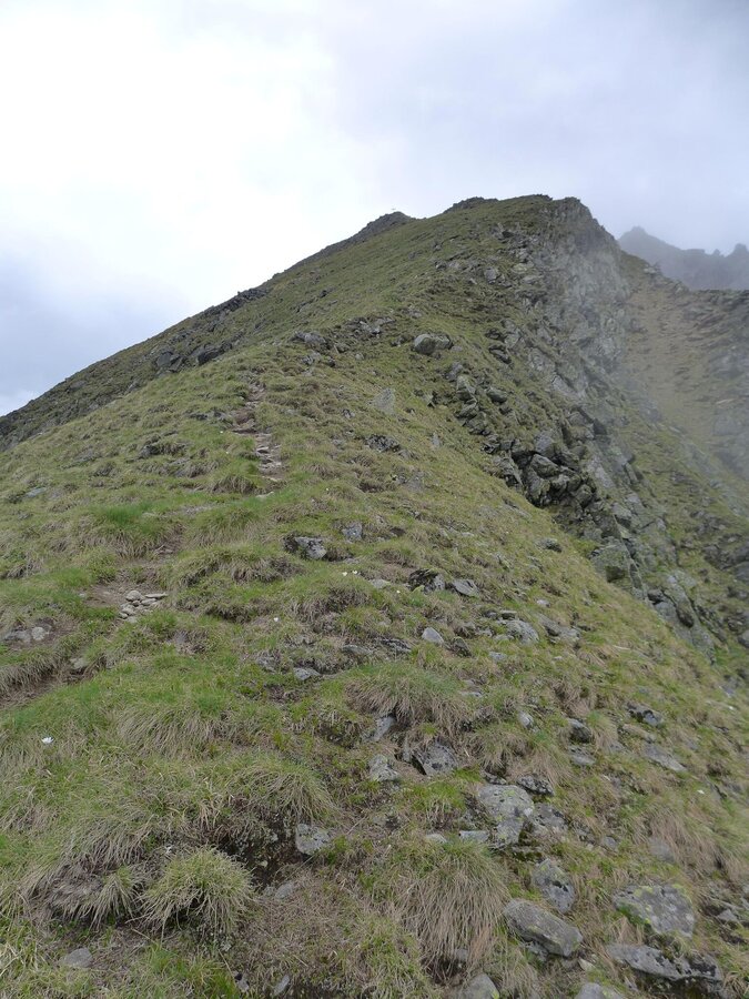
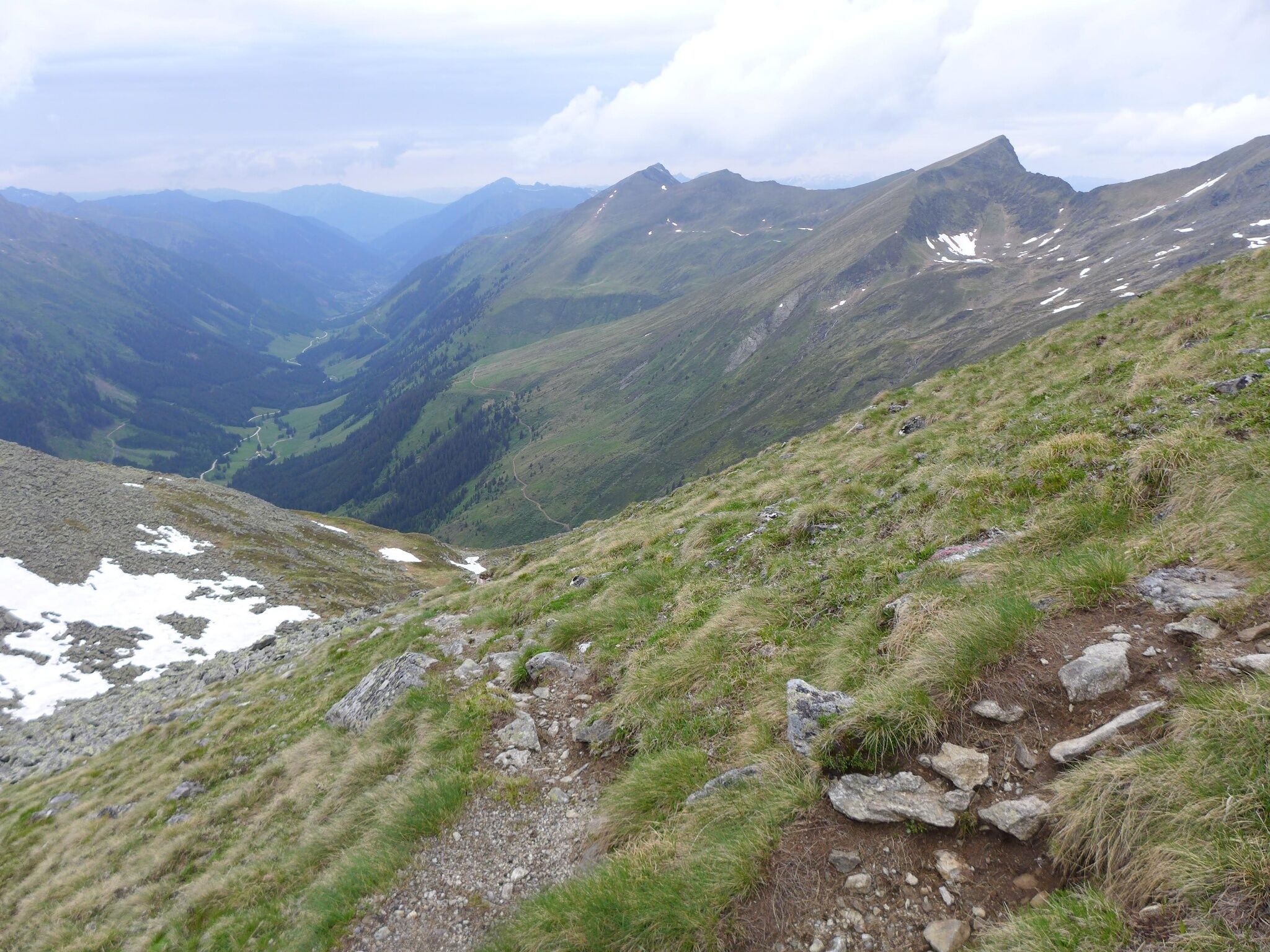
From the Winkleralm turn follow the road to the Winkleralm. After the Winkleralm, the path leads uphill through the forest. Shortly before the Mahdfeldalm the forest thins out, before you can enjoy the free view to the Deneck and the Großsölktal at the Mahdfeldalm. From the Mahdfeldalm follow the alpine pasture path (path 926 / long-distance hiking path 909) in south-east direction to the following fork (2,000m): Following the previous path, the direct path leads over the Haseneckscharte (2,205m) and then descending in the direction of Neunkirchner hut (1,535m) / Eselsberger huts.
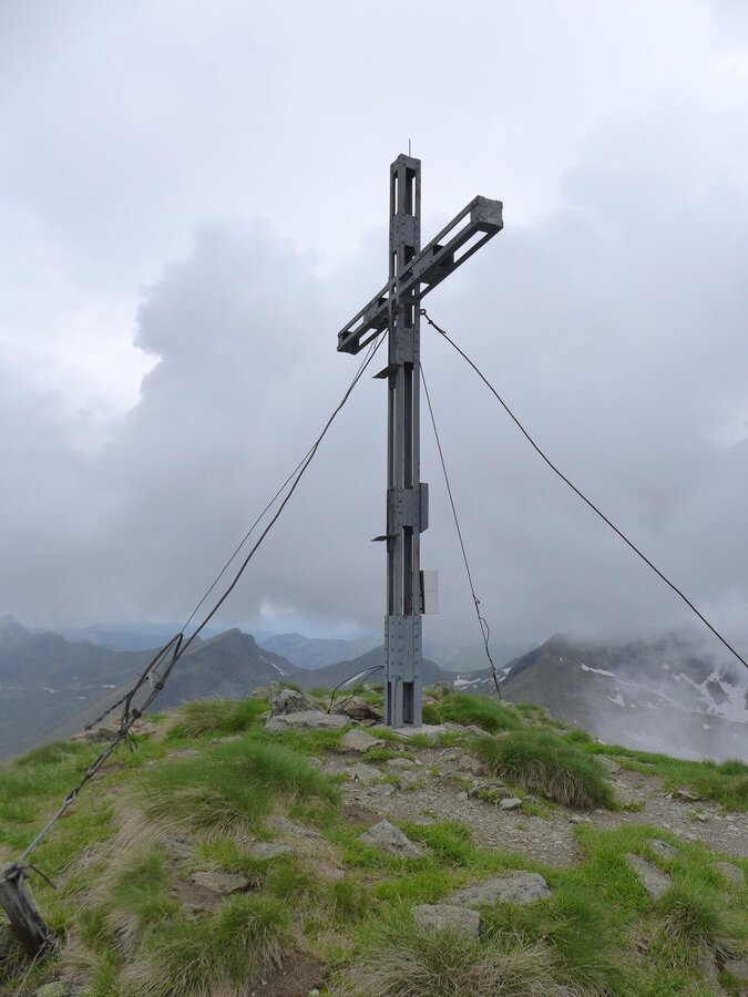
For the summit variant to the Hochstubofen, the path branches off to the right, crosses the mountain up to a shoulder, and then leads along the ridge to the summit of the Hochstubofen (2,385m). The descent from the summit takes place first in a south-easterly direction into the Rocklscharte, then in a northerly direction back to the main path (approx. 200m altitude difference, 1.5h). Turn right onto path 926 / long distance hiking path 909 to the Neunkirchner Hütte / Eselsberger Almhütten, where an overnight stay is recommended. Mountain hikers who are particularly fit can continue their hike after a refreshment.
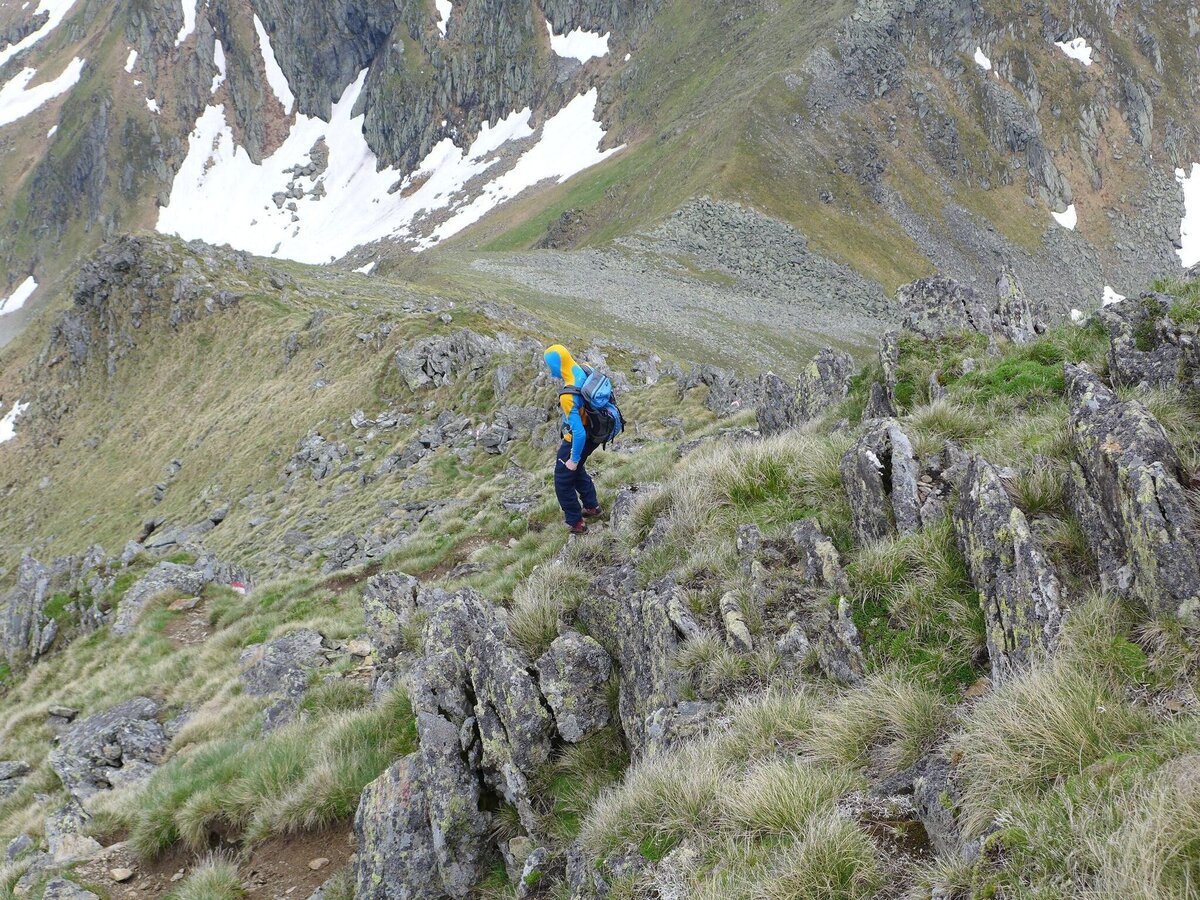
This takes place on path 918, first ascending into the Seifriedsenke (2,150m), then descending to the Seifriedalm and then moderately descending the extensive Seifriedtal along the Seifriedbach back to Mößna. From there you can take the valley bus back (only possible in the Styrian Summer vacations).
Cab Stefan Mayer: +43 676 54 09 858
Valley bus from July 11 to September 13, 2026 - this makes crossings in the Sölktäler Nature Park possible. You can also travel comfortably by train and the valley bus will take you to the starting point of your hike. Click here for the timetable.
Weather changes, rapid drop in temperature, thunderstorms, wind, fog and snow fields are objective dangers and require the right behavior on the way. Hut keepers are experienced mountain connoisseurs, they can give good tips on the weather and the course of the trail. Lack of equipment, overestimation of one's own abilities, carelessness, poor physical condition and a wrong assessment can lead to critical situations. During thunderstorms: avoid peaks, ridges and rope belays at all costs.
GPS data and orientation aids: Available GPS data - as well as hiking maps - are only an orientation aid, since they can never represent an exact image or the richness of detail of a path in reality. Especially in the case of danger spots, it must therefore always be decided in the end on the basis of the conditions on site whether and how the further course of the path looks like.
In case of emergency, please dial the following emergency numbers:
No. 140 - for alpine emergencies - Austria-wide
No. 112 - Euro emergency call GSM emergency call service
Take rainproof and warm clothes and enough water, possibly also a snack, wear shoes with non-slip profile soles. A first aid kit should also be in your backpack.
With an overnight stay at the Neunkirchner Hütte or the Almhütten of the Eselsberger Alp this very long tour can be divided into two shorter daily stages and there is more time to enjoy the wonderful nature!
With the valley bus relaxed and environmentally friendly from Stein/Enns to the starting point and back again!
Tour at your own risk! No liability will be accepted for any given or occurring alpine driving (weather, etc.).Mountain guides from the region: www.schladming-dachstein.at/mountainguides
For more information, please contact the Schladming Dachstein Tourist Office - Sölktäler Nature Park Information Center:
Phone: +43 3687 23310 501
mailto:info@schladming-dachstein.at
Stein an der Enns 107
8961 Sölk
The brochure “Schladming-Dachstein Hiking” is available in all information offices in the region.


