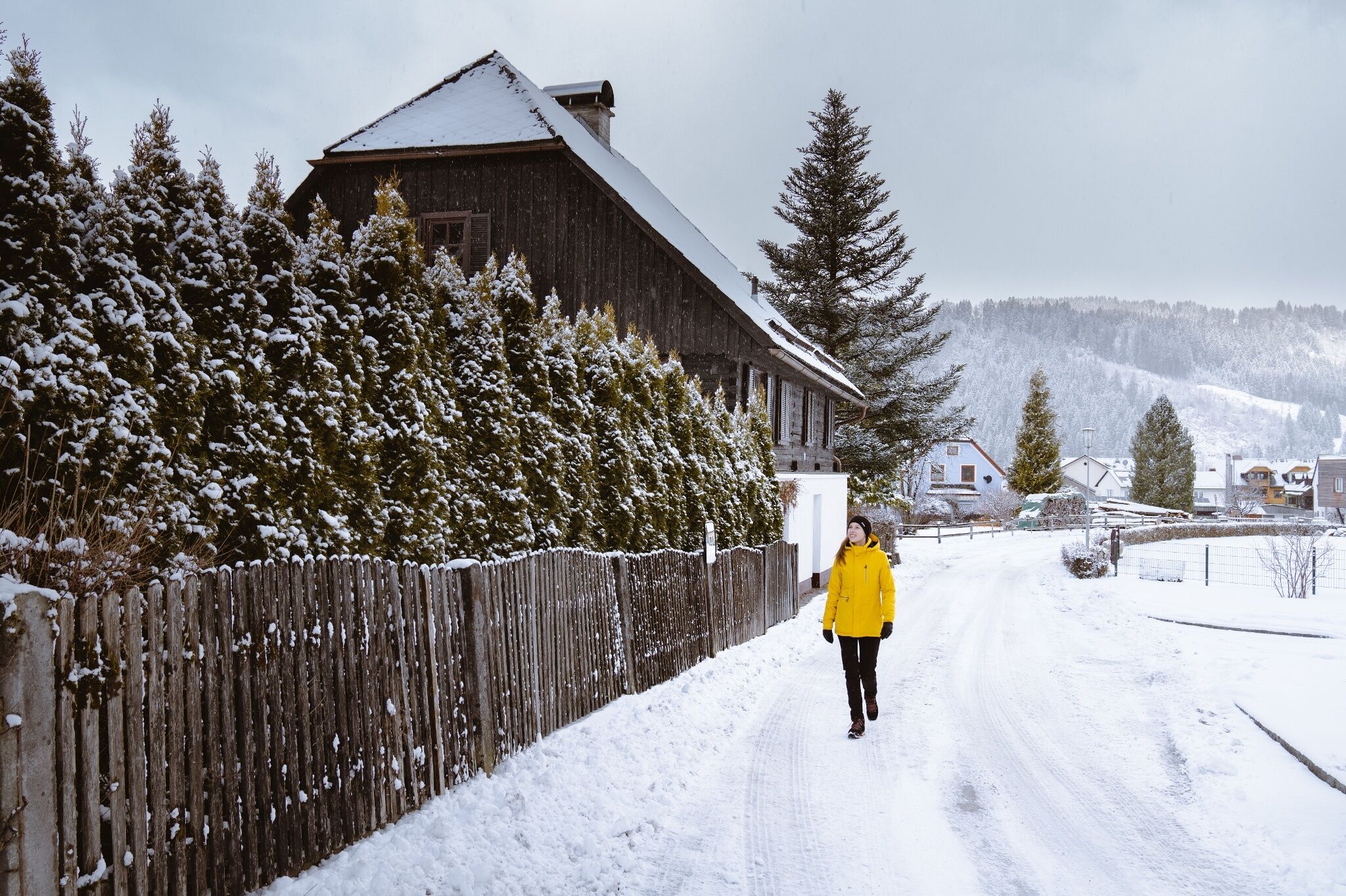
Winter hike into the Walchental valley
Tour description
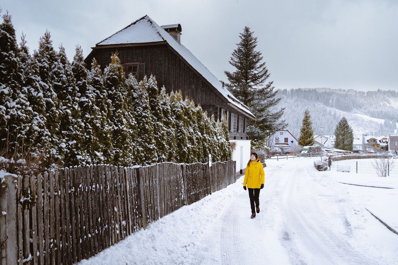
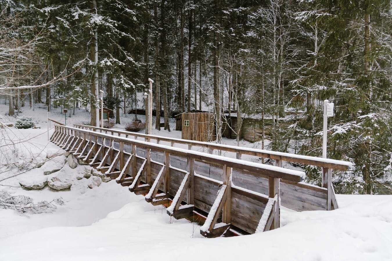
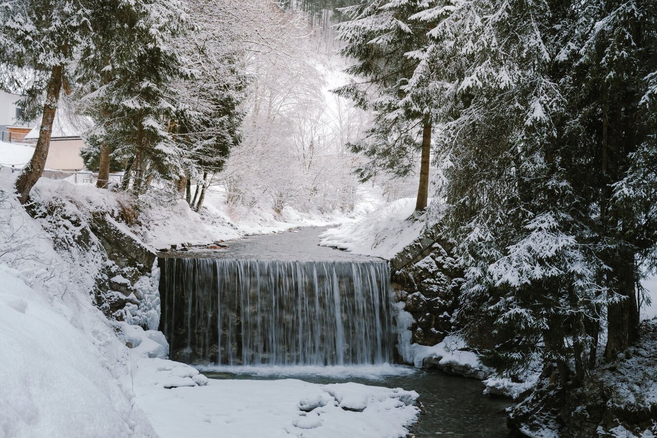
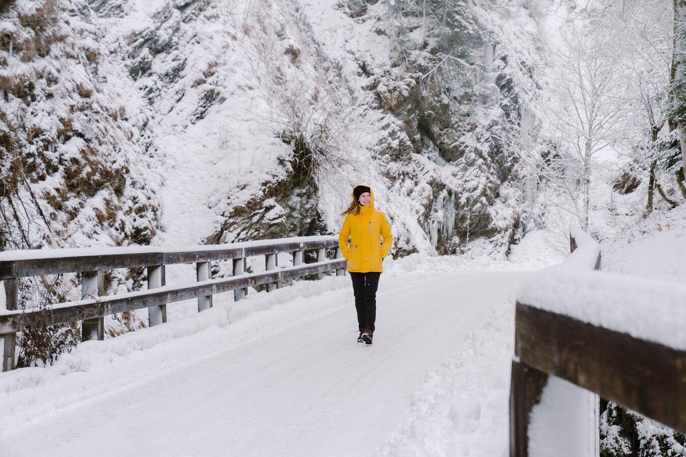
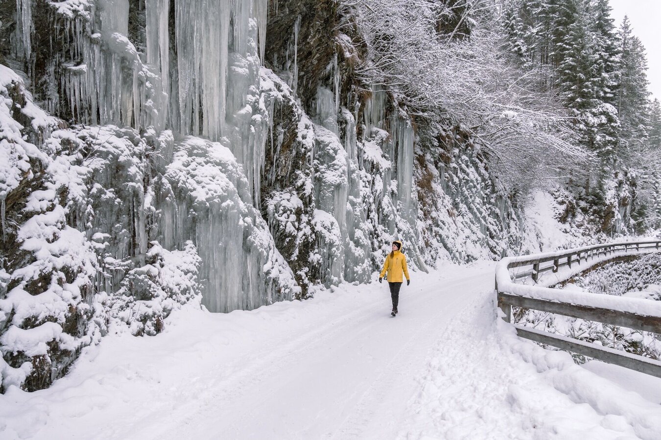
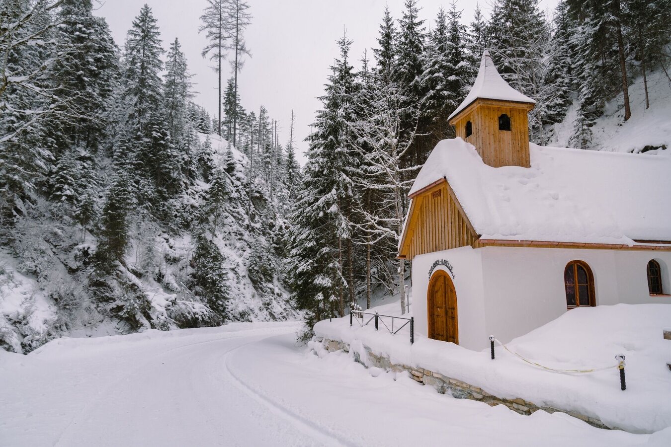
From the historic village center of Öblarn, you hike into the idyllic and quiet Walchental. Along the Walchen, there are repeated beautiful views of the stream landscape, and impressive ice formations hang from the rocks on both sides of the valley in some places.
The tour
Map, elevation profile & further information
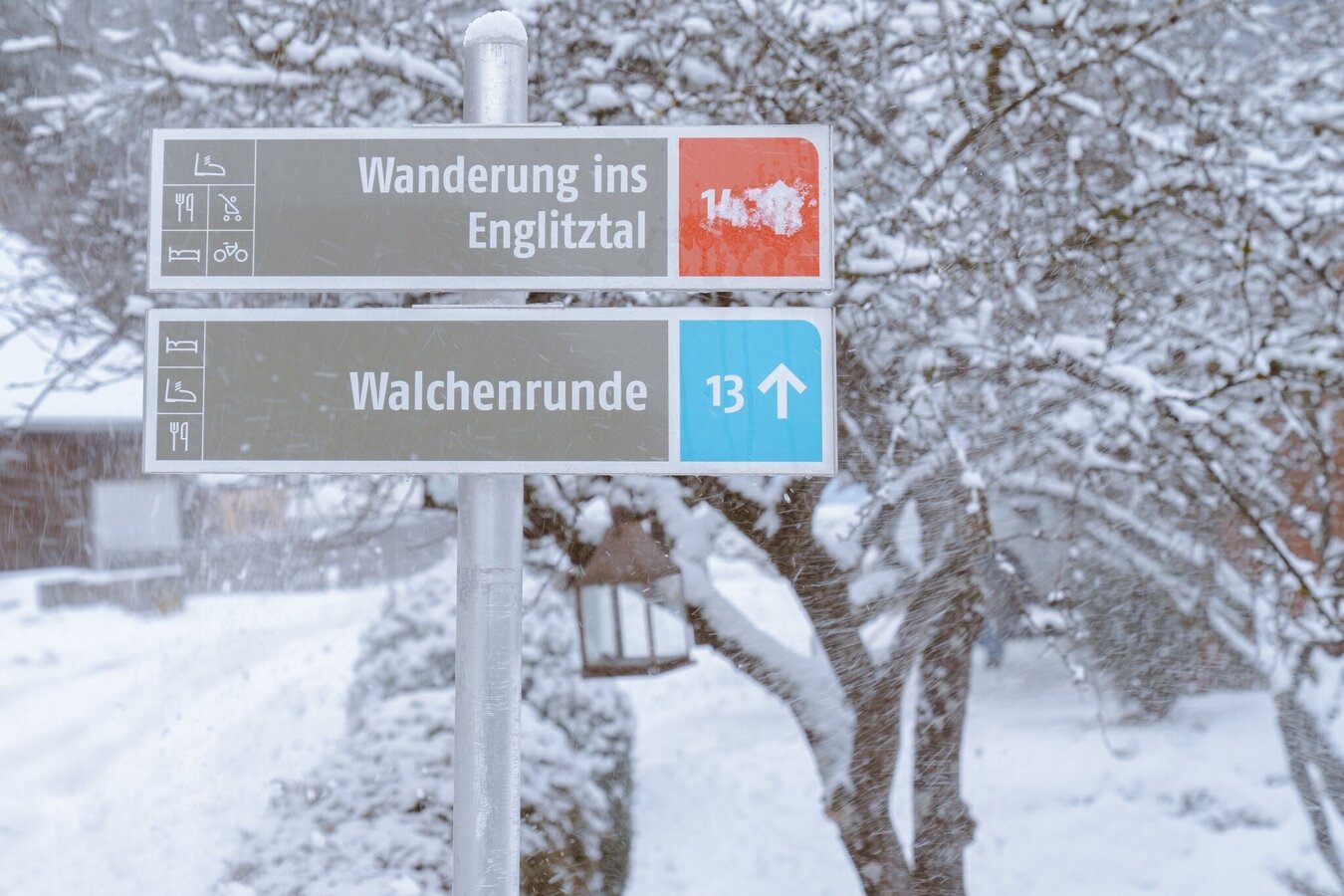
Trail signage from the village of Öblarn towards Walchental.
The route there and back is the same, duration 3 hours, low difficulty level.
From the west: By car on the B320 Ennstal-Bundesstraße, turn off at Sankt Martin towards Öblarn and continue to Öblarn.
From the east: By car on the B320 Ennstal-Bundesstraße, turn off at Espang towards Öblarn and continue to Öblarn.
In Öblarn: Follow the signs to the ÖHA.
Parking available at the ÖHA in Öblarn.
Öblarn can be reached by regional trains of the Austrian Federal Railways (ÖBB).
Your equipment should ideally include:
- Ankle-high, warm shoes. Waterproof, warm shoes with a treaded sole are ideal. Optional: gaiters as additional snow protection.
- Hat and warm clothing, preferably using the layering principle. Don't forget a change of clothes for longer winter hikes. Windproof and waterproof jacket and trousers.
- Possibly a small backpack with a warm drink in a thermos flask and snacks as needed.
- Sun protection
- Mobile phone
- First aid kit
- Optional: Microspikes/snow spikes ("snow chains" for shoes), telescopic hiking poles for better grip and balance.
Further information is available at the Schladming Dachstein tourist office - Infostelle Naturpark Sölktäler:
info@schladming-dachstein.at
Stein an der Enns 107
8961 Sölk
Phone: +43 3687 23 310-501
Winter leisure map Schladming-Dachstein MITTE, available at the region's information offices.