Gruberscharte
gemiddeld Freeride descents · Ramsau am Dachstein
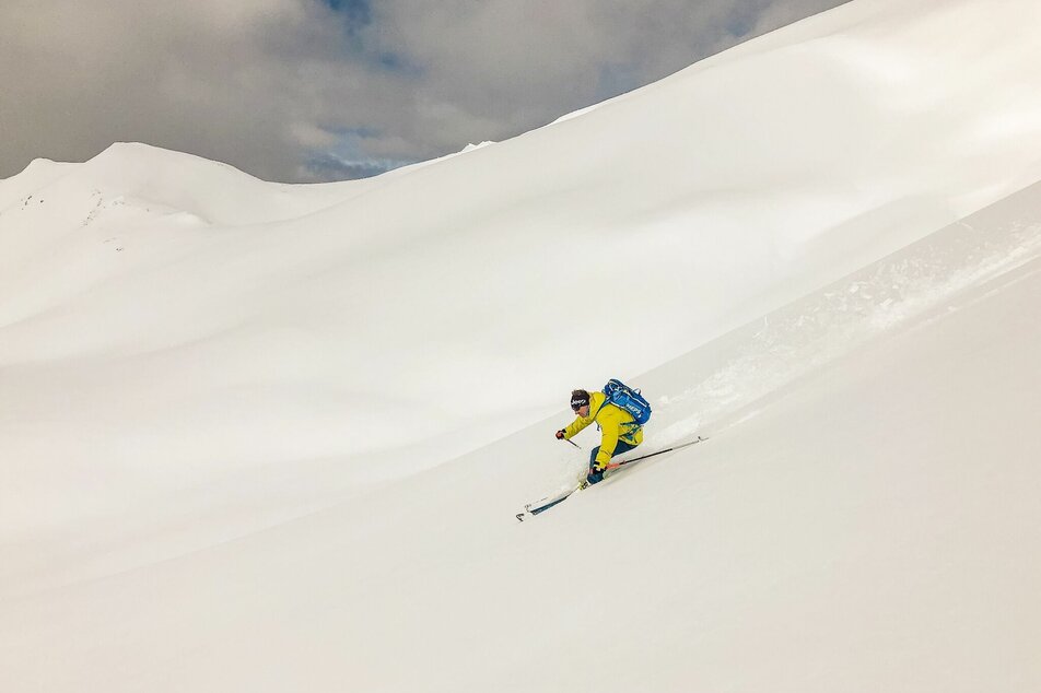
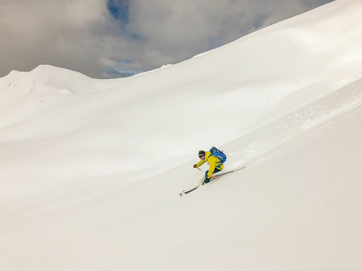
Enjoy a beautiful descent from the Gruberscharte, through the extensive Gruberkar to Ramsau am Dachstein. A technically-challenging descent of 1.150 vertical meters makes up for the 1h30 ascent.
Fotogalerij

Variant 1:
Ascent through the Rosmariestolllen or the Walchersteig - Via-Ferrata. Continue across Edelgrießhöhe to the Gruberscharte.
Variant 2:
From the Dachstein Gondola Mountain Station to the bottom station of the Mitterstein chairlift and around Landfriedstein to the Gruberscharte.
Descent via the Gruberkar to Ramsau am Dachstein.
From the west:
Tauern Autobahn (A 10) to Knoten Ennstal - turnoff direction Graz/Schladming - stay on the Ennstal-Bundesstraße (B320) for approx. 20 km until Schladming - take the turnoff for Ramsau.
From the north:
Pyhrn Autobahn (A 9) direction Liezen - take the Ennstal-Bundesstraße (B320) to Schladming - turnoff Ramsau.
Bus schedule of the Ramsauer Verkehrsbetriebe: www.rvb.at
Dachstein Gondola Bottom Station, Gasthof Edelbrunn or Congress Center Ramsau Ort
Taking a mountain guide with you is highly recommended!
This tour is only possible in the best environmental conditions (avalanche warning 1 or 2).
Read the avalanche report at www.lawine-steiermark.at.
All information has been collected with the utmost care. The use of this information is exclusively at your own risk and at your own risk, therefore you are solely responsible.
Therefore, no liability is assumed for any accidents or damages of any kind.
To go on a tour without proper preparation and equipment is reckless. Not only your own life is easily risked, but also that of your fellow mountaineers in the same region.
Must-haves: avalanche transceiver, mobile phone, shovel, avalanche probe, first aid kit, sufficient food and drinks, possibly additional clothing to change.
On the day of the tour: Read the avalanche situation report and weather forecast and check what effects it will have on your planned ski tour: possibly adjust or cancel the ski tour. Are all participants fit and healthy enough to go on the tour? If not, change or cancel the ski tour.
- Safety equipment (shovel, probe, avalanche transceiver)
- ABS-backpack recommended
- Via-Ferrata equipment for access via the Austriascharte (Rosmariestollen/Walchersteig)
For more detailed information, please contact a local mountain guide:
Bergführerbüro Ramsau am Dachstein, Die Bergstation, Alpincenter Dachstein, Alpinschule Dachsteinguides, Alpinschule Dachstein
AV-Karte Blatt 14 AV-Karte Blatt 14


