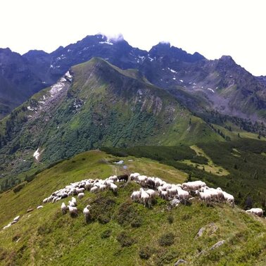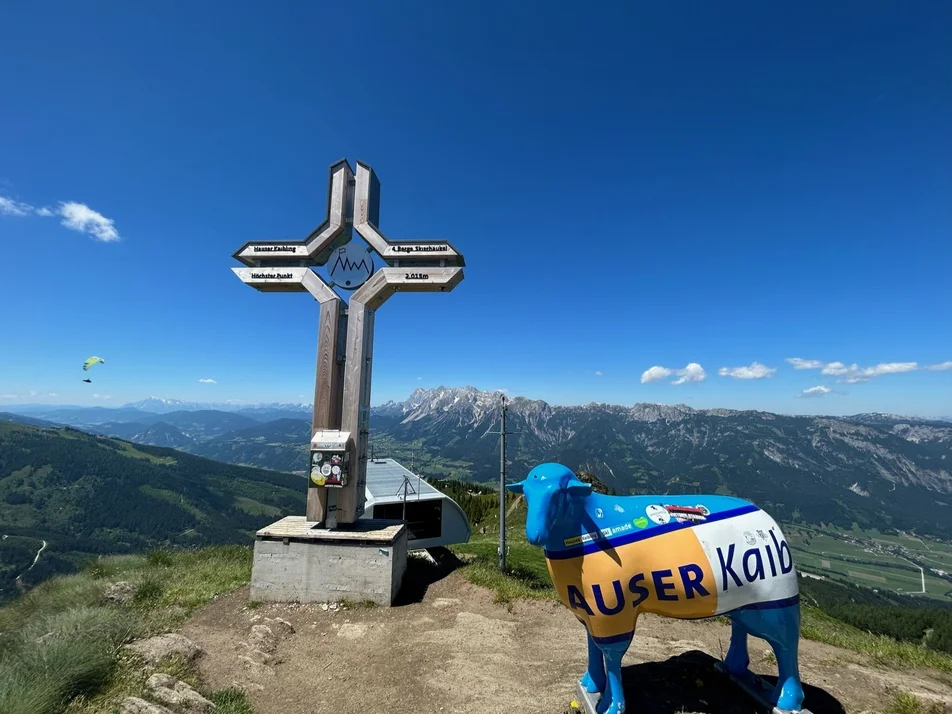
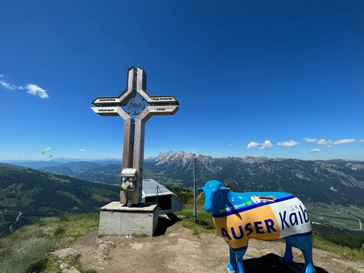
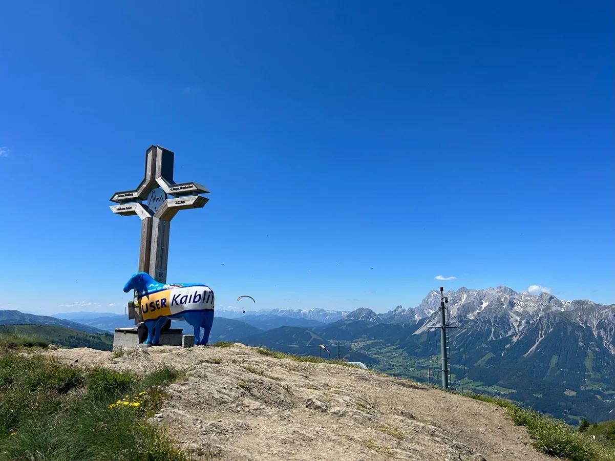
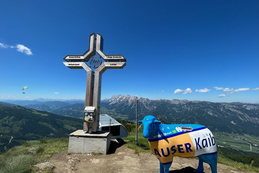
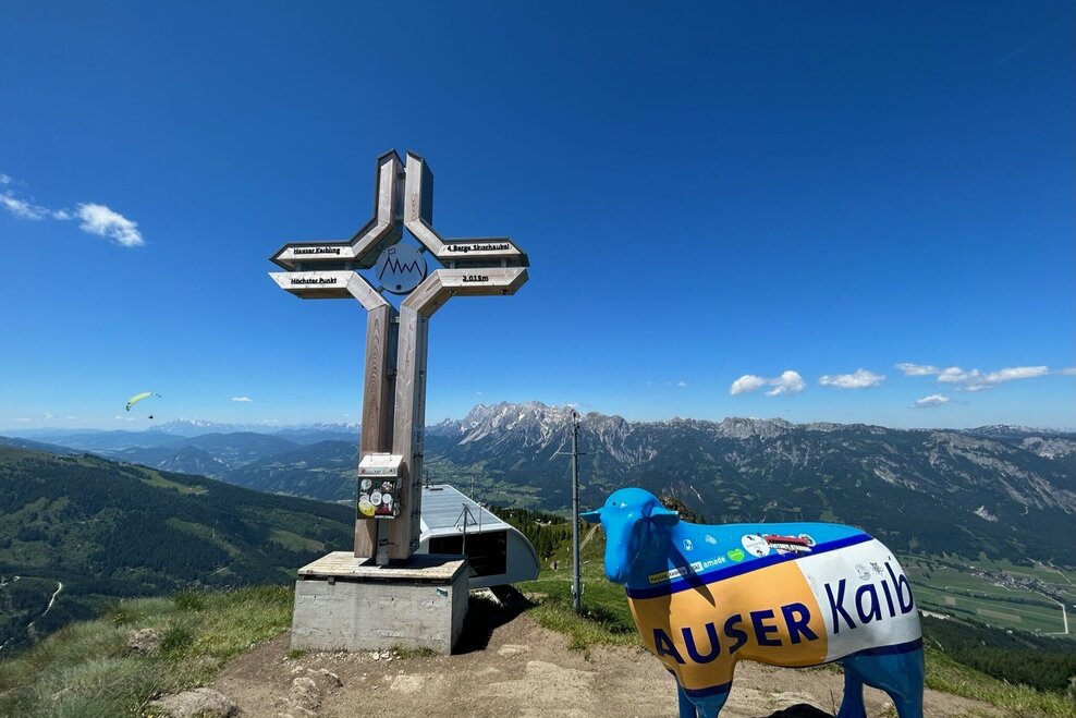
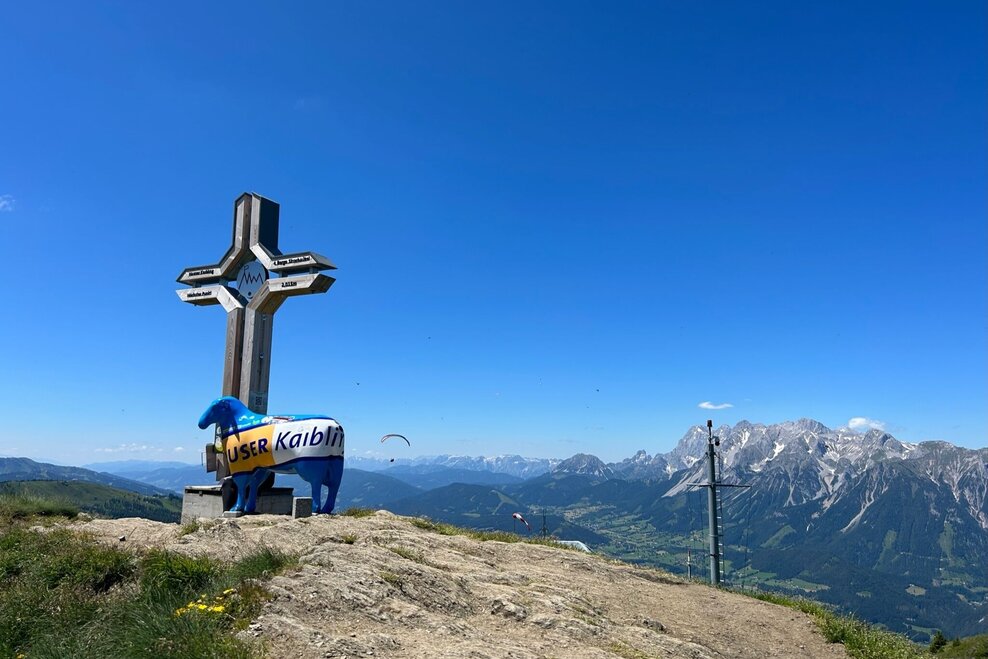
Hauser Kaibling summit (2.015 m)
gemiddeld partially opened Hiking · Haus-Aich-Gössenberg
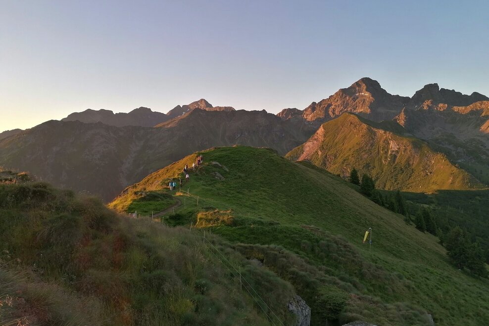
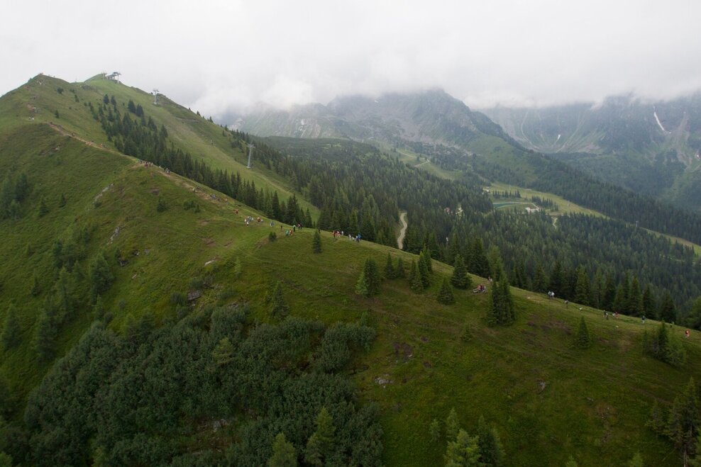
Fotogalerij


Option 1
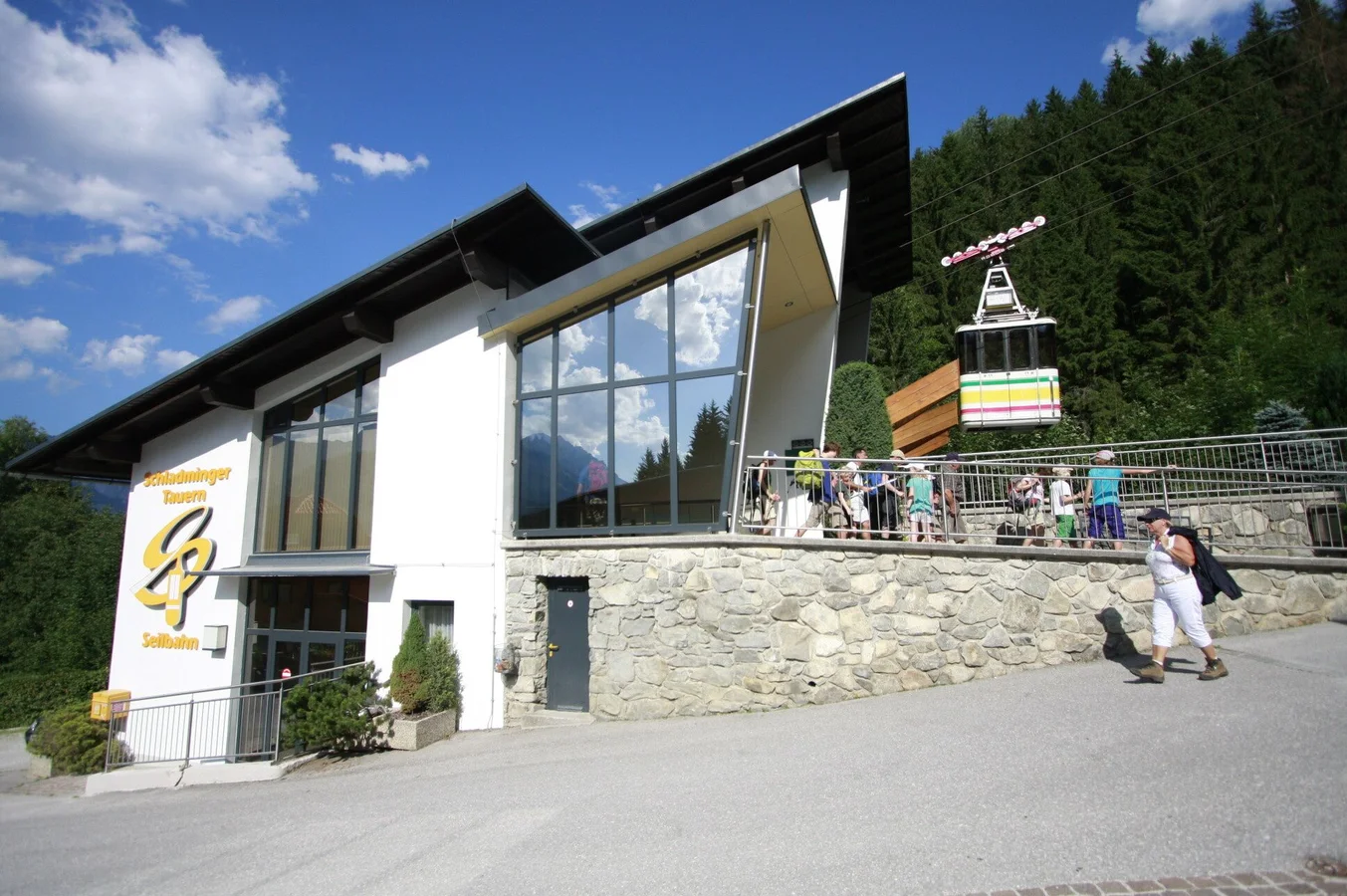
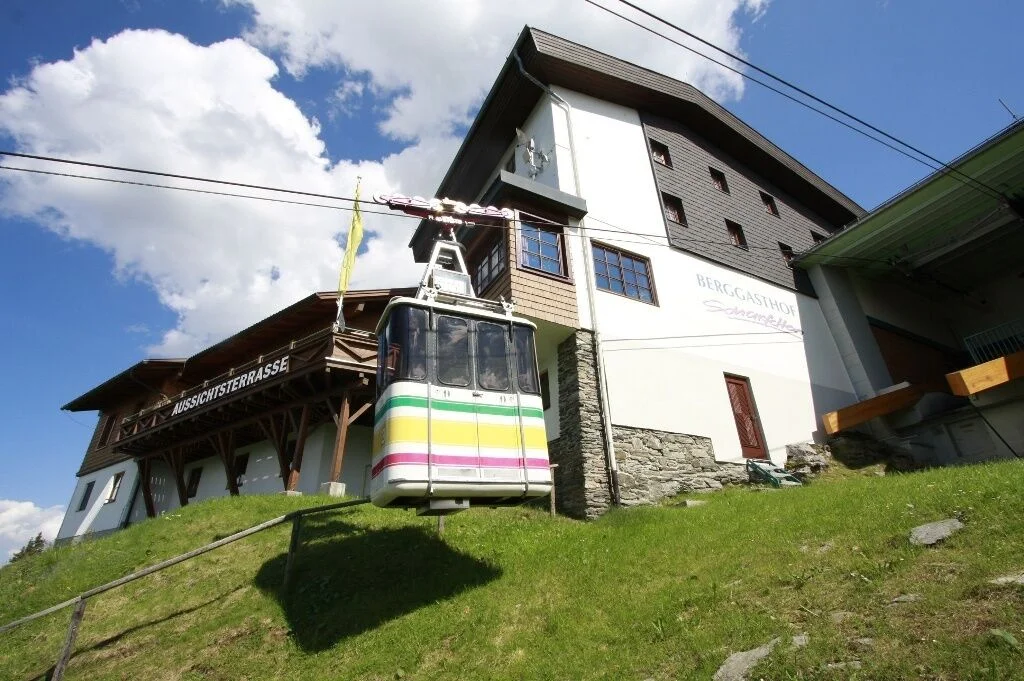
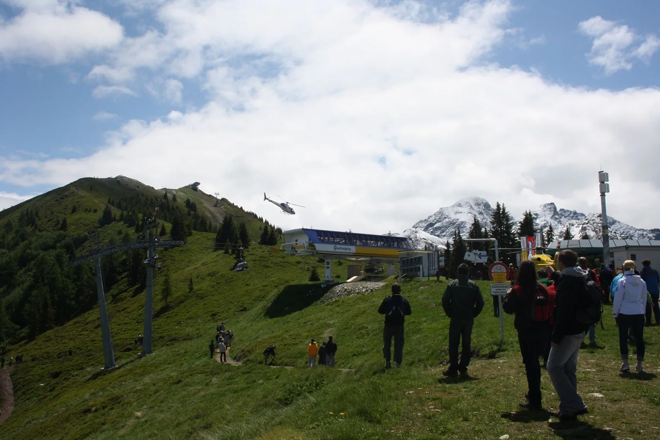
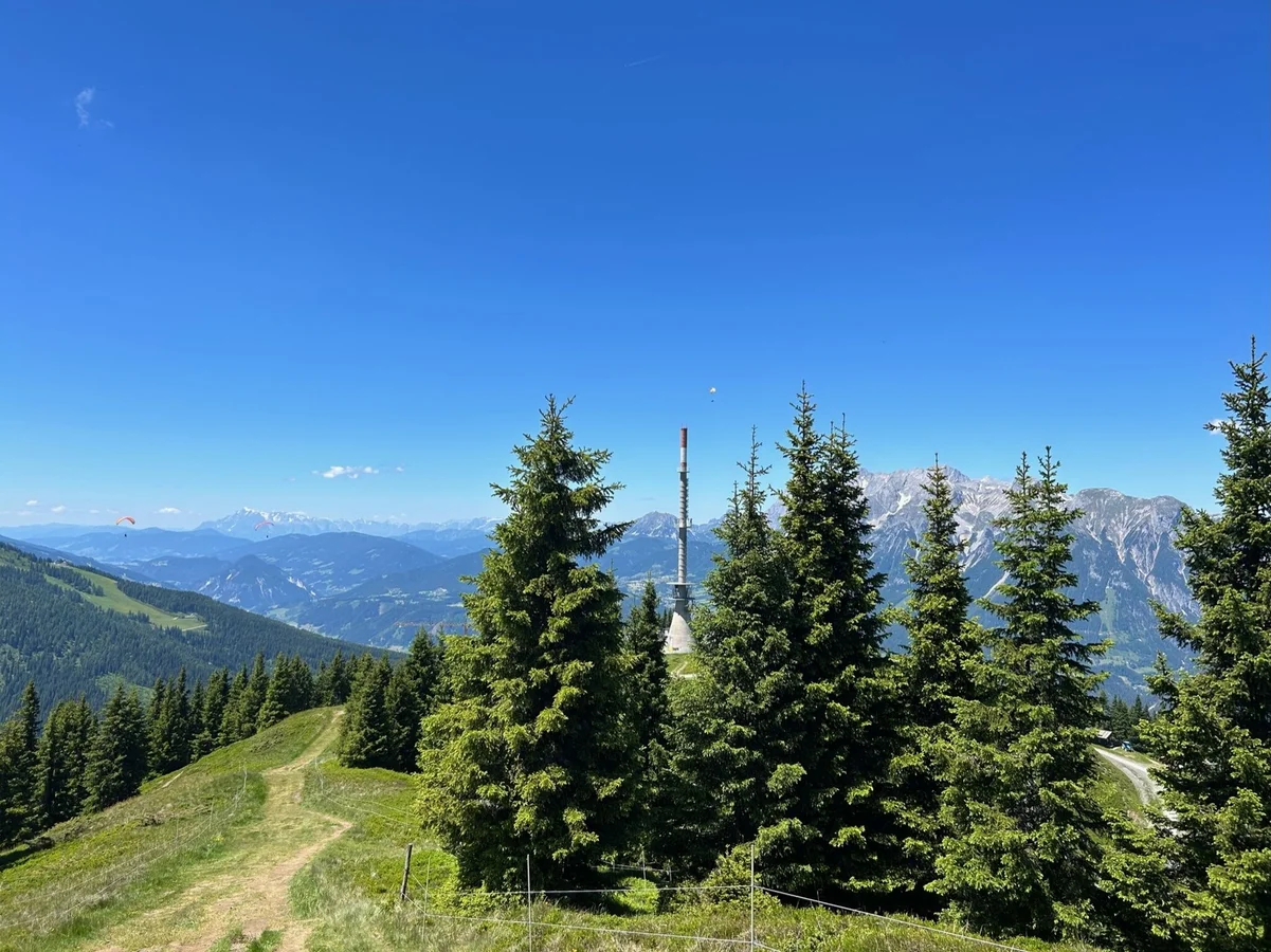
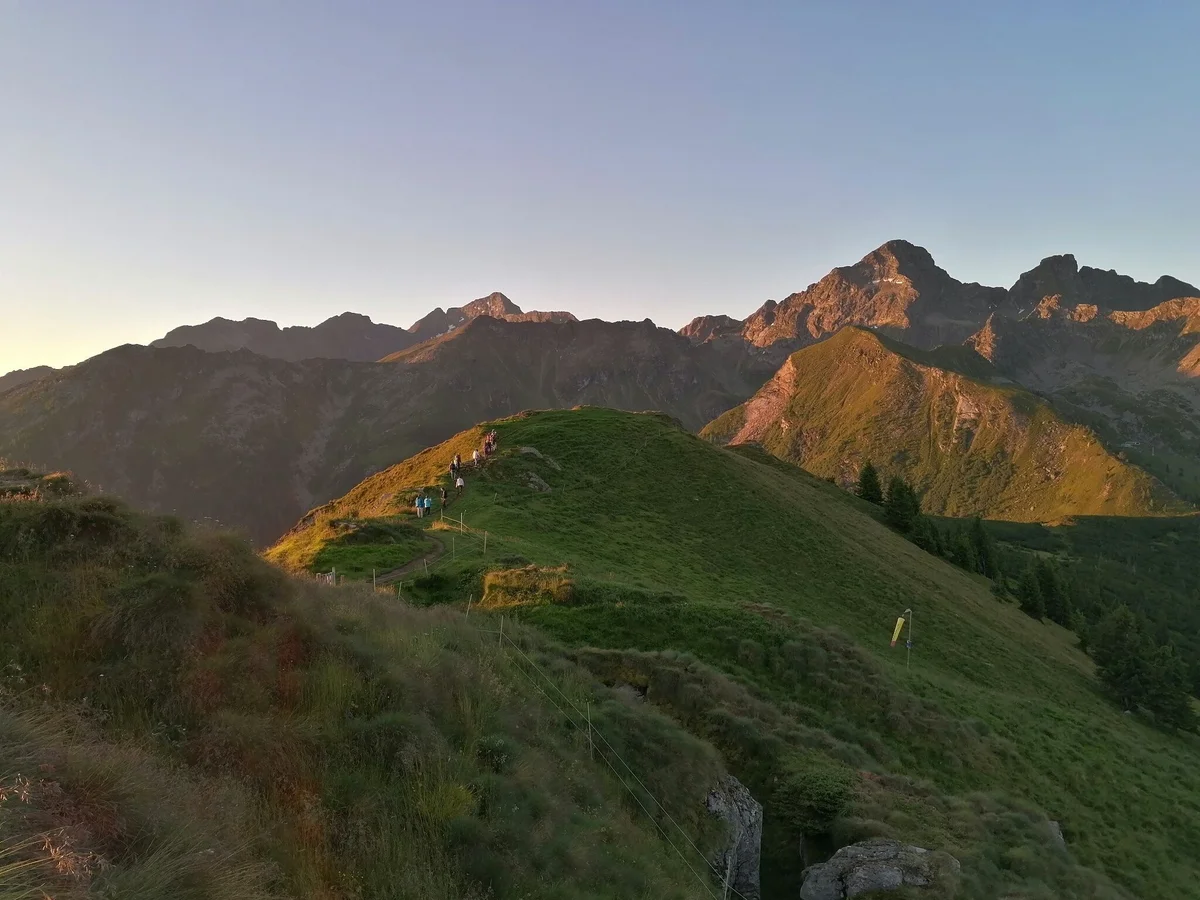
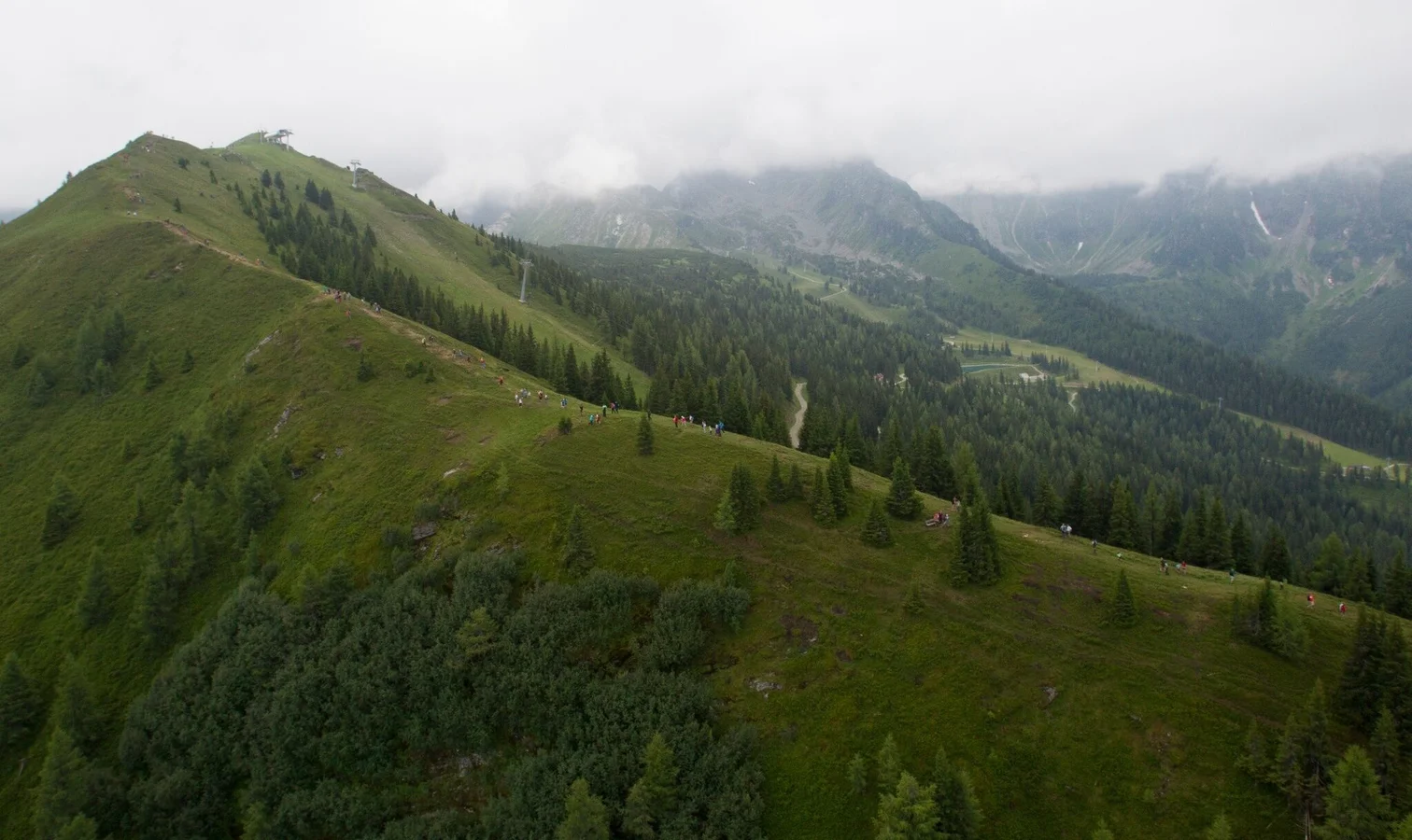
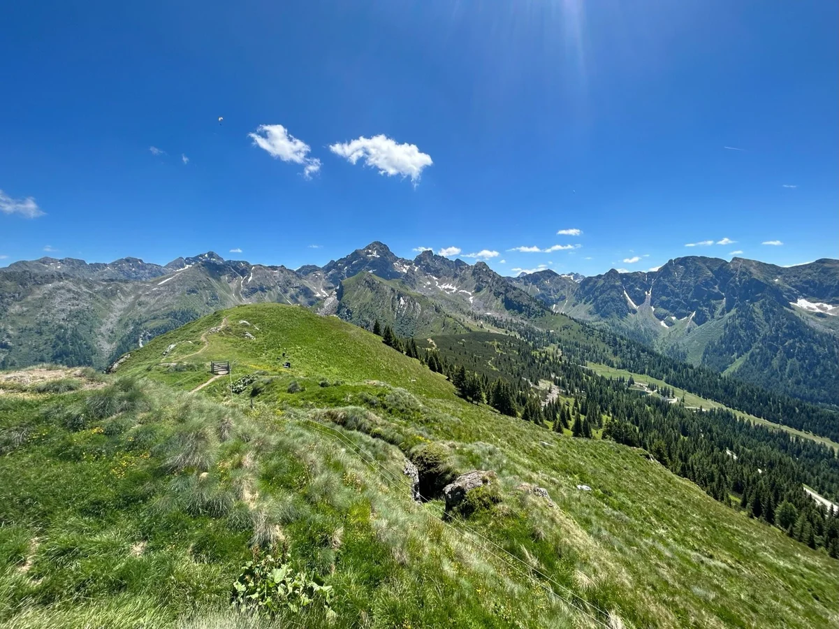
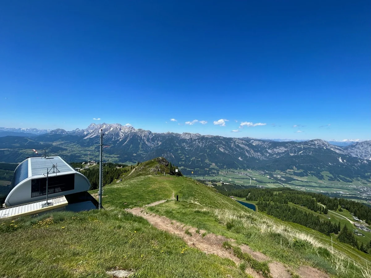
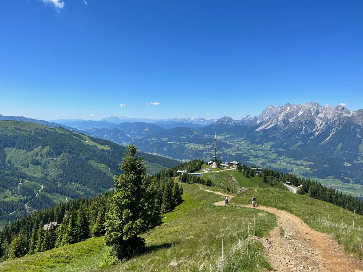
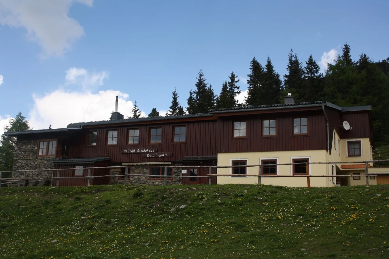
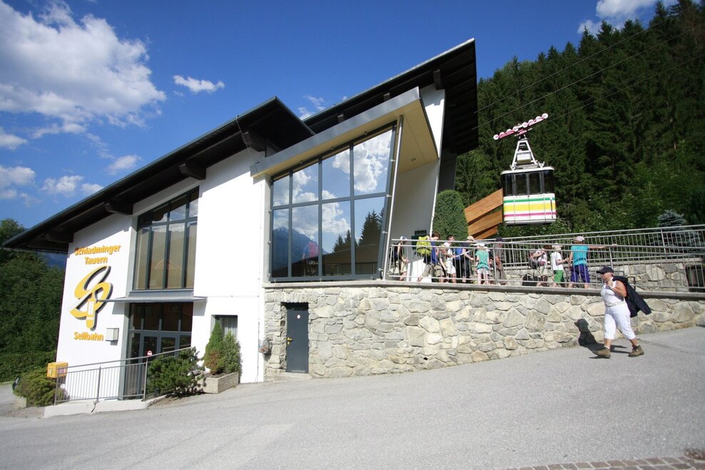
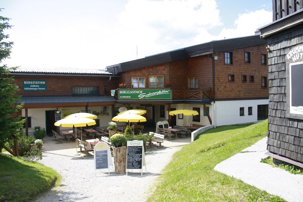
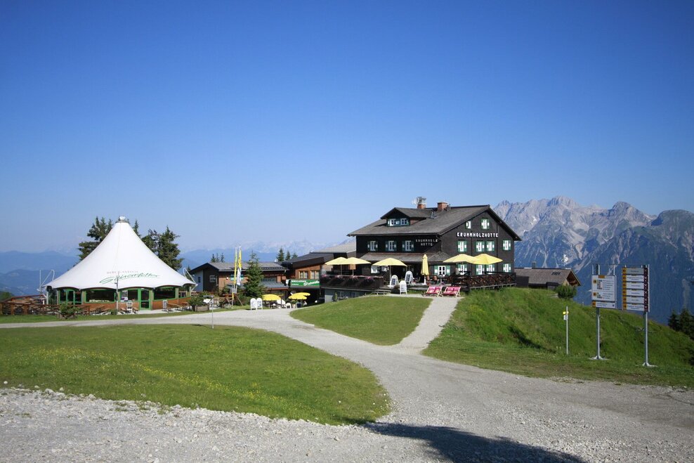
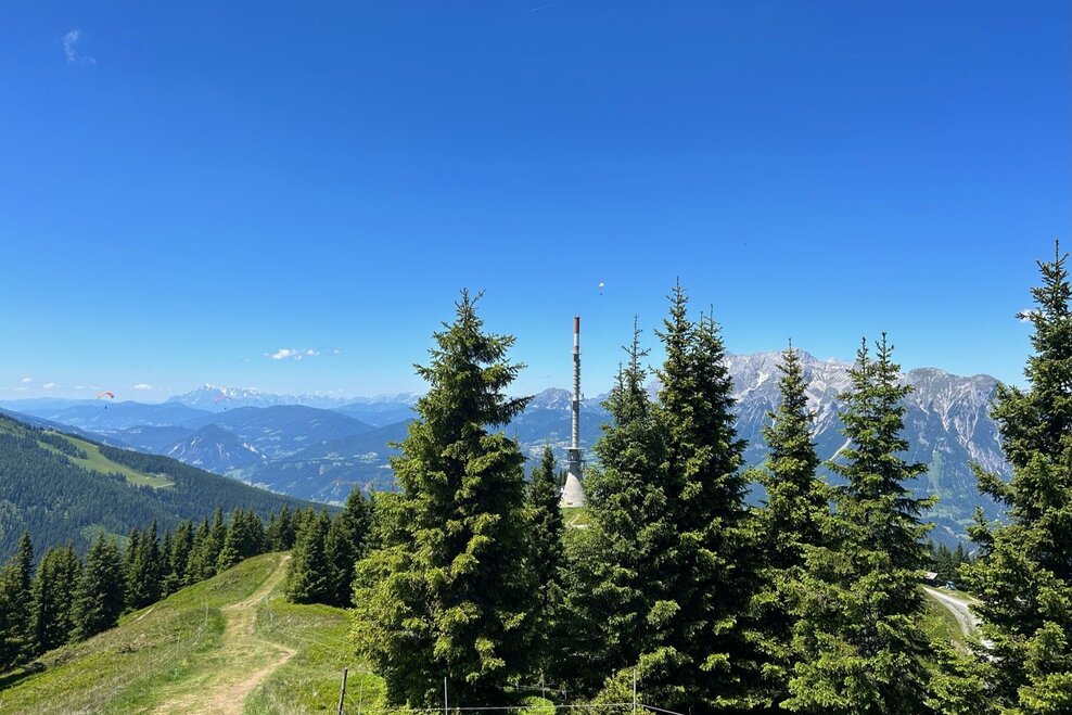
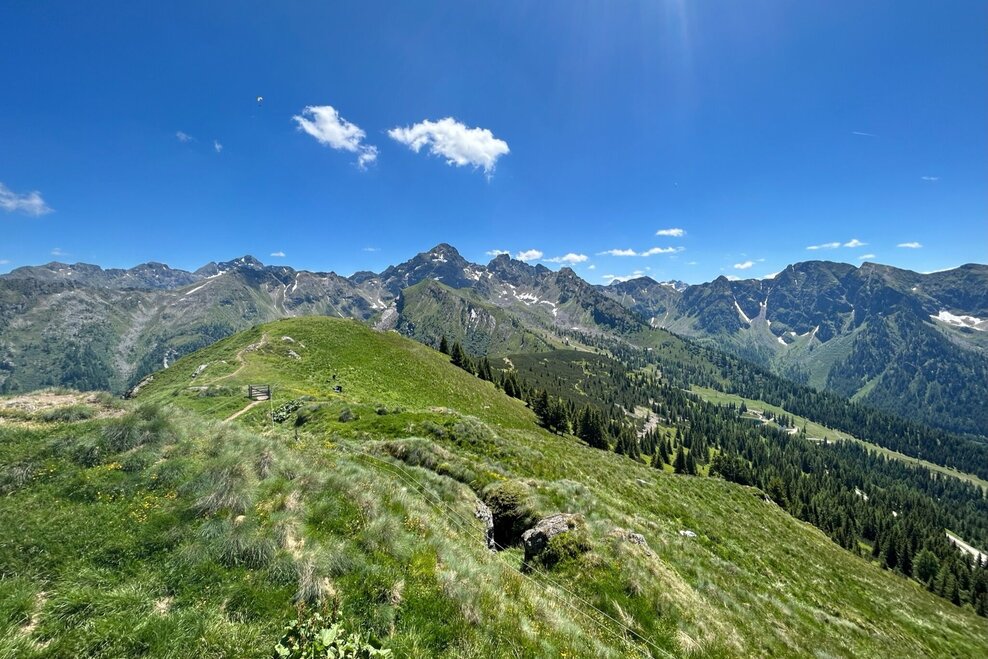
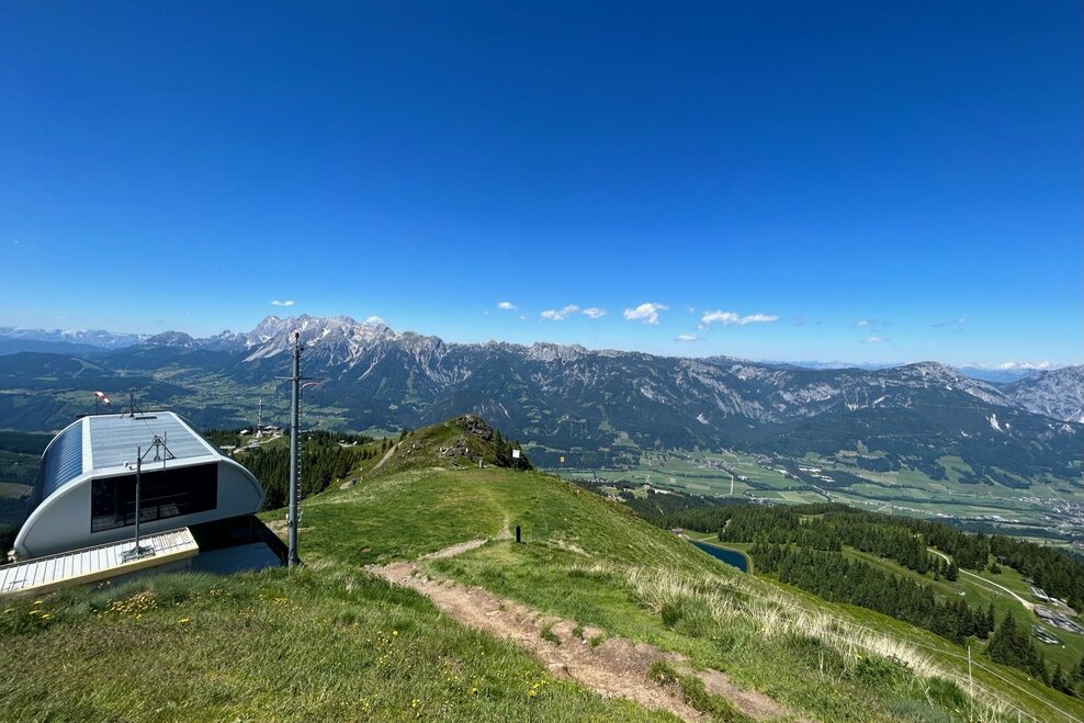
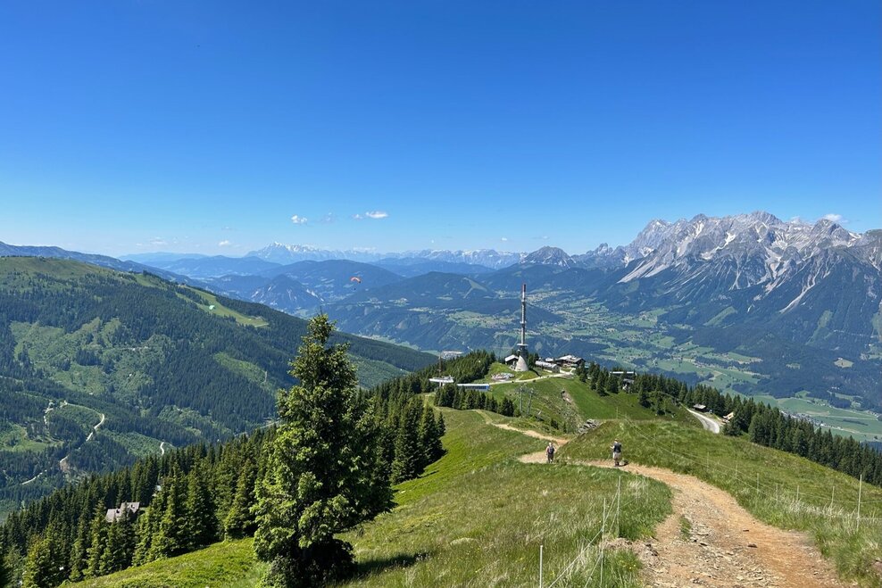
The great difference in altitude can be comfortably overcome with the Schladminger Tauern cable car or Hauser Kaibling 8-seater gondola lift & Quattralpina 4-seater chairlift. First we head towards the transmitter. From there, we take hiking trail no. 44 towards the Hauser Kaibling summit. The half-hour ascent to the summit of the Hauser Kaibling (2,015 m) offers great views and the summit panorama is magnificent. The descent to the Rossfeldsattel requires some attention due to the root path. From the Rossfeldsattel, the path leads to the Kaibling Alm. Tip: Take a short detour to the keep (approx. 15 minutes longer). From the Kaiblingalm, it's a short downhill walk to the beautifully landscaped reservoir. We walk around it and on a wide alpine path we return to the mountain station of the Schladminger Tauern cable car.
Option 2
From the mountain station of the cable car to the Hauser Kaibling summit and directly back to the mountain station (time required: approx. 50 min.)
Ennstalbundesstraße (B320) - Haus im Ennstal:
- valley station Schladminger Tauern cable car (above the catholic church in Haus im Ennstal)
- valley station Hauser Kaibling cable car (directly next to the main road)
- Postbus (L900) - Exit: Haus Ort oder Hauser Kaibling Seilbahn
- between end of May and mid October: Planaibus (Line: Schladming - Haus - Steirischer Bodensee)
Here you will find all hiking maps and important brochures to download.
Safety information Safety on the mountainside: changes in the weather, sudden fall in temperature, thunder storms, wind, fog and snow fields are all objective dangers and require the correct behaviour whilst underway. The landlords of the huts are all very knowledgeable about the mountains and can give you good tips about the weather and the routes. Insufficient equipment, exaggerated opinion of ones capabilities, frivolousness, poor health condition and a false evaluation of the situation can lead to a critical situation. In thunder storms: summits, crest-sites and safety rope aids are to be avoided.
If something should happen call following emergency numbers:No. 140 - the number for all Alpine Emergencies in all of AustriaNo. 112 - European emergency call GSM emergency-call-service