Winter hike Fürstensteig
gemiddeld Winter hiking trails · Stainach-Pürgg
Tourkenmerken
Conditie
Techniek
Tourinformatie
Parcours: 5.58 km
Duur: 02:00 h
Beklimming: 250 m
Afdaling: 250 m
Beste jaargetijde
Januari
Februari
Maart
April
Mei
Juni
Juli
Augustus
September
Oktober
November
December
De tour
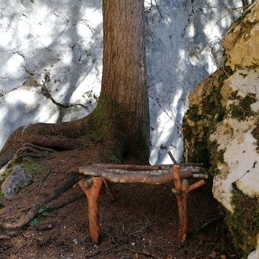
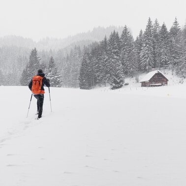
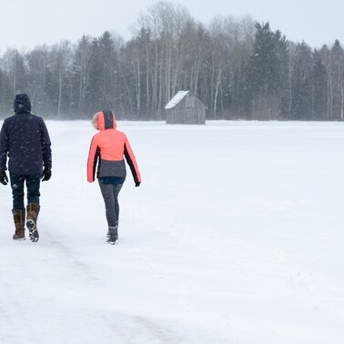
Between Wörschach and Niederhofen you will discover this fine trail through the forest along rock walls and a nice brook, which is fortunately not only reserved for blue bloods. In Niederhofen you will return near the Friedstein Castle. Here you have the choice how to start the way back. The same way back through the forest or the somewhat easier, flatter way along the accompanying road to the main road - just as you like or your feet still want.
Nadere informatie
Start
Coming from Schladming or Liezen, turn off the B320 in Wörschach, drive through the village in the direction of the town center until you reach the municipal office.
Take the 940 bus to the "Wörschach Ort" stop. Nearby is also the starting point of the hike.Bus schedule: www.verbundlinie.at
The nearest train station is in the village, but only regional trains stop here.Train timetable: www.oebb.at
Parkeren
A free parking lot is located directly at the municipal office.
Start
Community Office Wörschach
Bestemming
At the starting point
Equipment
- Plan your trip in advance, taking into account walking time, distance, elevation gain, hazards, and weather reports.
- Let others know where you are going and when you want to be back.
- Turn back in time if the weather deteriorates.
- Stay on the marked trails.
- If you are a dog owner: keep your dog on a leash and make sure it is quiet.
- The tourist office does not assume any liability based on the information provided.
- Winter mountain boots or sturdy shoes with a good profile
- Clothing according to the weather forecast
- Backpack with small food
Tip van de auteur
At the end of the hike a stop for coffee and the finest cake at Gasthaus Weitgasser.
Overige informatie en links
Tourism information: www.schladming-dachstein.at
Tourism blog: www.derbergdastal.at
Tourist Office Schladming-Dachstein
Ramsauerstrasse 756
8970 Schladming
T: +43 3687 23310
Garbage on meadows and paths can not smell mountain and valley. Please take it with you. Agriculture and forestry are important partners for Berg und Tal. They allow you to walk and drive on many of their paths. Be aware that only good cooperation will guarantee your recreational enjoyment in the future.
- GRIMMING-DONNERSBACHTAL Hike & Bike Map (1:31.000). Available free of charge at the tourist offices of Berg & Tal.
- SCHLADMING-DACHSTEIN Hike Map (1:50.000)
- KOMPASS Map 68, Ausseerland-Ennstal 1:50.000, Hiking, Biking, Ski tours
Weersvooruitzichten
Datum kiezen
Some clouds in the morning, lateron much sunshine and hardly any clouds
Dry and bright with plenty of sunshine, clouds will be rare.
Morning clouds will clear gradually. Then frequent sunny periods.