Obertauern Tour
partially opened Motor sport · Gröbminger Land
Aktualny warunek
14/11/2024 - 20/05/2025
The Sölkpass has been closed in winter since 14.11.2024. It is possible to drive from Stein/Enns to the village of St. Nikolai!
Informacje o wycieczce
Trasa: 164.9 km
Okres obowiązywania: 03:00 h
Wejście: 2838 m
Zejście: 2838 m
Najlepsza pora roku
Styczeń
Luty
Marzec
Kwiecień
Maj
Czerwiec
Lipiec
Sierpień
Wrzesień
Październik
Listopad
Grudzień
Wycieczka
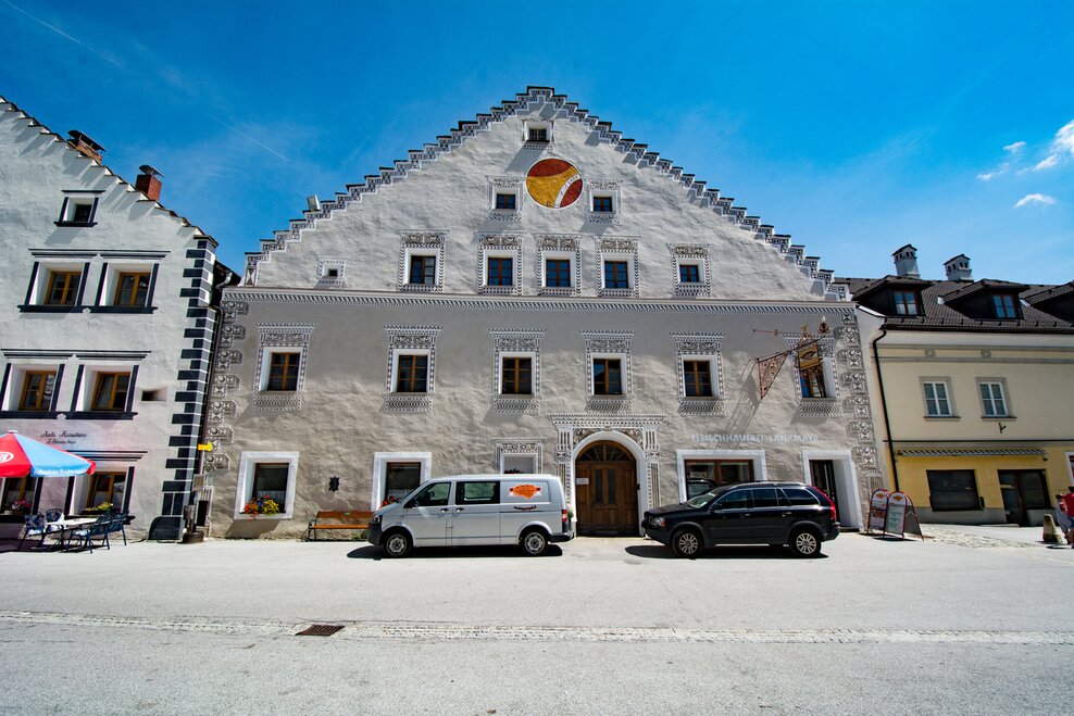
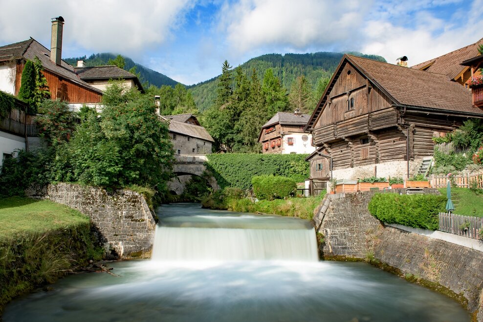
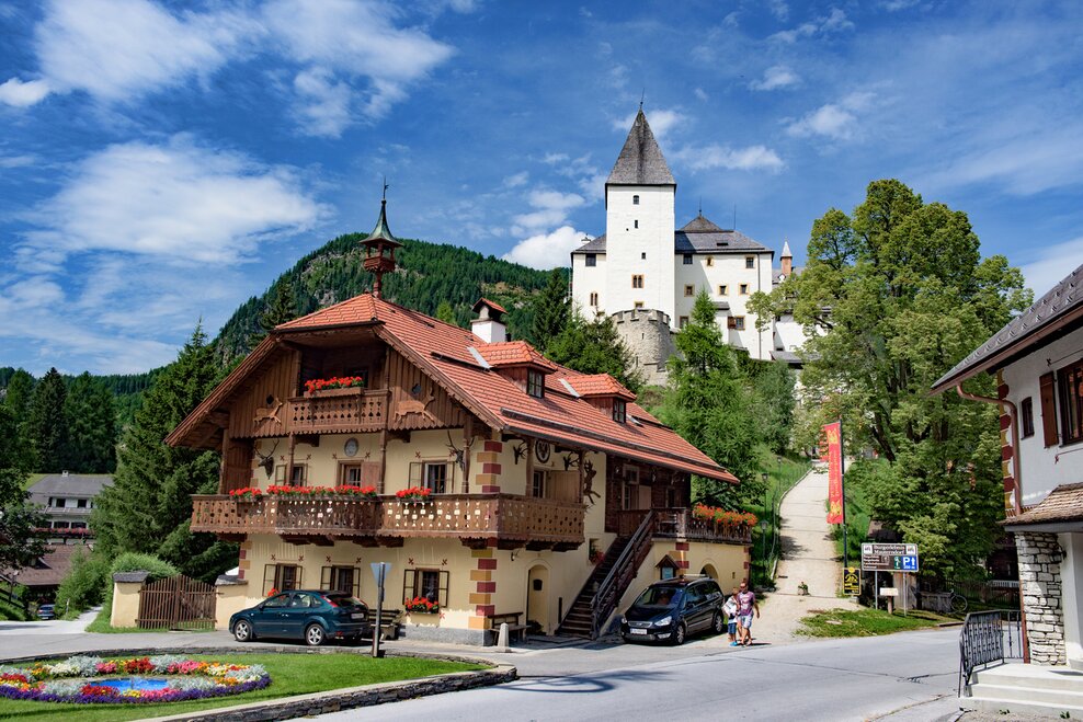
The rivers Enns and Mur have one thing in common. Both spring from the same mountain range. The Upper Ennstal and the Upper Murtal, both running from west to east, almost parallel to each other, separated only by the primary rock heights of the Niederen Tauern, have always had a certain affinity. Historical places line these traces of the ENNSTAL CLASSIC above the Radstädter Tauern, through the Lungau,
Dalsze informacje
Opis drogi
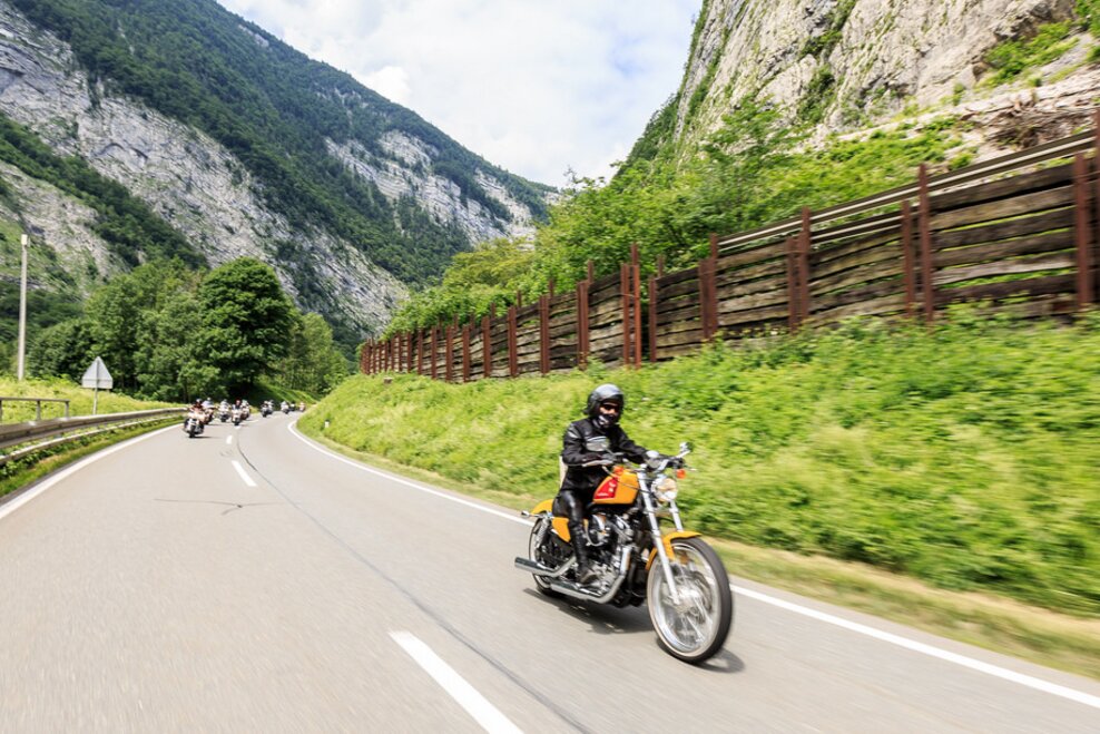
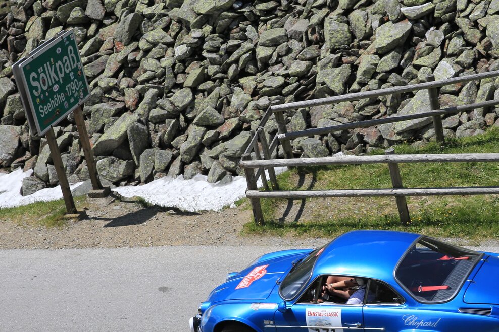
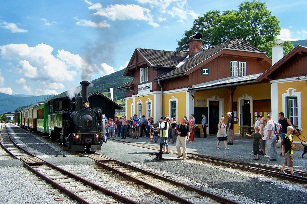
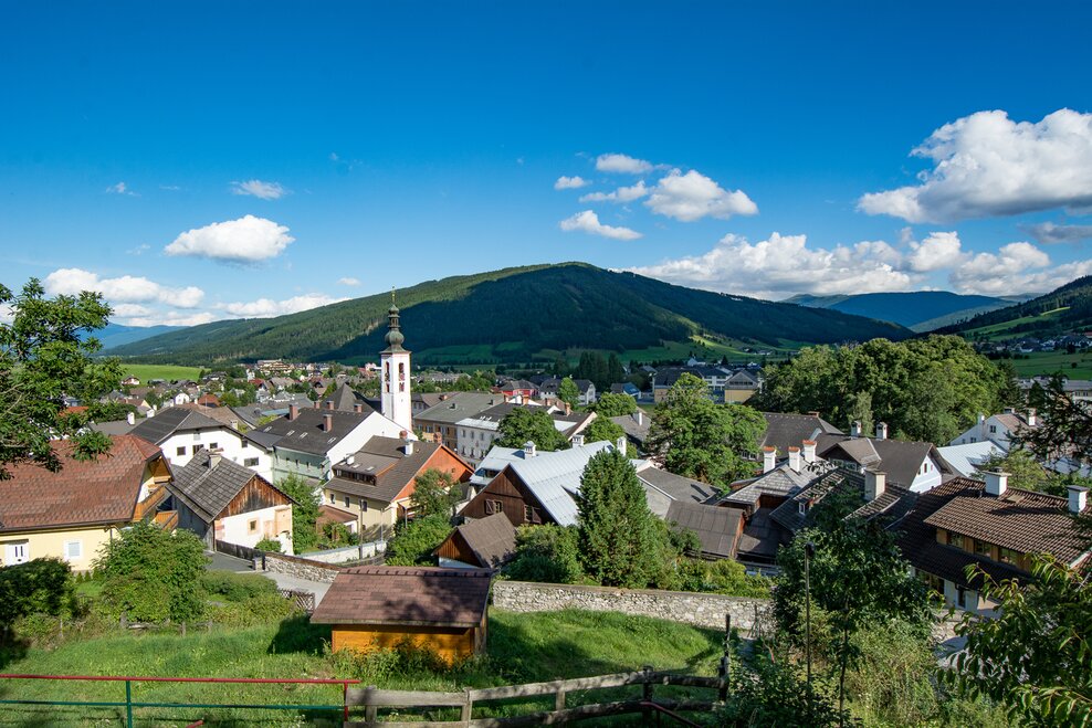
The "Obertauern TOUR" leads from the starting point in Gröbming down to the river Enns to Moosheim - Stein an der Enns - Großsölk - Sölkpass (1.788m) - Schröder- turn right onto the B 96 - Tratten - Seebach - keep right on the L521 Krakau - Krakauhintermühlen - Prebersee - Heiden - Tamsweg - again on the B 96 to Mauterndorf - turn right on the B 99 to Tweng - Obertauern - Radstätter Tauern down to Radstadt and back to the starting point Gröbming.
Start
Centre of Gröbming
Cel
Centre of Gröbming
Equipment
The provisions of the Austrian Road Traffic Regulations apply to the entire route.
Compliance with the road traffic regulations and all other statutory provisions shall have absolute priority at all times.
Wskazówki autorów
- Prebersee
Dalsze informacje i linki
www.ennstal-classic-roadbook.at
Prognoza pogody
Wybierz datę
Rather sunny weather during the day with clouds mainly in the morning and towards the evening
Sunny and cloudy periods will alternate throughout the day.
Mostly cloudy with sunny spells, rainshowers mainly in the afternoon and evening.
