Rittisberg Walking Tour
Tour description
The tour
Map, elevation profile & further information
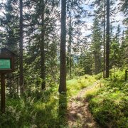
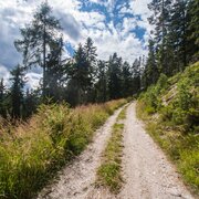
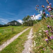
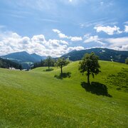
From the Sonnenalm you now follow the signage towards "Rittisberg Gipfelkreuz" - the summit of Rittisberg. At first you continue via a forest road and then you can choose between a beautiful forest trail or the forest road (suitable for prams) as you ascend through the mountain forest to the summit. Again and again you are rewarded with panoramic views to the Schladminger Tauern mountains and Reiteralm. At the mighty cross on the summit of Rittisberg you then enjoy the stunning view to the South face of the Dachstein.
From here you continue East - on a quite flat trail - to the Rittisstadl inn, where kids will have a lot of fun at the huge playground "I love Rittisberg" just next to the inn. From there you follow the fairy tale trail Rittisberg downhill and after about 25 minutes turn off right on the Rittisberg Walking Tour. The forest trail now leads back to Rittisbergrunde (trail n° 5), where you make a left and after just a few minutes reach Halseralm again. From there continue to your starting point.
- Bus schedule at www.rvb.at
GPS data and orienteering
Available GPS data - just like hiking maps - is only a guidance for orientation and can never depict a trail exactly with all its details. Especially at dangerous spots it is essential to judge on site how to proceed.
In an emergency please call:
- 140 - for Alpine emergencies (all over Austria)
- 112 - European GSM emergency number
Information about bus schedules: www.rvb.at
- Hiking map ‘Hiking WEST’ available at the information offices in the region.
- Schladming hiking map, 1:25,000, available at the Schladming information office.
- Hiking map Schladming-Dachstein, 1:50,000, available at the information offices in the region.
- Hiking guide Schladming-Dachstein by Herbert Raffalt, available at the information offices in the region.


