Grimming-Donnersbachtal
Aicherlstone
Family hiking trails
Data:

copyright: Christoph Lukas

copyright: Christoph Lukas

copyright: Christoph Lukas

copyright: Christoph Lukas

copyright: Christoph Lukas

copyright: Christoph Lukas

copyright: Christoph Lukas

copyright: Christoph Lukas

copyright: Christoph Lukas

copyright: Christoph Lukas

copyright: Christoph Lukas

copyright: Christoph Lukas

copyright: Christoph Lukas

copyright: Christoph Lukas
Tour description
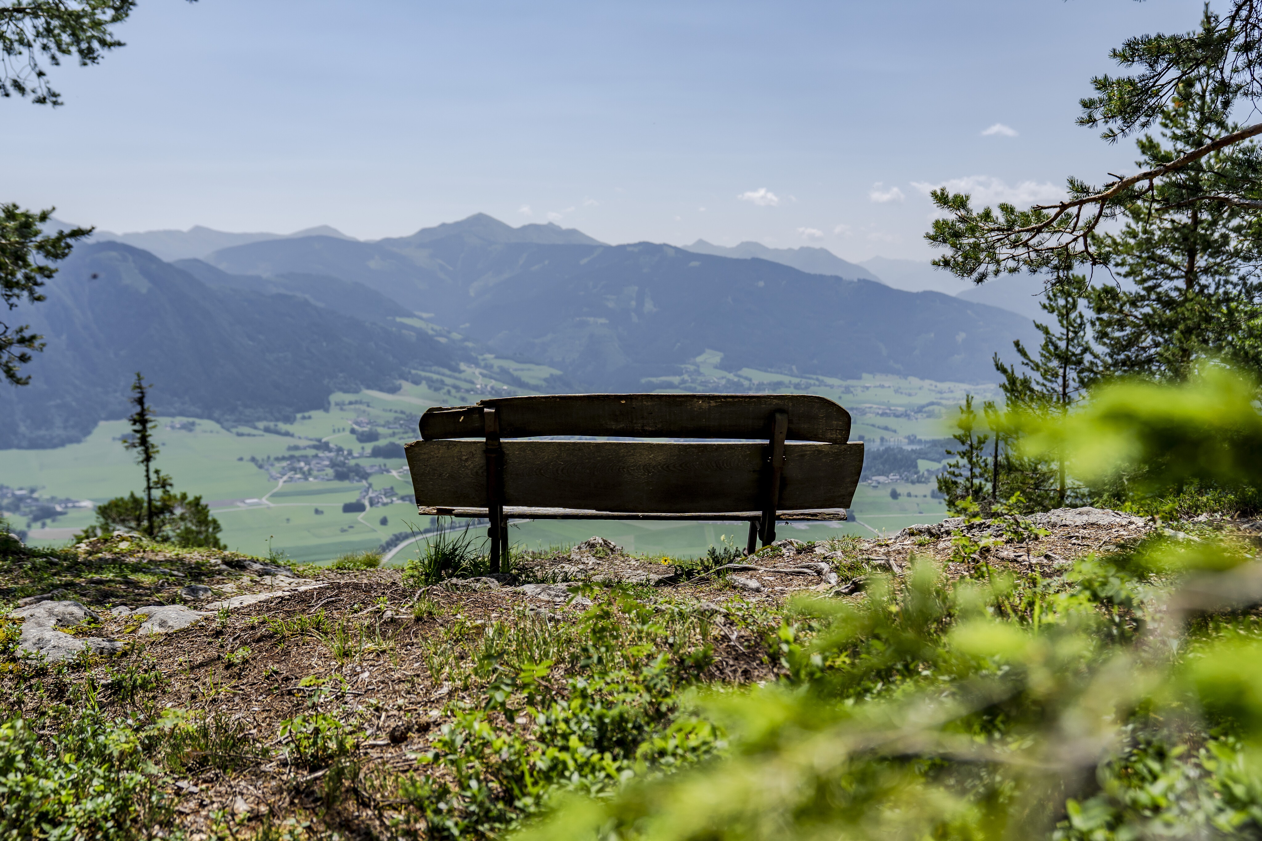
The SUNNYSITE. On the sunny side of the Enns Valley, you'll gain a lot of altitude here in Wörschach. Whether up to the Aicherlkaralm or further to the Aicherlstein - the view is TOP and compensates you for every bead of sweat.
The tour
moderate
publicly accessible
Starting and end point
At the war memorial in the town center
Tour characteristics
Distance: 6.7 km
Fitness (3/6)
Information
Distance: 6.7 km
Duration:
3:30 h
Ascent: 530 m
Descent: 530 m
highest point: 1180 m
Best season
Jan
Feb
Mar
Apr
May
Jun
Jul
Aug
Sep
Oct
Nov
Dec
Map, elevation profile & further information
You start at the war memorial in the center of town next to the Poschenhof inn and follow the signs. The trail leads steadily uphill, partly on forest and woodland paths. Once you have reached the Aicherlkar, take a short break before continuing up to the Aicherlstein. The detour is worth it. Resting place and view are TOP and compensate you for every bead of sweat.
From Schladming or Liezen coming to the local center Wörschach.Free Parking at the Municipal Office
With the bus 940 to the stop ,,Wörschach Ort''. Near this bus-stop ist the start-point.
Trainstation in the town, where stop only regionaltrains.
- Plan your tour in advance, taking into account walking time, route length, altitude difference, danger spots and weather forecast.Together is much more beautiful and at the same time safer in the mountains.
- Do not go alone, if possible, and adapt the tour to the ability of your group.
- Let them know where you are going and when you want to be back. Also sign hut or summit books.
- Turn back in good time if the weather deteriorates. If you get caught in a thunderstorm, do not stay on the summit or ridge and stay away from individual trees. Wait out the storm, if possible in a crouching position.
- Stay on the marked trails and remember to close pasture fences again.
- Getting up the trail is only half the battle. Stay alert, especially on the descents, to make it back to the valley safely.In case of emergency, keep calm and call the mountain rescue on 140. If you have no reception, take out the sim card and dial 112.
- If you encounter cows: It is best to pass above the herd with at least 50 meters distance. Stay calm, don't make any frantic movements and don't run away. Do not imitate cow sounds and do not try to pet the animals. A stick and loud shouting can often make the animals turn back in an emergency.
- If you are a dog owner: Clarify before the hike if you have to cross a pasture. Keep your dog on a leash and make sure he stays calm. If a cow attacks, let the dog off the leash immediately. Never pick him up to defend him.
- You can get detailed information on "Safe Mountain Hiking" from the Alpine Club. At www.alpenverein.at you can inform yourself comprehensively about it.
Tourist information: www.schladming-dachstein.at
Schladming-Dachstein Tourist Office
Ramsauerstraße 756
8970 Schladming
T: +43 3687 23310
info@schladming-dachstein.at
- SCHLADMING-DACHSTEIN Hiking EAST. Available free of charge from tourist offices and accommodation providers.
- SCHLADMING-DACHSTEIN Hiking Map 1:50,000
- KOMPASS Hiking Map 68, Ausseerland-Ennstal 1:50,000, hiking, cycling, ski touring


