Grimming-Donnersbachtal
Wörschacherway and Enns-Moos-Way
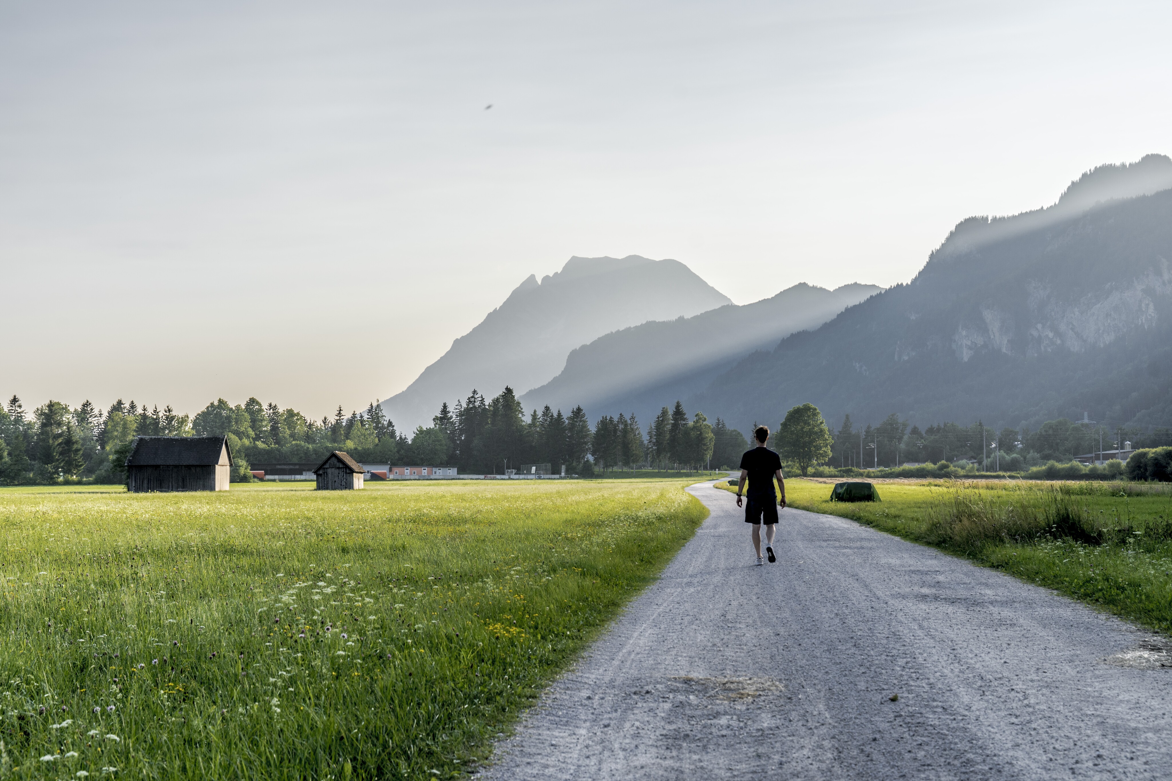
Walking Path
Data:

copyright: Christoph Lukas

copyright: Christoph Lukas

copyright: Christoph Lukas

copyright: Christoph Lukas

copyright: Christoph Lukas

copyright: Christoph Lukas

copyright: Christoph Lukas

copyright: Christoph Lukas

copyright: Christoph Lukas

copyright: Christoph Lukas

copyright: Christoph Lukas

copyright: Christoph Lukas
Tour description
A circular route through the European protected area Wörschacher Moos, which with 175 ha is the largest in the Styrian Enns Valley.
The tour
easy
publicly accessible
Starting and end point
Church Wörschach
Tour characteristics
Distance: 4.6 km
Information
Distance: 4.6 km
Duration:
1:30 h
Ascent: 15 m
Descent: 15 m
highest point: 651 m
Best season
Jan
Feb
Mar
Apr
May
Jun
Jul
Aug
Sep
Oct
Nov
Dec
Map, elevation profile & further information
This relaxed walk leads you to the right of the parish church to the underpass and the sports center and further to the Enns. From there you can choose a smaller loop on the left or the larger loop on the right to get back to the starting point.
Way number: 3
Coming from Schladming or Liezen, turn off the B320 in Wörschach and drive into the village center.Free-Parking at the community.
With the bus 940 to the bus stop ,,Wörschach Ort''. Near there is the start point.
www.verbundlinie.at
www.verbundlinie.at
In the town is a train station, where stop only regional-trains.
http://www.oebb.at/
- Turn back in good time if the weather deteriorates. If you get caught in a thunderstorm, stay away from individual trees. Wait out the storm, if possible in a crouching position.
- Stay on marked trails and remember to close pasture fences.In case of emergency, keep calm and call the mountain rescue on 140. If you have no reception, take out the sim card and dial 112.
- If you encounter cows: It is best to pass above the herd with at least 50 meters distance. Stay calm, don't make any frantic movements and don't run away. Do not imitate cow sounds and do not try to pet the animals. A stick and loud shouting can often make the animals turn back in an emergency.
- If you are a dog owner: Clarify before the hike if you have to cross a pasture. Keep your dog on a leash and make sure he stays calm. If a cow attacks, let the dog off the leash immediately. Never pick him up to defend him.
Ennstal mysticism to breathe and let it work.Tourism information: www.schladming-dachstein.at
Schladming-Dachstein Tourist Office
Ramsauerstraße 756
8970 Schladming
T: +43 3687 23310
info@schladming-dachstein.at
- SCHLADMING-DACHSTEIN Hiking EAST. Available free of charge from tourist offices and accommodation providers.
- SCHLADMING-DACHSTEIN Hiking Map 1:50,000


