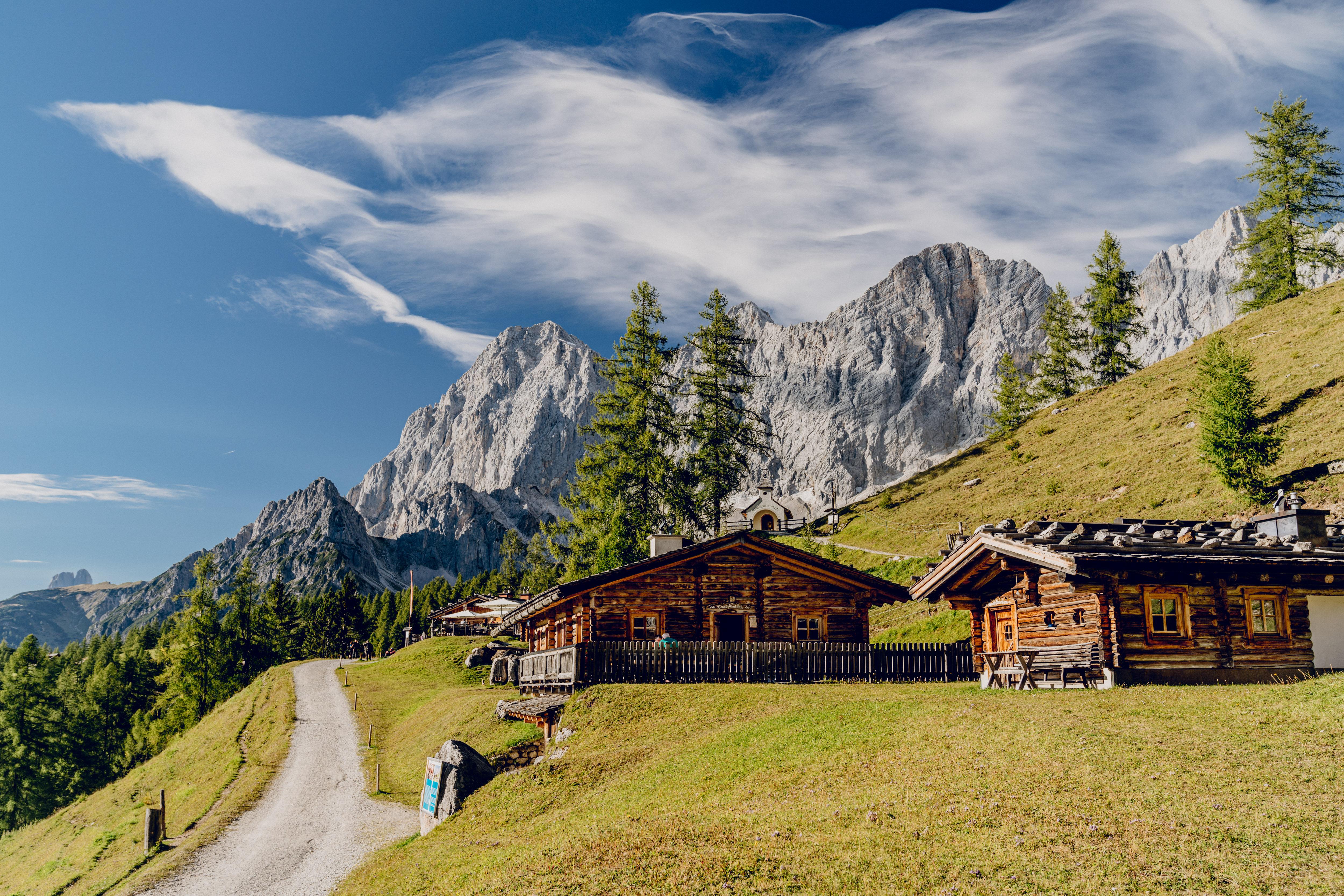
Haus-Aich
Bike & Hike Brandalm - Gamsfeldgassl
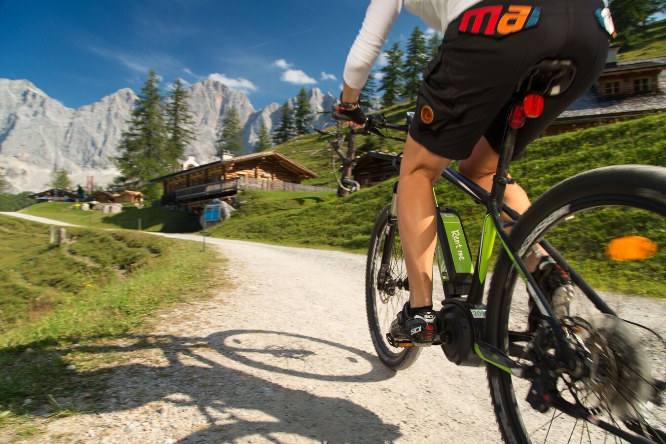
Mountainbike tour
Data:

Tour description
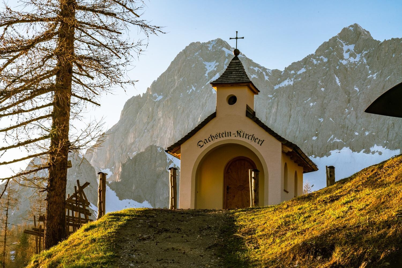
This Bike & Hike tour in Ramsau combines a scenic ascent to the Brandalm with an alpine hike at the foot of the Dachstein south face. Via the Austriahütte and Brandriedel, the hike leads to the Gamsfeldgassl with impressive panoramic views over the Ramsau plateau.
After returning to the Brandalm, the tour continues with a varied bike descent via the Dachstein toll road as well as Schildlehen and Vorberg back to the starting point.
The route mostly follows the signposted Ramsau Loop (307), although some sections deviate from it.
Bike total: 2:45h, 25.4km, 758hm
Hike total: 2:50h, 4.6km, 413hm
The tour
moderate
Starting and end point
Car Park Planet Planai
Tour characteristics
Fitness (3/6)
Skills (3/6)
Information
Distance: 30 km
Duration:
5 h 35 min
Ascent: 1171 m
Descent: 1179 m
highest point: 1979 m
Best season
Jan
Feb
Mar
Apr
May
Jun
Jul
Aug
Sep
Oct
Nov
Dec
Map, elevation profile & further information
From Salzburg: Take the A10 to Altenmarkt, then follow the B320 towards Liezen. Exit at Ramsau am Dachstein and turn left onto Ramsauerstraße. After 8 km, you will reach the Tourist Office.
From Graz: Take the A9 to Liezen, then follow the B320 towards Schladming. Exit at Ramsau am Dachstein and turn right onto Ramsauerstraße. After 8 km, you will arrive at the Tourist Office.
Take the train from Radstadt or St. Michael to Schladming. At Schladming train station, transfer to bus line 960 heading towards Ramsau Ort. Get off at the "Ramsau Kulm" stop. The Ramsau am Dachstein Tourist Office is just a one-minute walk from there.
Stay Safe on Your Bike & Hike
Weather conditions in the mountains can change quickly. Thunderstorms, wind, fog and sudden temperature drops are serious hazards. Plan your tour realistically and don’t overestimate your abilities.
In case of thunderstorms: Avoid summits, ridgelines and isolated trees.
Emergency numbers:
140 – Mountain Rescue
112 – European emergency number
Recommended equipment:
Helmet, suitable bike and hiking clothing, sturdy shoes, sufficient water.
Always lock your bike.
There are E-bike charging stations along the route (see map/elevation profile) – bring your charger.
For via ferrata routes: Via ferrata set, helmet, appropriate footwear.
- Plan breaks: Along the route, many mountain huts and inns invite you to stop for a relaxing break and enjoy regional specialties.
- E-mountain bike: With electric support, the tour is also suitable for less experienced bikers. There are several e-bike charging stations along the route. You can see their locations in the map and the elevation profile, which helps you plan your tour and possible charging stops.


