Haus-Aich

Birnberg circular walking path
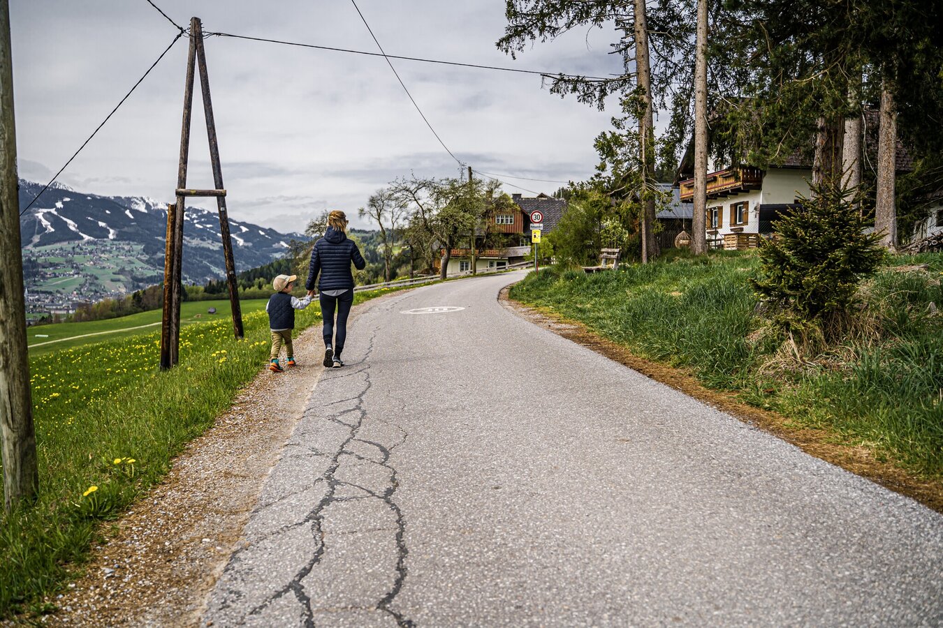
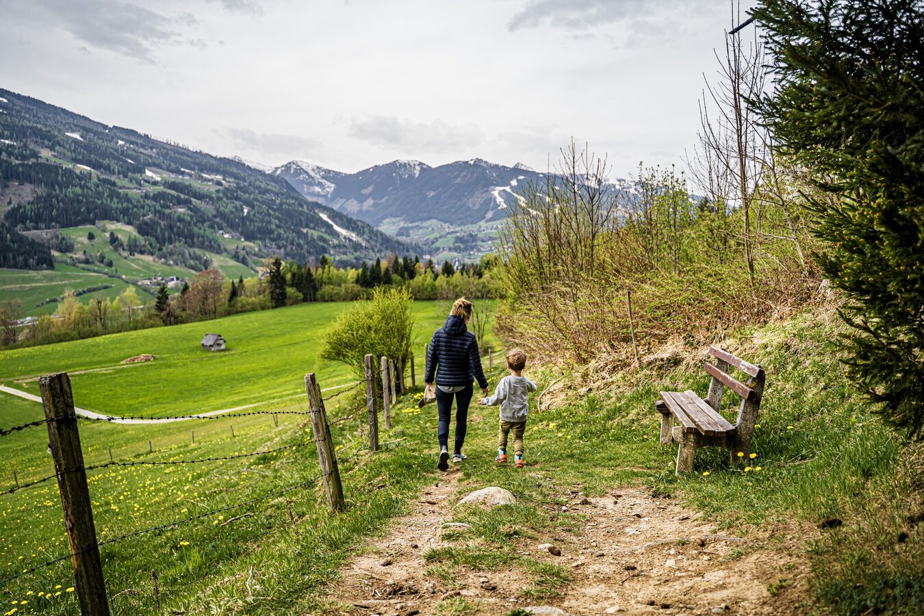
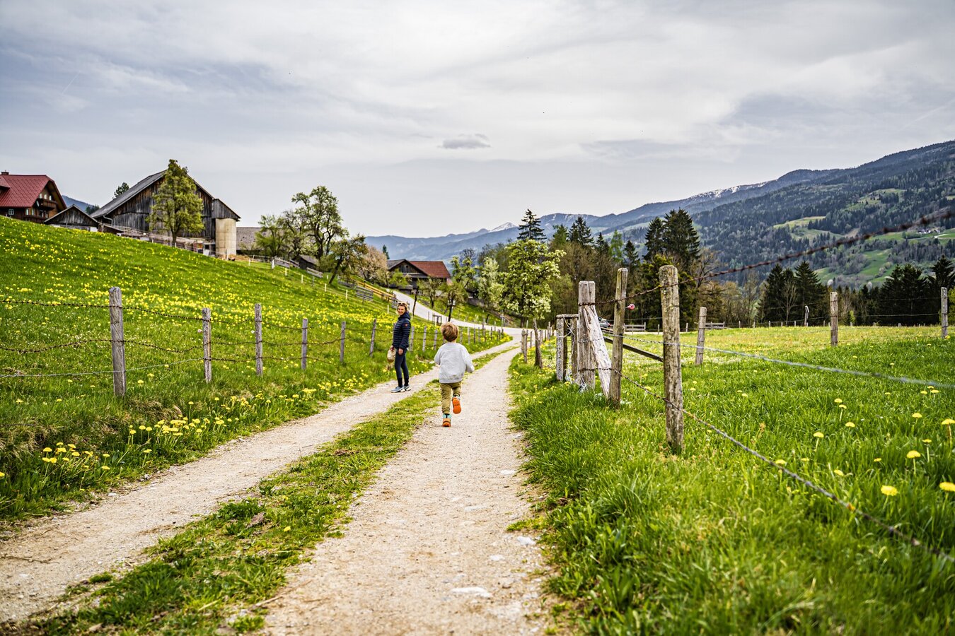
Hike on the Birnberg-Rundweg
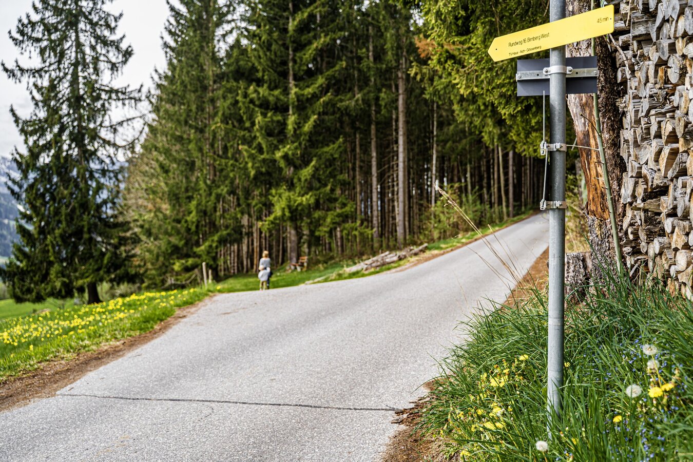
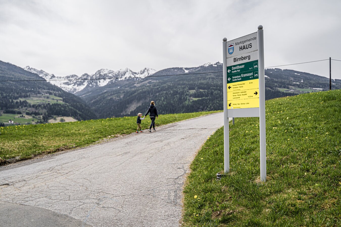
Signpost on the Birnberg-Rundweg
Hike on the Birnberg-Rundweg
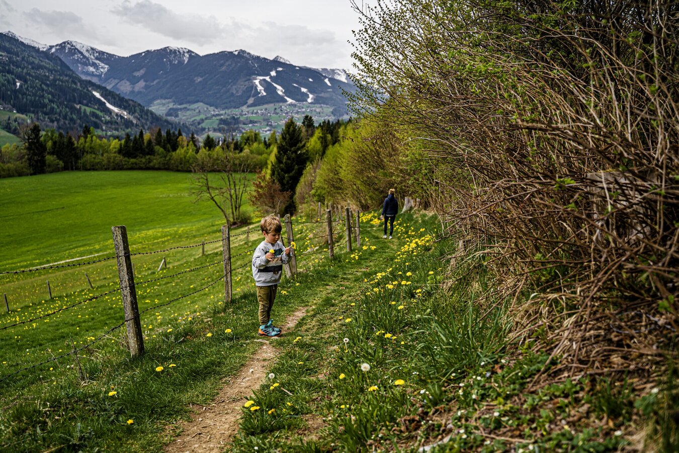
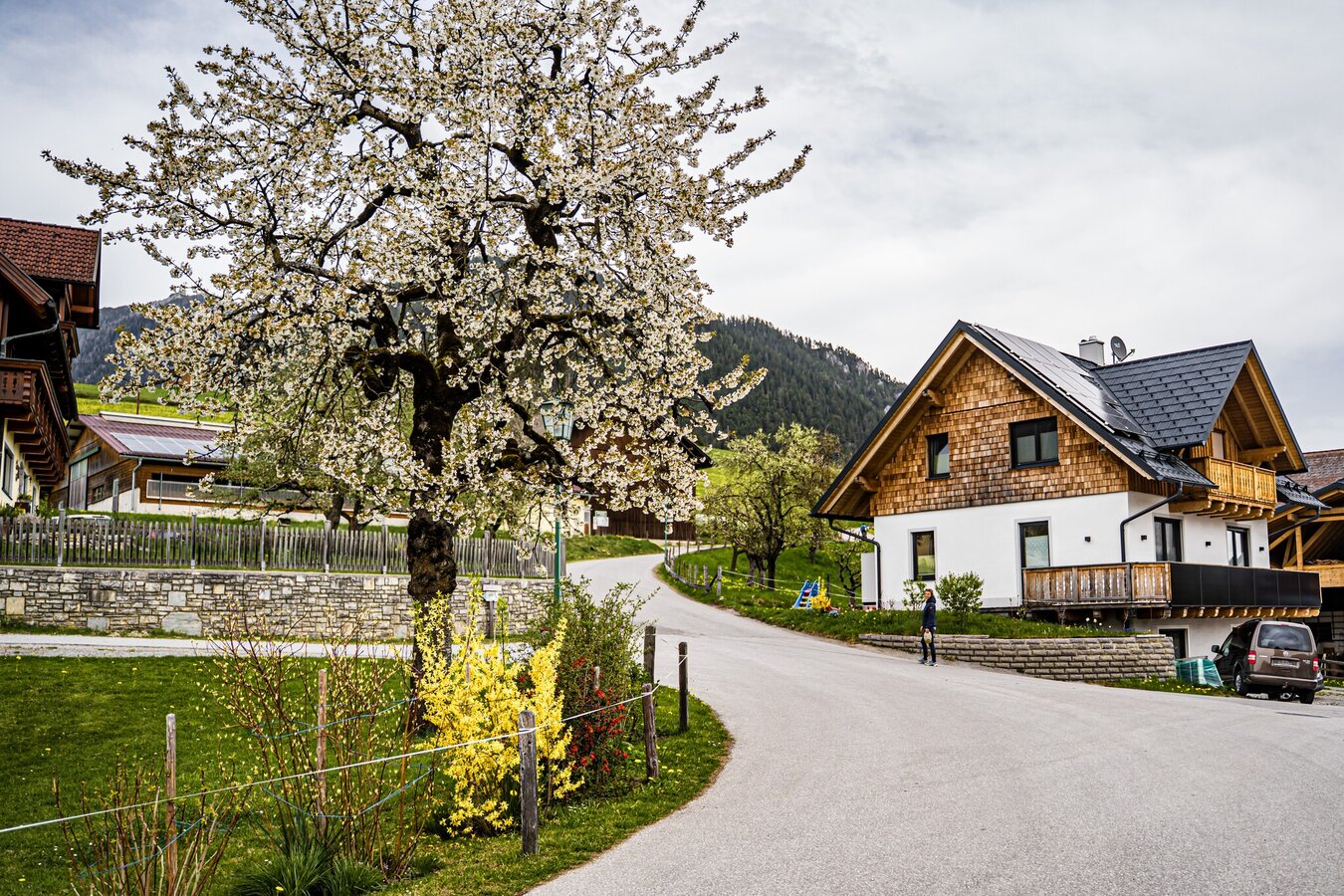
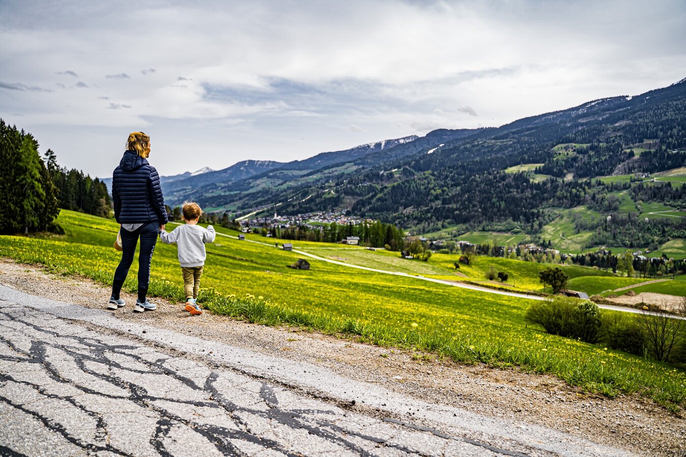
Hiking trail on the Birnberg
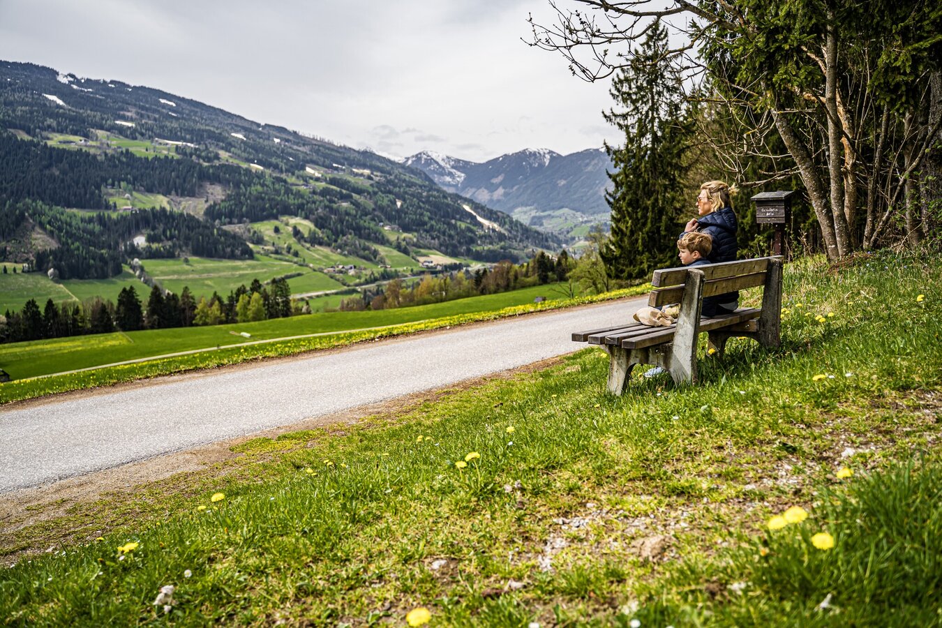
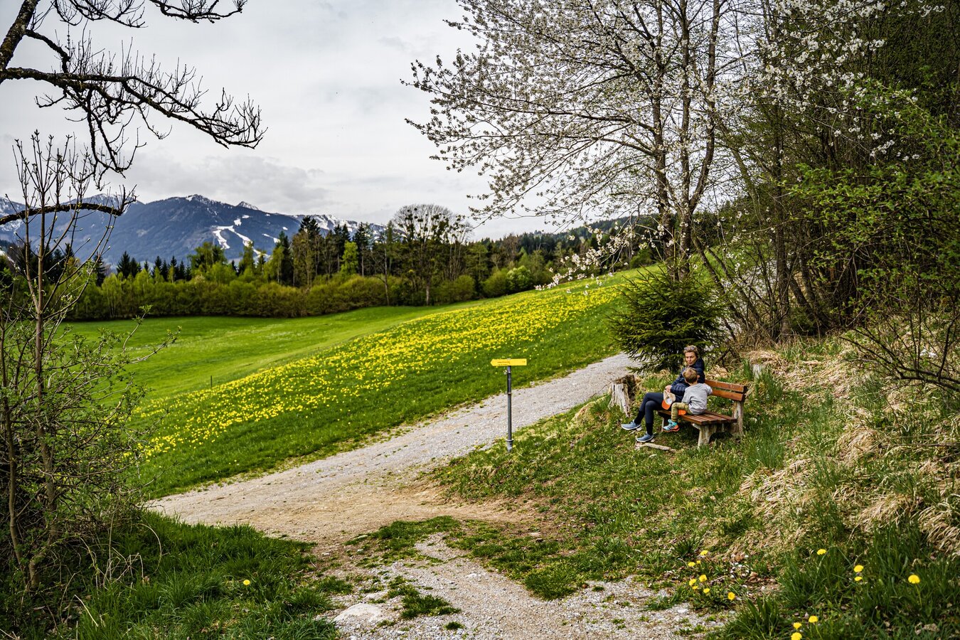
Rest area on the Birnberg-Rundweg
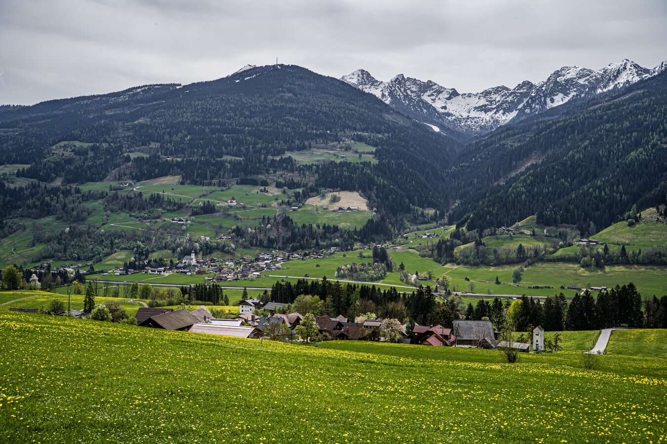
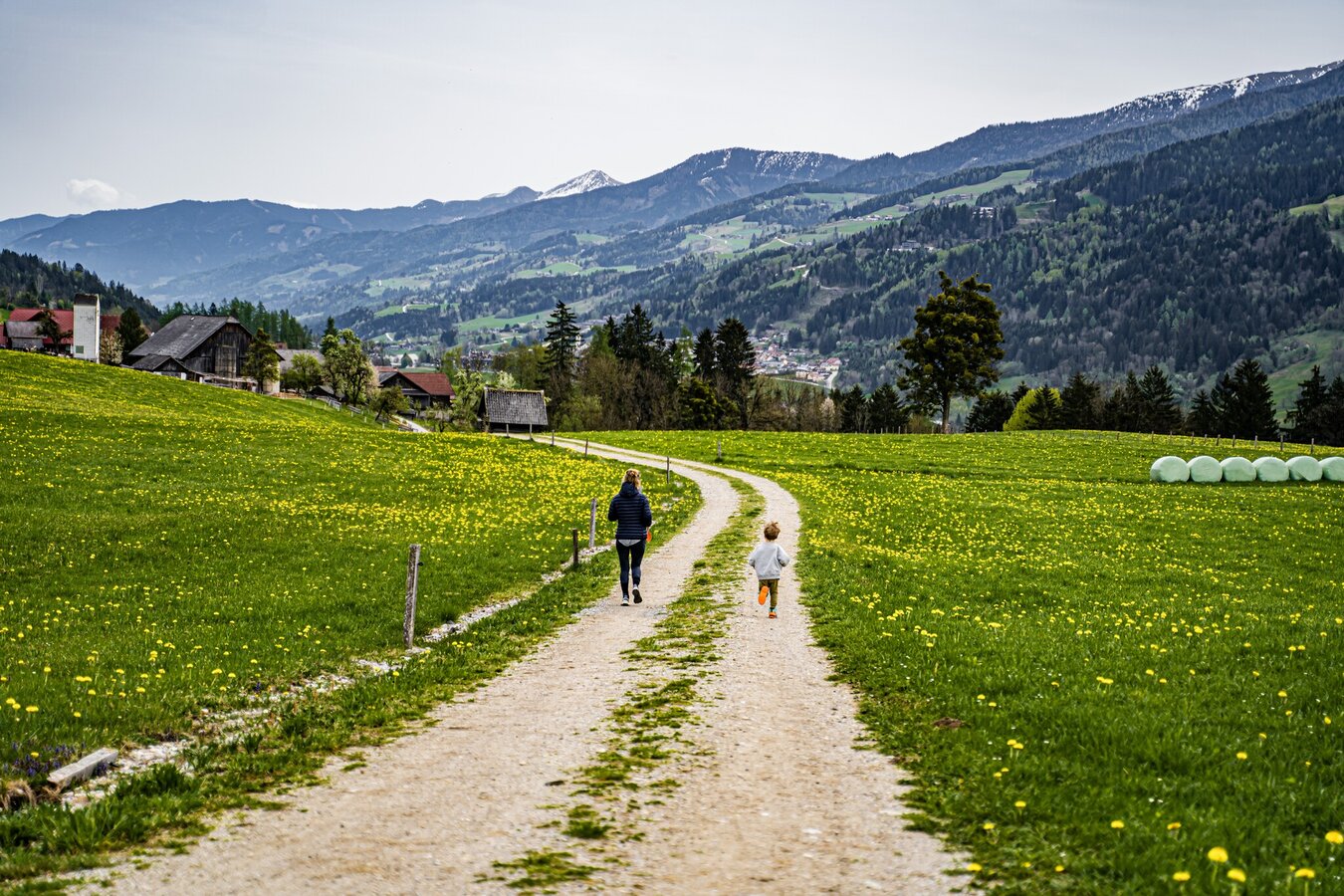
View of Birnberg
Signpost on the Birnberg-Rundweg
Hike on the Birnberg-Rundweg
Hiking trail on the Birnberg
Rest area on the Birnberg-Rundweg
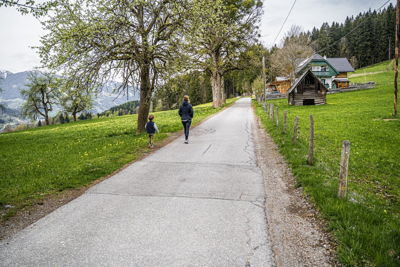
Hiking on the Birnberg-Rundweg
Hike on the Birnberg-Rundweg
Hiking trail on the Birnberg
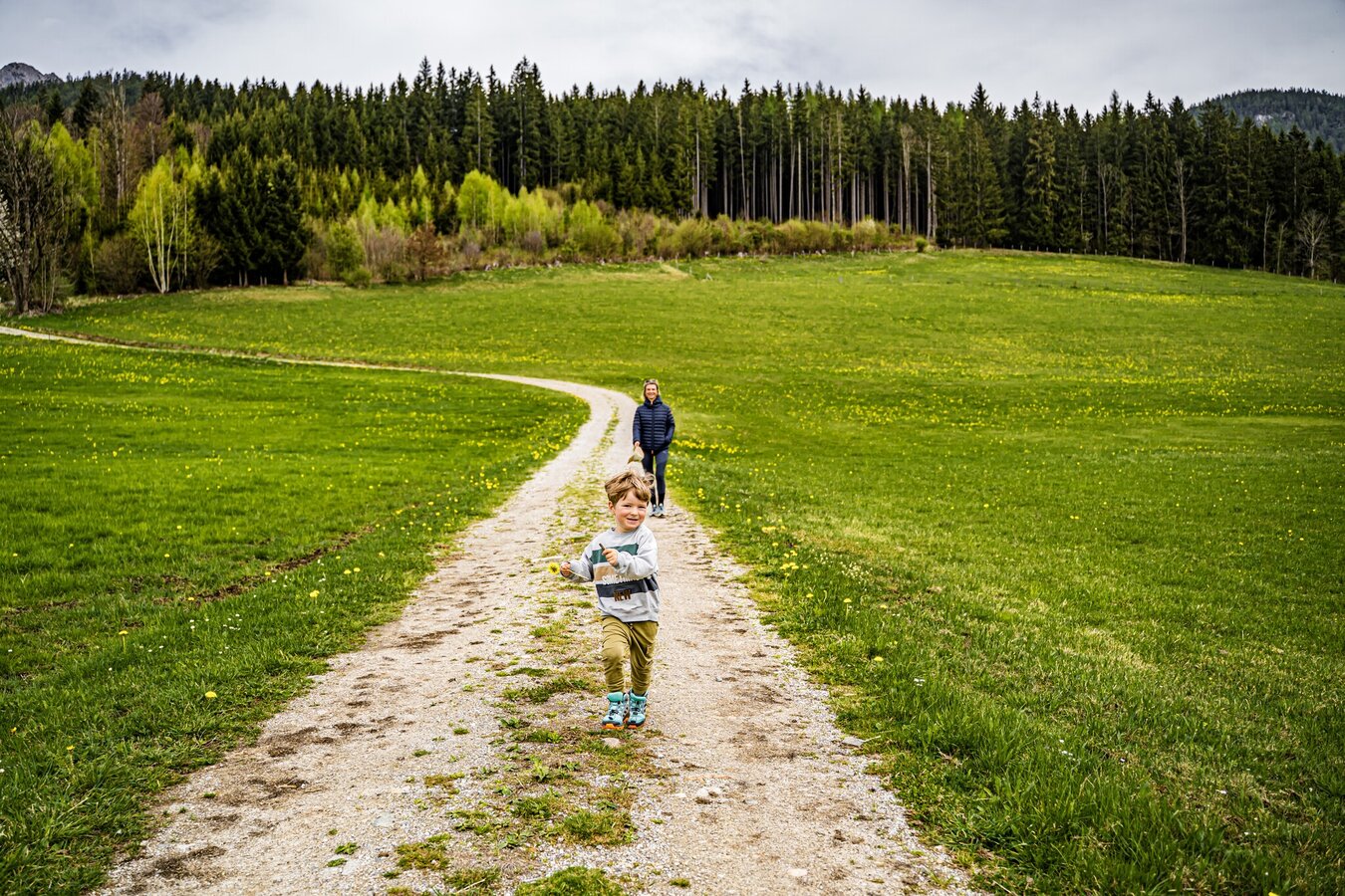
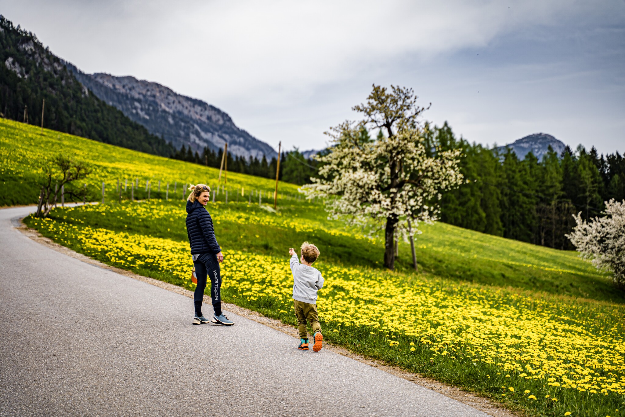
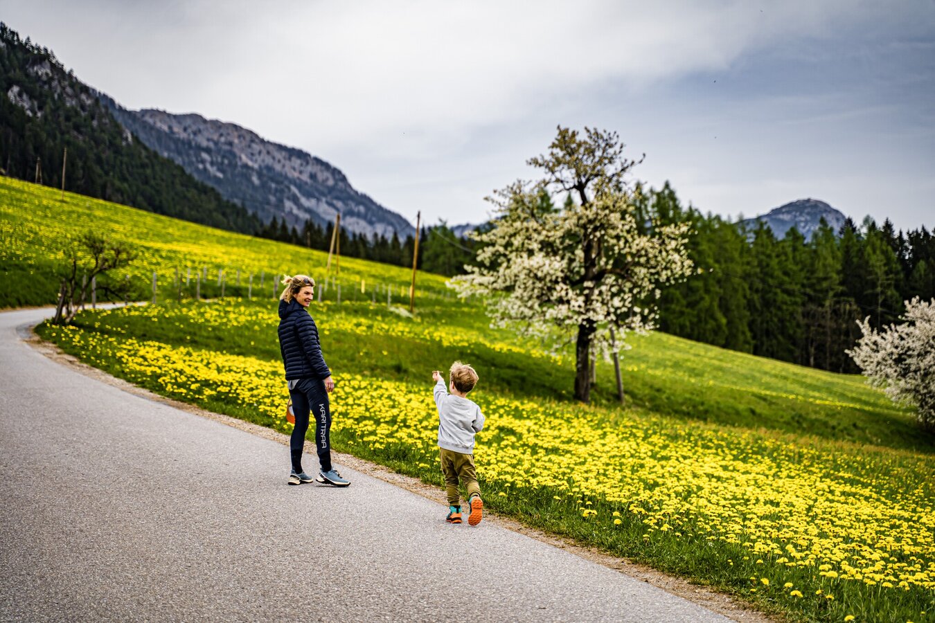
Birnberg circular trail in spring
Hike on the Birnberg-Rundweg

Tour description

Easy circular walking trail on the sunny plateau Birnberg past beautiful farms. Here you really notice that the farmers still care about forest, meadows and animals.

The tour

easy
Starting and end point Birnberg
Tour characteristics
Distance: 2.4 km
Information
Distance: 2.4 km
Duration: 45 min
Ascent: 70 m
Descent: 70 m
highest point: 886 m
Best season
Jan
Feb
Mar
Apr
May
Jun
Jul
Aug
Sep
Oct
Nov
Dec

Map, elevation profile & further information

You start the circular route no. 16 from Oberes Dörfl am Birnberg. There you follow the signpost at the crossroads to the west to the Davidbauerhof and further to the edge of the forest. Here you take the small path southwest (left) down to the Untere Dörfl ("Birnberg center"). From there you walk along the Birnberg-Leitenweg (road) in a northeasterly direction back to the Oberes Dörfl crossroads.

You can extend the loop by hiking from the Unteres Dörfl eastwards to the vlg. Pircher farm. Then take the upper path back to the Oberer Dörfl. On this section you pass by the Sternenplatz Birnberg shortly before arrving back in the Oberes Dörfl.

Coming from the Ennstalbundesstraße (B320), turn off at Haus im Ennstal/Oberhaus and follow the signs to Birnberg.Coming from the Ennstalbundesstraße (B320), turn off at Haus im Ennstal/Oberhaus and follow the signs to Birnberg.
Arrival by public transport is not possible.
Sturdy shoes
If you have a little more time and feel like it, you can extend the circular route: through the Lower Village to the crossroads at the Pircher farm - from here take the upper path back towards the Upper Village. This option takes about an additional 45 minutes.Here you will find all hiking maps and important brochures to download.

Wheather predicition

today
20.09.2026
Mountain 15 °C
Valley 23 °C
Snow
Mountain
0 cm
Valley
0 cm
Wind speed
Nordwest
10 km / h
Precipitation
Probability
60 %
Amount
1.3 l/m²
Sun
Sun hours
7.4 h
Sunrise
06:49 o clock
Sunset
19:07 o clock

Dry and partly sunny throughout the day, with cloudy periods from time to time.

tomorrow
21.09.2026
Mountain 8 °C
Valley 18 °C
Snow
Mountain
0.2 cm
Valley
0 cm
Wind speed
Nordwest
20 km / h
Precipitation
Probability
60 %
Amount
0.6 l/m²
Sun
Sun hours
5 h
Sunrise
06:50 o clock
Sunset
19:05 o clock

Partly sunny during the day after light rain at daybreak.

day after tomorrow
22.09.2026
Mountain 4 °C
Valley 16 °C
Snow
Mountain
0.2 cm
Valley
0 cm
Wind speed
Nordwest
20 km / h
Precipitation
Probability
55 %
Amount
0.3 l/m²
Sun
Sun hours
2 h
Sunrise
06:51 o clock
Sunset
19:03 o clock

The day will start cloudy or foggy, but the clouds will gradually give way to sunshine during the day.

Tours nearby