Fageralm Tour | SW 15
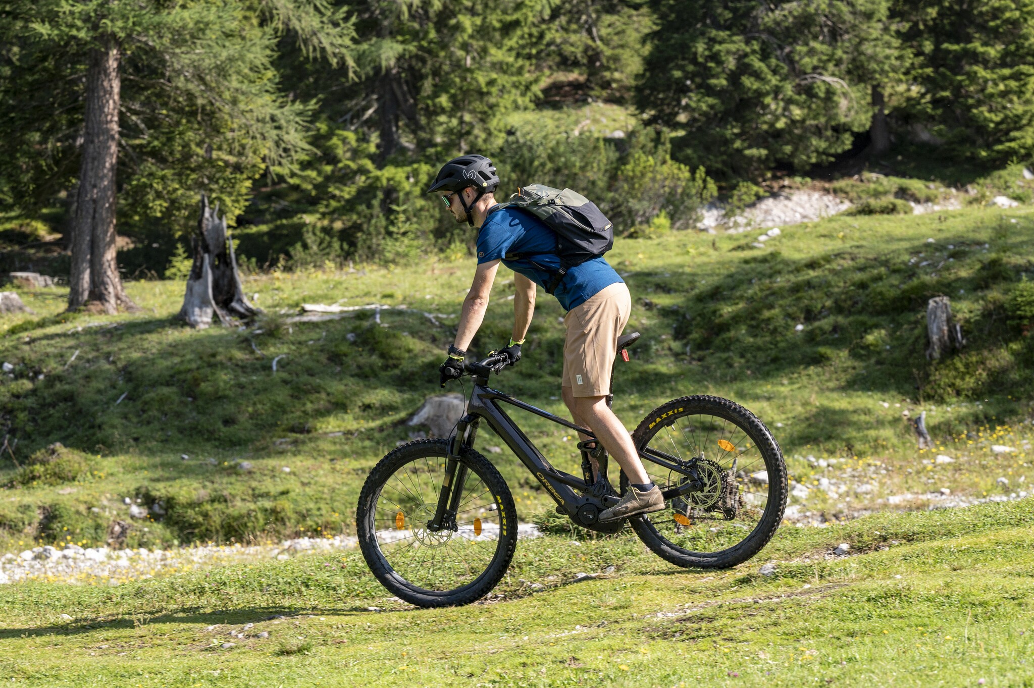
Mountainbike tour
Data:

copyright: Lorenz Masser

copyright: Lorenz Masser
Tour description
This challenging tour starts in Radstadt and leads via Forstau up into the Fageralm hiking area. The steady climb requires good fitness, but rewards you with fantastic views of the Dachstein and the Salzburg Limestone Alps.
Along the way, the Innviertler Berggasthof and the Lechneralm invite you to stop for a break. At the top, the Trinkeralm awaits with impressive panoramic views and homemade curd cheese strudel as a highlight.
The tour originally comes from our colleagues in SalzburgerLand – further information can be found at the following link: Fageralm Tour (SW 15).
The tour
moderate
Starting and end point
Radstadt town square
Tour characteristics
Distance: 26.1 km
Fitness (4/6)
Skills (4/6)
Information
Distance: 26.1 km
Duration:
3:40 h
Ascent: 952 m
Descent: 960 m
highest point: 1751 m
Best season
Jan
Feb
Mar
Apr
May
Jun
Jul
Aug
Sep
Oct
Nov
Dec
Map, elevation profile & further information
Start at the town square in Radstadt and head straight towards Judenbühel. Then turn right over the railway tracks and at km 1.7 turn right onto the main road.
At the roundabout, turn left towards Forstau and follow the road steadily uphill – passing the Seitenalm. At km 5.3, turn right towards Trinkeralm.
At the farm driveways, keep left, then at the next two junctions take the right. At km 6.7, turn left at a hairpin bend, and again left at km 7.6.
Continue uphill through several bends to around 1,500 m. At km 11.2, keep right at a bend with a junction. Then ride under the lift, pass under it again after the next bend, and continue the final approx. 500 meters with a slight incline to the Trinkeralm.
The return follows the same route back to Radstadt.
From Salzburg: Travel by car via the A10 Tauern motorway towards Graz/Villach to the exit Altenmarkt. Then continue on the B320 towards Schladming. Take the exit at Radstadt and follow the signs to the town center.
From Graz: Travel by car via the A9 Pyhrn motorway towards Salzburg to the exit onto the B320 at Selzthal. Then continue on the Ennstal road (B320) towards Schladming. Take the exit at Radstadt and follow the signs to the town center.
Google Link
From Graz: Travel by car via the A9 Pyhrn motorway towards Salzburg to the exit onto the B320 at Selzthal. Then continue on the Ennstal road (B320) towards Schladming. Take the exit at Radstadt and follow the signs to the town center.
Google Link
From Salzburg, travel by train via Bischofshofen to Radstadt. From Radstadt train station, it is only a few minutes on foot to the town center.
From Graz, travel by train directly to Radstadt. From Radstadt train station, it is only a few minutes on foot to the town center.
ÖBB timetable information
From Graz, travel by train directly to Radstadt. From Radstadt train station, it is only a few minutes on foot to the town center.
ÖBB timetable information
Weather in the mountains can change quickly – thunderstorms, wind, fog or sudden drops in temperature are serious risks. Plan your tour realistically and don’t underestimate these dangers. Hut hosts are happy to give you up-to-date advice.
In case of thunderstorms: avoid summits, exposed ridges, trees and fixed cables.
Emergency numbers:
In case of thunderstorms: avoid summits, exposed ridges, trees and fixed cables.
Emergency numbers:
- 140 mountain rescue
- 112 European emergency number
For further information:
Radstadt Tourismus
Schernbergstraße 8
5550 Radstadt
Radstadt Tourismus
Schernbergstraße 8
5550 Radstadt
- +43 6452 7472
- info@radstadt.com
- Website


