Schladming
Karbach Walk
Walking Path
Data:
Tour description
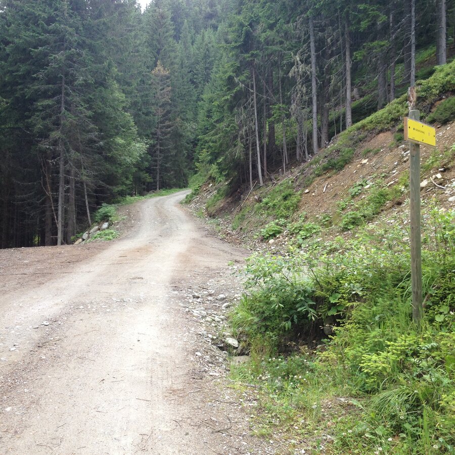
A short walk, suitable for prams, with starting point at the valley terminal of the Gipfelbahn Hochwurzen cable-car. Along forest roads you walk through the forest in the area above the valley terminal. Two times you also make your way across two mountain meadows (in the winter these are ski pistes), from where you have a nice view to Rohrmoos.
The tour
easy
Starting and end point
Hiking trail head, Hochwurzen valley terminal
Tour characteristics
Distance: 2.5 km
Information
Distance: 2.5 km
Duration:
45 min
Ascent: 95 m
Descent: 95 m
highest point: 1216 m
Best season
Jan
Feb
Mar
Apr
May
Jun
Jul
Aug
Sep
Oct
Nov
Dec
Map, elevation profile & further information
From the hiking trail head you pass by the sport shop "Schi Lenz" and take the forest road. You follow this dirt road for about 700 m to the turn-off of Karbach Walk. You continue on a forest road and then make your way across a meadow (which is a ski piste in winter). You continue on the same road, cross another "ski piste" and reach the trail junction with the fairy-tale trail. Here you make a right and head back to your starting point.
From Schladming take provincial highway L722 (Rohrmoosstraße road) to Rohrmoos and at the roundabout continue straight on until you reach the cable-car Gipfelbahn Hochwurzen.Parking is available at the valley terminal of the cable-car.
With the Planai buses from Schladming (Planet-Planai, Lendplatz) or Rohrmoos (Rohrmoos-Zentrum) to the valley terminal of Gipfelbahn Hochwurzn - cable-car - bus stop "Gipfelbahn Hochwurzen".
- Buses of Planai-Hochwurzen-Bahnen: www.planaibus.at
Changes in weather patterns, quick falls in temperature, thunderstorms, wind, fog and snow are some of the dangers that can be encountered on a hiking tour. Hosts of alpine huts and mountain refuges have a lot of experience in the mountains and can give good advice about weather and the trails. Poor equipment, overestimation of one's own capabilities, carelessness, poor personal constitution and/or wrong judgement can lead to critical situations. In case of thunderstorms: avoid summits, ridges and steel ropes.
GPS data and orienteering
Available GPS data - just like hiking maps - is only a guidance for orientation and can never depict a trail exactly with all its details. Especially at dangerous spots it is essential to judge on site how to proceed.
In an emergency please call:
- 140 - for Alpine emergencies (all over Austria)
- 112 - European GSM emergency number
The trail is also suitable for prams.
Information about bus schedules: www.planaibus.at
- Hiking map ‘Hiking WEST’ available at the information offices in the region.
- Schladming hiking map, 1:25,000, available at the Schladming information office.
- Hiking map Schladming-Dachstein, 1:50,000, available at the information offices in the region.
- Hiking guide Schladming-Dachstein by Herbert Raffalt, available at the information offices in the region.


