Ramsau am Dachstein
Maixkante
Climb
Data:
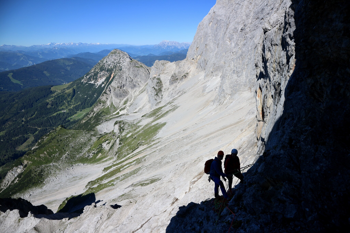
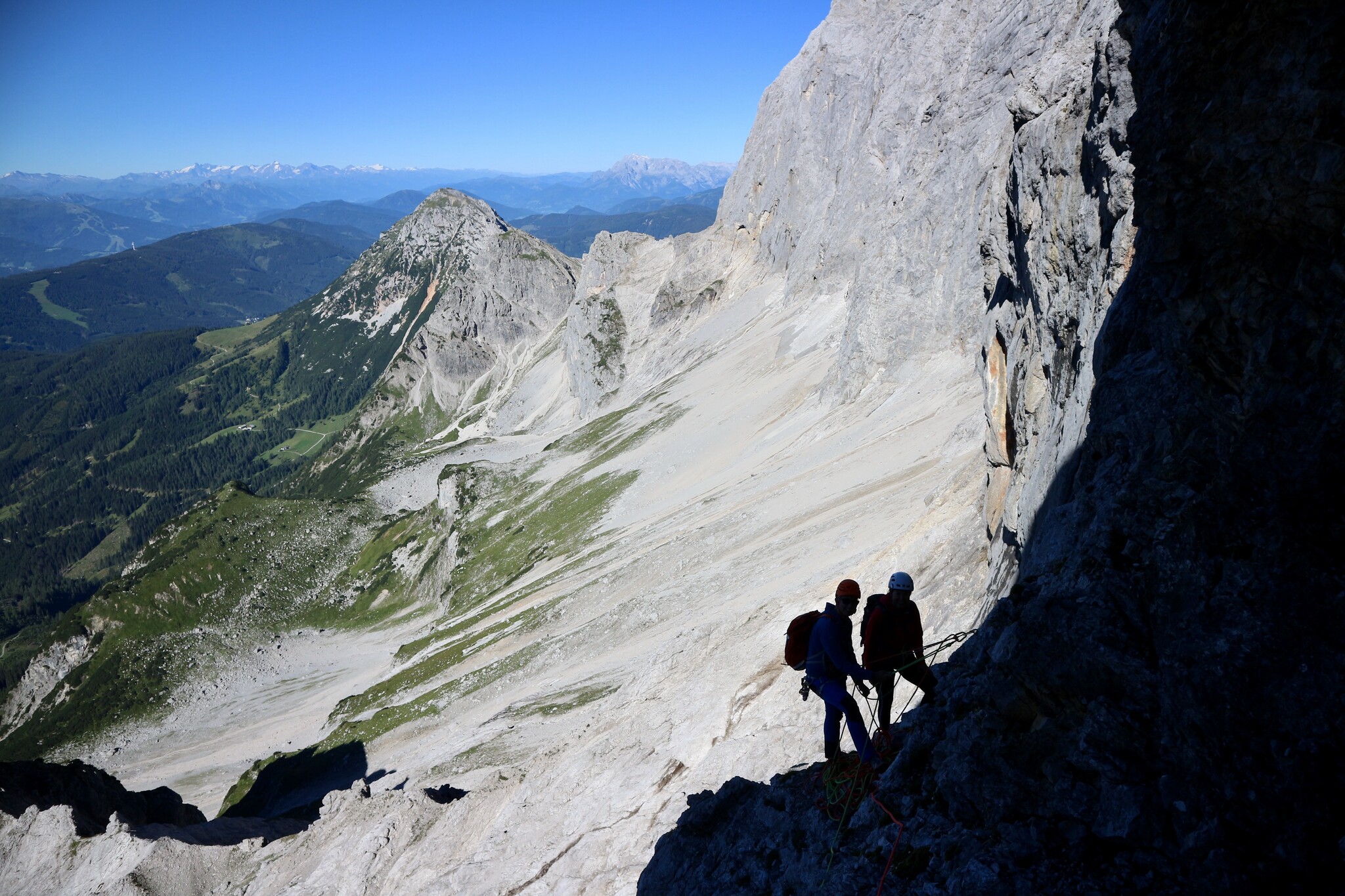
copyright: Heli Rettensteiner - Berg- und Abenteuerschule
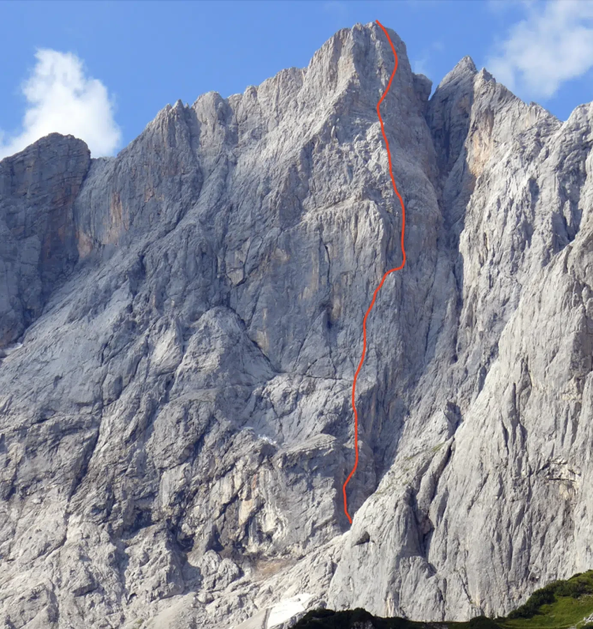
copyright: Bergführer Dachstein
Important Information
Tour description
A classic route on the Hoher Dirndl with logical lines. You will mainly find crack and chimney climbing here. The 2001 renovation made the route safer and added a new start and finish.
The tour
Number of rope lengths: 22
Tour characteristics
Exposition:
Multi-rope length difficulty levels: 4 to 5+, some areas 6
Cataloguer: K. Maix und W.Höfler; 1929
Distance: 900 m
Climbing time:
7 h
Information
Elevation at the starting point: 2155 m
Hiking time to the starting point:
1 h 30 min
Elevation at the entrance: 1871 m
Wall height: 670 m
Elevation at the exit: 2825 m
Walking time (descent):
1 h 30 min
highest point: 2832 m
Map, elevation profile & further information
Approach 1.5-2 hours from the Dachstein Glacier Cable Car valley station or shorter from the Südwandhütte hut