Ramsau am Dachstein
Steinerweg
Climb
Data:
copyright: Heli Rettensteiner - Berg- und Abenteuerschule
copyright: Heli Rettensteiner - Berg- und Abenteuerschule
copyright: Bergführer Dachstein
Important Information
Tour description
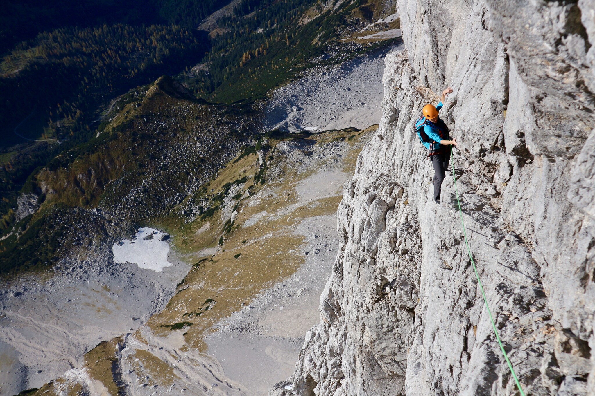
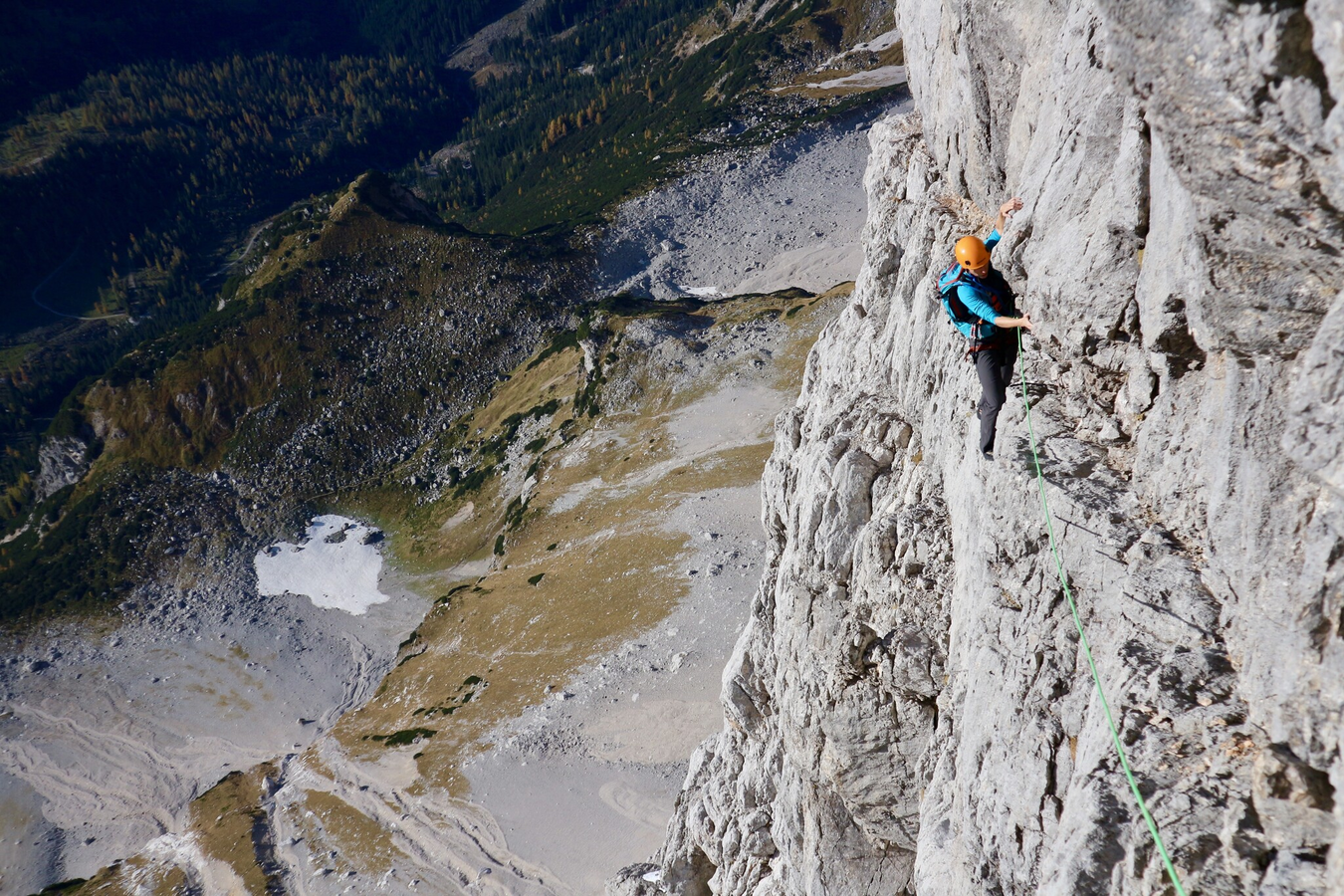
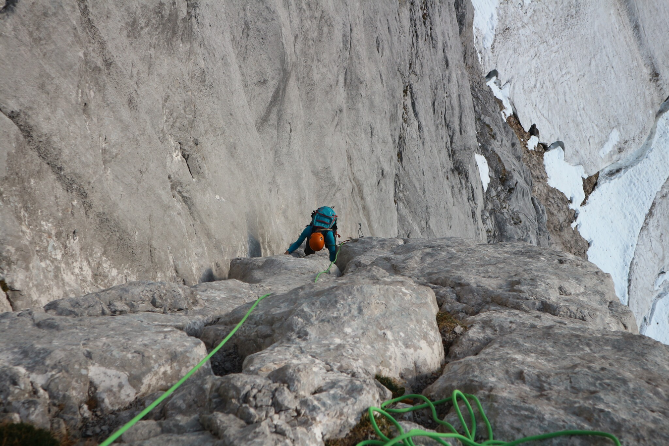
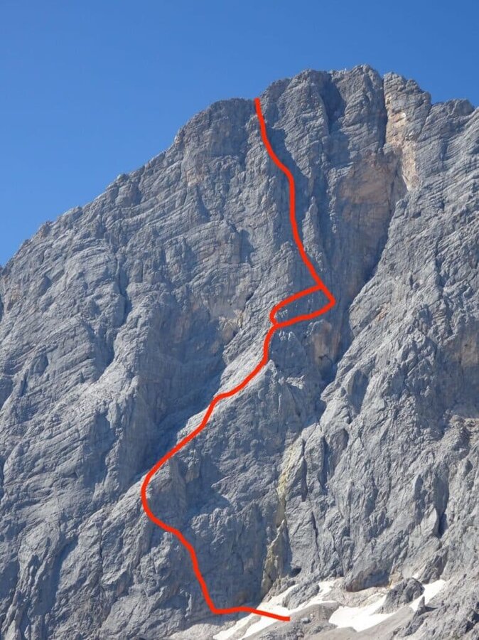
One of the great climbing classics in the Northern Limestone Alps. First climbed in 1909 by the two brothers “Irg” and Franz Steiner, who were the first to find a line directly through the imposing 850-meter-high south face.
The tour
Number of rope lengths: 29
Tour characteristics
Exposition:
Cataloguer: F.Steiner 1909
Distance: 1000 m
Climbing time:
8 h
Information
Elevation at the starting point: 2140 m
Hiking time to the starting point:
2 h
Elevation at the entrance: 1680 m
Wall height: 850 m
Elevation at the exit: 2980 m
Walking time (descent):
1 h
highest point: 2995 m
Map, elevation profile & further information
From the Dachstein Glacier Cable Car Valley Station parking lot to the Sürwandhütte. Then turn left downhill and follow the Johannklettersteig trail markers. Pass the Johannklettersteig and continue to the start of the climb.
From Hoher Dachstien via Randkluft or Schulterklettersteig to the Dachstein Glacier Railway mountain station.
50m single rope, 8 quickdraws, slings, nuts