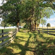
On the tracks of miner's from the village Untertal to Obertal valley
Tour description
Trail characteristics:
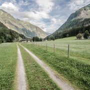
gravel paths, some paved
Restaurants:
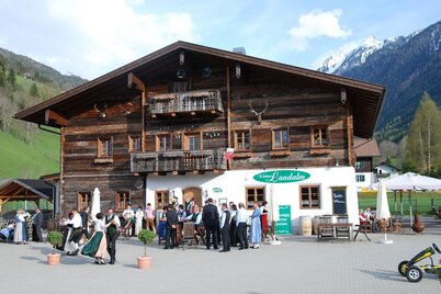
Landalm, Eschachhütt'n (approximately 30 minutes from the Nickel Museum)
Highlights:
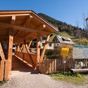
Nickel Museum
The tour
Map, elevation profile & further information
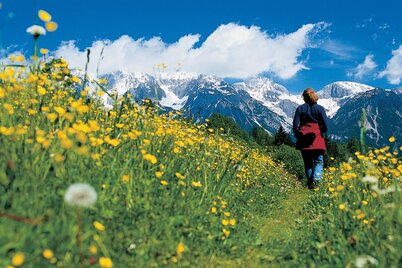
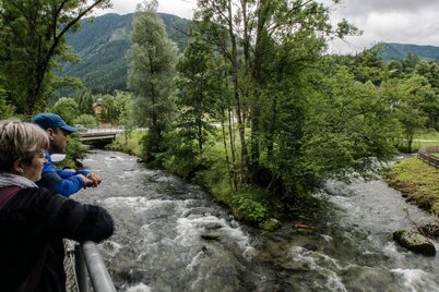
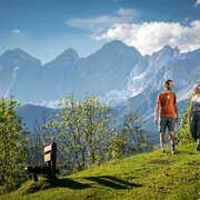
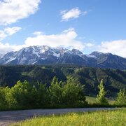
Heading towards the elementary school along the Ahornweg, you will pass many beautiful, traditional farms. The Dachstein massif at your back, the Schladminger Tauern, where the miners once dug for silver and nickel, before you. Follow the stream into the valley – and along the way, a perfect opportunity to cool off your feet in the cool, wet water. Hiking on to the Nickel Museum is definitely worthwhile. Ambitious hikers can add an extra 30 minutes by going to the Eschachalm. Along the entire route are bus stops for your return trip to Untertal or to Schladming.
- Buses of Planai-Hochwurzen-Bahnen: www.planaibus.at
GPS data and orienteering
Available GPS data - just like hiking maps - is only a guidance for orientation and can never depict a trail exactly with all its details. Especially at dangerous spots it is essential to judge on site how to proceed.
In an emergency please call:
- 140 - for Alpine emergencies (all over Austria)
- 112 - European GSM emergency number
Information about bus schedules: www.planaibus.at
- Hiking map Schladming, 1:25.000, available at the tourist office Schladming.
- Hiking map Schladming-Dachstein, 1:50.000, available at the tourist office Schladming.
- Tourist map "Hiking - Running - Walking", available at the tourist office Schladming.
