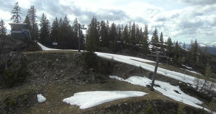
Hiking path to the Fageralmen
From the centre of Forstau, walk approx. 500 m along the main road in the direction of Radstadt and turn south into the Rotenloch forest road before the so-called Schreinbach bridge. The trail leads slightly uphill through the Heideggwald forest and over damp forest soil on a short forest path to open alpine pastureland - the Vorderfager - and to the Lechnerhütte (1,610m).
Continue along the hiking trail to the mountain inn Trinkeralm (1,885m) and enjoy the magnificent mountain panorama of the Dachstein massif. From the Trinkeralm there are many easy hikes in unspoilt mountain scenery, such as the Trinkeralm circular hiking trail, which takes about 45 minutes. The entire hike to the Trinkeralm mountain inn is an easy hiking route and takes about 3 hours to complete.


